


Why visit Gittelde
Townapedia lists 11 museums and landmarks, 6 parks and trails, 11 places to eat, 3 places to stay and 13 attractions in and around town.
Highlights include Bad Grund, Iberg Dripstone Cave, Burgruine Stauffenburg and Burgruine Windhausen – Oberburg.
Weather in Gittelde
Forecast from MET Norway (CC BY 4.0). Full forecast
About Gittelde
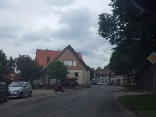
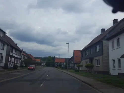
Gittelde (German pronunciation: [ˈɡɪtl̩də]) is a village and a former municipality in the district of Göttingen, in Lower Saxony, Germany. Since 1 March 2013, it is part of the municipality Bad Grund.
From the Wikipedia article Gittelde (this version), under CC BY-SA 4.0.
Things to do13

Bad Grund
Monument and historic site · 3.6 km
Municipality of Germany

Iberg Dripstone Cave
Monument and historic site · 4.9 km
Public cave and geology museum in Lower Saxony, northwestern Germany

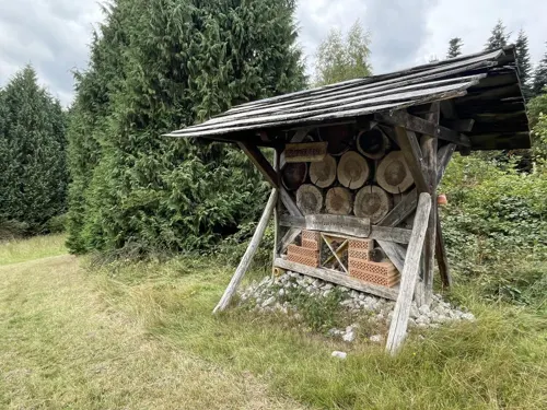

1 more on the map.
Museums and landmarks11



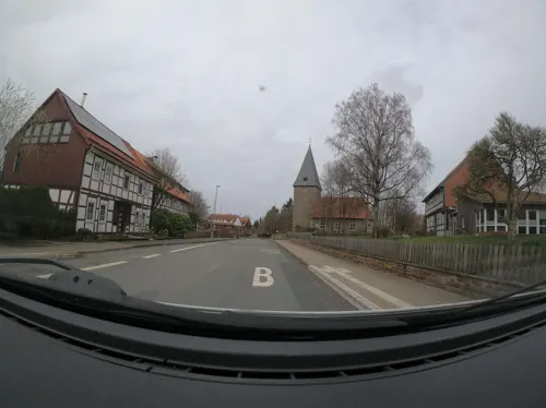


Parks, trails and playgrounds6
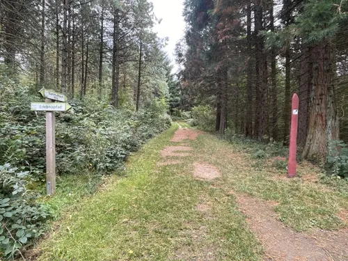

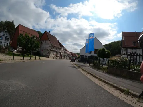

Restaurants and cafes11

Die Gärtnerei
Restaurant · German, Fast Food · 1.9 km
2 Teichhütter Straße, Bad Grund
Mo-Sa 07:00-20:00
Bäckerei Blum
Bakery · 3.6 km
Mo-Fr 06:30-13:00; Mo, Tu, Th, Fr 15:00-18:00; Sa 06:30-12:00



Pizza bei Vincenzo
Fast food · Pizzeria · 2.3 km
8 Obere Harzstraße, Bad Grund (Harz)
History
Gittelde was founded in the 10th century. In a document dating from 953 the place was mentioned for the first time, and a few years later market and mint rights were awarded in 965.
From the History section of Gittelde on Wikipedia, under CC BY-SA 4.0.
Where to stay3
Churches and places of worship7
Ev. Stadtkirche St. Antonius
Church · Lutheran · 3.6 km
22 Markt, Bad Grund
Shopping5
Gas and EV charging2
Schools, colleges and libraries2
Healthcare1
Map of Gittelde
61 places. The map loads OpenStreetMap tiles when you open it.
Getting there and nearby towns
Forschungsflughafen Braunschweig-Wolfsburg (BWE) is the nearest airport with scheduled flights listed in OpenStreetMap, 63 km away.
- Windhausen 2 km southeast, about 2 min by car
- Seesen 10 km north, about 10 min by car
- Clausthal-Zellerfeld 10 km east, about 10 min by car
- Kalefeld 11 km west, about 11 min by car
- Bad Gandersheim 14 km northwest, about 14 min by car
- Northeim 16 km southwest, about 16 min by car
- Kreiensen 17 km west, about 17 min by car
- Langelsheim 18 km northeast, about 18 min by car
- Herzberg am Harz 19 km southeast, about 19 min by car
- Goslar 20 km northeast, about 20 min by car
Drive times are estimates from straight-line distance, not routes.
Local news
Headlines from INDB.
Reviews, tips and questions
Loading what members have shared...
Sources and licences
- GeoNames (CC BY 4.0): population, coordinates, regions and time zone
- Mapillary (see each image): photos
- OpenStreetMap contributors (ODbL 1.0): places, airports, map data
- Wikidata (CC0 1.0): elevation, founding date, time zone, website, landmarks and historic places
- Wikimedia Commons (see each image): photos
- Wikipedia (CC BY-SA 4.0): overview and history text
Photo credits
- Blick auf Gittelde 01, Migebert, CC BY-SA 3.0
- Neue Straße 4 (Gittelde), Migebert, CC BY-SA 3.0
- Neue Straße 5 (Gittelde) 02, Migebert, CC BY-SA 3.0
- Neue Straße 5 (Gittelde) 01, Migebert, CC BY-SA 3.0
- Planstraße 6 (Gittelde) 02, Migebert, CC BY-SA 3.0
- Planstraße 6 (Gittelde) 03, Migebert, CC BY-SA 3.0
- Planstraße 4 (Gittelde) 02, Migebert, CC BY-SA 3.0
- Planstraße 4 (Gittelde) 03, Migebert, CC BY-SA 3.0
- Planstraße 2 (Gittelde) 01, Migebert, CC BY-SA 3.0
- Planstraße 4 (Gittelde) 01, Migebert, CC BY-SA 3.0
- Planstraße 2 (Gittelde) 02, Migebert, CC BY-SA 3.0
- Planstraße 6 (Gittelde) 01, Migebert, CC BY-SA 3.0
- Neustadt 15 (Gittelde) 02, Migebert, CC BY-SA 3.0
- Dr.-Heinrich-Uhde-Straße 1 (Gittelde) Feuerwehr 02, Migebert, CC BY-SA 3.0
- Planstraße 3 (Gittelde) 02, Migebert, CC BY-SA 3.0
- Neustadt Linde (Gittelde), Migebert, CC BY-SA 3.0
- Neustadt 15 (Gittelde) 01, Migebert, CC BY-SA 3.0
- Dr.-Heinrich-Uhde-Straße 1 (Gittelde) Feuerwehr 01, Migebert, CC BY-SA 3.0
- Dr.-Heinrich-Uhde-Straße 8 (Gittelde) Grundschule, Migebert, CC BY-SA 3.0
- Planstraße 2-8 (Gittelde), Migebert, CC BY-SA 3.0
- Thüringer Straße 10 (Gittelde) Kronprinz 01, Migebert, CC BY-SA 3.0
- Thüringer Straße 10 (Gittelde) Kronprinz 02, Migebert, CC BY-SA 3.0
- Planstraße Lange Straße 4 (Gittelde), Migebert, CC BY-SA 3.0
- Dr.-Heinrich-Uhde-Straße 7 (Gittelde) ND Linde + Johanneskirche, Migebert, CC BY-SA 3.0
- Planstraße 14 (Gittelde) 01, Migebert, CC BY-SA 3.0
- Planstraße 14 (Gittelde) 02, Migebert, CC BY-SA 3.0
- Dr.-Heinrich-Uhde-Straße 2 (Gittelde) 02, Migebert, CC BY-SA 3.0
- Planstraße 3 (Gittelde) 01, Migebert, CC BY-SA 3.0
- St. Johannes (Gittelde) 05, Migebert, CC BY-SA 3.0
- Sommerlinde an der St. Johannis Kirche in Gittelde 03, Migebert, CC BY-SA 3.0
- St. Johannes (Gittelde) 06, Migebert, CC BY-SA 3.0
- Dr.-Heinrich-Uhde-Straße 2 (Gittelde) 03, Migebert, CC BY-SA 3.0
- Kriegerdenkmal (Gittelde) 04, Migebert, CC BY-SA 3.0
- Breite Straße 1 (Gittelde) 01, Migebert, CC BY-SA 3.0
- Kriegerdenkmal (Gittelde) 05, Migebert, CC BY-SA 3.0
- Kriegerdenkmal (Gittelde) 07, Migebert, CC BY-SA 3.0
- Kriegerdenkmal (Gittelde) 03, Migebert, CC BY-SA 3.0
- Kriegerdenkmal (Gittelde) 06, Migebert, CC BY-SA 3.0
- Kriegerdenkmal (Gittelde) 08, Migebert, CC BY-SA 3.0
- Kriegerdenkmal (Gittelde) 09, Migebert, CC BY-SA 3.0
- BadGrund01s, Traveler100, CC BY-SA 3.0
- Iberger Tropfsteinhoehle, Siegbert Brey, CC BY-SA 4.0
- Burg Windhausen Mauerrest und Innenhof, Migebert, CC BY-SA 4.0
- Bad Grund um 1950, Hakanneu, CC BY-SA 4.0
- Merian Stauffenburg, User AxelHH on de.wikipedia, Public domain
- Gittelde1, Torbenbrinker, CC BY-SA 3.0
- Gittelde2, Torbenbrinker, CC BY-SA 3.0
- Am Rösteberg Kirche (Bad Grund) 01, Migebert, CC BY-SA 3.0
- Ehrenmal Eichelberg (Bad Grund) 06, Migebert, CC BY-SA 3.0
- Street-level photo, surveyor99, CC BY-SA 4.0
- Street-level photo, Langfahrer, CC BY-SA 4.0
- Street-level photo, ghyze, CC BY-SA 4.0
- Street-level photo, saschahaberkorn, CC BY-SA 4.0
- Street-level photo, surveyor99, CC BY-SA 4.0
- Street-level photo, Langfahrer, CC BY-SA 4.0
- Street-level photo, saschahaberkorn, CC BY-SA 4.0
- Street-level photo, Langfahrer, CC BY-SA 4.0
- Street-level photo, Langfahrer, CC BY-SA 4.0
- Street-level photo, Langfahrer, CC BY-SA 4.0
- Street-level photo, ghyze, CC BY-SA 4.0
- Street-level photo, Langfahrer, CC BY-SA 4.0
- Street-level photo, Langfahrer, CC BY-SA 4.0
- Street-level photo, Langfahrer, CC BY-SA 4.0
- Street-level photo, Langfahrer, CC BY-SA 4.0
- Street-level photo, ghyze, CC BY-SA 4.0
- Street-level photo, Langfahrer, CC BY-SA 4.0


Page built November 9, 2026. Spotted a mistake? Tell us or suggest a place.