


Why visit Erbach
Townapedia lists 23 museums and landmarks, 20 parks and trails, 72 places to eat, 8 places to stay and 13 attractions in and around town.
Highlights include Getreidemühle und Transporte Anton Braun, Spargel- und Beerenhof Thumm, Maria Hausser and Schloss Erbach.
Weather in Erbach
Forecast from MET Norway (CC BY 4.0). Full forecast
About Erbach
Erbach (German pronunciation: [ˈɛʁbax] ; Swabian: Ärrbach) is a town on the Danube River in Baden-Württemberg, Germany. Located in the Alb-Donau District, Erbach lies between Ulm and Ehingen an der Donau on the southern edge of the Swabian Jura.
From the Wikipedia article Erbach, Baden-Württemberg (this version), under CC BY-SA 4.0.
Things to do13
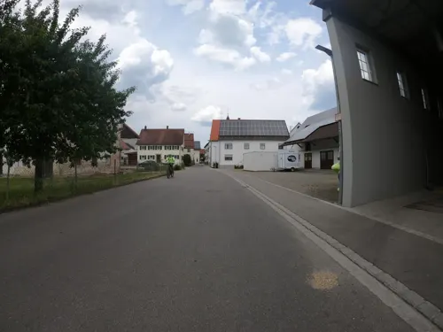
Getreidemühle und Transporte Anton Braun
Farm and orchard · 3.3 km
7 Wasserturmweg, Erbach
Mo-Tu off; We-Fr 08:00-12:00, 14:00-18:00; Sa 07:00-12:00
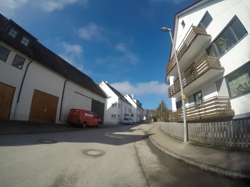
Spargel- und Beerenhof Thumm
Farm and orchard · 5.9 km
12 Schmiedackergasse, Ulm
Apr-Jun: Mo-Su 08:00-19:00; Jul:Tu 08:00-18:00; Jul:Th...
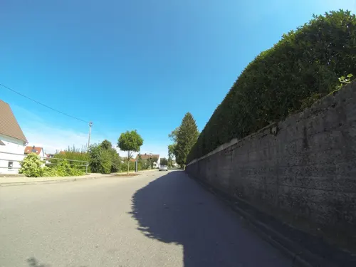
Buchele Fruchtsäfte
Farm and orchard · 2.9 km
23 Ulmer Straße, Erbach
Fr 09:00-12:00, 13:00-18:00; Sa 09:00-12:00, 13:00-18:00


Hofladen Scheck
Farm and orchard · 5.9 km
Tu-Th 08:00 - 12:30, 15:00 - 18:30; Fr 08:00 - 18:30; Sa 08:00 - 12:00

1 more on the map.
Museums and landmarks23


Friedhof der ehemaligen Landesarmenanstalt Oberer Riedhof
Cemetery · 5.6 km
Erbacher Straße, Ulm


Sonnwendplatz
Monument and historic site · 5.6 km
Keine historische Stätte, sondern ein 1989 angelegter Platz für Funkenfeuer und angelehnt dem Vorbild von Stonehenge
Reichsfestung Ulm: Stützpunkt 45 (Trümmer, gesprengt) Graben intakt
Monument and historic site · 6.4 km
Www.festung-ulm.de

Schlossmuseum
Museum · 0.6 km
Das Museum kann nach Vereinbarung von Mai bis Oktober von Gruppen besucht werden.
Stützpunkt 45 (gesprengt, Graben intakt)
Monument and historic site · 6.5 km
Www.festung-ulm.de
11 more on the map.
Parks, trails and playgrounds20



Spielplatz Merzenbeund
Playground
Rutsche, Kletterwand, Spielhaus, Schaukeln, Sandfläche, Strikleiter


8 more on the map.
Restaurants and cafes72
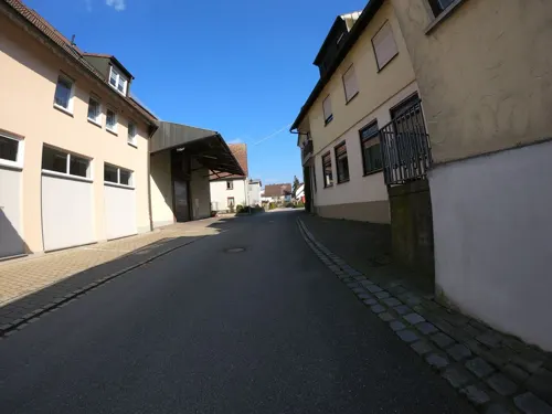
Brauerei-Gasthof Adler
Restaurant · German, Regional · 3.0 km
2 Adlergasse, Erbach
Tu 14:00-22:00;We-Su 10:00-22:00

Hirsch
Restaurant · 6.0 km
9 Schultheißenstraße, Ulm
Mo,Fr 17:00-22:30; We,Th 11:30-14:00,17:00-22:30; Fr 17:00-23:00;...
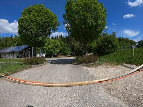
Sportgaststätte Ringingen
Restaurant · Regional, German · 5.9 km
80 Blaubeurer Straße, Erbach
Th-Fr 17:00-22:00, Sa 16:00-22:00, Su 10:30-20:00
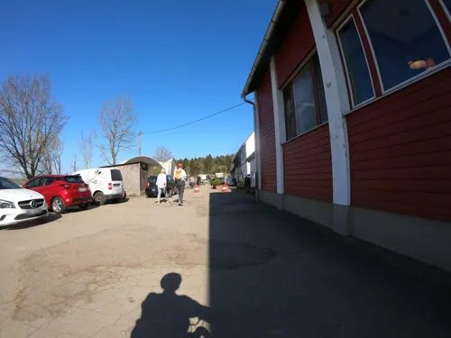
Wirtshaus im Butzental
Restaurant · Regional · 6.2 km
1 Butzental, Ulm
Mar-Oct Mo-Fr 14:00-18:00+, Mar-Oct PH,Sa,Su 11:00-18:00+,...
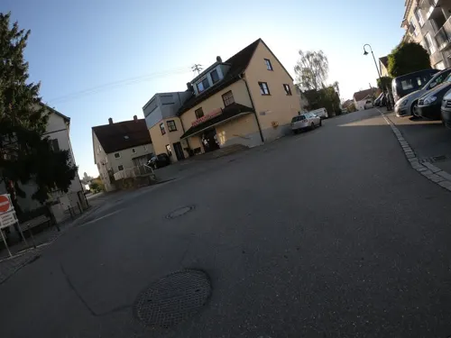
Bäckerei Konditorei Seemann
Bakery · 3.2 km
1 Werdensteinstraße, Erbach
Mo-Sa 06:30-12:30, Mo-Fr 14:30-18:00

Bäckerei Volz
Bakery · 5.1 km
21 Hauptstraße, Oberdischingen
Mo-Tu 06:30-12:15,14:30-17:30; We off; Th-Fr...
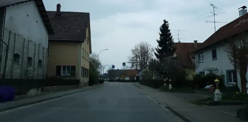
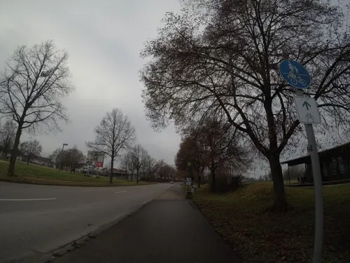
Halde
Restaurant · 3.5 km
90 Bertholdstraße, Ulm
Tu-Fr 16:00-24:00; Sa 14:45-24:00 "mit Bundesliga"; Sa 16:00-22:00...
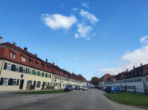
Klein & Fein
Cafe · 5.1 km
3 Schlossplatz
Mo,Tu 14:00-18:00; We 14:00-19:00; Th 14:00-22:00; Sa 14:00-20:00;...
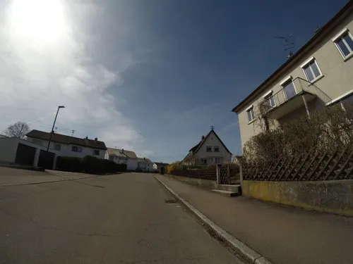
La Dolce Primavera
Restaurant · Italian · 5.4 km
Mo off; Tu-Fr 11:30-14:00, 16:30-22:00; Sa-Su 11:30-22:00
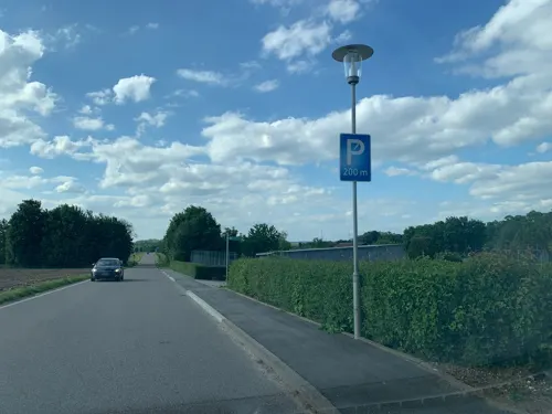


60 more on the map.
History
The oldest known mention of Erbach was in the Konstanz Tithe Book in 1275 as a parish called Irlebach, although findings dating from the Neolithic Age indicate the area around Erbach was settled earlier. Erbach received town privileges on August 1, 2002.
In 1972 the community Ringingen was incorporated into Erbach. In the course of community reforms in 1974 the communities Bach, Dellmensingen, Donaurieden and Ersingen were also incorporated into Erbach.
From the History section of Erbach, Baden-Württemberg on Wikipedia, under CC BY-SA 4.0.
Where to stay8
Churches and places of worship40
St. Nikolaus
Church · Roman Catholic · 2.5 km
4 Donaurieder Straße, Erbach
St. Stefanus
Church · Roman Catholic · 5.6 km
8 Kirchstraße, Achstetten
Wallfahrtskirche zur Heiligen Dreifaltigkeit
Church · Roman Catholic · 5.6 km
Shopping14
Gas and EV charging9
Schools, colleges and libraries22
Healthcare3
Map of Erbach
224 places. The map loads OpenStreetMap tiles when you open it.
Getting there and nearby towns
Memmingen Airport (FMM) is the nearest airport with scheduled flights listed in OpenStreetMap, 46 km away.
- Ulm 11 km northeast, about 11 min by car
- Laupheim 11 km south, about 11 min by car
- Laichingen 23 km northwest, about 23 min by car
- Langenau 25 km northeast, about 25 min by car
- Münsingen 30 km west, about 30 min by car
- Geislingen an der Steige 33 km north, about 33 min by car
- Gerstetten 34 km north, about 34 min by car
- Riedlingen 36 km southwest, about 36 min by car
- Herbrechtingen 39 km northeast, about 39 min by car
- Heidenheim an der Brenz 43 km northeast, about 43 min by car
Drive times are estimates from straight-line distance, not routes.
Local news
Headlines from INDB.
Reviews, tips and questions
Loading what members have shared...
Sources and licences
- GeoNames (CC BY 4.0): population, coordinates, regions and time zone
- Mapillary (see each image): photos
- OpenStreetMap contributors (ODbL 1.0): places, airports, map data
- Wikidata (CC0 1.0): elevation, founding date, time zone, website, landmarks and historic places
- Wikimedia Commons (see each image): photos
- Wikipedia (CC BY-SA 4.0): overview and history text
Photo credits
- Schloss Erbach und Pfarrkirche St. Martin, ubahnverleih, CC0
- St. Martin (Erbach), ubahnverleih, CC0
- Zentrum, Erbach (Donau), ubahnverleih, CC0
- Rathaus Erbach (Donau) (4), ubahnverleih, CC0
- Verzierungen Rathaus Erbach (Donau), ubahnverleih, CC0
- Rathaus Erbach (Donau), ubahnverleih, CC0
- Rathaus Erbach (Donau) (3), ubahnverleih, CC0
- Rathaus Erbach (Donau) (2), ubahnverleih, CC0
- Jahnschule Erbach (Donau), ubahnverleih, CC0
- Erbach - panoramio, Richard Mayer, CC BY 3.0
- Erlöserkirche Erbach (Donau), ubahnverleih, CC0
- Rückseite Schloss Erbach, ubahnverleih, CC0
- 2026 Erbach Railway station 218, Jacquesverlaeken, CC BY 4.0
- Schloss Erbach, ubahnverleih, CC0
- Schloss Erbach (2), ubahnverleih, CC0
- Nebengebäude Schloss Erbach und St. Martin, ubahnverleih, CC0
- Bahnhof Erbach (Württ.) V, Triefeline, CC BY-SA 4.0
- Banhof Erbach (Württ.) IV, Triefeline, CC BY-SA 4.0
- Panorama Erbach (Donau), ubahnverleih, CC0
- Schloss Erbach Innenhof - panoramio, Richard Mayer, CC BY 3.0
- 2026 Schoss Erbach pas visitable 221, Jacquesverlaeken, CC BY 4.0
- Schloss Erbach - panoramio (1), Richard Mayer, CC BY 3.0
- 2026 Schloss Erbach bright yellow 222, Jacquesverlaeken, CC BY 4.0
- Soeflingen Abbey, mural, Ekki01, CC BY-SA 4.0
- HfGUlmbuilding, modernist design, CC BY-SA 2.0
- Aerial image of the Erbach Castle (view from the southeast), Carsten Steger, CC BY-SA 4.0
- Oberamtsgrenzstock Oberamt Ulm - Oberamt Laupheim I, Reutlingendorf, CC BY-SA 4.0
- Franziskuskirche Ersingen1, Schneebiene, CC0
- Dellmensingen parish church St Cosmas and Damian, Ekki01, CC BY-SA 3.0
- Bach (Erbach), St. Nikolaus (31), Subbass1, CC BY-SA 4.0
- Stetten (Achstetten), St. Stephanus (40), Subbass1, CC BY-SA 4.0
- Grimmelfingen, Jakobuskirche (05), Subbass1, CC BY-SA 4.0
- Friedhof der ehemaligen Landesarmenanstalt Oberer Riedhof - Grimmelfingen X, Reutlingendorf, CC BY-SA 4.0
- Kapelle St. Josef, Wernau (Erbach), ubahnverleih, CC0
- Kirche St Michael, Donaurieden, ubahnverleih, CC0
- Dreifaltigkeitskapelle, Dr. Eugen Lehle, CC BY-SA 3.0
- Stolperstein für Maria Hausser, DorianLe, CC BY-SA 4.0
- Oberamtsgrenztafel Ulm Laupheim, Unterillertaler, CC BY-SA 3.0
- Stolperstein in Ulm (Ulm), Christian Michelides, CC BY-SA 4.0
- Stetten (Achstetten), St. Stephanus (35), Subbass1, CC BY-SA 4.0
- Street-level photo, tst, CC BY-SA 4.0
- Street-level photo, ray66, CC BY-SA 4.0
- Street-level photo, tst, CC BY-SA 4.0
- Street-level photo, tst, CC BY-SA 4.0
- Street-level photo, osm_tron, CC BY-SA 4.0
- Street-level photo, tst, CC BY-SA 4.0
- Street-level photo, tst, CC BY-SA 4.0
- Street-level photo, tst, CC BY-SA 4.0
- Street-level photo, ray66, CC BY-SA 4.0
- Street-level photo, msdess, CC BY-SA 4.0
- Street-level photo, ray66, CC BY-SA 4.0
- Street-level photo, ray66, CC BY-SA 4.0
- Street-level photo, osm_tron, CC BY-SA 4.0
- Street-level photo, tst, CC BY-SA 4.0
- Street-level photo, msdess, CC BY-SA 4.0
- Street-level photo, tst, CC BY-SA 4.0
- Street-level photo, msdess, CC BY-SA 4.0
- Street-level photo, tst, CC BY-SA 4.0
- Street-level photo, tst, CC BY-SA 4.0
- Street-level photo, tst, CC BY-SA 4.0
- Street-level photo, tst, CC BY-SA 4.0
- Street-level photo, tst, CC BY-SA 4.0
- Street-level photo, tst, CC BY-SA 4.0
- Street-level photo, tst, CC BY-SA 4.0
- Street-level photo, tst, CC BY-SA 4.0
- Street-level photo, VIA_CH, CC BY-SA 4.0
- Street-level photo, looniverse, CC BY-SA 4.0
- Street-level photo, tst, CC BY-SA 4.0
- Street-level photo, dulliman, CC BY-SA 4.0


Page built November 8, 2026. Spotted a mistake? Tell us or suggest a place.