


Why visit Gaimersheim
Townapedia lists 18 museums and landmarks, 21 parks and trails, 105 places to eat, 8 places to stay and 7 attractions in and around town.
Highlights include CineStar, Stadttheater Ingolstadt, Museum Mobile and Heimatmuseum Eitensheim.
Weather in Gaimersheim
Forecast from MET Norway (CC BY 4.0). Full forecast
About Gaimersheim
Gaimersheim (German pronunciation: [ˈɡaɪmɐshaɪm]) is a municipality in the district of Eichstätt, in Bavaria, Germany. It is situated 7 km northwest of Ingolstadt.
From the Wikipedia article Gaimersheim (this version), under CC BY-SA 4.0.
Things to do7

CineStar
Cinema and theater · 4.0 km
2 Am Westpark, Ingolstadt
"öffnen täglich 15 Minuten vor der ersten Vorstellung und...

Stadttheater Ingolstadt
Cinema and theater · 6.6 km
Theatre building in Ingolstadt, Germany

Geflügel und Gemüse Heindl - Hof
Farm and orchard · 3.4 km
Geflügel, Eier, Obst und Gemüse
2 Am Dachsberg, Ingolstadt
Mo-Fr 08:00-18:00;Sa 08:00-12:00

Museums and landmarks18

Museum Mobile
Museum · 4.3 km
Ettinger Straße, Ingolstadt
Mo off, Tu-Fr 09:00-17:00, Sa,Su,PH 10:00-16:00

Heimatmuseum Eitensheim
Museum · 3.6 km
7 Am Bachl, Eitensheim
"für interessierte Gruppen nach Voranmeldung"


6 more on the map.
Parks, trails and playgrounds21


Freibad Gaimersheim
Sports field and stadium
15 Martin-Ludwig-Straße, Gaimersheim


9 more on the map.
Restaurants and cafes105
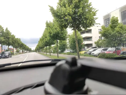
Asien Palast
Restaurant · Asian · 3.7 km
14 Friedrichshofener Straße, Ingolstadt
Mo-Su 11:30-15:00,17:30-23:00


Burgerheart
Restaurant · Burger · 4.1 km
2 Am Westpark, Ingolstadt
Mo-Th 11:30-22:30; Fr,Sa 11:30-23:00; Su 17:00-22:30
Cafe Restaurant Zarrillo
Restaurant · Italian · 4.1 km
38 Levelingstraße, Ingolstadt
Mo,We-Fr 08:30-23:00; Sa 08:30-16:00; Su 08:30-22:00; Tu off
India House Indisches Restaurant
Restaurant · Indian
17 Martin-Ludwig-Straße, Gaimersheim
Mo off; Tu-Su 11:00-14:30,16:30-22:30
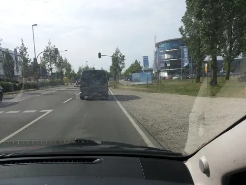
Kokono
Restaurant · Asian · 4.0 km
1 Friedrichshofener Straße, Ingolstadt
Mo-Sa 11:30-15:00,17:00-23:00; Su,PH 12:00-22:00
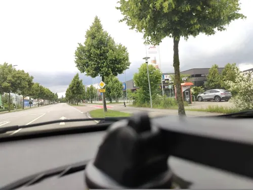
Maharani
Restaurant · Indian · 3.6 km
16 Friedrichshofener Straße, Ingolstadt
Mo 17:15-23:00; Tu-Su 11:30-14:30,17:15-23:00
Marktrestaurant Audi Forum Ingolstadt
Restaurant · International · 4.4 km
1 Auto-Union-Straße, Ingolstadt
Mo-Fr 08:00-17:00; Sa,Su,PH 10:00-15:00
Milano Pizza Express
Restaurant · Pizza · 4.1 km
52 Krumenauerstraße, Ingolstadt
Mo 17:00-21:45; Tu-Th 11:00-13:45,17:00-21:45; Fr...


Mio
Restaurant · Italian · 4.1 km
23 Schelldorfer Straße, Wettstetten
Tu-Su 11:30-14:30, 17:30-23:00; Mo off
Nynamy
Restaurant · Vietnamese, Sushi · 3.0 km
140 Ingolstädter Straße, Ingolstadt
Mo-Sa 11:00-14:30,17:00-22:30; Su 17:00-22:30
93 more on the map.
Where to stay8
LIVE’N’WORK | Hotel & CoWorking im GVZ Ingolstadt
Motel and hotel · 3.3 km
6 Pascalstraße, Ingolstadt
greenpartment boardinghousehotel Ingolstadt Friedrichshofen
Motel and hotel · 3.2 km
99 Schultheißstraße, Ingolstadt
Churches and places of worship18
Mariä Aufnahme in den Himmel
Church · Roman Catholic
22 Untere Marktstraße, Gaimersheim
St. Michael
Church · Roman Catholic · 2.7 km
2 St.-Michael-Straße, Ingolstadt
Kreuzkirche Ingolstadt - Evangelisch-Freikirchliche Gemeinde
Church · Baptist · 4.5 km
3 Onckenweg, Ingolstadt
Shopping31
Gas and EV charging15
Schools, colleges and libraries15
THI - Technical University of Applied Sciences in Ingolstadt
School · 6.5 km
Healthcare20
Map of Gaimersheim
250 places. The map loads OpenStreetMap tiles when you open it.
Getting there and nearby towns
Ingolstadt Manching Airport (IGS) is the nearest airport with scheduled flights listed in OpenStreetMap, 16 km away.
- Ingolstadt 6 km southeast, about 6 min by car
- Manching 14 km southeast, about 14 min by car
- Neuburg an der Donau 16 km southwest, about 16 min by car
- Schrobenhausen 29 km south, about 29 min by car
- Neustadt an der Donau 29 km east, about 29 min by car
- Wolnzach 29 km southeast, about 29 min by car
- Pfaffenhofen an der Ilm 32 km south, about 32 min by car
- Mainburg 35 km southeast, about 35 min by car
- Treuchtlingen 37 km northwest, about 37 min by car
- Weißenburg in Bayern 38 km northwest, about 38 min by car
Drive times are estimates from straight-line distance, not routes.
Local news
Headlines from INDB.
Reviews, tips and questions
Loading what members have shared...
Sources and licences
- GeoNames (CC BY 4.0): population, coordinates, regions and time zone
- Mapillary (see each image): photos
- OpenStreetMap contributors (ODbL 1.0): places, airports, map data
- Wikidata (CC0 1.0): elevation, founding date, time zone, website, landmarks and historic places
- Wikimedia Commons (see each image): photos
- Wikipedia (CC BY-SA 4.0): overview and history text
Photo credits
- Gaimersheim im Landkreis Eichstätt Rathaus, Rensi, Public domain
- Haupteingang des Stadttheaters Ingolstadt, Christian-wittmann-1964, CC BY-SA 4.0
- Museum mobile Ingolstadt, Sebastian Terfloth User:Sese_Ingolstadt, CC BY-SA 3.0
- Westpark Ingolstadt 2006, IN_Madde, CC BY-SA 3.0
- Klinikum-Ingolstadt-Aussenaufnahme, Klinikum Ingolstadt, CC BY-SA 4.0
- Kirche Sankt Michael in Etting (Ingolstadt), Chrisi1964, CC BY-SA 4.0
- Eitensheim im Landkreis Eichstätt Pfarrkirche St. Andreas, Rensi at German Wikipedia, Public domain
- Gaimersheim EI 019, DALIBRI, CC BY-SA 4.0
- Gaimersheim im Landkreis Eichstätt Kath. Pfarrkirche, Rensi, Public domain
- St. Georg und Leonhard - Lippertshofen EI 008, DALIBRI, CC BY-SA 4.0
- Kirche Sankt Martin Wettstetten, Chrisi1964, CC BY-SA 4.0
- Kirche Wettstetten Holz, Brutarchitekt, CC BY-SA 4.0
- Mariä Unbefleckte Empfängnis Gaimersheim 01, H.Helmlechner, CC BY-SA 4.0
- Landesgartenschau Ingolstadt, Do buidl wigg, CC BY-SA 4.0
- Mariä Aufnahme - Gaimersheim 001, DALIBRI, CC BY-SA 4.0
- St. Georg und Leonhard - Lippertshofen EI 009, DALIBRI, CC BY-SA 4.0
- Street-level photo, renade, CC BY-SA 4.0
- Street-level photo, poxonline, CC BY-SA 4.0
- Street-level photo, poxonline, CC BY-SA 4.0
- Street-level photo, poxonline, CC BY-SA 4.0
- Street-level photo, renade, CC BY-SA 4.0
- Street-level photo, renade, CC BY-SA 4.0
- Street-level photo, renade, CC BY-SA 4.0
- Street-level photo, patchi, CC BY-SA 4.0
- Street-level photo, renade, CC BY-SA 4.0
- Street-level photo, renade, CC BY-SA 4.0
- Street-level photo, kgvx, CC BY-SA 4.0
- Street-level photo, renade, CC BY-SA 4.0
- Street-level photo, renade, CC BY-SA 4.0
- Street-level photo, patchi, CC BY-SA 4.0
- Street-level photo, poxonline, CC BY-SA 4.0
- Street-level photo, kgvx, CC BY-SA 4.0
- Street-level photo, poxonline, CC BY-SA 4.0
- Street-level photo, renade, CC BY-SA 4.0
- Street-level photo, renade, CC BY-SA 4.0
- Street-level photo, renade, CC BY-SA 4.0
- Street-level photo, renade, CC BY-SA 4.0
- Street-level photo, renade, CC BY-SA 4.0
- Street-level photo, renade, CC BY-SA 4.0


Page built November 8, 2026. Spotted a mistake? Tell us or suggest a place.