


Why visit Belm
Townapedia lists 60 museums and landmarks, 67 parks and trails, 137 places to eat, 16 places to stay and 23 attractions in and around town.
Highlights include Farm shop Meyerhof Belm, Schlehbaumhof -Hofladen, Helmichsteine and Wittekindsburg.
Weather in Belm
Forecast from MET Norway (CC BY 4.0). Full forecast
About Belm
Belm (German pronunciation: [bɛlm]) is a municipality in the district of Osnabrück, in Lower Saxony, Germany. It is located in the Wiehengebirge, approximately 7 km northeast of Osnabrück, and is therefore part of the city-agglomeration of Osnabrück. It is seated in the middle of the TERRA.vita Nature Park. Two little right tributaries of the river Hase flow through it.
From the Wikipedia article Belm (this version), under CC BY-SA 4.0.
Things to do23


Hall of Fame
Cinema and theater · 5.9 km
6-9 Theodor-Heuss-Platz, Osnabrück
Mo-We 15:30-18:00+; Th,Fr 13:30-18:00+; Sa,Su 10:30-18:00+

Theater Osnabrück
Cinema and theater · 6.6 km
Multi-discipline theater in Osnabrück, Germany




11 more on the map.
Museums and landmarks60


Wittekindsburg
Monument and historic site · 4.5 km
Ruinen einer frühmittelalterlichen Burganlage mit Haupt- und Vorburg
Felix Nussbaum Haus
Museum · 7.0 km
Museum dedicated to Felix Nussbaum in Osnabrück, Germany



Karl-Luhmann-Heim
Monument and historic site · 5.1 km
Gemeinnützige GmbH für hörgeschädigte Menschen
96 Knollstraße, Osnabrück



48 more on the map.
Parks, trails and playgrounds67


Schinkelbad
Sports field and stadium · 3.9 km
Öffnungszeiten für Kursbecken, Salounge, Textilsauna sind nicht gelistet und können von den eingetragenen Öffnungszeiten abweichen.
37 Im Wegrott, Osnabrück
Mo 08:00-21:00 "Sportbad belegt: Schulen"; Tu 06:00-21:00; We...




55 more on the map.
Restaurants and cafes137

Hohenzollern Restaurant-Bistro-Bar
Restaurant · German, Regional, Burger, Steak · 5.9 km
5 Theodor-Heuss-Platz, Osnabrück
07:30-23:00
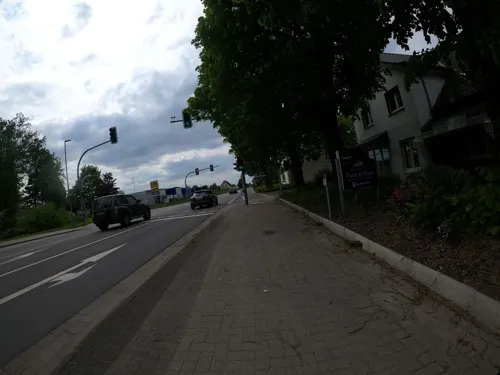
Restaurant Pane und Vino im Gasthaus Heckmann
Restaurant · Italian · 4.4 km
Mindener Straße, Bissendorf
We-Mo 17:30-23:00
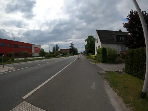
Brinkhege Treffpunkt Backstube
Bakery · 4.1 km
Mindener Straße, Bissendorf
Mo-Sa 05:00-18:00, Su 08:00-18:00
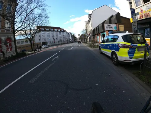
Bul'Var
Restaurant · Pizza, Burger · 6.0 km
39 Möserstraße, Osnabrück
12:00-23:00; Th 00:00-01:00,12:00-01:00; Fr,Sa 12:00-01:00
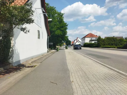


Restaurant MISO
Restaurant · Japanese · 2.1 km
Mo,Tu 12:00-14:30,17:30-23:00; We off; Th 17:30-23:00; Fr...
125 more on the map.
Where to stay16
Churches and places of worship33
Heilig-Kreuz-Kirche
Church · Catholic · 4.4 km
89 Schützenstraße, Osnabrück
Kirche der Mutter Gottes Maria
Church · Greek Orthodox · 5.2 km
131 Lerchenstraße, Osnabrück
Mount Zion Deliverance Church of Christ
Church · Pentecostal · 3.8 km
13 Pommersche Straße, Osnabrück
Shopping38
Gas and EV charging23
Ladestation Bahnhofsgarage
EV charging · 5.9 km
10 Theodor-Heuss-Platz, Osnabrück
Ladestation Stadtwerke Osnabrück
EV charging · 5.9 km
9 Alte Poststraße, Osnabrück
Schools, colleges and libraries34
Healthcare15
Map of Belm
250 places. The map loads OpenStreetMap tiles when you open it.
Getting there and nearby towns
Münster Osnabrück Airport (FMO) is the nearest airport with scheduled flights listed in OpenStreetMap, 36 km away.
- Osnabrück 6 km southwest, about 6 min by car
- Bissendorf 8 km south, about 8 min by car
- Wallenhorst 10 km northwest, about 10 min by car
- Georgsmarienhütte 12 km southwest, about 12 min by car
- Hasbergen 14 km southwest, about 14 min by car
- Bohmte 14 km northeast, about 14 min by car
- Lotte 15 km west, about 15 min by car
- Bramsche 16 km northwest, about 16 min by car
- Westerkappeln 18 km west, about 18 min by car
- Hilter 18 km south, about 18 min by car
Drive times are estimates from straight-line distance, not routes.
Local news
Headlines from INDB.
Reviews, tips and questions
Loading what members have shared...
Sources and licences
- GeoNames (CC BY 4.0): population, coordinates, regions and time zone
- Mapillary (see each image): photos
- OpenStreetMap contributors (ODbL 1.0): places, airports, map data
- Wikidata (CC0 1.0): elevation, founding date, time zone, website, landmarks and historic places
- Wikimedia Commons (see each image): photos
- Wikipedia (CC BY-SA 4.0): overview and history text
Photo credits
- Icker Loch Belm, Tebdi, CC BY-SA 3.0
- Belm - Ententeich-Park -BT- 01, Basotxerri, CC BY-SA 4.0
- Höhenmarke Belm Kirche Turm, Ulrich Kulle, CC BY-SA 4.0
- Höhenmarke Belm, Ulrich Kulle, CC BY-SA 4.0
- Osnabrueck Theater 13, J.-H. Janßen, CC BY-SA 4.0
- FelixNussbaumHaus, Studio Daniel Libeskind, CC BY 3.0
- OSHegerTor, MrsMyer at German Wikipedia, CC BY-SA 3.0
- OS-zoo-eingang, A.Savin, CC BY-SA 3.0
- OSStKatharinen, MrsMyer, CC BY-SA 3.0
- St. Marien Osnabrueck, Garitzko, Public domain
- Osnabrück Dom Westseite, Tebdi, CC BY-SA 3.0
- Neuer Graben-Schloss Osnabrueck, Jens-Olaf Walter, CC BY 2.0
- Butterstein, Megalithicguy, CC BY-SA 3.0
- Gretescher steine 10, Sail over, CC BY-SA 3.0
- Teufelssteine 06, Sail over, CC BY-SA 3.0
- Sundermannsteine 12, Sail over, CC BY-SA 3.0
- Rulle helmichsteine 06, Sail over, CC BY-SA 3.0
- Findlinge im Steinernen Meer bei Belm, Wummelwurz, CC BY-SA 3.0
- Os oestringer steine ii 01, Sail over, CC BY-SA 3.0
- Wittekindsburg rundturm 04, Sail over, CC BY-SA 3.0
- Belm Christuskirche, Sail over, CC BY-SA 3.0
- Nettebad Osnabrück Südseite, N9713, CC BY-SA 4.0
- Osnabrück Sonnenhügel Erlöserkirche, Tebdi, CC BY-SA 3.0
- Jakobuskirche OS, jojeska, CC0
- Osnabrück Bürgerpark 3, Corradox, CC BY-SA 3.0
- Osnabrück - Bürgerpark 02, Basotxerri, CC BY-SA 4.0
- Hotel Hohenzollern am Bahnhof Osnabrück, Ramsch, CC BY-SA 4.0
- Osnabrück Schinkel Pauluskirche, Tebdi, CC BY-SA 3.0
- Osnabrück Schinkel Heilig-Kreuz-Kirche, Tebdi, CC BY-SA 3.0
- Osnabrück Sonnenhügel Matthäuskirche, Tebdi, CC BY-SA 3.0
- Bremer Brücke 12 2023, Owski97, CC0
- Belm - St. Dionysius -BT- 01, Basotxerri, CC BY-SA 4.0
- Butterstein im Steinernen Meer bei Belm, Wummelwurz, CC BY-SA 3.0
- Christuskirche Raum, Belehm, CC BY-SA 4.0
- Orgel Christuskirche, Belehm, CC BY-SA 4.0
- 20240107 154423 Hall of Fame, Ramsch, CC BY-SA 4.0
- Osnabrück - Gertrudenberg 01, Basotxerri, CC BY-SA 4.0
- Street-level photo, VIA_KK, CC BY-SA 4.0
- Street-level photo, changchun1, CC BY-SA 4.0
- Street-level photo, changchun1, CC BY-SA 4.0
- Street-level photo, VIA_KK, CC BY-SA 4.0
- Street-level photo, changchun1, CC BY-SA 4.0
- Street-level photo, VIA_KK, CC BY-SA 4.0
- Street-level photo, VIA_KK, CC BY-SA 4.0
- Street-level photo, VIA_KK, CC BY-SA 4.0
- Street-level photo, VIA_KK, CC BY-SA 4.0
- Street-level photo, VIA_KK, CC BY-SA 4.0
- Street-level photo, VIA_KK, CC BY-SA 4.0
- Street-level photo, hendel, CC BY-SA 4.0


Page built November 8, 2026. Spotted a mistake? Tell us or suggest a place.