


Grafing bei München, Germany
Grafing bei München is a town of 13,942 people in Bavaria, Germany.
Why visit Grafing bei München
Townapedia lists 31 museums and landmarks, 19 parks and trails, 81 places to eat, 6 places to stay and 14 attractions in and around town.
Highlights include Aussichtsturm Ludwigshöhe, Capitol, Grabkreuzmuseum M. Bergmeister and Museum der Stadt Grafing.
Weather in Grafing bei München
Forecast from MET Norway (CC BY 4.0). Full forecast
About Grafing bei München
Grafing bei München (officially: Grafing b.München, pronounced [ˈɡʁaːfɪŋ baɪ ˈmʏnçn̩] , lit. 'Grafing near Munich') is a town in the district of Ebersberg, Upper Bavaria, Germany.
From the Wikipedia article Grafing (this version), under CC BY-SA 4.0.
Things to do14

Aussichtsturm Ludwigshöhe
Scenic view · 4.9 km
35 m hoch, 169 Stufen laut Stadtverwaltung; bei @BeKri 22*8=176 Stufen, def. keine 368 wie nach SZ
24/7





2 more on the map.
Museums and landmarks31


Museum der Stadt Grafing
Museum
10 Bahnhofstraße, Grafing bei München
Th 18:00-20:00; Su 14:00-16:00; PH off

Museum Wald und Umwelt
Museum · 4.8 km
2 Ludwigshöhe, Ebersberg
Sa,Su,PH 11:00-17:00; Dec 24-25 off; Nov 01,Dec 31 off; easter off

Adelssitz Grafing - Brauhaus Wildbräu
Monument and historic site
Ehemaliges Wildbräu Brauhaus
2 Marktplatz, Grafing b. München


Schloss Elkofen
Monument and historic site · 1.7 km
1 Schloss Elkofen, Grafing b. München



Garbermühle
Monument and historic site
Erstes Elektrizitätswerk für Oexing (sic!) und Grafing ab 1897
27 Mühlenstraße, Grafing bei München
Gerberei Enthammer
Monument and historic site
18 Griesstraße, Grafing bei München
19 more on the map.
Parks, trails and playgrounds19


Freibad Grafing
Sports field and stadium · 0.6 km
11 Am Stadion, Grafing bei München
May-Sep 07:45-20:00; May-Sep We 07:00-20:00



7 more on the map.
Restaurants and cafes81
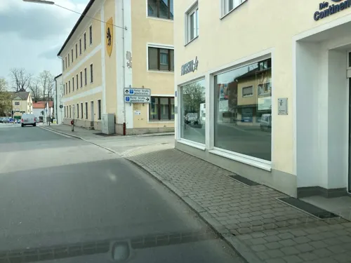
Jugendinitiative Grafing
Bar and pub
8 Rotter Straße, Grafing bei München
We 19:00+; "nach Vereinbarung"
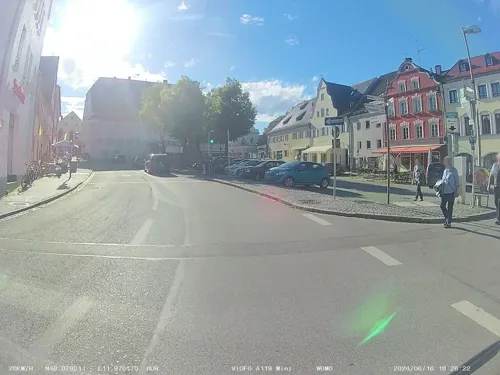
Arte
Bar and pub · International · 3.6 km
Cocktailbar, Cafe Lounge, Party Location
6 Marienplatz
Tu, We 18:00-24:00; Th 18:00-01:00; Fr, Sa 18:00-03:00; Su 18:00-23:00

Elli's Caféhaus
Cafe · Coffee Shop
Alle Kuchen, Torten und Speisen sind hausgemacht. Täglich wechselnde Mittagsgerichte auf der Speisentafel im Caféhaus.
2 Marktplatz, Grafing b. München
We-Sa 08:30-17:30; Su,PH 13:00-17:30

Kastenwirt
Restaurant · Regional
21 Marktplatz, Grafing b. München
Tu-Sa 10:00-15:00, 17:00-23:00; Su 10:00-15:00
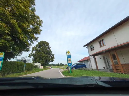
Wirtshaus Taglaching
Restaurant · Regional · 3.2 km
2 Oberdorf, Bruck
Mo, Th 17:00-22:00; Fr-Su 11:30-22:00
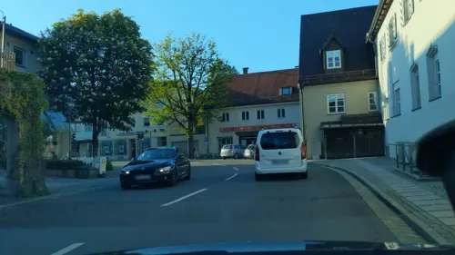
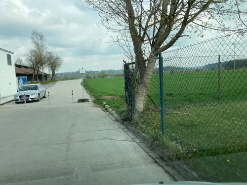
Aquarium
Restaurant · Italian · 0.6 km
9 Am Stadion, Grafing bei München
Mo, Tu, Th-Su 11:30-14:30, 17:00-23:00
Asia Gourmet
Restaurant · Asian
7 Marktplatz, Grafing bei München
Mo-Fr 11:30-15:00, 17:00-21:00; Su,PH 17:00-21:00
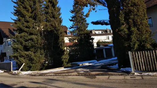
Basilico
Restaurant · Italian
3 Bahnhofsplatz, Grafing bei München
Tu-Su 11:30-14:30,17:00-22:00; Mo closed
Café Schwaiger
Cafe · Coffee Shop, Regional · 3.6 km
8 Marienplatz, Ebersberg
Mo-Fr 08:30-18:00; Sa-Su 07:30-18:00
Canapee
Restaurant · Italian, Pizza
5 Münchener Straße, Grafing bei München
Tu-Su 11:30-14:00, 17:00-22:00
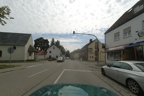


Cheed's authentic thai kitchen
Restaurant · Thai
15 Münchener Straße, Grafing bei München
Mo-Fr 11:30-14:30,17:00-20:00; Sa 11:30-14:30; PH,Su off
69 more on the map.
History
The town, founded about 960 as Gisling, belonged to the Munich Rentamt and the Swabian legal district in the Electorate of Bavaria. During the Thirty Years' War, Grafing was looted and set on fire by Swedish troops in 1632. Only the castle Elkofen, so the legend, was overlooked by Swedish troops.
In the course of administrative reform in the Bavarian kingdom, the Grafing municipality was established by the royal 1818 community edict. The neighbouring village of Oexing was incorporated into Grafing on 1 August 1933, after the two settlements had grown together over the decades. Several polls were held, until the citizens chose to assume the name Grafing. All that nowadays remains to recall the former two localities are the two parish churches, one in Grafing proper and the other one in former Oexing and the local ice hockey team, Oexing Killers.
Grafing moreover was home to a market court with far-reaching judicial autonomy. In 1953 the united municipality received town privileges, and with regional reform in 1978, the former communities of Elkofen, Nettelkofen and Straußdorf were merged into it.
From the History section of Grafing on Wikipedia, under CC BY-SA 4.0.
Where to stay6
Churches and places of worship30
Seventh-Day-Adventist Church of Grafing
Church · Seventh Day Adventist
9 Tegernauer Straße, Grafing b. München
Heiligste Dreifaltigkeit
Church · Roman Catholic
10 Marktplatz, Grafing bei München
St. Johannes der Täufer
Church · Roman Catholic · 3.1 km
4 Grafinger Straße, Grafing bei München
Shopping25
Gas and EV charging6
Schools, colleges and libraries20
Healthcare9
MVZ Klinikum Ebersberg München Ost
Clinic and pharmacy · 3.5 km
3 Pfarrer-Guggetzer-Straße, Ebersberg
Map of Grafing bei München
241 places. The map loads OpenStreetMap tiles when you open it.
Getting there and nearby towns
Munich International Airport (MUC) is the nearest airport with scheduled flights listed in OpenStreetMap, 37 km away.
- Vaterstetten 16 km northwest, about 16 min by car
- Markt Schwaben 18 km northwest, about 18 min by car
- Poing 18 km northwest, about 18 min by car
- Haar 19 km west, about 19 min by car
- Wasserburg am Inn 19 km east, about 19 min by car
- Kolbermoor 23 km south, about 23 min by car
- Neubiberg 23 km west, about 23 min by car
- Rosenheim 24 km southeast, about 24 min by car
- Unterhaching 26 km west, about 26 min by car
- Munich 31 km west, about 31 min by car
Drive times are estimates from straight-line distance, not routes.
Local news
Headlines from INDB.
Reviews, tips and questions
Loading what members have shared...
Sources and licences
- GeoNames (CC BY 4.0): population, coordinates, regions and time zone
- Mapillary (see each image): photos
- OpenStreetMap contributors (ODbL 1.0): places, airports, map data
- Wikidata (CC0 1.0): elevation, founding date, time zone, website
- Wikimedia Commons (see each image): photos
- Wikipedia (CC BY-SA 4.0): overview and history text
Photo credits
- Grafing - Marktplatz - geo-en.hlipp.de - 12869, Hubert Fr?ch, CC BY-SA 2.0
- Kriegerdenkmal St. Ägidius (Grafing bei München) 01, Wikitarisch, CC BY 4.0
- Eingang Unterkirche St. Ägidius (Grafing bei München), Wikitarisch, CC BY 4.0
- Kriegerdenkmal St. Ägidius (Grafing bei München) 03, Wikitarisch, CC BY 4.0
- Kriegerdenkmal St. Ägidius (Grafing bei München) 02, Wikitarisch, CC BY 4.0
- Kriegerdenkmal St. Ägidius (Grafing bei München) 05, Wikitarisch, CC BY 4.0
- Ägidius Säule in Grafing bei München, Martinluck97, CC BY-SA 4.0
- Tafel Eingang St. Ägidius (Grafing bei München) 01, Wikitarisch, CC BY 4.0
- Tafel Eingang St. Ägidius (Grafing bei München) 02, Wikitarisch, CC BY 4.0
- Kriegerdenkmal St. Ägidius (Grafing bei München) 04, Wikitarisch, CC BY 4.0
- Burg Elkofen-9, Gras-Ober, CC BY-SA 3.0
- St. Sebastian (Ebersberg) Innenansicht, 2023-09-10, 2015 Michael 2015, CC BY-SA 4.0
- Hochbau des Gymnasium Grafing, Martin Luck, CC BY-SA 4.0
- Jagerhäusl am Museum Wald und Umwelt, Ebersberg, Wokowiki, CC BY-SA 4.0
- St. Georg Taglaching, Edelmauswaldgeist, CC0
- Marktplatz10 Grafing-01, AHert, CC BY-SA 3.0
- Straussdorf Kirche-01, AHert, CC BY-SA 3.0
- Aussichtsturm Ludwigshoehe Ebersberg-1, Rufus46, CC BY-SA 4.0
- OberndorfKapelle Ebersberg-01, AHert, CC BY-SA 3.0
- OberndorfKirche Ebersberg-01, AHert, CC BY-SA 3.0
- TraxlKirche Ebersberg-01, AHert, CC BY-SA 3.0
- AltesKinoEbersberg01, AHert, CC BY-SA 3.0
- Grafing, Stadtmuseum v SSO, 1, Renardo la vulpo, CC BY-SA 4.0
- Ebersberg, Heilig-Geist-Kirche v S, 2, Renardo la vulpo, CC0
- Marktplatz2 Grafing-01, AHert, CC BY-SA 3.0
- Egglburgsee1, Sky and Byrds, CC BY-SA 4.0
- Burgstall Gasteig, Königreich Bayern, Public domain
- Grafing (bei München), Marktkirche Heiligste Dreifaltigkeit (1), Cmcmcm1, CC BY-SA 4.0
- St. Ägidius Grafing, H.Helmlechner, CC BY-SA 4.0
- Münchner Straße 2, Grafing, H.Helmlechner, CC BY-SA 4.0
- Kirchseeoner Perchtenlauf 2023-2024 in Grafing - Frau Percht mit Teufels- und Sonnengesicht, Ursula Jaeger, CC BY-SA 4.0
- Kirchseeoner Perchtenlauf 2023-2024 in Grafing - Frau Percht mit Teufels- und Sonnengesicht zugeschnitten, Ursula Jaeger, CC BY-SA 4.0
- Kirchseeoner Perchtenlauf 2023-2024 in Grafing - Holzmandl Schweck zugeschnitten, Ursula Jaeger, CC BY-SA 4.0
- Kirchseeoner Perchtenlauf 2023-2024 in Grafing - Maske vom Schweck, Ursula Jaeger, CC BY-SA 4.0
- Kirchseeoner Perchtenlauf 2023-2024 in Grafing - Maske Aumandl zugeschnitten, Ursula Jaeger, CC BY-SA 4.0
- Kirchseeoner Perchtenlauf 2023-2024 in Grafing - Maske vom Zuzler, Ursula Jaeger, CC BY-SA 4.0
- Marktkirche Grafing 2, Ricardalovesmonuments, CC BY-SA 4.0
- Marktkirche Grafing 6, Ricardalovesmonuments, CC BY-SA 4.0
- Marktkirche Grafing 1, Ricardalovesmonuments, CC BY-SA 4.0
- Marktkirche Grafing 5, Ricardalovesmonuments, CC BY-SA 4.0
- EBE, Ludwigshöhe, Gebäude (Hochspeicher¿), 1, Renardo la vulpo, CC0
- Lindenallee (Heldenallee), jede ihrer über 80 Linden erinnert an einen Gefallenen des I. Weltkriegs aus Ebersberg (2), W-R-Hesse-Fotos, CC BY-SA 4.0
- Street-level photo, institutverkehr, CC BY-SA 4.0
- Street-level photo, soulcover, CC BY-SA 4.0
- Street-level photo, kietob, CC BY-SA 4.0
- Street-level photo, institutverkehr, CC BY-SA 4.0
- Street-level photo, institutverkehr, CC BY-SA 4.0
- Street-level photo, wegatest, CC BY-SA 4.0
- Street-level photo, umap, CC BY-SA 4.0
- Street-level photo, umap, CC BY-SA 4.0
- Street-level photo, cheabit, CC BY-SA 4.0
- Street-level photo, umap, CC BY-SA 4.0
- Street-level photo, institutverkehr, CC BY-SA 4.0
- Street-level photo, biffe, CC BY-SA 4.0
- Street-level photo, umap, CC BY-SA 4.0
- Street-level photo, institutverkehr, CC BY-SA 4.0
- Street-level photo, institutverkehr, CC BY-SA 4.0
- Street-level photo, institutverkehr, CC BY-SA 4.0
- Street-level photo, cheabit, CC BY-SA 4.0
- Street-level photo, kietob, CC BY-SA 4.0
- Street-level photo, umap, CC BY-SA 4.0
- Street-level photo, kietob, CC BY-SA 4.0
- Street-level photo, umap, CC BY-SA 4.0
- Street-level photo, kietob, CC BY-SA 4.0
- Street-level photo, institutverkehr, CC BY-SA 4.0


Page built November 8, 2026. Spotted a mistake? Tell us or suggest a place.