


Kolbermoor, Germany
Kolbermoor is a town of 17,941 people in Bavaria, Germany, founded in 1859.
Why visit Kolbermoor
Townapedia lists 33 museums and landmarks, 25 parks and trails, 180 places to eat, 18 places to stay and 11 attractions in and around town.
Highlights include Biohof Schlarb, Bioland-Gärtnerei Kunterbunt, Galerie Villa Maria and Heimat- und Industriemuseum.
Weather in Kolbermoor
Forecast from MET Norway (CC BY 4.0). Full forecast
About Kolbermoor
Kolbermoor (German pronunciation: [ˈkɔlbɐmoːɐ̯] ) is a town in the district of Rosenheim, in Bavaria, Germany.
From the Wikipedia article Kolbermoor (this version), under CC BY-SA 4.0.
Things to do11

Biohof Schlarb
Farm and orchard · 2.5 km
1a Dr.-Thann-Straße, Kolbermoor
Tu,Fr 09:00-12:00,14:00-18:00; PH off
Bioland-Gärtnerei Kunterbunt
Farm and orchard · 3.5 km
4 Josef-Baumann-Straße, Großkarolinenfeld
May-Oct: Fr 09:00-16:00; Nov-Apr: Fr 10:30-16:00
Hubers Hühnernest
Farm and orchard · 3.4 km
Selbstbedienung, Frische Bio-Eier aus Freilandhaltung & regional, Eiernudeln, Milch, Joghurt, Käse von Bauernhof-Kooperation,...
31 Am Wasen, Rosenheim
24/7
Brotverkauf Albert-Link-Hütte Schliersee
Farm and orchard · 3.8 km
Brotverkaufsstand der Albert-Link-Hütte Schliersee
Tu 10:00-18:00; Th-Sa 10:00-18:00; Su 09:00-17:00
Freiland Eier vom Mayr
Farm and orchard · 3.4 km
Frische Eier aus Freilandhaltung, Eiernudeln, Suppenhühner, Kartoffeln, Mehl, Marmeladen, Äpfel.
15 Am Wasen, Rosenheim
Freiland Eier
Farm and orchard · 4.0 km
Frische Eier aus Freilandhaltung, Eierlikör, Eiernudeln, Suppenhühner.
2 Esterfeld, Rosenheim
Panger Eierladen
Farm and orchard · 3.4 km
Frische Eier aus Freilandhaltung, Eierlikör, Eiernudeln, Suppenhühner.
1 Dorfstraße, Rosenheim


Museums and landmarks33

Galerie Villa Maria
Museum · 4.1 km
43 Rosenheimer Straße, Bad Aibling
Fr 16:00-20:00, Sa 14:00-20:00, Su 14:00-18:00

Technisches Museum BGS
Museum · 3.0 km
9 Kapellenweg, Rosenheim
Sa[1] 10:00-13:30 ||"by appointment"; Nov-Apr off


Landwirtschaftsamt
Monument and historic site · 4.0 km
39 Prinzregentenstraße, Rosenheim


Schloss Pullach
Monument and historic site · 4.1 km
9 Am Schlosspark, Kolbermoor

Villa Edelweiß
Monument and historic site · 4.2 km
48 Heilig-Geist-Straße, Rosenheim

Villa Scanzoni
Monument and historic site · 4.2 km
26 Prinzregentenstraße, Rosenheim
21 more on the map.
Parks, trails and playgrounds25

Evi Gampl Gartenbau
Park · 3.6 km
4 Zeller Weg, Bad Aibling
Mo-Fr 08:00-16:00; Sa 08:00-13:00; Dec-Feb off; PH off






Am Graben
Playground · 0.8 km
Mar Su[-1]-Oct Su[-1] -1 day Mo-Su,PH 08:00-20:00, Oct Su[-1]-Mar...
Beachclub
Sports field and stadium · 2.6 km
Jun-Aug Th,Fr 16:00-20:00, Jun-Aug Sa,Su,PH 14:00-20:00
13 more on the map.
Restaurants and cafes180

Felice - Trattoria Pizzeria
Restaurant · Pizza, Italian · 3.9 km
Das Lokal "La Famiglia" (Eröffnung 12.06.2023) hat zum 21.12.2025 geschlossen - seit 06.01.2026 ist dort nun "Felice" (vorher...
18z Klepperstraße, Rosenheim
We-Su 11:00-14:00,17:00-22:00
Pomodoro - Cucina Siciliana
Restaurant · Pizza, Italian · 3.3 km
Das Lokal "Bistro Felice" ist umgezogen: Seit 06.01.2026 Klepperstraße 18z, RO / OSM-node 11327869822). Öffnungszeiten "neuer Name" lt....
7 Schießstattstraße, Rosenheim
Tu-Su 11:00-14:00,17:00-22:00
Die Kunstmühle X Chiara e Francesco
Restaurant · Italian · 3.4 km
12a Kunstmühlstraße, Rosenheim
We-Fr 09:00-14:30,17:30-22:00; Sa-Su 09:00-22:00
Enchilada
Restaurant · Mexican · 4.0 km
18 Schmettererstraße, Rosenheim
Su-Th 17:00-23:00; Fr 07:00-01:00; Sa 13:00-01:00
Giuseppe e amici
Restaurant · Italian
1 An der Alten Spinnerei, Kolbermoor
Mo-Sa 11:30-15:00, 18:00-23:30; Su 11:30-00:00
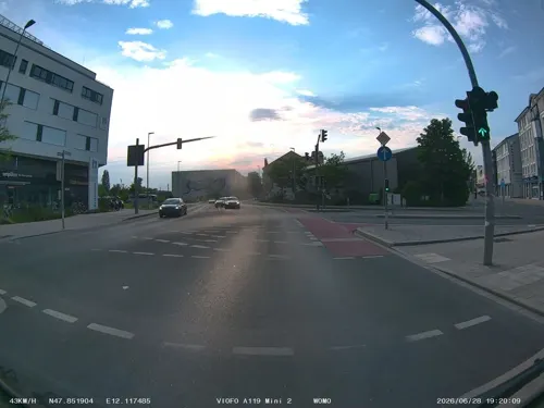
Jadevie Cuisine
Restaurant · Asian, Sushi · 3.8 km
74 Münchener Straße, Rosenheim
Tu-Su 11:30-14:30, 17:00-23:00
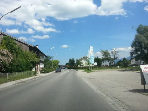
Kirchenwirt Pang
Restaurant · Regional · 3.5 km
25 Panger Straße, Rosenheim
Tu-Th 11:00-23:00, Fr-Su,PH 10:00-23:00; Mo off
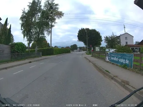
Landgasthof zum Erdinger Weißbräu
Restaurant · German, Bavarian · 3.8 km
101 Aisinger Straße, Rosenheim
Mo-Su 10:00-23:00; We off
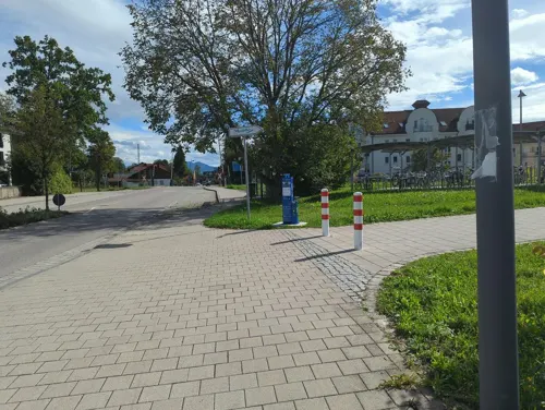


Ratschiller's
Cafe · Coffee Shop · 4.0 km
59a Rosenheimer Straße, Bad Aibling
Mo-Fr 06:00-18:00; Sa 06:00-17:00; Su,PH 07:00-17:00
168 more on the map.
Where to stay18
Churches and places of worship37
Christkönig
Church · Roman Catholic · 3.6 km
8 Kardinal-Faulhaber-Platz, Rosenheim
Mariä Himmelfahrt
Church · Roman Catholic · 3.5 km
1 Grünthalweg, Rosenheim
Roßacker-Kapelle
Church · Roman Catholic · 4.1 km
5 Am Roßacker, Rosenheim
St. Johann Baptist - Heilig Kreuz
Church · Roman Catholic · 3.1 km
70 Am Wasen, Rosenheim
St.Stephan
Church · Roman Catholic · 3.8 km
79 Aisinger Straße, Rosenheim
Shopping54
Gas and EV charging19
Schools, colleges and libraries28
Healthcare19
Reha-Zentrum Bad Aibling Klinik Wendelstein
Clinic and pharmacy · 3.2 km
56 Kolbermoorer Straße, Bad Aibling
OPTYMED Apotheke im Kaufland
Clinic and pharmacy · 1.8 km
100 Äußere Münchener Straße, Rosenheim
Map of Kolbermoor
250 places. The map loads OpenStreetMap tiles when you open it.
Getting there and nearby towns
Munich International Airport (MUC) is the nearest airport with scheduled flights listed in OpenStreetMap, 60 km away.
- Rosenheim 4 km east, about 4 min by car
- Raubling 7 km southeast, about 7 min by car
- Miesbach 19 km west, about 19 min by car
- Prien am Chiemsee 21 km east, about 21 min by car
- Wasserburg am Inn 25 km northeast, about 25 min by car
- Vaterstetten 36 km northwest, about 36 min by car
- Taufkirchen 40 km northwest, about 40 min by car
- Neubiberg 40 km northwest, about 40 min by car
- Traunreut 41 km east, about 41 min by car
- Munich 49 km northwest, about 49 min by car
Drive times are estimates from straight-line distance, not routes.
Local news
Headlines from INDB.
Reviews, tips and questions
Loading what members have shared...
Sources and licences
- GeoNames (CC BY 4.0): population, coordinates, regions and time zone
- Mapillary (see each image): photos
- OpenStreetMap contributors (ODbL 1.0): places, airports, map data
- Wikidata (CC0 1.0): elevation, founding date, time zone, website, landmarks and historic places
- Wikimedia Commons (see each image): photos
- Wikipedia (CC BY-SA 4.0): overview and history text
Photo credits
- Neues Rathaus Kolbermoor, Tahoua, CC BY-SA 3.0
- Werksiedlung der ehemaligen Baumwollspinnerei Kolbermoor, Tahoua, CC0
- Bahnhof Kolbermoor, 1, Aisano, CC0
- Altes Rathaus Kolbermoor im Jahr 2023, Tahoua, CC BY-SA 4.0
- Kolbermoor, Dreifaltigkeitskirche, 12, Aisano, CC BY-SA 3.0
- Bahnhof Kolbermoor, Notfalltechnikzug der DB Netze, 1, Aisano, CC BY-SA 3.0
- Kolbermoor, Dreifaltigkeitskirche, 13, Aisano, CC BY-SA 3.0
- Mangfallkanal in Kolbermoor, 1, Aisano, CC BY-SA 3.0
- Kolbermoor, AdbK, 1, Aisano, CC0
- Kolbermoor, Brothaus, 1, Aisano, CC0
- Spinnerei-Neubau in Kolbermoor, Ostseite, 4, Aisano, CC BY-SA 3.0
- Kolbermoor, Bahnübergang an der Aiblinger Straße, 1, Aisano, CC0
- Stolperstein für Mathias Stich (Kolbermoor), BariumFiasko, CC BY-SA 4.0
- Der Fluss Mangfall in Kolbermoor, Tahoua, CC BY-SA 4.0
- Kolbermoor, Vogel als Schmuck eines Papierkorbhalters, 1, Unknown author Unknown author, CC0
- Schloss Pullach Kolbermoor-2, Rufus46, CC BY-SA 3.0
- 1 Walfahrtskirche in Westerndorf-Rosenheim, W. Bulach, CC BY-SA 4.0
- Ignaz-Guenther-Gymnasium-Rosenheim 5, Hg6996, CC BY-SA 3.0
- Bad Aibling, Christuskirche, 1, Aisano, CC BY-SA 3.0
- Theresienmonument Bad Aibling-3, Rufus46, CC BY-SA 3.0
- Rosenheimer Str. 43 Bad Aibling-1, Rufus46, CC BY-SA 3.0
- Rainerstr. Hl. Dreifaltigkeit Kolbermoor-7, rufus46, CC BY-SA 3.0
- Rosenheim-Rossackerkapelle-1, Rufus46, CC BY-SA 3.0
- Heilig-Geist-Str. 44 Rosenheim-1, Rufus46, CC BY-SA 3.0
- Heilig-Geist-Str. 48 Rosenheim-1, Rufus46, CC BY-SA 3.0
- Christkoenigkirche Rosenheim-2, Rufus46, CC BY-SA 3.0
- GER Rosenheim, Münchener Straße 0021, -wuppertaler, CC BY 4.0
- Prinzregentenstr. 26 Rosenheim-1, Rufus46, CC BY-SA 3.0
- Prinzregentenstr. 39 Rosenheim-1, Rufus46, CC BY-SA 3.0
- Aising, Stephanskirche von Süden, 3, Renardo la vulpo, CC BY-SA 4.0
- Fürstätt, Kirche Rosenkranzkönigin, 1, Renardo la vulpo, CC BY-SA 4.0
- Fürstätt, Quirinskirche, 1, Renardo la vulpo, CC BY-SA 4.0
- Mariae Himmelfahrt Pang Rosenheim-1, Rufus46, CC BY-SA 3.0
- Apostelkirche Herderstr. Rosenheim-4, Rufus46, CC BY-SA 3.0
- Versoehnungskirche Severinstr. Rosenheim-4, Rufus46, CC BY-SA 3.0
- Luitpoldpark Rosenheim-10, Rufus46, CC BY-SA 4.0
- Salingarten Rosenheim-5, Rufus46, CC BY-SA 3.0
- Hohenzollernpark Rosenheim-8, Rufus46, CC BY-SA 4.0
- NSG Kalten Kolbermoor-1, Rufus46, CC BY-SA 3.0
- Westerndorf, Gerhard Piezinger, CC BY-SA 3.0
- Street-level photo, springer55, CC BY-SA 4.0
- Street-level photo, maturion, CC BY-SA 4.0
- Street-level photo, omba, CC BY-SA 4.0
- Street-level photo, omba, CC BY-SA 4.0
- Street-level photo, stefanro74, CC BY-SA 4.0
- Street-level photo, wegavision, CC BY-SA 4.0
- Street-level photo, soulcover, CC BY-SA 4.0
- Street-level photo, soulcover, CC BY-SA 4.0
- Street-level photo, ente, CC BY-SA 4.0
- Street-level photo, stefanro74, CC BY-SA 4.0
- Street-level photo, omba, CC BY-SA 4.0
- Street-level photo, soulcover, CC BY-SA 4.0
- Street-level photo, maturion, CC BY-SA 4.0
- Street-level photo, xanu, CC BY-SA 4.0


Page built November 8, 2026. Spotted a mistake? Tell us or suggest a place.