


Why visit Vaterstetten
Townapedia lists 19 museums and landmarks, 28 parks and trails, 168 places to eat, 27 places to stay and 13 attractions in and around town.
Highlights include Haarer Kinos, Habeker Hof, Haus der Donauschwaben and Psychiatriemuseum.
Weather in Vaterstetten
Forecast from MET Norway (CC BY 4.0). Full forecast
About Vaterstetten
Vaterstetten (German pronunciation: [faːtɐˈʃtɛtn̩] ) is a municipality in the Upper Bavarian district of Ebersberg. It lies east of Munich and is the district's biggest community. Vaterstetten is on the outskirts of Munich, roughly twenty minutes by S-Bahn from Marienplatz.
From the Wikipedia article Vaterstetten (this version), under CC BY-SA 4.0.
Things to do13
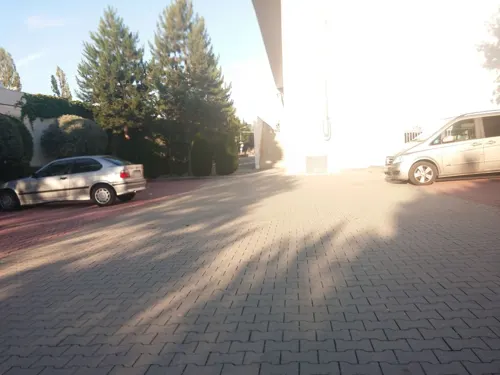





Aussichtsturm
Scenic view · 5.0 km
Aussichtsturm mit Western-Windmühle (Westernmill) über der Aussichtsplattform
1 more on the map.
Museums and landmarks19



Mahnmal für die Opfer der nationalsozialistischen Euthanasie
Monument and historic site · 2.1 km


7 more on the map.
Parks, trails and playgrounds28



Leichtathletik-Stadion Vaterstetten
Sports field and stadium · 1.2 km
100 Baldhamer Straße, Vaterstetten

16 more on the map.
Restaurants and cafes168
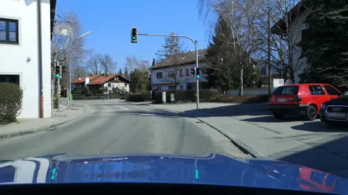
Al Borgo
Restaurant · Italian · 4.3 km
6 Dorfplatz, Parsdorf
Mo,Th-Sa 11:30-15:00, Mo,We-Sa 18:00-22:00, Su,PH 11:30-23:30; Tu off


Gasthof Gut Keferloh
Bar and pub · Bavarian · 3.2 km
2 Im Keferloh, Grasbrunn
Sa 16:00-22:00; Su 12:00-22:00; Mo- Fr off
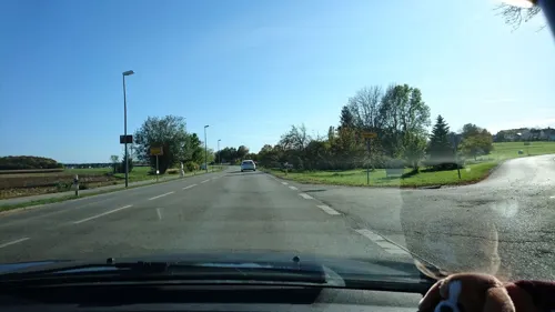
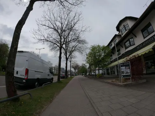
Truderinger Waldwirtschaft
Restaurant · Regional · 4.3 km
272 Wasserburger Landstraße, München
Mo-Su 11:00-21:00
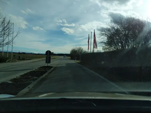
AMICI Haar
Restaurant · Italian · 2.4 km
5 Casinostraße, Haar
Tu-Fr, Su 11:30-14:30, 18:00-23:00; Sa 18:00-23:00; Mo off
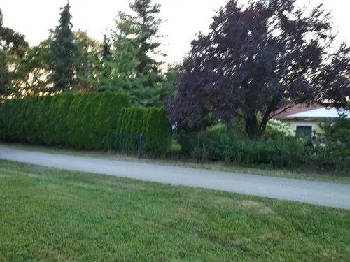
Almgrill im Hotel Erb
Restaurant · Regional, Burger, International, German · 4.4 km
1 Posthalterring, Vaterstetten
Mo-Su 18:00-22:00
Alte Posthalterei
Restaurant · Bavarian, German · 4.7 km
9 Anton-Grandauer-Straße, Zorneding
We-Su 12:00-14:30, 17:30-20:00


Anh's Viet
Restaurant · Vietnamese · 4.9 km
2 Hermann-Oberth-Straße, Putzbrunn
Mo-Fr 11:30-14:30, Mo-Th 17:30-21:30, PH,Fr,Sa 17:30-22:00; Su off
156 more on the map.
History
Because of being on the border of the sandur of Munich, an early settlement in the southern part of today's community area is unlikely, because the tillage was disadvantaged here compared to the northern part. Consequently, the oldest town of the community is Purfing, where a settlement from the period between 750 and 600 BC was found.
Until 1056 the district of Weißenfeld (Wizzinvelt) was in the possession of the Holy Roman Emperor Henry III as a Reichsgut. The fact he instructed his wife about negotiations over his ownership on these lands on his deathbed in the year 1056, shows how significant they must have been for him.
It was here in the summer of 1800 that the Parsdorf Ceasefire was signed by Major General Franz Joseph of Dietrichstein and General Jean Victor Moreau, which later came to an end with the Battle of Hohenlinden. In 1818, when there was the Royal Bavarian territorial reform, the community of Parsdorf was founded and it replaced the former "Steuerdistricts". The administrative seat of the community was transferred to Parsdorf probably because of its important coaching inn.
An increase of the population of the community began with the connection to the rail network in 1871.
In 1913 physicist and philosopher Ernst Mach settled in Vaterstetten, where he died 1916.
From the History section of Vaterstetten on Wikipedia, under CC BY-SA 4.0.
Where to stay27
Churches and places of worship38
Shopping56
Gas and EV charging17
Ladestation 175kW 3xCCS
EV charging · 4.6 km
22 Otto-Lilienthal-Ring, Feldkirchen
Schools, colleges and libraries25
Healthcare12
Antonius Apotheke
Clinic and pharmacy
8 Johann-Sebastian-Bach-Straße, Vaterstetten
Widder-Apotheke
Clinic and pharmacy · 4.8 km
226 Wasserburger Landstraße, München
Map of Vaterstetten
250 places. The map loads OpenStreetMap tiles when you open it.
Getting there and nearby towns
Munich International Airport (MUC) is the nearest airport with scheduled flights listed in OpenStreetMap, 28 km away.
- Munich 15 km west, about 15 min by car
- Unterschleißheim 24 km northwest, about 24 min by car
- Wolfratshausen 34 km southwest, about 34 min by car
- Wasserburg am Inn 34 km east, about 34 min by car
- Waldkraiburg 48 km east, about 48 min by car
- Weilheim 54 km southwest, about 54 min by car
- Wolnzach 56 km north, about 56 min by car
- Vilsbiburg 58 km northeast, about 58 min by car
- Augsburg 71 km northwest, about 1 h 15 min by car
- Ingolstadt 78 km north, about 1 h 15 min by car
Drive times are estimates from straight-line distance, not routes.
Local news
Headlines from INDB.
Reviews, tips and questions
Loading what members have shared...
Sources and licences
- GeoNames (CC BY 4.0): population, coordinates, regions and time zone
- Mapillary (see each image): photos
- OpenStreetMap contributors (ODbL 1.0): places, airports, map data
- Wikidata (CC0 1.0): elevation, founding date, time zone, website, landmarks and historic places
- Wikimedia Commons (see each image): photos
- Wikipedia (CC BY-SA 4.0): overview and history text
Photo credits
- Vaterstetten, Rathaus v SO, 1, Renardo la vulpo, CC0
- Vaterstetten, Blutkirche v N, 1, Renardo la vulpo, CC BY-SA 4.0
- Bücherschrank Vaterstetten, Leon Oettl, CC BY 3.0
- Vaterstetten- Rathaus - geo.hlipp.de - 20049, Hubert F on geo.hlipp.de, CC BY-SA 2.0
- Vaterstetten, Blutkirche v O, 2, Renardo la vulpo, CC BY-SA 4.0
- Vaterstetten- Parkhaus am S-Bahnhof - geo.hlipp.de - 20050, Hubert F on geo.hlipp.de, CC BY-SA 2.0
- Bahnhof Vaterstetten (ca. 1910), Unknown author Unknown author, Public domain
- GER — BY — Lkr. München — Vaterstetten — Luitpoldring 12, User:Mateus2019, CC BY 2.0 de
- Vaterstettener municipal building, Nmndlr, CC BY-SA 4.0
- Gemeindefriedhof Vaterstetten, Alte Aussegnungshalle 2025-02-22 01, Felix Edelmann, CC0
- Gemeindefriedhof Vaterstetten, Alte Aussegnungshalle 2025-02-22 02, Felix Edelmann, CC0
- RiemerParkVomBugaHuegelAus, Gentlesea, CC BY-SA 4.0
- Humboldt-Gymnasium Vaterstetten in Baldham bei München 2013-04-28 12-45, User:Klinglton358, CC BY-SA 3.0
- Ernst-Mach-Gymnasium Haar bei München, 2014, Deltastrahlung, CC BY-SA 4.0
- Gebäude der Gemeindebücherei Vaterstetten 05, Flo2154, CC0
- Kapelle Solalinden Putzbrunn-1, Rufus46, CC BY-SA 3.0
- Kirche Vaterstetten-01, AHert, CC BY-SA 3.0
- Baldham-Dorf Kirche Vaterstetten-01, AHert, CC BY-SA 3.0
- ParsdorfKirche Vaterstetten-01, AHert, CC BY-SA 3.0
- WeißenfeldKirche Vaterstetten-01, AHert, CC BY-SA 3.0
- Kirche Zorneding-01, AHert, CC BY-SA 3.0
- 8. Mai 2020 – Gedenkstätte für die Opfer der »Euthanasie« Haar – Behütet die Kinder, no bias — קיין אומוויסנדיקע פּרעפֿערענצן — keyn umvisndike preferentsn, CC BY-SA 4.0
- Wegkapelle Haar, Imalipusram, CC BY-SA 3.0
- Christophoruskirche Zorneding, Edelmauswaldgeist, CC0
- Blick auf den Habeker Hof in Haar in Richtung Eingang 2022-10-10, Strubbl, CC BY-SA 4.0
- Jesuskirche Haar 3, Edelmauswaldgeist, CC0
- Baldham, Maria Königin (Außenansicht) (2), Cmcmcm1, CC BY-SA 4.0
- Baldham Petrikirche 2023-07-31 01, Felix Edelmann, CC0
- St. Bonifatius Haar bei Muenchen-6, Rufus46, CC BY-SA 4.0
- Uta-Brunnen Munich, Truchtaro, Public domain
- Eustachiusstein, Septimus848, CC BY-SA 4.0
- München, Adlerstr., Häherweg, Spielplatz, MrTux, CC BY 4.0
- Riemer Park Luftbild, HardDisk, CC BY-SA 4.0
- Kapelle Solalinden Putzbrunn-2, Rufus46, CC BY-SA 3.0
- Gemeindebücherei Zorneding im Frühling 2024, Nickx1511, CC0
- Baldham, St. Korbinian (2), Cmcmcm1, CC BY-SA 4.0
- Arum cylindraceum, Abcr-vat, CC BY-SA 4.0
- EC 83 DB - ÖBB EuroCity - München - Jenbach (44685631092), Dining Car from Wien, CC BY-SA 2.0
- EC 83 DB - ÖBB EuroCity - München - Jenbach (44016988404), Dining Car from Wien, CC BY-SA 2.0
- EC 83 DB - ÖBB EuroCity - München - Jenbach (29798261157), Dining Car from Wien, CC BY-SA 2.0
- Aussichtsturm Gronsdorf, Muck, CC BY-SA 4.0
- Haar — Vockestrasse 76 (Psychiatriemuseum) — Medikamentenschachteln, User:Mattes, CC BY 2.0 de
- Street-level photo, umap, CC BY-SA 4.0
- Street-level photo, strubbl, CC BY-SA 4.0
- Street-level photo, skiloo, CC BY-SA 4.0
- Street-level photo, skiloo, CC BY-SA 4.0
- Street-level photo, toaskoas, CC BY-SA 4.0
- Street-level photo, strubbl, CC BY-SA 4.0
- Street-level photo, umap, CC BY-SA 4.0
- Street-level photo, umap, CC BY-SA 4.0
- Street-level photo, umap, CC BY-SA 4.0
- Street-level photo, umap, CC BY-SA 4.0
- Street-level photo, umap, CC BY-SA 4.0
- Street-level photo, umap, CC BY-SA 4.0
- Street-level photo, skiloo, CC BY-SA 4.0
- Street-level photo, umap, CC BY-SA 4.0
- Street-level photo, ente, CC BY-SA 4.0
- Street-level photo, chri_som, CC BY-SA 4.0
- Street-level photo, tonicity, CC BY-SA 4.0
- Street-level photo, strubbl, CC BY-SA 4.0
- Street-level photo, santon, CC BY-SA 4.0
- Street-level photo, umap, CC BY-SA 4.0
- Street-level photo, umap, CC BY-SA 4.0
- Street-level photo, strubbl, CC BY-SA 4.0
- Street-level photo, flo2154, CC BY-SA 4.0
- Street-level photo, robot8a, CC BY-SA 4.0
- Street-level photo, toaskoas, CC BY-SA 4.0


Page built November 8, 2026. Spotted a mistake? Tell us or suggest a place.