


Why visit Gruiten
Townapedia lists 13 museums and landmarks, 20 parks and trails, 23 places to eat, 1 place to stay and 2 attractions in and around town.
Highlights include Haus Am Quall, Alter Kirchturm and Selbsternte-Garten GartenLust.
Weather in Gruiten
Forecast from MET Norway (CC BY 4.0). Full forecast
About Gruiten
Gruiten (German pronunciation: [ˈɡʁyːtn̩]) is a historical village in North Rhine-Westphalia, Germany. Since 1975 it has been part of the town Haan. The village is located on the river Düssel, between Wuppertal and Düsseldorf.
From the Wikipedia article Gruiten (this version), under CC BY-SA 4.0.
Things to do2

Hofladen Ellscheid
Farm and orchard · 1.9 km
Mo, We 16:00-18:30; Fr 10:00-12:00,16:00-18:30; Sa 10:00-12:00; Tu, Su off

Museums and landmarks13


Alter Kirchturm
Monument and historic site · 1.0 km
Mettmanner Straße, Haan

Kleine Feldhofer Grotte
Monument and historic site · 4.7 km
Former cave and archaeological site in Neandertal, Germany

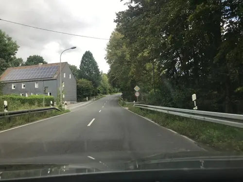
Artenschutzturm "Elp"
Monument and historic site · 1.5 km
Ehemalige Transformatorenstation "Elp 1"


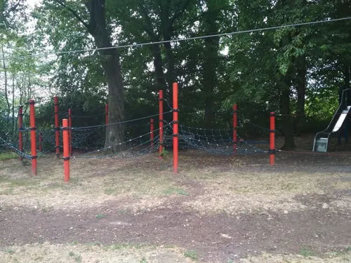
1 more on the map.
Parks, trails and playgrounds20
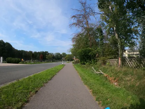




8 more on the map.
Restaurants and cafes23
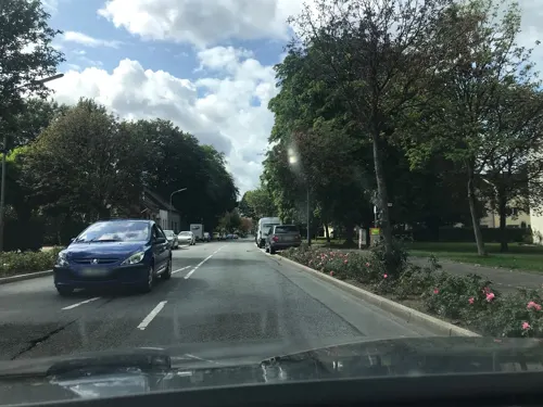
Hotel im Park
Restaurant · International · 2.1 km
28 Nordstraße, Haan
Mo-Sa 17:30-21:30; Th off; Su 11:30-14:30,17:30-20:30

Gut Hahn
Restaurant · International · 1.9 km
13-15 Rheinische Straße, Haan
We-Fr 17:00-23:00; Sa 12:00-23:00; Su 12:00-21:00
Restaurant Mylos
Restaurant · Greek · 0.8 km
31 Vohwinkeler Straße, Haan
Tu-Fr 17:30-22:30; Sa 11:30-14:30,17:30-22:00; Su 11:30-22:00
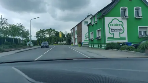

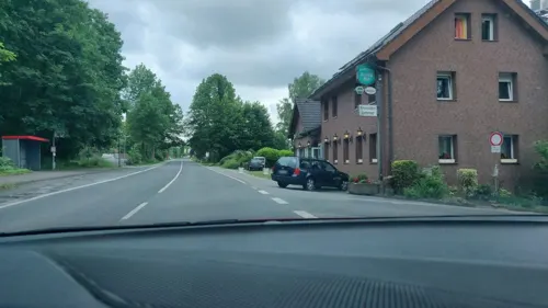
Haaner Hof
Restaurant · 1.9 km
239 Elberfelder Straße, Haan
Mo-Tu,Fr-Sa 12:00-14:30,17:30-22:30; Th 17:30-22:30; PH,Su 12:00-22:30



Weihrauch
Bakery · 2.4 km
10a Nordstraße, Haan
Tu-Sa 06:30-17:00; Su 08:00-17:00
11 more on the map.
Where to stay1
Churches and places of worship5
Shopping9
Gas and EV charging4
Schools, colleges and libraries3
Healthcare2
Map of Gruiten
82 places. The map loads OpenStreetMap tiles when you open it.
Getting there and nearby towns
Düsseldorf Airport (DUS) is the nearest airport with scheduled flights listed in OpenStreetMap, 19 km away.
- Haan 3 km south, about 3 min by car
- Mettmann 4 km northwest, about 4 min by car
- Solingen 7 km southeast, about 7 min by car
- Erkrath 7 km west, about 7 min by car
- Wülfrath 7 km north, about 7 min by car
- Hilden 8 km southwest, about 8 min by car
- Wuppertal 10 km northeast, about 10 min by car
- Remscheid 13 km east, about 13 min by car
- Heiligenhaus 12 km north, about 12 min by car
- Velbert 13 km north, about 13 min by car
Drive times are estimates from straight-line distance, not routes.
Local news
Headlines from INDB.
Reviews, tips and questions
Loading what members have shared...
Sources and licences
- GeoNames (CC BY 4.0): population, coordinates, regions and time zone
- Mapillary (see each image): photos
- OpenStreetMap contributors (ODbL 1.0): places, airports, map data
- Wikidata (CC0 1.0): elevation, founding date, time zone, website, landmarks and historic places
- Wikimedia Commons (see each image): photos
- Wikipedia (CC BY-SA 4.0): overview and history text
Photo credits
- Haan Gruiten - Pastor-Vömel-Straße + 45 + 47Predigthaus 02 ies, Frank Vincentz, CC BY-SA 3.0
- A part of Haan Gruiten - panoramio (3), King Otto, CC BY-SA 3.0
- Haan-Gruiten Bf, Pitichinaccio, Public domain
- Empfangsgebäude und Stellwerk Haan-Gruiten, Tohma ( talk ), CC BY-SA 4.0
- Clp 20140218 0289 91 80 6140 003-5 D-EBM Gruiten, Platte, CC BY-SA 4.0
- Clp 20140218 0283 Bf Gruiten EG und Stw Gf, Christian Liebscher ( Platte ), CC BY-SA 3.0
- Clp 20140218 0267 Rhein-Münsterland-Express Gruiten, Christian Liebscher ( Platte ), CC BY-SA 3.0
- Clp 20140218 0304 Bf Gruiten Überblick, Christian Liebscher ( Platte ), CC BY-SA 3.0
- A part of Haan Gruiten - panoramio (4), King Otto, CC BY-SA 3.0
- A part of Haan Gruiten - panoramio (2), King Otto, CC BY-SA 3.0
- A part of Haan Gruiten - panoramio (5), King Otto, CC BY-SA 3.0
- A part of Haan Gruiten - panoramio (6), King Otto, CC BY-SA 3.0
- Haan-Gruiten Hasenhaus - panoramio, King Otto, CC BY-SA 3.0
- A part of Haan - view Gruiten Dorf - panoramio, King Otto, CC BY-SA 3.0
- 2022-07-21 Aue (Gruiten) photo-7, Velopilger, CC BY-SA 4.0
- 2022-07-21 Aue (Gruiten) photo-1, Velopilger, CC BY-SA 4.0
- 2022-07-21 Aue (Gruiten) photo-2, Velopilger, CC BY-SA 4.0
- 2022-07-21 Aue (Gruiten) photo-8, Velopilger, CC BY-SA 4.0
- 2022-07-21 Aue (Gruiten) photo-3, Velopilger, CC BY-SA 4.0
- 2022-07-21 Aue (Gruiten) photo-4, Velopilger, CC BY-SA 4.0
- 2022-07-21 Aue (Gruiten) photo-6, Velopilger, CC BY-SA 4.0
- 2022-07-21 Aue (Gruiten) photo-5, Velopilger, CC BY-SA 4.0
- Doktorhaus in haan-Gruiten, Fotokwer, CC BY-SA 4.0
- Kleine Feldhofer Grotte, Unknown author Unknown author, Public domain
- Museum1, Heiko Tomaszewski -- Darkstar1970 20:01, 19 August 2007 (UTC), CC BY-SA 3.0
- Gruiten AlterKirchturm, Rabanus Flavus, Public domain
- Gruiten StNikolaus, Rabanus Flavus, Public domain
- Haan Gruiten - Am Quall - 12Haus am Quall 09 ies, Frank Vincentz, CC BY-SA 3.0
- Gruiten EvKirche, Rabanus Flavus, Public domain
- Grube 7 - Gruiten, Johann H. Addicks - [email protected]. Original uploader was -jha- at de.wikipedia, CC BY-SA 3.0
- 2021-12-11 Düssel und Ungebung photo-02, Velopilger, CC BY-SA 4.0
- 2021-12-11 Düssel und Ungebung photo-01, Velopilger, CC BY-SA 4.0
- DJI 07091, Ledderf, CC BY-SA 4.0
- DJI 06991, Ledderf, CC BY-SA 4.0
- A part of Haan - panoramio (13), King Otto, CC BY-SA 3.0
- 2021-12-11 Düssel und Ungebung photo-29, Velopilger, CC BY-SA 4.0
- 2021-12-11 Düssel und Ungebung photo-30, Velopilger, CC BY-SA 4.0
- 2021-12-11 Düssel und Ungebung photo-31, Velopilger, CC BY-SA 4.0
- 2021-12-11 Düssel und Ungebung photo-26, Velopilger, CC BY-SA 4.0
- 2021-12-11 Düssel und Ungebung photo-27, Velopilger, CC BY-SA 4.0
- Winkelsmühle, Johannes1024, CC BY-SA 3.0
- Street-level photo, saschahaberkorn, CC BY-SA 4.0
- Street-level photo, mfa, CC BY-SA 4.0
- Street-level photo, mighty_eighty, CC BY-SA 4.0
- Street-level photo, mighty_eighty, CC BY-SA 4.0
- Street-level photo, wladimir, CC BY-SA 4.0
- Street-level photo, mfa, CC BY-SA 4.0
- Street-level photo, mfa, CC BY-SA 4.0
- Street-level photo, saschahaberkorn, CC BY-SA 4.0
- Street-level photo, saschahaberkorn, CC BY-SA 4.0
- Street-level photo, saschahaberkorn, CC BY-SA 4.0
- Street-level photo, mfa, CC BY-SA 4.0
- Street-level photo, mfa, CC BY-SA 4.0
- Street-level photo, mfa, CC BY-SA 4.0
- Street-level photo, mfa, CC BY-SA 4.0
- Street-level photo, saschahaberkorn, CC BY-SA 4.0
- Street-level photo, mfa, CC BY-SA 4.0
- Street-level photo, phitec, CC BY-SA 4.0
- Street-level photo, bastus1, CC BY-SA 4.0
- Street-level photo, mfa, CC BY-SA 4.0


Page built November 9, 2026. Spotted a mistake? Tell us or suggest a place.