


Why visit Hardegsen
Townapedia lists 41 museums and landmarks, 24 parks and trails, 51 places to eat, 8 places to stay and 46 attractions in and around town.
Highlights include Eichelberghof, Hofladen Korengel, Burgmannshof and Gasometer Moringen.
Weather in Hardegsen
Forecast from MET Norway (CC BY 4.0). Full forecast
About Hardegsen
Hardegsen (German pronunciation: [ˈhaːɐ̯ˌdɛksn̩] ) is a town in the district of Northeim, in Lower Saxony, Germany. It is situated approximately 15 km southwest of Northeim, and 15 km northwest of Göttingen.
From the Wikipedia article Hardegsen (this version), under CC BY-SA 4.0.
Things to do46
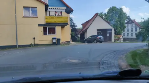
Eichelberghof
Farm and orchard · 6.2 km
10 Brinkstraße, Hardegsen
Mo 16:00-18:00; We 16:00-18:00; Fr 16:00-18:00
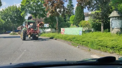

Kleiner Hofladen
Farm and orchard · 7.4 km
10 Landstraße, Adelebsen
Tu,Th 17:30-19:00


Hofladen Marzett
Farm and orchard · 4.2 km
12 Auf der Glaake, Hardegsen
Mo,We,Fr 15:00-18:00; PH off
34 more on the map.
Museums and landmarks41




29 more on the map.
Parks, trails and playgrounds24

Burgbad Hardegsen
Sports field and stadium
2 Gießeturm
Mo-Fr 06:00-07:30, Mo-Su,PH 10:00-19:00; Sep 12-May 06 off


Spielplatz am DGH
Playground · 6.3 km
Ausstattung: Wasserspiel, Nestschaukel, Kletterhaus, Doppelschaukel, Kriechröhre und großer Sandkasten.

12 more on the map.
Restaurants and cafes51

Erdbeerhof Hartmann
Cafe · 1.0 km
Eisdiele, Erdbeeren und Weihnachtsbäume
5 Zum Schöttelbach, Hardegsen
Mo-Su, PH 12:00-19:00
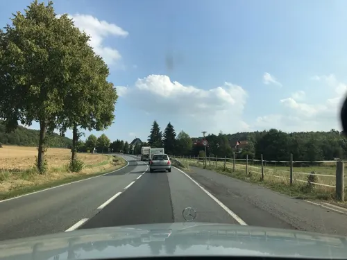
Gasthaus Schwülmetal
Restaurant · German · 7.1 km
2 Lindenbergsweg, Adelebsen
Mo-Tu 18:00+; Th-Fr 17:00+; Sa,Su 17:30+
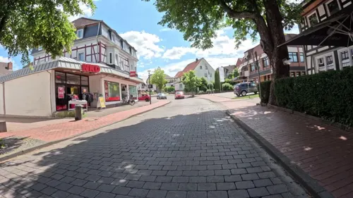
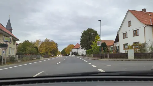
Zum Sachsenroß
Restaurant · 5.9 km
32 Obere Dorfstraße, Nörten-Hardenberg
Mo-Tu 17:30-23:00; We-Su,PH 11:30-14:00,17:30-23:00; Dec 23 off;...

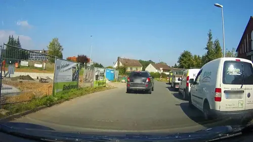
Bäckerei Beckmann
Bakery · 6.4 km
42 Mannenstraße, Moringen
Mo-Fr 06:00-18:00; Sa 06:00-16:30; Su 07:00-17:00


39 more on the map.
Where to stay8
Churches and places of worship19
Evangelisch-lutherische Kirchengemeinde Lutterhausen
Church · Protestant · 1.5 km
Shopping15
Gas and EV charging9
Schools, colleges and libraries9
Grundschule Volpriehausen (Rehbachschule)
School · 6.5 km
5 Raiffeisenstraße, Uslar
Healthcare4
Map of Hardegsen
226 places. The map loads OpenStreetMap tiles when you open it.
Getting there and nearby towns
Kassel Airport (KSF) is the nearest airport with scheduled flights listed in OpenStreetMap, 40 km away.
- Moringen 6 km northeast, about 6 min by car
- Nörten-Hardenberg 8 km east, about 8 min by car
- Bovenden 10 km southeast, about 10 min by car
- Hillerse 9 km northeast, about 9 min by car
- Northeim 13 km northeast, about 13 min by car
- Uslar 13 km west, about 13 min by car
- Göttingen 15 km southeast, about 15 min by car
- Rosdorf 18 km south, about 18 min by car
- Einbeck 19 km north, about 19 min by car
- Dassel 19 km northwest, about 19 min by car
Drive times are estimates from straight-line distance, not routes.
Local news
Headlines from INDB.
Reviews, tips and questions
Loading what members have shared...
Sources and licences
- GeoNames (CC BY 4.0): population, coordinates, regions and time zone
- Mapillary (see each image): photos
- OpenStreetMap contributors (ODbL 1.0): places, airports, map data
- Wikidata (CC0 1.0): elevation, founding date, time zone, website, landmarks and historic places
- Wikimedia Commons (see each image): photos
- Wikipedia (CC BY-SA 4.0): overview and history text
Photo credits
- FFH-Gebiet Weper, Gladeberg, Aschenburg - Gladeberg - Blick auf Hardegsen (3), Ragnar1904, CC BY-SA 4.0
- Burg Hardegsen 3, Photographer Alkibiades, CC BY-SA 3.0
- StMauritius Hardegsen 01, Jan Stubenitzky ( Dehio ), CC BY-SA 3.0
- Volksbank Solling Hardegsen, PKautz, CC BY-SA 3.0
- Hardegsen Kriegerdenkmal 02, Dehio, CC BY-SA 4.0
- Hardegsen Kriegerdenkmal 01, Dehio, CC BY-SA 4.0
- StMauritius Hardegsen 02, Jan Stubenitzky ( Dehio ), CC BY-SA 3.0
- Hardegsen Alte Schule, Dehio, CC BY-SA 4.0
- Superintendentur Hardegsen, Dehio, CC BY-SA 3.0
- Bushaltestelle Grundschule, 1, Hardegsen, Landkreis Northeim, GeorgDerReisende, CC BY-SA 4.0
- Hardegsen Bahnhof, Dehio, CC BY-SA 4.0
- Schöttelbach, 1,330, Hardegsen, Landkreis Northeim, GeorgDerReisende, CC BY-SA 4.0
- Hardegsen Sollingbahn K430, Dehio, CC BY-SA 4.0
- Schöttelbach, 1,930, Hardegsen, Landkreis Northeim, GeorgDerReisende, CC BY-SA 4.0
- Fredelsloh Klosterkirche Turmfront, Michael.chlistalla, CC BY-SA 3.0
- Noerten Kirche Martin, Kirchenfan, CC0
- Heimatmuseum Moringen-Eingang 2021-09-05, Sipalius, CC BY-SA 4.0
- Mannenstraße 62 Gaswerk Moringen, Clemensfranz, CC BY-SA 3.0
- Moringen Kirche Ulrich, Kirchenfan, CC0
- Weper 02, Jan Stubenitzky ( Dehio ), CC BY-SA 4.0
- Kirche Schlarpe, Jan Stubenitzky ( Dehio ), CC BY-SA 3.0
- StLamberti Hevensen, Jan Stubenitzky ( Dehio ), CC BY-SA 3.0
- Burg Hardeg 1, Photographer Alkibiades, CC BY-SA 3.0
- Burg Hardeg 13, Photographer Alkibiades, CC BY-SA 3.0
- Burg Hardeg 2, Photographer Alkibiades, CC BY-SA 3.0
- Burg Hardeg 5, Photographer Alkibiades, CC BY-SA 3.0
- Burg Hardeg 6, Photographer Alkibiades, CC BY-SA 3.0
- Burg Hardeg 10, Photographer Alkibiades, CC BY-SA 3.0
- Lutterhausen Eisenbahnbruecke B241 01, Jan Stubenitzky ( Dehio ), CC BY-SA 4.0
- Lutterhausen Eisenbahnbruecke B241 02, Jan Stubenitzky ( Dehio ), CC BY-SA 4.0
- Kirche Lutterhausen, Jan Stubenitzky ( Dehio ), CC BY-SA 4.0
- Hardegsen Zweiter Burgmannshof 01, Dehio, CC BY-SA 4.0
- Orchis anthropophora Aschenburg 03, Biodehio, CC BY-SA 3.0
- Street-level photo, denali6194, CC BY-SA 4.0
- Street-level photo, denali6194, CC BY-SA 4.0
- Street-level photo, hotteliene, CC BY-SA 4.0
- Street-level photo, hotteliene, CC BY-SA 4.0
- Street-level photo, saschahaberkorn, CC BY-SA 4.0
- Street-level photo, hotteliene, CC BY-SA 4.0
- Street-level photo, hotteliene, CC BY-SA 4.0
- Street-level photo, hotteliene, CC BY-SA 4.0
- Street-level photo, atpl_pilot, CC BY-SA 4.0
- Street-level photo, denali6194, CC BY-SA 4.0
- Street-level photo, atpl_pilot, CC BY-SA 4.0
- Street-level photo, cageythree, CC BY-SA 4.0
- Street-level photo, cageythree, CC BY-SA 4.0
- Street-level photo, hotteliene, CC BY-SA 4.0
- Street-level photo, cageythree, CC BY-SA 4.0
- Street-level photo, cageythree, CC BY-SA 4.0
- Street-level photo, cageythree, CC BY-SA 4.0
- Street-level photo, cageythree, CC BY-SA 4.0
- Street-level photo, hotteliene, CC BY-SA 4.0
- Street-level photo, hotteliene, CC BY-SA 4.0
- Street-level photo, chuck, CC BY-SA 4.0
- Street-level photo, hotteliene, CC BY-SA 4.0
- Street-level photo, atpl_pilot, CC BY-SA 4.0
- Street-level photo, cageythree, CC BY-SA 4.0
- Street-level photo, chuck, CC BY-SA 4.0


Page built November 9, 2026. Spotted a mistake? Tell us or suggest a place.