


Nörten-Hardenberg, Germany
Nörten-Hardenberg is a town of 8,514 people in Lower Saxony, Germany.
Why visit Nörten-Hardenberg
Townapedia lists 23 museums and landmarks, 49 parks and trails, 50 places to eat, 7 places to stay and 44 attractions in and around town.
Highlights include Hardenbergwarte, Keeses Bauernhof, Burg Plesse and Alte Burg.
Weather in Nörten-Hardenberg
Forecast from MET Norway (CC BY 4.0). Full forecast
About Nörten-Hardenberg
Nörten-Hardenberg (German pronunciation: [ˈnœʁtn̩ ˈhaʁdn̩bɛʁk]; Eastphalian: Nörten-Harenbarg) is a municipality in the district of Northeim, in Lower Saxony, Germany.
From the Wikipedia article Nörten-Hardenberg (this version), under CC BY-SA 4.0.
Things to do44


Angersteiner Hofladen
Farm and orchard · 1.8 km
8 Alte Straße, Nörten-Hardenberg
Mo-Su,PH 08:00-21:00

Erdbeeren Mecke
Farm and orchard · 4.6 km
Saisonaler Stand in Form einer Erdbeere
May 28-Jul 1 Mo-Fr 09:00-19:00; May 28-Jul 1 Sa 09:00-16:00; PH off
Hofladen Marzett
Farm and orchard · 5.9 km
12 Auf der Glaake, Hardegsen
Mo,We,Fr 15:00-18:00; PH off
32 more on the map.
Museums and landmarks23




Eichen-Halbstamm
Monument and historic site · 4.5 km
Fälldatum 3145±10 v.Chr.; Endalter 3190 v.Chr.
Nörten-Hardenberger Fachwerkausstellung
Museum · 0.7 km
75 Lange Straße, Nörten-Hardenberg

11 more on the map.
Parks, trails and playgrounds49

Ratsburgbad Reyershausen
Sports field and stadium · 4.9 km
Borntalstraße, Bovenden
Mo-Fr 09:00-20:00; Sa 09:00-19:00; PH off; Sep 10-May 5 off
Freibad Sudheim
Sports field and stadium · 5.5 km
Oberes Tor, Northeim
Mo-Sa 07:00-09:00,12:00-19:00; Su,PH 11:00-19:00; Sep 5-May 5 off





37 more on the map.
Restaurants and cafes50
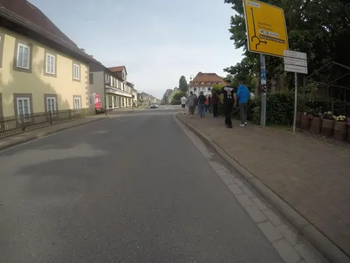
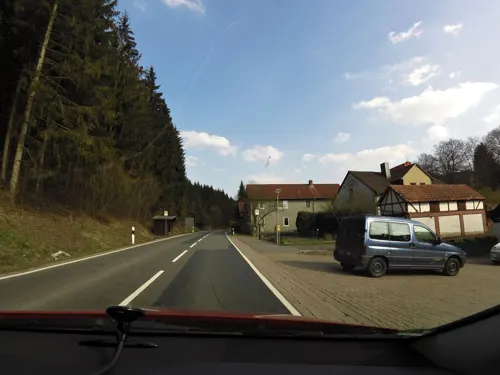
Hotel Restaurant Rodetal
Restaurant · German · 2.8 km
1 Rodetal, Nörten-Hardenberg
Tu-Sa 12:00-21:00; Su,PH 12:00-20:00
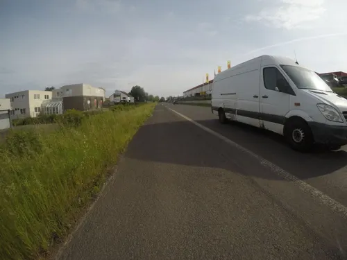
Olympia
Restaurant · Greek · 3.5 km
18 Industriestraße, Bovenden
Mo-Th 17:00-23:30; Fr-Su 12:00-14:00; Fr-Sa 17:00-23:30; Su,PH 17:00-22:00

Pizzeria La Romantica
Restaurant · Italian · 4.5 km
33 Göttinger Straße, Bovenden
12:00-14:30, 18:00-22:30
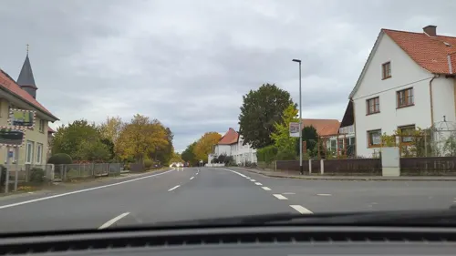
Zum Sachsenroß
Restaurant · 1.8 km
32 Obere Dorfstraße, Nörten-Hardenberg
Mo-Tu 17:30-23:00; We-Su,PH 11:30-14:00,17:30-23:00; Dec 23 off;...

Hermann
Bakery · 4.7 km
23a Rathausplatz, Bovenden
Mo-Fr 06:00-18:00; Sa 06:00-17:30; Su,PH 07:00-17:00

Hermann
Cafe · 6.3 km
26 Ludwig-Prandtl-Straße, Göttingen
Mo-Fr 07:00-18:00; Sa 07:00-15:00; Su 08:00-13:00; PH off
Novalis
Restaurant · 0.9 km
11a Hinterhaus, Nörten-Hardenberg
Mo-Su 07:00-11:00,12:00-16:00,18:00-21:30


Steinofenpizzeria Vesuvio
Restaurant · Pizza
65 Göttinger Straße, Nörten-Hardenberg
Tu-Su 17:00-22:00; Mo off
38 more on the map.
History
Hardenberg Castle, first mentioned in 1101, was built by the Electors of Mainz. Their Ministeriales (or Burgmann) were the lords of Rosdorf, who were expelled in 1287, followed by the lords of Thüdinghausen (near Moringen) who took on the name knights of Hardenberg. (They are not to be confounded with a westphalian noble family of Hardenberg Castle near Velbert, extinct in 1450). A branch went to Denmark around 1340, which later became extinct, Anne Hardenberg belonging
to it. The family acquired further properties near Nörten-Hardenberg, as well as in other regions of Northern Germany. Since 1409 Hardenberg Castle was split between two family branches. Partly destroyed by a thunderstorm in 1698, the castle was abandoned in 1720 and became a ruin. In 1778 created counts, the Hardenberg family, whose most prominent members were Karl August von Hardenberg, prime minister of Prussia, and the poet Novalis, still owns the estate. Since 1710 the family occupies the nearby manor house. In 1700, they founded the Hardenberg-Wilthen distillery, today Germany's second largest liquor producer.
From the History section of Nörten-Hardenberg on Wikipedia, under CC BY-SA 4.0.
Where to stay7
Pension Blick zur Burg Plesse
Motel and hotel · 4.3 km
2 Unterer Hainberg, Bovenden
Churches and places of worship19
Gemeinschaft Entschiedener Christen – Ecclesia
Church · Evangelical · 4.6 km
1 Plesseweg, Bovenden
Shopping29
Gas and EV charging11
Schools, colleges and libraries11
KGS Moringen (Standort Nörten-Hardenberg)
School
2 An der Bünte, Nörten-Hardenberg
Healthcare4
Map of Nörten-Hardenberg
247 places. The map loads OpenStreetMap tiles when you open it.
Getting there and nearby towns
Kassel Airport (KSF) is the nearest airport with scheduled flights listed in OpenStreetMap, 44 km away.
- Bovenden 5 km south, about 5 min by car
- Northeim 10 km northeast, about 10 min by car
- Göttingen 10 km south, about 10 min by car
- Rosdorf 15 km south, about 15 min by car
- Uslar 21 km west, about 21 min by car
- Einbeck 22 km north, about 22 min by car
- Duderstadt 26 km southeast, about 26 min by car
- Dassel 26 km northwest, about 26 min by car
- Bad Gandersheim 28 km north, about 28 min by car
- Herzberg am Harz 28 km east, about 28 min by car
Drive times are estimates from straight-line distance, not routes.
Local news
Headlines from INDB.
Reviews, tips and questions
Loading what members have shared...
Sources and licences
- GeoNames (CC BY 4.0): population, coordinates, regions and time zone
- Mapillary (see each image): photos
- OpenStreetMap contributors (ODbL 1.0): places, airports, map data
- Wikidata (CC0 1.0): elevation, founding date, time zone, website
- Wikimedia Commons (see each image): photos
- Wikipedia (CC BY-SA 4.0): overview and history text
Photo credits
- Bushaltestelle Göttinger Straße, 1, Nörten-Hardenberg, Landkreis Northeim, GeorgDerReisende, CC BY-SA 4.0
- Göttinger Straße, 2, Nörten-Hardenberg, Landkreis Northeim, GeorgDerReisende, CC BY-SA 4.0
- Bushaltestelle Göttinger Straße, 2, Nörten-Hardenberg, Landkreis Northeim, GeorgDerReisende, CC BY-SA 4.0
- Nörten-Hardenberg - Pi in Stein 133 5, Sipalius, CC BY-SA 4.0
- Volksbank Kassel Göttingen, Filiale Nörten-Hardenberg, Gerd Fahrenhorst, CC BY 4.0
- Göttinger Straße 25, 1, Nörten-Hardenberg, Landkreis Northeim, GeorgDerReisende, CC BY-SA 4.0
- Bahnhofstraße, 1, Nörten-Hardenberg, Landkreis Northeim, GeorgDerReisende, CC BY-SA 4.0
- Bahnhof Nörten-Hardenberg, 2, Nörten-Hardenberg, Landkreis Northeim, GeorgDerReisende, CC BY-SA 4.0
- Göttinger Straße, 1, Nörten-Hardenberg, Landkreis Northeim, GeorgDerReisende, CC BY-SA 4.0
- Bushaltestelle Bahnhof-ZOB, 1, Nörten-Hardenberg, Landkreis Northeim, GeorgDerReisende, CC BY-SA 4.0
- Bahnhof Nörten-Hardenberg, 3, Nörten-Hardenberg, Landkreis Northeim, GeorgDerReisende, CC BY-SA 4.0
- Mitfahrerbank, 1, Nörten-Hardenberg, Landkreis Northeim, GeorgDerReisende, CC BY-SA 4.0
- Bahnhof Nörten-Hardenberg, 14, Nörten-Hardenberg, Landkreis Northeim, GeorgDerReisende, CC BY-SA 4.0
- Bahnhof Nörten-Hardenberg, 13, Nörten-Hardenberg, Landkreis Northeim, GeorgDerReisende, CC BY-SA 4.0
- Nörten-Hardenberg, Germany - panoramio, Dewi König, CC BY-SA 3.0
- Bahnhof Nörten-Hardenberg, 12, Nörten-Hardenberg, Landkreis Northeim, GeorgDerReisende, CC BY-SA 4.0
- Christuskirche, 1, Nörten-Hardenberg, Landkreis Northeim, GeorgDerReisende, CC BY-SA 4.0
- Bahnhof Nörten-Hardenberg, 8, Nörten-Hardenberg, Landkreis Northeim, GeorgDerReisende, CC BY-SA 4.0
- Bahnhof Nörten-Hardenberg, 15, Nörten-Hardenberg, Landkreis Northeim, GeorgDerReisende, CC BY-SA 4.0
- Bushaltestelle Burgstraße, 1, Nörten-Hardenberg, Landkreis Northeim, GeorgDerReisende, CC BY-SA 4.0
- Bahnhof Nörten-Hardenberg, 9, Nörten-Hardenberg, Landkreis Northeim, GeorgDerReisende, CC BY-SA 4.0
- Christuskirche, 2, Nörten-Hardenberg, Landkreis Northeim, GeorgDerReisende, CC BY-SA 4.0
- Gerichtslinde, 1, Nörten-Hardenberg, Landkreis Northeim, GeorgDerReisende, CC BY-SA 4.0
- Lange Straße, 10, Nörten-Hardenberg, Landkreis Northeim, GeorgDerReisende, CC BY-SA 4.0
- Kriegerdenkmal, 1, Nörten-Hardenberg, Landkreis Northeim, GeorgDerReisende, CC BY-SA 4.0
- „Wir warten auf euch“, 1, Nörten-Hardenberg, Landkreis Northeim, GeorgDerReisende, CC BY-SA 4.0
- Bushaltestelle Burgstraße, 2, Nörten-Hardenberg, Landkreis Northeim, GeorgDerReisende, CC BY-SA 4.0
- Leineweg, 1, Nörten-Hardenberg, Landkreis Northeim, GeorgDerReisende, CC BY-SA 4.0
- Hindenburgplatz, 1, Nörten-Hardenberg, Landkreis Northeim, GeorgDerReisende, CC BY-SA 4.0
- Bahnhof Nörten-Hardenberg, 4, Nörten-Hardenberg, Landkreis Northeim, GeorgDerReisende, CC BY-SA 4.0
- Bahnhof Nörten-Hardenberg, 11, Nörten-Hardenberg, Landkreis Northeim, GeorgDerReisende, CC BY-SA 4.0
- Klostergut Marienstein, 17, Nörten-Hardenberg, Landkreis Northeim, GeorgDerReisende, CC BY-SA 4.0
- Lange Straße, 9, Nörten-Hardenberg, Landkreis Northeim, GeorgDerReisende, CC BY-SA 4.0
- Klostergut Marienstein, 1, Nörten-Hardenberg, Landkreis Northeim, GeorgDerReisende, CC BY-SA 4.0
- Lange Straße 114, 1, Nörten-Hardenberg, Landkreis Northeim, GeorgDerReisende, CC BY-SA 4.0
- Bahnhof Nörten-Hardenberg, 10, Nörten-Hardenberg, Landkreis Northeim, GeorgDerReisende, CC BY-SA 4.0
- Noerten Kirche Martin, Kirchenfan, CC0
- Göttingen - Sternwarte, Johannes Poets, CC BY-SA 4.0
- Stronghold Noerten-Hardenberg 2b, Unknown author, CC BY-SA 3.0
- Maeuseberg Eulenberg, Jan Stubenitzky ( Dehio ), CC BY-SA 3.0
- Elvese, Jan Stubenitzky ( Dehio ), CC BY-SA 3.0
- Schlosshardenberg, Polemon, Public domain
- Alte Burg Bühle Turmhügel 2, Axel Hindemith, CC BY 3.0
- Hardenbergswarte, Jan Stubenitzky ( Dehio ), CC BY-SA 3.0 de
- Kirche zu Reyershausen, Barbara Arand, CC BY-SA 4.0
- Bovenden, St. Martini (01), Subbass1, CC BY-SA 4.0
- StLamberti Hevensen, Jan Stubenitzky ( Dehio ), CC BY-SA 3.0
- Burg Plesse 02, Jan Stubenitzky ( Dehio ), CC BY-SA 3.0
- NS Göttingen Bovenden Plesseburg 003, Steffen 962, Public domain
- StNicolai Sudheim 01, Jan Stubenitzky ( Dehio ), CC BY-SA 3.0
- Christuskirche Noerten, Jan Stubenitzky ( Dehio ), CC BY-SA 3.0
- Street-level photo, mfa, CC BY-SA 4.0
- Street-level photo, hotteliene, CC BY-SA 4.0
- Street-level photo, bitnapper, CC BY-SA 4.0
- Street-level photo, mfa, CC BY-SA 4.0
- Street-level photo, hotteliene, CC BY-SA 4.0
- Street-level photo, mfa, CC BY-SA 4.0
- Street-level photo, mfa, CC BY-SA 4.0
- Street-level photo, changchun1, CC BY-SA 4.0
- Street-level photo, bitnapper, CC BY-SA 4.0
- Street-level photo, mfa, CC BY-SA 4.0
- Street-level photo, mfa, CC BY-SA 4.0
- Street-level photo, mfa, CC BY-SA 4.0
- Street-level photo, mfa, CC BY-SA 4.0
- Street-level photo, mfa, CC BY-SA 4.0
- Street-level photo, chuck, CC BY-SA 4.0
- Street-level photo, mfa, CC BY-SA 4.0
- Street-level photo, hoxel, CC BY-SA 4.0
- Street-level photo, mfa, CC BY-SA 4.0
- Street-level photo, cageythree, CC BY-SA 4.0


Page built November 9, 2026. Spotted a mistake? Tell us or suggest a place.