


Why visit Heideck
Townapedia lists 19 museums and landmarks, 9 parks and trails, 24 places to eat, 3 places to stay and 6 attractions in and around town.
Highlights include Das Milchkämmerla, Rehgenick, Steinkreuz and Steinkreuz.
Weather in Heideck
Forecast from MET Norway (CC BY 4.0). Full forecast
About Heideck
Heideck (German pronunciation: [ˈhaɪdɛk] ) is a town with full legal town charter in the district of Roth, in Bavaria, Germany. It is situated in the Metropolitan Area of Nuremberg and at the same time in the Franconian Lake District.
From the Wikipedia article Heideck (this version), under CC BY-SA 4.0.
Things to do6
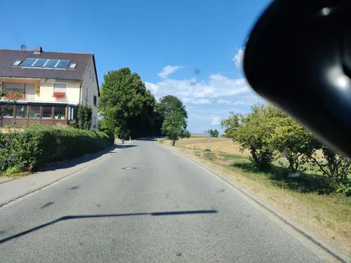


Museums and landmarks19






7 more on the map.
Parks, trails and playgrounds9


Freibad Heideck
Sports field and stadium · 1.3 km
May, Sep 09:00-19:30; Jun 01-Aug 15: 09:00-20:00; "Das Bad wird...

Restaurants and cafes24
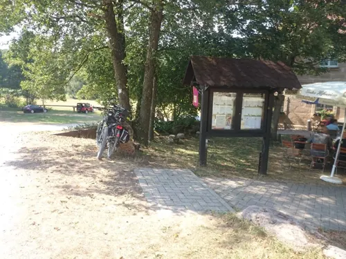
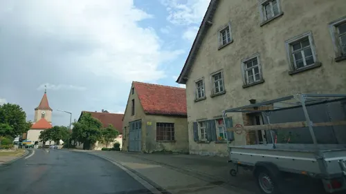
Gasthof Winkler
Restaurant · German · 5.1 km
Gasthof mit Pension
187 Alfershausen, Thalmässing
Mo-We 07:30-14:30,17:00-22:00; Fr-Su 07:30-23:00

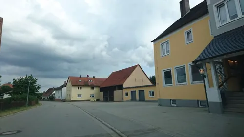
Gasthaus Rathmann
Restaurant · Regional · 3.1 km
6 Laffenau, Heideck
Fr,Sa 17:00-22:00; Su,PH 11:00-14:00,17:00-20:00
Gaststätte Waldsee
Restaurant · 6.3 km
Regionale Küche
23 Badstraße, Roth
Tu 14:00-22:00+; Fr-Su 12:00-22:00+
Gasthof zur Mühle
Restaurant · Vietnamese, Sushi · 1.7 km
Restaurant mit Pension
6 Oberrödeler Straße, Heideck
Mo off; Tu-Sa 11:00-14:30, 17:00-22:00; Su, PH 11:30-22:00


12 more on the map.
Where to stay3
Churches and places of worship23
Katholische Filialkirche Mariä Verkündigung
Church · Roman Catholic · 5.7 km
1 Am Mühlbach, Hilpoltstein
Mariä Himmelfahrt
Church · Roman Catholic · 3.8 km
70 Laibstadt, Laibstadt
St. Johannes der Täufer
Church · Roman Catholic
21 Marktplatz, Heideck
Shopping6
Gas and EV charging4
Schools, colleges and libraries3
Healthcare1
Map of Heideck
98 places. The map loads OpenStreetMap tiles when you open it.
Getting there and nearby towns
Albrecht Dürer Airport Nuremberg (NUE) is the nearest airport with scheduled flights listed in OpenStreetMap, 41 km away.
- Hilpoltstein 8 km northeast, about 8 min by car
- Thalmässing 9 km southeast, about 9 min by car
- Roth 13 km north, about 13 min by car
- Weißenburg in Bayern 16 km southwest, about 16 min by car
- Spalt 15 km west, about 15 min by car
- Pyrbaum 21 km northeast, about 21 min by car
- Schwabach 23 km north, about 23 min by car
- Wendelstein 24 km north, about 24 min by car
- Treuchtlingen 26 km southwest, about 26 min by car
- Gunzenhausen 27 km west, about 27 min by car
Drive times are estimates from straight-line distance, not routes.
Local news
Headlines from INDB.
Reviews, tips and questions
Loading what members have shared...
Sources and licences
- GeoNames (CC BY 4.0): population, coordinates, regions and time zone
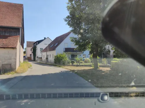
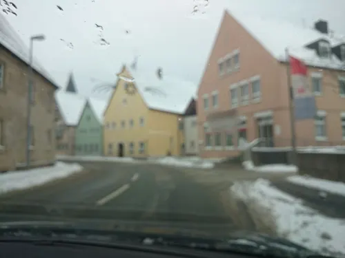
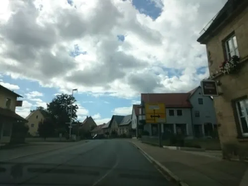
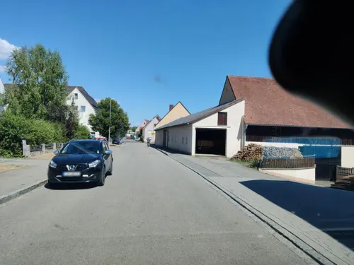
- Mapillary (see each image): photos
- OpenStreetMap contributors (ODbL 1.0): places, airports, map data
- Wikidata (CC0 1.0): elevation, founding date, time zone, website
- Wikimedia Commons (see each image): photos
- Wikipedia (CC BY-SA 4.0): overview and history text
Photo credits
- Heideck RH 091, DALIBRI, CC BY-SA 4.0
- Heideck RH 086, DALIBRI, CC BY-SA 4.0
- Frauenkirche - Heideck 061, DALIBRI, CC BY-SA 4.0
- Heideck RH 089, DALIBRI, CC BY-SA 4.0
- Heideck RH 090, DALIBRI, CC BY-SA 4.0
- Frauenkirche - Heideck 062, DALIBRI, CC BY-SA 4.0
- Heideck RH 087, DALIBRI, CC BY-SA 4.0
- Heideck RH 088, DALIBRI, CC BY-SA 4.0
- Heideck RH 085, DALIBRI, CC BY-SA 4.0
- St Johannes - Heideck 116, DALIBRI, CC BY-SA 4.0
- St Johannes - Heideck 108, DALIBRI, CC BY-SA 4.0
- St Johannes - Heideck 117, DALIBRI, CC BY-SA 4.0
- Frauenkirche - Heideck 063, DALIBRI, CC BY-SA 4.0
- St Johannes - Heideck 107, DALIBRI, CC BY-SA 4.0
- St Johannes - Heideck 109, DALIBRI, CC BY-SA 4.0
- Heideck RH 092, DALIBRI, CC BY-SA 4.0
- St Johannes - Heideck 091, DALIBRI, CC BY-SA 4.0
- St Johannes - Heideck 092, DALIBRI, CC BY-SA 4.0
- Heideck RH 094, DALIBRI, CC BY-SA 4.0
- St Johannes - Heideck 106, DALIBRI, CC BY-SA 4.0
- St Johannes - Heideck 105, DALIBRI, CC BY-SA 4.0
- Heideck RH 084, DALIBRI, CC BY-SA 4.0
- Heideck RH 093, DALIBRI, CC BY-SA 4.0
- St Johannes - Heideck 115, DALIBRI, CC BY-SA 4.0
- St Johannes - Heideck 104, DALIBRI, CC BY-SA 4.0
- Heideck RH 118, DALIBRI, CC BY-SA 4.0
- St Johannes - Heideck 110, DALIBRI, CC BY-SA 4.0
- Heideck RH 117, DALIBRI, CC BY-SA 4.0
- Heideck RH 119, DALIBRI, CC BY-SA 4.0
- Heideck RH 115, DALIBRI, CC BY-SA 4.0
- Heideck RH 128, DALIBRI, CC BY-SA 4.0
- St Johannes - Heideck 103, DALIBRI, CC BY-SA 4.0
- Heideck RH 116, DALIBRI, CC BY-SA 4.0
- Heideck RH 129, DALIBRI, CC BY-SA 4.0
- Heideck RH 083, DALIBRI, CC BY-SA 4.0
- St Johannes - Heideck 114, DALIBRI, CC BY-SA 4.0
- Heideck RH 127, DALIBRI, CC BY-SA 4.0
- Heideck RH 095, DALIBRI, CC BY-SA 4.0
- St Johannes - Heideck 099, DALIBRI, CC BY-SA 4.0
- Heideck RH 126, DALIBRI, CC BY-SA 4.0
- Heideck Marktplatz, BKLuis, Public domain
- Burg Neuhaus - panoramio, Siegmar S., CC BY-SA 3.0
- Burgruine Stauf01, Sven-121, CC0
- Burgstall Schossberg01 (Heideck), Sven-121, CC0
- Alfershausen Kirche, Mef.ellingen, CC BY-SA 3.0
- St Thomas und Ägidius - Eysölden 005, DALIBRI, CC BY-SA 4.0
- Schloss Eysölden 018, DALIBRI, CC BY-SA 4.0
- St Maria - Wallesau 040, DALIBRI, CC BY-SA 4.0
- Frauenkirche Heideck, Stadt Heideck | Christian Albrecht, CC BY 3.0
- Mariä Himmelfahrt - Laibstadt 001, DALIBRI, CC BY-SA 4.0
- St Martin - Rudletzholz 06, DALIBRI, CC BY-SA 4.0
- Heilig Geist - Schloßberg 003, DALIBRI, CC BY-SA 4.0
- Hofstetten HIP (2), Rensi, CC0
- Zell HIP, Rensi, CC0
- Heideck, Marktplatz 24-20160814-001, Tilman2007, CC BY-SA 4.0
- Steinkreuze (D-5-76-148-49) 03, Cycling zno, CC BY 3.0
- Steinkreuz D-5-76-143-207 05, Derzno, CC BY 3.0
- Steinkreuz Pyras 03, Cycling zno, CC BY 3.0
- Burgstall Altenheideck 01, Sven-121, CC0
- Street-level photo, msdess, CC BY-SA 4.0
- Street-level photo, msdess, CC BY-SA 4.0
- Street-level photo, msdess, CC BY-SA 4.0
- Street-level photo, kopra, CC BY-SA 4.0
- Street-level photo, msdess, CC BY-SA 4.0
- Street-level photo, msdess, CC BY-SA 4.0
- Street-level photo, kopra, CC BY-SA 4.0
- Street-level photo, kopra, CC BY-SA 4.0
- Street-level photo, kopra, CC BY-SA 4.0
- Street-level photo, bigbug21, CC BY-SA 4.0
- Street-level photo, msdess, CC BY-SA 4.0
- Street-level photo, kopra, CC BY-SA 4.0
- Street-level photo, msdess, CC BY-SA 4.0
- Street-level photo, msdess, CC BY-SA 4.0
- Street-level photo, bigbug21, CC BY-SA 4.0
- Street-level photo, stephi2205, CC BY-SA 4.0
- Street-level photo, msdess, CC BY-SA 4.0
- Street-level photo, msdess, CC BY-SA 4.0
- Street-level photo, kopra, CC BY-SA 4.0
- Street-level photo, msdess, CC BY-SA 4.0


Page built November 9, 2026. Spotted a mistake? Tell us or suggest a place.