


Why visit Roetgen
Townapedia lists 68 museums and landmarks, 25 parks and trails, 26 places to eat, 11 places to stay and 4 attractions in and around town.
Highlights include Bauernmuseum, Bunker 1, Alte Hahnerstraße and Dreilägerbach mit Vorbecken und Steinbach.
Weather in Roetgen
Forecast from MET Norway (CC BY 4.0). Full forecast
About Roetgen
Roetgen (German pronunciation: [ˈʁøːtçən]) is a municipality in the district of Aachen, in North Rhine-Westphalia, Germany.
From the Wikipedia article Roetgen (this version), under CC BY-SA 4.0.
Things to do4


Museums and landmarks68


Friedenskreuz
Monument and historic site · 4.5 km
Station XII, Kreuzweg Giersberg


Offermann-Kreuz
Monument and historic site · 3.3 km
Steinkreuz im Barockstil zum Gedenken an Cornelius Offermann aus Witzerath, Transportunternehmer, der im August 1774 hier ermordet wurde.

Paul Butko
Monument and historic site · 1.3 km
L 238 bei Dreilägerbachtalsperre am Eifelsteig, Gegenüber der Einfahrt zum Wasserwerk

Weltkriegsmahnmal
Monument and historic site · 1.0 km
Gedenkstein für die hier gefallene Soldaten Richard Spencer Burrows und Heinrich Brunk am Westwall in Roetgen


56 more on the map.
Parks, trails and playgrounds25


Dreilägerbach mit Vorbecken und Steinbach
Hiking and trails · 3.1 km

Hoscheiter Venn mit Quellgebieten des Dreiläger- und Schleebaches
Hiking and trails · 3.2 km


Vichtbachtal mit Grölis-, Schlee- und Lensbach
Hiking and trails · 5.5 km

13 more on the map.
Restaurants and cafes26

Gasthof Alpenschmaus beim Österreicher
Restaurant · Regional · 1.2 km
23 Wilhelmstraße, Roetgen
Mo-We off; Th-Su 17:00-21:30
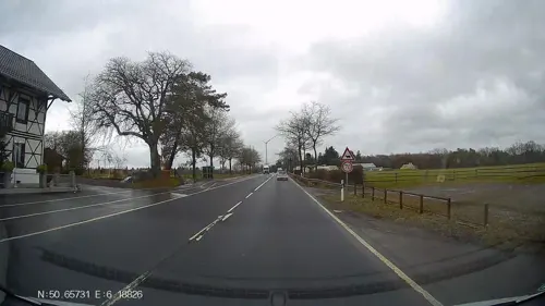
Gut Marienbildchen
Restaurant · Regional · 1.2 km
Mo 17:00-22:30; Tu-Sa 12:00-15:00,17:00-22:30; Su off
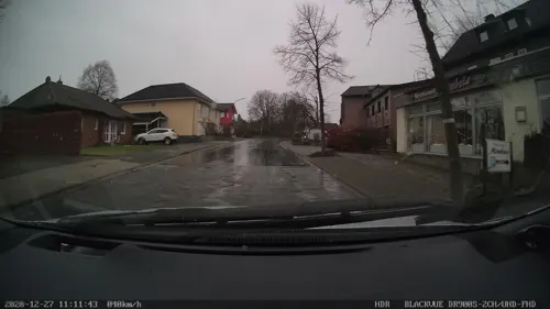
Kim's Asia
Restaurant · Asian · 1.3 km
116 Bundesstraße, Roetgen
Mo 11:30-14:30, 17:00-21:30; We-Fr 11:30-14:30, 17:00-21:30; Sa,...

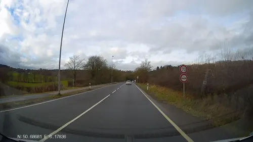
Gut Kalkhäuschen
Restaurant · 4.4 km
400 Schleidener Straße, Aachen
Tu-Su 18:00-23:00
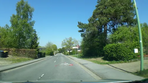
Maison Charlemagne
Restaurant · 1.2 km
14 Faulenbruchstraße, Roetgen
Mo 18:00-24:00; We-Sa 18:00-24:00; Su 14:00-24:00
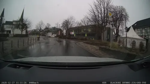
Tor zur Eifel
Restaurant · 1.2 km
88 Petergensfeld, Raeren
Mo-Th 12:00-22:00; Fr 16:00-23:00; Sa-Su 12:00-22:00
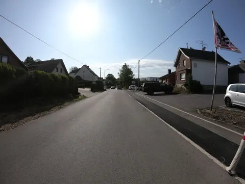
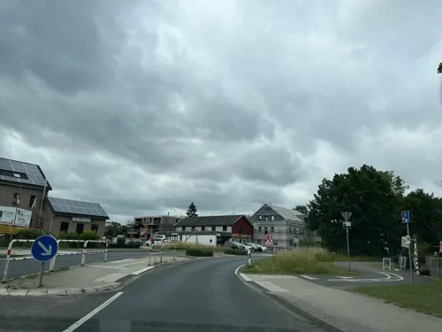


14 more on the map.
History
In World War II, Roetgen was the first German town to fall under American control. American forces arrived in the town on 12 September 1944 at 14:30 hours.
The city was the location of the court martial of US Army Private Eddie Slovik in November 1944, notable because of all US military personnel in World War II accused of desertion, Slovik was the only one sentenced to death and actually executed.
On March 13, 2019, Roetgen was hit by a low-end F3 tornado. The tornado caused moderate to severe damage to buildings and trees. Vehicles were also overturned and flipped. 5 people were injured by the tornado.
From the History section of Roetgen on Wikipedia, under CC BY-SA 4.0.
Where to stay11
Churches and places of worship10
St. Josef Schmithof-Sief
Church · Catholic · 5.6 km
204 Schmithofer Straße, Aachen
Shopping11
Gas and EV charging3
Schools, colleges and libraries2
Healthcare1
Map of Roetgen
161 places. The map loads OpenStreetMap tiles when you open it.
Getting there and nearby towns
Flugplatz Würselen-Aachen (AAH) is the nearest airport with scheduled flights listed in OpenStreetMap, 19 km away.
- Simmerath 9 km southeast, about 9 min by car
- Monschau 11 km south, about 11 min by car
- Stolberg 14 km north, about 14 min by car
- Aachen 16 km northwest, about 16 min by car
- Eschweiler 19 km north, about 19 min by car
- Würselen 19 km north, about 19 min by car
- Nideggen 21 km east, about 21 min by car
- Langerwehe 21 km northeast, about 21 min by car
- Alsdorf 25 km north, about 25 min by car
- Herzogenrath 25 km north, about 25 min by car
Drive times are estimates from straight-line distance, not routes.
Local news
Headlines from INDB.
Reviews, tips and questions
Loading what members have shared...
Sources and licences
- GeoNames (CC BY 4.0): population, coordinates, regions and time zone
- Mapillary (see each image): photos
- OpenStreetMap contributors (ODbL 1.0): places, airports, map data
- Wikidata (CC0 1.0): elevation, founding date, time zone, website
- Wikimedia Commons (see each image): photos
- Wikipedia (CC BY-SA 4.0): overview and history text
Photo credits
- WK Hauptstraße 103, Roetgen, ArthurMcGill, CC BY-SA 4.0
- Bildstock Rommelweg 46, Roetgen, ArthurMcGill, CC BY-SA 4.0
- Bildstock Stockschläger, Roetgen (1), ArthurMcGill, CC BY-SA 4.0
- Bildstock Stockläger, Roetgen, ArthurMcGill, CC BY 3.0
- Friedhofskreuz Roetgen, ArthurMcGill, CC BY 3.0
- WK Friedenskreuz, Roetgen, ArthurMcGill, CC BY-SA 4.0
- WK Hauptstraße-Jennepeterstraße, Roetgen, ArthurMcGill, CC BY 3.0
- Mariengrotte Roetgen, ArthurMcGill, CC BY-SA 4.0
- Panzerabwehrbunker, Westwall Roetgen, ArthurMcGill, CC BY 3.0
- WK Kuhberg, Roetgen, ArthurMcGill, CC BY 3.0
- WK Kuhberg 18, Roetgen, ArthurMcGill, CC BY 3.0
- Roetgen, Panzersperre an der Hauptstraße -- 2021 -- 6570, Dietmar Rabich, CC BY-SA 4.0
- Roetgen, Panzersperre an der Hauptstraße -- 2021 -- 6571, Dietmar Rabich, CC BY-SA 4.0
- AVV-66 Roetgen Post, ACBahn, CC BY 3.0
- Radfahrer-raststaette-roetgen, Pimvantend, CC BY-SA 3.0
- Vorbecken Dreilägertalspeerre, Roetgen (7), ArthurMcGill, CC BY-SA 4.0
- NSG Weser, südl. Abschnitt, Roetgen (2), ArthurMcGill, CC BY-SA 4.0
- NSG Rommerich (3), ArthurMcGill, CC BY-SA 4.0
- Kriegerkapelle AC-Friesenrath (5), ArthurMcGill, CC BY-SA 4.0
- Roetgen Hauptstraße 66 Katholische Hallenkirche, Caronna, CC BY-SA 3.0
- PAK-Garage Westwall Roetgen, ArthurMcGill, CC BY 3.0
- Kreuzweg Rott, Station 12, ArthurMcGill, CC BY-SA 4.0
- Ehrenmal Quiriniusstraße, Roetgen-Rott.JPG (2), ArthurMcGill, CC BY-SA 4.0
- Westwall Roetgen (2), ArthurMcGill, CC BY 3.0
- Meilenstein roetgen Bundesstraße, Caronna, CC BY-SA 3.0
- WK Lammerkreuzstraße, Roetgen, ArthurMcGill, CC BY 3.0
- WK Offermanns, Roetgen-Fringshaus (2), ArthurMcGill, CC BY-SA 4.0
- Gefallenendenkmal Westwall Roetgen, ArthurMcGill, CC BY 3.0
- WK Waldsiedlung Lammersdorf, ArthurMcGill, CC BY 3.0
- NSG Alte Hahner Straße, Lammesdorf (4), ArthurMcGill, CC BY-SA 4.0
- Vorbecken Dreilägerbach-Talsperre Roetgen, awi in rott, CC BY-SA 4.0
- NSG Hoscheider Venn, Lammersdorf (9), ArthurMcGill, CC BY-SA 4.0
- NSG Kämpchen, Lammersdorf (3), ArthurMcGill, CC BY-SA 4.0
- Hasselbachkaskade Roetgen, ArthurMcGill, CC BY 3.0
- NSG oberes Indetal (5), ArthurMcGill, CC BY 3.0
- NSG Roetgenbach, Roetgen (1), ArthurMcGill, CC BY-SA 4.0
- NSG Rote Kouhl, Roetgen (2), ArthurMcGill, CC BY-SA 4.0
- Struffelt Teich, Ahoerstemeier, CC BY-SA 3.0
- Vichtbach bei Rotterdell, ArthurMcGill, CC BY 3.0
- Grenzstein 867, Ahoerstemeier, CC BY-SA 4.0
- Roetgen, kerk2 foto8 2011-03-23 15.41, Michielverbeek, CC BY-SA 3.0
- St. Antonius, Roetgen-Rott (3), ArthurMcGill, CC BY-SA 4.0
- Kapelle Giersberg - Rott, ArthurMcGill, CC BY 3.0
- Krieger-Gedächtniskapelle Friesenrath (7), ArthurMcGill, CC BY-SA 4.0
- Gemeindehaus Lammersdorf (1), ArthurMcGill, CC BY-SA 4.0
- Waldheim-Schmithof, kerk foto10 2011-03-23 16.14, Michielverbeek, CC BY-SA 3.0
- Kapelle St. Bernhard Walheim (3), ArthurMcGill, CC BY-SA 4.0
- Marienkapelle Lammersdorf-Hoscheiter Staße, ArthurMcGill, CC BY-SA 4.0
- Stolperstein Paul Butko, Engimat, CC BY-SA 4.0
- Bauernmuseum Lammersdorf, Steffen Heinz Caronna, CC BY 3.0
- Street-level photo, Hightower-, CC BY-SA 4.0
- Street-level photo, madel, CC BY-SA 4.0
- Street-level photo, madel, CC BY-SA 4.0
- Street-level photo, madel, CC BY-SA 4.0
- Street-level photo, madel, CC BY-SA 4.0
- Street-level photo, vinisa, CC BY-SA 4.0
- Street-level photo, jeroenrozema74, CC BY-SA 4.0
- Street-level photo, tobiasreg, CC BY-SA 4.0
- Street-level photo, Hightower-, CC BY-SA 4.0
- Street-level photo, tobiasreg, CC BY-SA 4.0
- Street-level photo, vinisa, CC BY-SA 4.0
- Street-level photo, map_dav, CC BY-SA 4.0
- Street-level photo, mprins, CC BY-SA 4.0
- Street-level photo, joostjakob, CC BY-SA 4.0
- Street-level photo, jeroenrozema74, CC BY-SA 4.0
- Street-level photo, joostjakob, CC BY-SA 4.0
- Street-level photo, joostjakob, CC BY-SA 4.0
- Street-level photo, madel, CC BY-SA 4.0
- Street-level photo, mprins, CC BY-SA 4.0
- Street-level photo, vinisa, CC BY-SA 4.0
- Street-level photo, mprins, CC BY-SA 4.0
- Street-level photo, noel, CC BY-SA 4.0
- Street-level photo, jeroenrozema74, CC BY-SA 4.0


Page built November 9, 2026. Spotted a mistake? Tell us or suggest a place.