


Why visit Hennigsdorf
Townapedia lists 34 museums and landmarks, 28 parks and trails, 85 places to eat, 10 places to stay and 1 attraction in and around town.
Highlights include Mathiasberg, Grenzturm Nieder Neuendorf, Rudolf Herzfeld and Berliner Golfclub Stolper Heide.
Weather in Hennigsdorf
Forecast from MET Norway (CC BY 4.0). Full forecast
About Hennigsdorf
Hennigsdorf (German pronunciation: [ˈhɛnɪçsˌdɔʁf] ) is a town in the district of Oberhavel, in Brandenburg, in eastern Germany. It is situated north-west of Berlin, just across the city border, which is formed mainly by the Havel river.
From the Wikipedia article Hennigsdorf (this version), under CC BY-SA 4.0.
Travel tips from other travellers: Hennigsdorf on Wikivoyage (CC BY-SA 4.0).
Things to do1

Museums and landmarks34




Berlin Wall
Monument and historic site · 4.4 km
Former course of the Berlin wall, some marked with cobblestones
Osthavelländische Kreisbahn Nauen-Velten
Monument and historic site · 4.8 km
Abgebaute Bahngleise bitte nicht löschen, sondern als abandoned bzw. razed taggen.
22 more on the map.
Parks, trails and playgrounds28
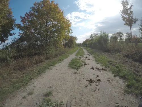
Berliner Golfclub Stolper Heide
Golf course · 4.0 km
18 hole Par 72 East course + 18 hole Par 72 West course + 6 hole academy
PH,Mo-Su 08:00-19:00

Veltinchen
Playground · 3.7 km
11 Parkallee, Velten
We-Fr 14:00-19:00; Sa,Su,PH 10:00-19:00; SH Mo-Su 10:00-19:00; Mo,Tu off



Fahrten-Segler Jörsfelde - FSJ
Marina and boat launch · 2.4 km

16 more on the map.
Restaurants and cafes85
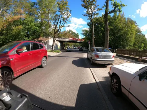

Syrtaki
Restaurant · Greek
21 Neuendorfstraße, Hennigsdorf
Tu-Su 11:30-14:30, Tu-Sa 17:00-23:00, Su,PH 17:00-22:00
Bocado
Restaurant · Tapas · 3.6 km
12 Am Dachsbau
Mo-Th 16:00-22:00; Fr-Sa 12:00-23:00; Su 12:00-22:00
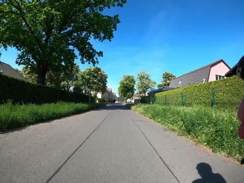
Gasthaus "Zur Erholung"
Restaurant · German · 1.1 km
42 Forststraße, Hennigsdorf
Tu-We 16:00-23:00; Th 16:00-00:00; Fr-Su 16:00-23:00
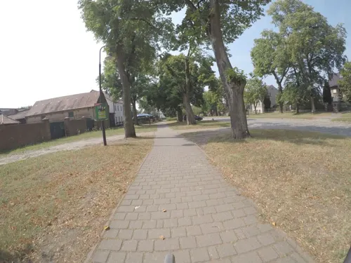
Le My Vietnamesische Küche & Sushi
Restaurant · Vietnamese · 4.5 km
6a Dorfstraße, Hohen Neuendorf
Mo-Su 11:00-22:00
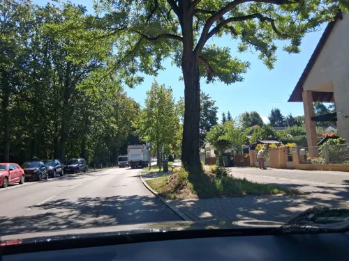
Sampor-Kaffee-Berlin
Cafe · Coffee Shop · 3.2 km
289 Ruppiner Chaussee, Berlin
We-Fr,Su 12:00-18:00; Sa 10:00-18:00; Mo,Tu off
Zur krummen Linde
Restaurant · German · 4.6 km
5a Dorfstraße, Hohen Neuendorf
Mo 16:00-22:00; Tu-Su 12:00-22:00

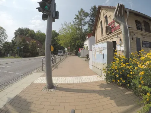


Die Buhne
Restaurant · 3.0 km
26 Dorfstraße, Hennigsdorf
Th,Fr 16:00-22:00; Sa 12:00-22:00; Su 12:00-22:00
Gaststätte Zum S-bahnwagon
Restaurant · German · 1.6 km
Mo-Tu 16:00-22:00; Fr 16:00-22:00; Sa-Su 15:00-22:00; We-Th off
73 more on the map.
History
The town was first mentioned in 1375, when it was part of the Bohemian Crown. Afterwards it was part of the Margraviate of Brandenburg, then of the Kingdom of Prussia from 1701, and of the German Empire from 1871. During World War II, in 1944, a subcamp of the Sachsenhausen concentration camp was established, in which some 650 women, mostly Polish, were imprisoned and subjected to forced labour. In April 1945, the subcamp was dissolved and the surviving prisoners were sent on a death march to the Ravensbrück concentration camp.
After the war, it formed part of East Germany. The municipality shared its borders with the former West Berlin, and so during the period 1961–1990 it was separated from it by the Berlin Wall.
In 1951/2, the Havel Canal was constructed to link Hennigsdorf with Paretz, thus avoiding a passage through the reach of the River Havel, between Spandau and Potsdam, that was under the political control of West Berlin. The canal is still in use, providing a shorter route for shipping from west of Berlin to the Oder–Havel Canal and Poland.
From the History section of Hennigsdorf on Wikipedia, under CC BY-SA 4.0.
Where to stay10
Zentralverein für das Wohl der Taubstummen in Berlin e.V. (gegründet 1849)
Motel and hotel · 2.7 km
11 Hennigsdorfer Straße, Berlin
Zimmervermietung Herms
Motel and hotel · 4.9 km
40b Bötzower Straße, Schönwalde-Glien
Churches and places of worship11
St. Marien Maternitas
Church · Catholic · 3.1 km
74-78 Schulzendorfer Straße, Berlin
Shopping26
Gas and EV charging11
Schools, colleges and libraries23
Healthcare9
Map of Hennigsdorf
238 places. The map loads OpenStreetMap tiles when you open it.
Getting there and nearby towns
Berlin Brandenburg Airport "Willy Brandt" (BER) is the nearest airport with scheduled flights listed in OpenStreetMap, 36 km away.
- Velten 6 km north, about 6 min by car
- Hohen Neuendorf 7 km northeast, about 7 min by car
- Oranienburg 13 km north, about 13 min by car
- Berlin 19 km southeast, about 19 min by car
- Wandlitz 21 km northeast, about 21 min by car
- Nauen 23 km west, about 23 min by car
- Kleinmachnow 25 km south, about 25 min by car
- Potsdam 28 km south, about 28 min by car
- Teltow 27 km south, about 27 min by car
- Stahnsdorf 28 km south, about 28 min by car
Drive times are estimates from straight-line distance, not routes.
Local news
Headlines from INDB.
Reviews, tips and questions
Loading what members have shared...
Sources and licences
- GeoNames (CC BY 4.0): population, coordinates, regions and time zone
- Mapillary (see each image): photos
- OpenStreetMap contributors (ODbL 1.0): places, airports, map data
- Wikidata (CC0 1.0): elevation, founding date, time zone, website, landmarks and historic places
- Wikimedia Commons (see each image): photos
- Wikipedia (CC BY-SA 4.0): overview and history text
Photo credits
- Neues Rathaus, Hennigsdorf, Florian Koppe, CC BY-SA 3.0
- Hennigsdorf, Postplatz, Jumbo1435, CC BY-SA 3.0
- Hennigsdorf preußischer Postmeilenstein Hinweistafel, ToFei, CC BY-SA 4.0
- Ehrenmal Opfer Faschismus Hennigsdorf 2022CF 01, Clemensfranz, CC BY-SA 4.0
- Brunnen Havelpassage Hennigsdorf 02, Singlespeedfahrer, CC0
- Brunnen Havelpassage Hennigsdorf 04, Singlespeedfahrer, CC0
- Brunnen Havelpassage Hennigsdorf 03, Singlespeedfahrer, CC0
- Brunnen Havelpassage Hennigsdorf 01, Singlespeedfahrer, CC0
- Ehrenmal für die Opfer des Faschismus (OdF) Infotafel Hennigsdorf, Singlespeedfahrer, CC0
- Hennigsdorf - KZ-Denkmal (Concentration Camp Memorial) - geo.hlipp.de - 41557, Colin Smith on geo.hlipp.de, CC BY-SA 2.0
- Ehrenmal Opfer Faschismus Hennigsdorf 2022CF 02, Clemensfranz, CC BY-SA 4.0
- Ehrenmal Opfer Faschismus Hennigsdorf 2022CF 03, Clemensfranz, CC BY-SA 4.0
- Bahnhof Hennigsdorf 06.06.2015 15-47-33, Dirk Ingo Franke, CC BY-SA 4.0
- Bahnhof Hennigsdorf 06.06.2015 15-47-23, Dirk Ingo Franke, CC BY-SA 4.0
- Bahnhof Hennigsdorf 06.06.2015 15-47-10, Dirk Ingo Franke, CC BY-SA 4.0
- Ehrenmal Opfer Faschismus Hennigsdorf 2022CF 04, Clemensfranz, CC BY-SA 4.0
- Storm Cloud over Bahnhof Hennigsdorf, Davidmoerike, CC0
- Hennigsdorf preußischer Postmeilenstein, ToFei, CC BY-SA 4.0
- Bahnhof Hennigsdorf (Hennigsdorf Railway Station) - geo.hlipp.de - 41556, Colin Smith on geo.hlipp.de, CC BY-SA 2.0
- Postplatz Hennigsdorf, Singlespeedfahrer, CC0
- Bahnhof Hennigsdorf 06.06.2015 15-55-12, Dirk Ingo Franke, CC BY-SA 4.0
- Clp 20150707 5085 91 80 6146 551-7 D-DB Hennigsdorf (b Berlin), Christian Liebscher, CC BY-SA 4.0
- Bahnhof Hennigsdorf 06.06.2015 15-55-29, Dirk Ingo Franke, CC BY-SA 4.0
- Clp 20141114 3837 94 80 0430 037-2 D-DB Hennigsdorf (b Berlin), Christian Liebscher, CC BY-SA 4.0
- Naturdenkmal Stieleiche Neuendorfstr. Bahnbrücke in Hennigsdorf 2024-06-28 04, Leonhard Lenz, CC0
- Naturdenkmal Stieleiche Neuendorfstr. Bahnbrücke in Hennigsdorf 2024-06-28 03, Leonhard Lenz, CC0
- Berlin-Frohnau Ludwig-Lesser-Park, Assenmacher, CC BY-SA 3.0
- Baumberge Berlin 11, Alexrk2, CC BY-SA 3.0
- Bötzowbahn at the Güterbahnhof Berlin-Spandau Johannesstift 01, Leonhard Lenz, CC BY-SA 4.0
- Dorfkirche Heiligensee 1, Bodo Kubrak, CC0
- Waldkirche Heiligensee, [1], CC BY-SA 3.0
- St. Marien 22.3.10, MacElch (Rainer Kunze), CC BY-SA 3.0
- Nieder Neuendorf church, Doris Antony , Berlin, CC BY-SA 4.0
- Schwimmhafenwiesen 2020-03-05 02, Leonhard Lenz, CC0
- Hennigsdorf Martin-Luther-church 2016 SE, Hans G. Oberlack, CC BY-SA 4.0
- Watchtower in Nieder Neuendorf 02, Leonhard Lenz, CC BY-SA 4.0
- Grenzturm-hdf, User:Thorbjoen, Public domain
- Stolperstein Ludolfingerweg 42 (Frohn) Rudolf Herzfeld, OTFW , Berlin, CC BY-SA 3.0
- Postplatz, Ehrenmal für die Opfer des Faschismus (OdF), Hennigsdorf, Florian Koppe, CC BY-SA 3.0
- Ladestation Kirchstraße Hennigsdorf, Notchronix, CC0
- Matt. Claudius 22.03.10, MacElch (Rainer Kunze), CC BY-SA 3.0
- Street-level photo, macsico, CC BY-SA 4.0
- Street-level photo, DBSEV_SBB, CC BY-SA 4.0
- Street-level photo, jacobbraeutigam, CC BY-SA 4.0
- Street-level photo, Langfahrer, CC BY-SA 4.0
- Street-level photo, DBSEV_SBB, CC BY-SA 4.0
- Street-level photo, moenk, CC BY-SA 4.0
- Street-level photo, kartonage, CC BY-SA 4.0
- Street-level photo, DBSEV_SBB, CC BY-SA 4.0
- Street-level photo, jacobbraeutigam, CC BY-SA 4.0
- Street-level photo, bufonto, CC BY-SA 4.0
- Street-level photo, mar_k83, CC BY-SA 4.0
- Street-level photo, kartonage, CC BY-SA 4.0
- Street-level photo, kartonage, CC BY-SA 4.0
- Street-level photo, kartonage, CC BY-SA 4.0
- Street-level photo, mar_k83, CC BY-SA 4.0
- Street-level photo, dsmm, CC BY-SA 4.0
- Street-level photo, kartonage, CC BY-SA 4.0
- Street-level photo, carlheinz, CC BY-SA 4.0
- Street-level photo, macsico, CC BY-SA 4.0


Page built November 8, 2026. Spotted a mistake? Tell us or suggest a place.