


Herxheim am Berg, Germany
Herxheim am Berg is a town of 10,424 people in Rheinland-Pfalz, Germany.
Why visit Herxheim am Berg
Townapedia lists 9 museums and landmarks, 6 parks and trails, 75 places to eat, 15 places to stay and 2 attractions in and around town.
Highlights include Spielzeugmuseum, Kriemhildenstuhl, Felsenberg-Berntal and Golfgarten Deutsche Weinstraße.
Weather in Herxheim am Berg
Forecast from MET Norway (CC BY 4.0). Full forecast
About Herxheim am Berg
Herxheim am Berg is an Ortsgemeinde – a municipality belonging to a Verbandsgemeinde, a kind of collective municipality – in the Bad Dürkheim district in Rhineland-Palatinate, Germany.
From the Wikipedia article Herxheim am Berg (this version), under CC BY-SA 4.0.
Things to do2


Museums and landmarks9

Spielzeugmuseum
Museum · 2.4 km
9 An der Bach, Freinsheim
Mar-Oct: 14:00-18:00; Nov-Mar: Sa,Su,PH 14:00-18:00

Kriemhildenstuhl
Monument and historic site · 5.2 km
Old Roman quarry in Germany


Kriegerdenkmal 1914/18
Monument and historic site · 1.4 km
Kriegerdenkmal 1914/18, anspruchsvolle Schauwand mit Brünnchen und Figuren, um 1930



Parks, trails and playgrounds6




Restaurants and cafes75
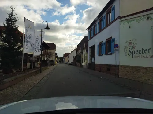
Speeter
Restaurant · Regional · 1.8 km
8a Leistadter Straße, Weisenheim am Berg
Mo-Tu 17:00-22:00; We-Th off; Fr-Su 12:00-22:00
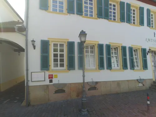
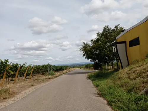
Gutsausschank Petri
Restaurant · German
79 Weinstraße, Herxheim am Berg
Mo,Tu 17:00-21:30; Sa,Su 12:00-21:30; Fr 14:00-21:30
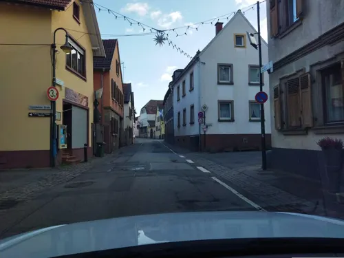
LILO'S Woistubb im Weinhaus Hebel
Restaurant · Regional · 2.3 km
41 Hauptstraße, Bad Dürkheim
Apr-Oct: Sa 17:00+, Su,PH 12:00+, Mo-We 17:00+; Apr-Oct: Th,Fr...

3 König
Restaurant · Regional · 2.4 km
23 Hauptstraße, Freinsheim
Mo-Fr 12:00-14:30,17:00-22:00; We off; Sa,Su 11:30-22:00
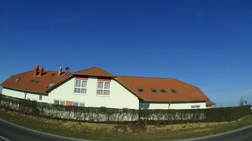
Restaurant - Café Golfgarten Dackenheim
Restaurant · German, Regional · 1.7 km
40 Kirchheimer Straße, Dackenheim
Mo-Su 11:00-21:00

Spielzeughaus - Museum & Cafe
Ice cream · 2.4 km
9 An der Bach, Freinsheim
Mar-Oct: 14:00-18:00; Nov-Mar: Sa,Su,PH 14:00-18:00

Weingut Brenneis-Koch
Brewery and winery · 2.3 km
2 Freinsheimer Straße, Bad Dürkheim
Mo-Sa 08:00-18:00
Weingut Friedhelm Neu
Brewery and winery · 2.1 km
3 Weidenhof, Bad Dürkheim
Mo,Th,Fr 15:00-18:00; Sa,Su 11:00-17:00; Tu,We off
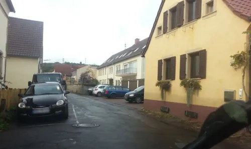
Weingut am Nil
Restaurant · 1.8 km
21 Neugasse, Kallstadt
We-Fr 16:00-22:00,Sa 15:00-22:00,Su 12:00-21:00
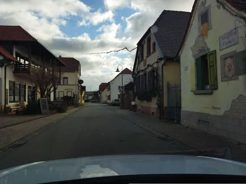
Weinhaus am Sonnenberg
Brewery and winery · 1.8 km
10 Leistadter Straße, Weisenheim am Berg
Mo,We-Fr 09:00-18:00; Sa-Su 10:00-16:00, Tu off
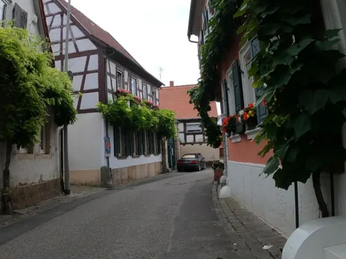


Weinstube an der Bach
Restaurant · Traditional · 2.4 km
Pfälzerische Küche
Mo-Sa 14:00-23:00; Tu off; We off; Su 11:30-22:00
63 more on the map.
History
In 774, the municipality had its first documentary mention as Heriesheim.
The municipality's landmark is the roughly one-thousand-year-old Evangelical church of St Jacob (St. Jakobskirche). The building contains the lower section of a quire tower with a groin-vaulted chancel onto which is built a semicircular apse. The church was built about 1014, making it one of the Palatinate's oldest ecclesiastical buildings. The nave dates to 1729. In the chancel, wall paintings have been brought to light showing the Four Evangelists, both in human shape with wings and with the heads of their symbols. In the apse's vaulting there was a representation of the Last Judgement, and on the south wall, one can see the Apostle Paul. The paintings were done in the latter half of the 14th century.
The church tower contains a bell installed in 1934 and bearing a swastika and an inscription to Adolf Hitler. In 2018, after a complaint by the organist and an offer by the regional church organisation to replace the bell, the parish council voted to retain it as a memorial with an explanatory plaque.
From the History section of Herxheim am Berg on Wikipedia, under CC BY-SA 4.0.
Where to stay15
Churches and places of worship12
Protestantische Kirche Weisenheim am Berg
Church · Protestant · 1.8 km
6 Kirchgasse, Weisenheim am Berg
protestantische Pfarrkirche
Church · Protestant · 2.5 km
1 Herrenstraße, Freinsheim
Katholische Pfarrkirche St. Maria Immaculata
Church · Catholic · 1.5 km
1 Kirchenstraße, Dackenheim
Protestantische Kirche
Church · Protestant · 1.4 km
3 Schulstraße, Dackenheim
Shopping4
Gas and EV charging1
Schools, colleges and libraries4
von Carlowitz Realschule Plus Weisenheim am Berg
School · 2.4 km
27 B Neumayerstraße, Weisenheim am Berg
Healthcare3
Map of Herxheim am Berg
131 places. The map loads OpenStreetMap tiles when you open it.
Getting there and nearby towns
City-Airport Mannheim (MHG) is the nearest airport with scheduled flights listed in OpenStreetMap, 24 km away.
- Mutterstadt 15 km southeast, about 15 min by car
- Neustadt an der Weinstraße 18 km south, about 18 min by car
- Limburgerhof 18 km southeast, about 18 min by car
- Ludwigshafen am Rhein 20 km east, about 20 min by car
- Worms 19 km northeast, about 19 min by car
- Schifferstadt 20 km southeast, about 20 min by car
- Mannheim 21 km east, about 21 min by car
- Lampertheim 23 km northeast, about 23 min by car
- Bürstadt 25 km northeast, about 25 min by car
- Speyer 28 km southeast, about 28 min by car
Drive times are estimates from straight-line distance, not routes.
Local news
Headlines from INDB.
Reviews, tips and questions
Loading what members have shared...
Sources and licences
- GeoNames (CC BY 4.0): population, coordinates, regions and time zone
- Mapillary (see each image): photos
- OpenStreetMap contributors (ODbL 1.0): places, airports, map data
- Wikidata (CC0 1.0): elevation, founding date, time zone, website, landmarks and historic places
- Wikimedia Commons (see each image): photos
- Wikipedia (CC BY-SA 4.0): overview and history text
Photo credits
- Herxheim am Berg restaurant Honigsack 031, Jacquesverlaeken, CC BY-SA 4.0
- Herxheim am Berg Pfaffenhof15 Werner Holz fresco 067, Jacquesverlaeken, CC BY-SA 4.0
- Herxheim am Berg Pfaffenhof stairs in cellar 073, Jacquesverlaeken, CC BY-SA 4.0
- Herxheim am Berg Pfaffenhof7 loggia 074, Jacquesverlaeken, CC BY-SA 4.0
- Herxheim am Berg Hauptstrasse38 Portal 065, Jacquesverlaeken, CC BY-SA 4.0
- Herxheim am Berg Archeology Spitzaxt Perforated hammer 063, Jacquesverlaeken, CC BY-SA 4.0
- Herxheim am Berg Dorfgemeinschaftshaus 071, Jacquesverlaeken, CC BY-SA 4.0
- Herxheim am Berg Weinstrasse1 043, Jacquesverlaeken, CC BY-SA 4.0
- Herxheim am Berg vineyards, 2014 (02), Bahnfrend, CC BY-SA 4.0
- Herxheim am Berg vineyards, 2014 (01), Bahnfrend, CC BY-SA 4.0
- Herxheim am Berg vineyards, 2014 (03), Bahnfrend, CC BY-SA 4.0
- Herxheim am Berg Felsenberg-Berntal Nature Reserve flowers 042, Jacquesverlaeken, CC BY-SA 4.0
- Herxheim am Berg Felsenberg-Berntal Nature Reserve thistles 041, Jacquesverlaeken, CC BY-SA 4.0
- Herxheim am Berg Felsenberg-Berntal Nature Reserve orchid 039, Jacquesverlaeken, CC BY-SA 4.0
- Herxheim am Berg vineyardsHonigsack Kallstadt 40, Jacquesverlaeken, CC BY-SA 4.0
- KriemhildenstuhlMR2, Maik Riede, CC BY-SA 4.0
- Berntal, Wofl, CC BY 3.0
- Herxheim am Berg 05, Immanuel Giel, CC BY-SA 3.0
- Bing Museum Freinsheim, Bing1512, CC BY 3.0
- Salvatorkirche Kallstadt, Altera levatur, CC0
- Weisenheim Berg Prot. Kirche 3, Altera levatur, CC0
- Freinsheim BW 24, Berthold Werner, CC BY-SA 3.0
- Katholische Kirche Weisenheim am Berg 04, Immanuel Giel, CC BY-SA 3.0
- Dackenheim Wegekreuz, Wegavision, CC BY-SA 4.0
- Fachwerkhäuschen in Freinsheim, Rolohauck, CC BY-SA 4.0
- Herxheim am Berg Kirche von Osten, Altera levatur, CC BY-SA 4.0
- Protestantische Kirche Freinsheim 4, LoKiLeCh, CC BY-SA 4.0
- Dackenheim Kriegerdenkmal, Wegavision, CC BY-SA 4.0
- Der Tag naht, Erdenseelen, CC BY 4.0
- Felsenberg Herxheim, Altera levatur, CC BY-SA 4.0
- Schmetterlingspaarung, Erdenseelen, CC BY 4.0
- 2016.09.24.-07-Leistadt--Naturschutzgebiet Felsenberg-Berntal, Andreas Eichler, CC BY-SA 4.0
- 2016.09.24.-08-Leistadt--Naturschutzgebiet Felsenberg-Berntal, Andreas Eichler, CC BY-SA 4.0
- Reben Spalier Kallstadt, Kmtextor, CC BY 4.0
- Hoftor in Dackenheim - panoramio, Immanuel Giel, CC BY 3.0
- Katholische Pfarrkirche St. Maria - panoramio, Immanuel Giel, CC BY 3.0
- Haintor - panoramio, Immanuel Giel, CC BY 3.0
- Freinsheim-Stadtmauer-Nacht, Kmtextor, CC BY-SA 4.0
- Street-level photo, changchun1, CC BY-SA 4.0
- Street-level photo, atze02, CC BY-SA 4.0
- Street-level photo, wegavision, CC BY-SA 4.0
- Street-level photo, changchun1, CC BY-SA 4.0
- Street-level photo, NorMan61, CC BY-SA 4.0
- Street-level photo, wegavision, CC BY-SA 4.0
- Street-level photo, ramap, CC BY-SA 4.0
- Street-level photo, atze02, CC BY-SA 4.0
- Street-level photo, changchun1, CC BY-SA 4.0
- Street-level photo, changchun1, CC BY-SA 4.0
- Street-level photo, wegavision, CC BY-SA 4.0
- Street-level photo, atze02, CC BY-SA 4.0
- Street-level photo, atze02, CC BY-SA 4.0
- Street-level photo, wegavision, CC BY-SA 4.0
- Street-level photo, mfa, CC BY-SA 4.0
- Street-level photo, mfa, CC BY-SA 4.0
- Street-level photo, changchun1, CC BY-SA 4.0
- Street-level photo, changchun1, CC BY-SA 4.0
- Street-level photo, wegavision, CC BY-SA 4.0
- Street-level photo, atze02, CC BY-SA 4.0
- Street-level photo, atze02, CC BY-SA 4.0
- Street-level photo, ramap, CC BY-SA 4.0
- Street-level photo, wegavision, CC BY-SA 4.0


Page built November 8, 2026. Spotted a mistake? Tell us or suggest a place.