


Why visit Heusenstamm
Townapedia lists 43 museums and landmarks, 40 parks and trails, 128 places to eat, 9 places to stay and 7 attractions in and around town.
Highlights include Autokino Gravenbruch, Waldzoo Offenbach, Hofgut Patershausen and Burg im Hain.
Weather in Heusenstamm
Forecast from MET Norway (CC BY 4.0). Full forecast
About Heusenstamm
Heusenstamm (German pronunciation: [ˈhɔʏzn̩ˌʃtam] ) is a town of over 19,000 people as of 2025 in the Offenbach district in the Regierungsbezirk of Darmstadt in Hesse, Germany.
From the Wikipedia article Heusenstamm (this version), under CC BY-SA 4.0.
Things to do7



Rücker's Hofladen
Farm and orchard · 3.8 km
Verkauf von Obst, Gemüse, Schwein aus eigener Herstelleung
11 Hauptstraße, Heusenstamm
Mo-Fr 08:30-12:00,14:00-18:00; Sa 09:00-12:00; Tu off

Eier Automat 24/7
Farm and orchard · 3.3 km
Eier, Eiernudeln und ein öffentlicher Bücherschrank
24/7

Museums and landmarks43

Hofgut Patershausen
Monument and historic site · 2.4 km
1 Patershäuser Weg, Heusenstamm
Th 15:00-19:00; Fr,Sa 09:30-13:00
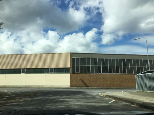



Mühle der Wüstung Renigishausen
Monument and historic site · 1.4 km
Mauerreste einer mittelalterlichen/frühneuzeitlichen Mühle
24/7

Sammlungsdepot des Museums für Kommunikation Frankfurt
Museum · 0.7 km
4-8 Philipp-Reis-Straße, Heusenstamm
Fr[1] 14:00-15:30 "Führung nach Anmeldung möglich, Führungen für...

SkulpTouren Park
Monument and historic site · 4.0 km
Ansammlung von vier Kunstwerken (Skulpturen) von vier Künstlern mit dem Motto "Kreativ das Leben leben - Kunst im Dialog mit den Generationen"
24/7


31 more on the map.
Parks, trails and playgrounds40





Spielplatz Am Stiergraben West
Playground · 3.7 km
Kinderspielplatz für Personen bis 14 Jahren
07:00-22:00

28 more on the map.
Restaurants and cafes128

San Marino
Restaurant · Italian
Italienische Speisen, aber keine Pizza
74 Frankfurter Straße, Heusenstamm
Tu-Su 17:30-22:30; Sa, Su 11:30-17:30
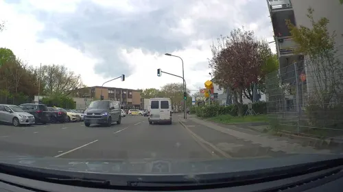
Bindinggarten-Sportgaststätte
Restaurant · Croatian · 4.0 km
1 Bindingweg, Heusenstamm
Tu,Th,Sa 16:00-23:00; We,Fr 11:30-14:00,16:00-23:00; Su 10:00-23:00
Gasthaus Obermühle
Restaurant · Regional · 3.0 km
63 Obermühlstraße, Offenbach am Main
Oct-Mar: Su 11:00-22:00; Oct-Mar: We-Sa 17:00-23:00; Apr-Sep: Su...
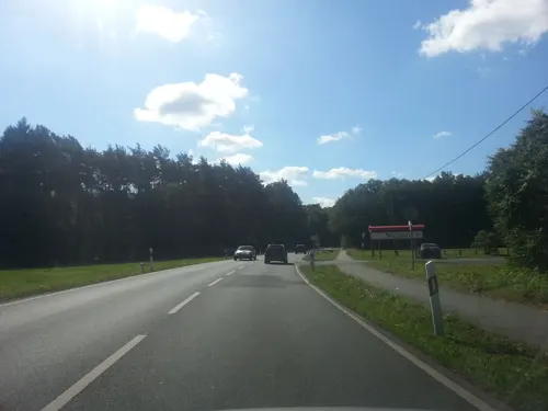
Gaumenschmaus Hähnchen
Restaurant · Chicken · 3.3 km
9 Am Forsthaus Gravenbruch, Neu-Isenburg
Fr 11:30-16:00
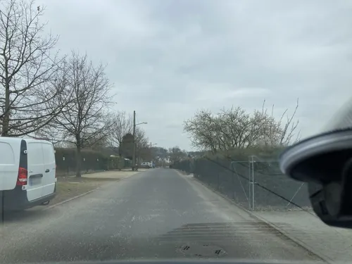
Gospoda am Wetterpark
Restaurant · Polish · 4.0 km
3 Am Wetterpark, Offenbach am Main
Tu-Su 12:00-22:00
HesseWirtschaft
Restaurant · Regional · 3.9 km
70 Auf der Rosenhöhe, Offenbach am Main
Tu-Fr 12:00-14:30,17:00-22:00; Sa 12:00-22:00; Su 12:00-21:00
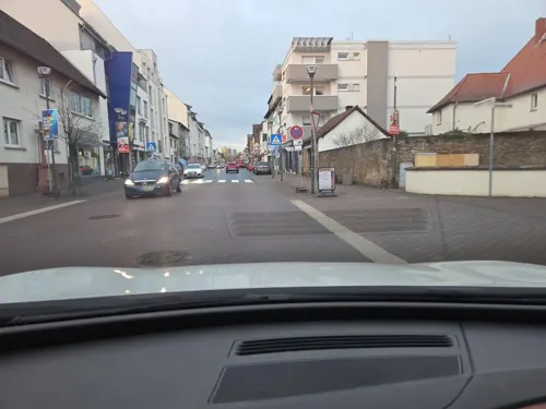
Leone D'Oro
Restaurant · Italian · 0.6 km
5 Schloßstraße, Heusenstamm
Mo off; Tu-Su 11:30-14:30,17:30-22:30
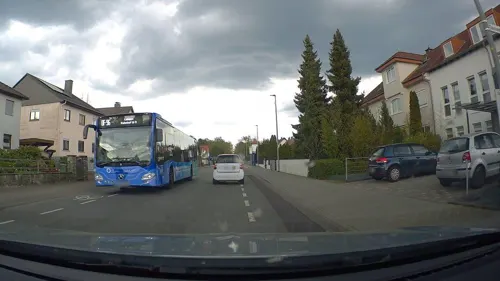
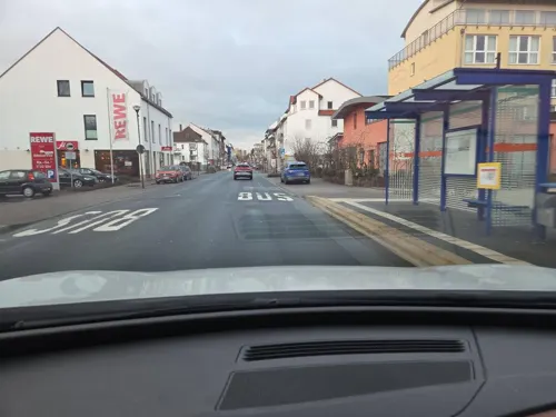


MaRo
Restaurant · German, International · 0.8 km
9 Frankfurter Straße, Heusenstamm
Mo-Fr 11:30-14:00,17:30-22:00; Sa 17:30-22:00
116 more on the map.
History
In 1211, Heusenstamm had its first documentary mention in an Eppstein fief book in which Gottfried of Eppstein documented that he held the castle and village of Huselstam in fief from the Empire and that he had further bestowed these holdings upon Eberhard Waro von Hagen-Heusenstamm. The place was later called Husinstam and, beginning in the 15th century, Heussenstain. About the middle of the 12th century, Eberhard Waro von Hagen-Heusenstamm had a moated castle built here. From the Middle Ages until 1819, Heusenstamm and Rembrücken belonged to the Biebermark, an area held in common with several other villages.
After the Lords of Eppstein died out, their position was filled by the new feudal lords, the Counts of Königstein, and later, beginning in 1581, by the Elector of Mainz. In 1545, Sebastian von Heusenstamm was chosen Archbishop-Elector of Mainz. In 1560 Eberhard von Heusenstamm gave leave to introduce Protestantism, but Roman Catholicism was reintroduced in 1607.
From the History section of Heusenstamm on Wikipedia, under CC BY-SA 4.0.
Where to stay9
Churches and places of worship21
Kirche der Evangelischen Kirchengemeinde Gravenbruch
Church · Protestant · 3.6 km
8 Dreiherrnsteinplatz, Neu-Isenburg
Aller Heiligen
Church · Greek Orthodox · 3.4 km
42 Gersprenzweg, Offenbach am Main
Lutherkirche
Church · Protestant · 3.8 km
54 Aschaffenburger Straße, Offenbach am Main
Mariä Opferung
Church · Catholic · 3.8 km
30 Hauptstraße, Heusenstamm
Freie evangelische Gemeinde Heusenstamm (FeG)
Church · Protestant · 0.9 km
15 Weiskircher Weg, Heusenstamm
Shopping29
Gas and EV charging11
Tankcenter Bieberer Berg
Gas station · 4.0 km
96 Aschaffenburger Straße, Offenbach am Main
Schools, colleges and libraries32
Healthcare16
Dialysezentrum Heusenstamm - Seligenstadt
Clinic and pharmacy · 1.0 km
10 Ernst-Leitz-Straße, Heusenstamm
PANACEUM Medizinisches Versorgungszentrum
Clinic and pharmacy · 0.8 km
10 Niederröder Weg, Heusenstamm
Map of Heusenstamm
250 places. The map loads OpenStreetMap tiles when you open it.
Getting there and nearby towns
Frankfurt Airport (FRA) is the nearest airport with scheduled flights listed in OpenStreetMap, 19 km away.
- Obertshausen 4 km northeast, about 4 min by car
- Offenbach 6 km northwest, about 6 min by car
- Mühlheim am Main 7 km north, about 7 min by car
- Neu-Isenburg 8 km west, about 8 min by car
- Frankfurt am Main 11 km northwest, about 11 min by car
- Maintal 11 km north, about 11 min by car
- Langen 12 km southwest, about 12 min by car
- Seligenstadt 12 km east, about 12 min by car
- Erlensee 17 km northeast, about 17 min by car
- Dieburg 18 km south, about 18 min by car
Drive times are estimates from straight-line distance, not routes.
Local news
Headlines from INDB.
Reviews, tips and questions
Loading what members have shared...
Sources and licences
- GeoNames (CC BY 4.0): population, coordinates, regions and time zone
- Mapillary (see each image): photos
- OpenStreetMap contributors (ODbL 1.0): places, airports, map data
- Wikidata (CC0 1.0): elevation, founding date, time zone, website, landmarks and historic places
- Wikimedia Commons (see each image): photos
- Wikipedia (CC BY-SA 4.0): overview and history text
Photo credits
- Heusenstamm Luftbild 003, Fritz Geller-Grimm, CC BY-SA 3.0
- Heusenstamm BW 2013-06-18 15-27-27, Berthold Werner, CC BY-SA 3.0
- Heusenstamm BW 2013-06-18 15-22-49, Berthold Werner, CC BY-SA 3.0
- Heusenstamm AdalbertStifterSchule02 KUG DSC06216 SN, KUGerhardt, CC BY-SA 4.0
- Heusenstamm Gustav-Adolf-Kirche, C. M., CC BY-SA 4.0
- Ringstrasse und S-Bahn Heusenstamm, 3jaykay, CC0
- Feldstraße 12, 1, Heusenstamm, Landkreis Offenbach, GeorgDerReisende, CC BY-SA 4.0
- Stolperstein Fanny Reinhardt, 1, Feldstraße 12, Heusenstamm, Landkreis Offenbach, GeorgDerReisende, CC BY-SA 4.0
- Stolperstein Amalie Reinhardt, 1, Feldstraße 12, Heusenstamm, Landkreis Offenbach, GeorgDerReisende, CC BY-SA 4.0
- Stolperstein Selma Reinhardt, 1, Feldstraße 12, Heusenstamm, Landkreis Offenbach, GeorgDerReisende, CC BY-SA 4.0
- Stolpersteinlage, 1, Feldstraße 12, Heusenstamm, Landkreis Offenbach, GeorgDerReisende, CC BY-SA 4.0
- Stolperstein Sally Reinhardt, 1, Feldstraße 12, Heusenstamm, Landkreis Offenbach, GeorgDerReisende, CC BY-SA 4.0
- Heusenstamm Maria Himmelskron Kreuzweg, C. M., CC BY-SA 4.0
- Heusenstamm Bahnhof03 KUG DSC06211 SN, KUGerhardt, CC BY-SA 4.0
- Heusenstamm Bahnhof 20070903, Rudolf Stricker, Public domain
- Stolperstein Helmut Jonas Rollmann, 1, Schulstraße 3, Heusenstamm, Landkreis Offenbach, GeorgDerReisende, CC BY-SA 4.0
- Stolperstein Hugo Rollmann, 1, Schulstraße 3, Heusenstamm, Landkreis Offenbach, GeorgDerReisende, CC BY-SA 4.0
- Stolperstein Jenny Rollmann, 1, Schulstraße 3, Heusenstamm, Landkreis Offenbach, GeorgDerReisende, CC BY-SA 4.0
- Stolperstein Rosa Rollmann, 1, Schulstraße 3, Heusenstamm, Landkreis Offenbach, GeorgDerReisende, CC BY-SA 4.0
- Stolpersteinlage, 1, Schulstraße 3, Heusenstamm, Landkreis Offenbach, GeorgDerReisende, CC BY-SA 4.0
- Eckgasse 2, 1, Heusenstamm, Landkreis Offenbach, GeorgDerReisende, CC BY-SA 4.0
- Heusenstamm BW 2013-06-18 15-24-28, Berthold Werner, CC BY-SA 3.0
- Stolpersteinlage, 1, Eckgasse 2, Heusenstamm, Landkreis Offenbach, GeorgDerReisende, CC BY-SA 4.0
- Stolperstein Julius Rollmann, 1, Eckgasse 2, Heusenstamm, Landkreis Offenbach, GeorgDerReisende, CC BY-SA 4.0
- Stolperstein Sarah Rollmann, 1, Eckgasse 2, Heusenstamm, Landkreis Offenbach, GeorgDerReisende, CC BY-SA 4.0
- Heusenstamm St, Rudolf Stricker, Public domain
- Heusenstamm Torbau 1, Mueck at German Wikipedia, CC BY-SA 2.0 de
- Heusenstamm Torbau 2, Mueck at German Wikipedia, CC BY-SA 2.0 de
- Heusenstamm GesamtanlageKirch-Schlossstr 02 KUG DSC06221 SN, KUGerhardt, CC BY-SA 4.0
- Heusenstamm Cäcilia 1, Mueck at German Wikipedia, CC BY-SA 2.0 de
- Heusenstamm BW 2013-06-18 15-28-34, Berthold Werner, CC BY-SA 3.0
- Heusenstamm Kreuz04, R.Raab, CC BY-SA 4.0
- Heusenstamm BW 2013-06-18 15-19-13, Berthold Werner, CC BY-SA 3.0
- Heusenstamm BW 2013-06-18 15-20-50, Berthold Werner, CC BY-SA 3.0
- Heusenstamm BW 2013-06-18 15-18-20, Berthold Werner, CC BY-SA 3.0
- Klingspor-Museum, diba, CC BY-SA 2.0 de
- HfG Offenbach 03, diba, CC BY-SA 3.0 de
- Autokino gravenbruch, Popie ( de:Benutzer:Popie ), CC BY-SA 3.0
- Stadt Heusenstamm - Nachtweide von Patershausen (nördlich), GreylanderPhotography, CC BY-SA 4.0
- Heusenstamm Patershausen Grabplatte der Elisabeth Brendel von Homburg, Agridecumantes, Public domain
- Heusenstamm Schloss Rathaus, Oliver Ruehl, CC BY-SA 3.0
- Naturschutzgebiet Erlensteg von Bieber, J11german, CC BY-SA 3.0
- NSG Willersinn´sche Grube bei Dietzenbach, KUGerhardt, CC BY-SA 4.0
- Kath. Kirche Mariä Opferung Rembrücken, Raab, Attribution
- A Bau v Leibnizstraße, TKrahn, CC BY-SA 4.0
- Maria Himmelskron Heusenstamm Außenansicht, C. M., CC BY-SA 4.0
- Bieber, Mauerfeldstraße 4 und 8, Karsten Ratzke, CC0
- Evangelische Kirche Gravenbruch Kirchenkubus Südansicht, C. M., CC BY-SA 4.0
- Totholz im Hengster, KUGerhardt, CC BY-SA 4.0
- Heusenstamm NSG See am Goldberg, Agridecumantes, Public domain
- Museum für Kommunikation Frankfurt (2007), Konrad Kurzacz, CC BY-SA 3.0
- Waldzoo Offenbach 3, Lady Whistler (Special Thx to Lilith-Denoire), CC BY-SA 3.0 de
- Stolperstein Adam Pfeifer, 1, Philipp-Reis-Straße 23, Bieber, Offenbach am Main, GeorgDerReisende, CC BY-SA 4.0
- Stolperstein Dr. Julius Wolf, 1, Poststraße 8, Bieber, Offenbach am Main, GeorgDerReisende, CC BY-SA 4.0
- Street-level photo, poxonline, CC BY-SA 4.0
- Street-level photo, jurgenweighardt, CC BY-SA 4.0
- Street-level photo, MJ2026, CC BY-SA 4.0
- Street-level photo, MJ2026, CC BY-SA 4.0
- Street-level photo, MJ2026, CC BY-SA 4.0
- Street-level photo, wegavision, CC BY-SA 4.0
- Street-level photo, poxonline, CC BY-SA 4.0
- Street-level photo, poxonline, CC BY-SA 4.0
- Street-level photo, poxonline, CC BY-SA 4.0
- Street-level photo, poxonline, CC BY-SA 4.0
- Street-level photo, foxman, CC BY-SA 4.0
- Street-level photo, robffm, CC BY-SA 4.0
- Street-level photo, foxman, CC BY-SA 4.0
- Street-level photo, foxman, CC BY-SA 4.0
- Street-level photo, chuck, CC BY-SA 4.0
- Street-level photo, MJ2026, CC BY-SA 4.0
- Street-level photo, jurgenweighardt, CC BY-SA 4.0
- Street-level photo, chuck, CC BY-SA 4.0
- Street-level photo, poxonline, CC BY-SA 4.0
- Street-level photo, poxonline, CC BY-SA 4.0
- Street-level photo, flidolin, CC BY-SA 4.0
- Street-level photo, poxonline, CC BY-SA 4.0
- Street-level photo, foxman, CC BY-SA 4.0
- Street-level photo, poxonline, CC BY-SA 4.0


Page built November 8, 2026. Spotted a mistake? Tell us or suggest a place.