


Maintal, Germany
Maintal is a town of 38,987 people in Hesse, Germany, founded in July 1, 1974.
Why visit Maintal
Townapedia lists 69 museums and landmarks, 63 parks and trails, 196 places to eat, 16 places to stay and 11 attractions in and around town.
Highlights include Hühnerberg, Hof Steup, GrimmsMärchenReich and Hessisches Puppenmuseum.
Weather in Maintal
Forecast from MET Norway (CC BY 4.0). Full forecast
About Maintal
Maintal (German pronunciation: [ˈmaɪntaːl] , lit. 'Main Valley') is the second largest town of the Main-Kinzig district, in Hesse, Germany. It is situated on the river Main, between Frankfurt am Main and Hanau.
From the Wikipedia article Maintal (this version), under CC BY-SA 4.0.
Photos of Maintal


Things to do11



Hof Steup
Farm and orchard · 2.1 km
1 Gräbenwiesen, Maintal
Tu-Th 13:30-17:30; Fr 09:30-17:30; Sa 09:30-17:00; Su, PH 12:00-17:00
Hofgut Hanstein
Farm and orchard · 2.8 km
13 Alt Wachenbuchen, Maintal
Fr 09:00-11:30,15:00-17:00; Sa 09:00-12:30; PH off
Hofladen und Partyservice Weinberghof
Farm and orchard · 0.7 km
18 Weinbergstraße, Maintal
Th-Fr 08:30-13:00,15:00-18:00; Sa 08:30-12:00; PH off
Schelmenhäuser Hofgut
Farm and orchard · 4.3 km
1, Frankfurt am Main
Apr-Jul Mo-Sa 09:00-19:00; Apr-Jul Su,PH 09:00-18:00


Museums and landmarks69


Historisches Museum Hanau Schloss Philippsruhe
Museum · 4.9 km
45 Philippsruher Allee, Hanau
Tu-Su 11:00-18:00


Rumpenheimer Schloss
Monument and historic site · 3.0 km
Mehrfach erweitert und genutzt bis 1902, danach Verfall. Ab den 1980er Jahren Sicherungsmaßnahmen und später bis 2002 Umbau zu Wohnungen.

Schloss Philippsruhe
Monument and historic site · 4.9 km
45 Philippsruher Allee, Hanau

Hagen castle
Monument and historic site · 6.2 km
Archaeological site in Hesse, Germany



Historisches Rathaus Hochstadt
Museum
1 Am Rathaus, Maintal
Tu,Sa-Su 15:00-18:00
57 more on the map.
Parks, trails and playgrounds63



Golf Club Hanau-Wilhelmsbad
Golf course · 4.3 km
1a Franz-Ludwig-von-Cancrin-Weg, Hanau
Mar Tu-Su 09:00-17:00; Apr Mo-Su 09:00-17:00; May-Oct Mo-Th...

Stammesheim Wildwasser
Park · 4.5 km
Das Vereinsheim der Hanauer Pfadfinder vom Stamm Wildwasser (BdP) mit seinem riesigen Aussengelände. Weitere Infos auf der Webseite
90 Frankfurter Landstraße, Hanau


51 more on the map.
Restaurants and cafes196
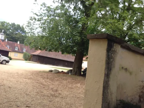
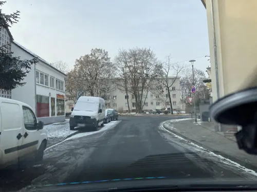
Bürgerhaus Rumpenheim
Restaurant · German, Greek · 3.5 km
2 Pfaffenweg, Offenbach am Main
Mo-Sa 17:00-24:00, Su,PH 11:30-24:00
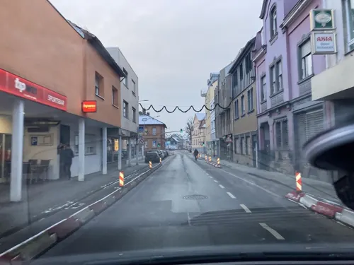
ASIA Bistro Restaurant
Restaurant · Asian · 2.8 km
1a Offenbacher Straße, Mühlheim am Main
Mo-Fr 11:30-14:30,17:30-21:30; Su 12:00-14:30,17:30-21:30; Sa off;...
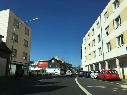
Al Mulino
Restaurant · Italian · 2.9 km
14 Offenbacher Straße, Mühlheim am Main
Mo-Fr 11:30-14:30,16:30-21:30;Sa 16:30-21:30;Su 12:00-20:30
Alte Wagnerei
Restaurant · German · 3.0 km
5 Zimmerstraße, Mühlheim am Main
Tu-Fr 11:30-14:30, 17:00-23:00;Sa 17:00-23:00;Su 11:30-23:00
Bootshaus Bürgel
Restaurant · Greek · 5.2 km
Bei stark regnerischen Wetter geschlossen.
We-Fr 17:00-23:00; Sa,Su,PH 12:00-23:00; Mo,Tu off
Dubrovnik
Restaurant · Croatian · 2.5 km
13 Schulstraße, Maintal
Mo,We-Sa 17:00-23:00; Su 11:00-14:30,17:00-23:00
Emma's Steakhaus Hanau
Restaurant · Steak House · 4.9 km
17 Jakob-Rullmann-Straße, Hanau
Mo-Sa 17:30-23:00

Bürgerhaus
Restaurant · Regional
21 Ringstraße Süd, Maintal
Mo-Fr 11:15-13:00,17:00-22:00; Sa-Su 17:00-22:00; PH off
Ebbelwei-Schänke
Restaurant · Wine
1 Am Rathaus, Maintal
Mo-Tu 17:00-21:00; Th-Sa 17:00-21:00; Su 12:00-20:00; PH off
184 more on the map.
History
The city was artificially created in 1974 in the course of the Hessian administration reform by merging the city of Dörnigheim (now Maintal's biggest district) with the nearby towns of Bischofsheim, Hochstadt and Wachenbuchen.
From the History section of Maintal on Wikipedia, under CC BY-SA 4.0.
More about Maintal
Geography
The neighbouring countries of Maintal are Niederdorfelden and Schöneck in the north, the city of Hanau in the East, Mühlheim am Main and Offenbach am Main on the other bank of the river Main as well as Frankfurt am Main in the west.
Maintal consists of the four districts Dörnigheim, Bischofsheim, Hochstadt (seat of city-administration) and Wachenbuchen.
From the Wikipedia article Maintal, under CC BY-SA 4.0.
Where to stay16
Churches and places of worship34
Schlosskirche Rumpenheim
Church · Protestant · 3.0 km
4 Schloßgartenstraße, Offenbach am Main
Evangelische Kirche Dörnigheim
Church · Protestant · 2.2 km
20 Kirchgasse, Maintal
Friedenskirche
Church · Protestant · 3.1 km
13 Mozartstraße, Mühlheim am Main
Friedenskirche
Church · Protestant · 5.0 km
48 Philippsruher Allee, Hanau
Shopping40
Gas and EV charging16
Schools, colleges and libraries40
Healthcare18
Map of Maintal
250 places. The map loads OpenStreetMap tiles when you open it.
Getting there and nearby towns
Frankfurt Airport (FRA) is the nearest airport with scheduled flights listed in OpenStreetMap, 25 km away.
- Mühlheim am Main 4 km south, about 4 min by car
- Hanau am Main 6 km east, about 6 min by car
- Bruchköbel 7 km northeast, about 7 min by car
- Offenbach 7 km southwest, about 7 min by car
- Bad Vilbel 8 km northwest, about 8 min by car
- Obertshausen 9 km south, about 9 min by car
- Karben 10 km northwest, about 10 min by car
- Nidderau 10 km north, about 10 min by car
- Erlensee 10 km east, about 10 min by car
- Frankfurt am Main 11 km west, about 11 min by car
Drive times are estimates from straight-line distance, not routes.
Towns near Maintal


Keep exploring
Local news
Headlines from INDB.
Reviews, tips and questions
Loading what members have shared...
Sources and licences
- GeoNames (CC BY 4.0): population, coordinates, regions and time zone
- Mapillary (see each image): photos
- OpenStreetMap contributors (ODbL 1.0): places, airports, map data
- Wikidata (CC0 1.0): elevation, founding date, time zone, website, landmarks and historic places
- Wikimedia Commons (see each image): photos
- Wikipedia (CC BY-SA 4.0): overview and history text
Photo credits
- Maintal-Bischofsheim Luftaufnahme 009, Fritz Geller-Grimm, CC BY-SA 3.0
- Maintal Katholische Kirche St. Bonifatius 20101028, Rudolf Stricker, Attribution
- Maintal Rathaus 20101028, Rudolf Stricker, Attribution
- Maintal Hochstadt altes Fachwerkhaus 20101028, Rudolf Stricker, Attribution
- Klosterhofstraße 2, 1, Hochstadt, Maintal, Main-Kinzig-Kreis, GeorgDerReisende, CC BY-SA 4.0
- Maintal Hochstadt Hauptstrasse 20101028, Rudolf Stricker, Attribution
- Hauptstraße 31, 1, Hochstadt, Maintal, Main-Kinzig-Kreis, GeorgDerReisende, CC BY-SA 4.0
- Hauptstraße 29, 1, Hochstadt, Maintal, Main-Kinzig-Kreis, GeorgDerReisende, CC BY-SA 4.0
- Bücherregal, 1, Hauptstraße 23, Hochstadt, Maintal, Main-Kinzig-Kreis, GeorgDerReisende, CC BY-SA 4.0
- Maintal-Hochstadt Historisches Rathaus 20101028, Rudolf Stricker, Attribution
- Am Rathaus 3, 1, Hochstadt, Maintal, Main-Kinzig-Kreis, GeorgDerReisende, CC BY-SA 4.0
- Stolpersteinlage, 2, Ritterstraße 11, Hochstadt, Maintal, Main-Kinzig-Kreis, GeorgDerReisende, CC BY-SA 4.0
- Ritterstraße 11, 1, Hochstadt, Maintal, Main-Kinzig-Kreis, GeorgDerReisende, CC BY-SA 4.0
- Stolperstein Recha Katz, 1, Ritterstraße 11, Hochstadt, Maintal, Main-Kinzig-Kreis, GeorgDerReisende, CC BY-SA 4.0
- Stolperstein Leopold Katz, 1, Ritterstraße 11, Hochstadt, Maintal, Main-Kinzig-Kreis, GeorgDerReisende, CC BY-SA 4.0
- Stolpersteinlage, 1, Ritterstraße 11, Hochstadt, Maintal, Main-Kinzig-Kreis, GeorgDerReisende, CC BY-SA 4.0
- Stolperstein Sally Katz, 1, Ritterstraße 11, Hochstadt, Maintal, Main-Kinzig-Kreis, GeorgDerReisende, CC BY-SA 4.0
- Stolperstein Heinrich Hartoch, 1, Am Rathaus 3, Hochstadt, Maintal, Main-Kinzig-Kreis, GeorgDerReisende, CC BY-SA 4.0
- Stolperstein Jeanette Hartoch, 1, Am Rathaus 3, Hochstadt, Maintal, Main-Kinzig-Kreis, GeorgDerReisende, CC BY-SA 4.0
- Stolperstein Alfred Hartoch, 1, Am Rathaus 3, Hochstadt, Maintal, Main-Kinzig-Kreis, GeorgDerReisende, CC BY-SA 4.0
- Stolpersteinlage, 1, Am Rathaus 3, Hochstadt, Maintal, Main-Kinzig-Kreis, GeorgDerReisende, CC BY-SA 4.0
- Stolpersteinlage, 2, Am Rathaus 3, Hochstadt, Maintal, Main-Kinzig-Kreis, GeorgDerReisende, CC BY-SA 4.0
- Hanau Stadtschloss Woerishoffer1, Carl Wilhelm Woerishoffer, Public domain
- Klingspor-Museum, diba, CC BY-SA 2.0 de
- Heilig-Geist-Kirche, Frankfurt-Riederwald, Sebastian Kasten, CC BY-SA 3.0
- HfG Offenbach 03, diba, CC BY-SA 3.0 de
- Schloss Philippsruhe (Westseite), Jörg Braukmann, CC BY-SA 4.0
- Offenbach Rumpenheimer Schloss a, diba, CC BY-SA 2.0 de
- Herbert-Dröse-Stadion-Haupttribuene, Christopher Voitus, CC BY-SA 3.0
- Burg Wachenbuchen1, Haselburg-müller, CC BY-SA 3.0
- Hanau-Kesselstadt evangelische Friedenskirche 20101209, Rudolf Stricker, Attribution
- Huehnerberg Hessen MKK, Haselburg-müller, CC BY-SA 3.0
- Dietesheim Oberwaldsee 3, E-W, CC BY-SA 3.0
- Maintal Wachenbuchen evangelische Kirche 20101028, Rudolf Stricker, Attribution
- Bismarckturm (Hanau)-01, Muck, CC BY-SA 4.0
- Enkheimer Ried, S. Kasten, CC BY-SA 3.0
- Am Berger Hang 04, Leonhard Lenz, CC BY-SA 4.0
- NSG Schultheisweiher OF KUG DSC03388, KUGerhardt, CC BY-SA 4.0
- Naturschutzgebiet Hartig bei Hochstadt, 1, Hochstadt, Maintal, Main-Kinzig-Kreis, GeorgDerReisende, CC BY-SA 4.0
- GrimmsMärchenReich Eröffnung (1), Bodow, CC BY-SA 4.0
- Evangelische Kirche Dörnigheim 03, Dandelo, CC BY 3.0
- Rumpenheim, Schlosskirchenturm, Karsten Ratzke, CC0
- Maintal, Obergasse 20, Kulturdenkmal, BoeAnn, CC BY-SA 4.0
- Friedenskirche Muehlheim am Main, C. M., CC BY-SA 4.0
- Evangelische Pfarrkirche Hochstadt fm811466, Ludwig Bickell, Public domain
- Hanau-Kesselstadt Schloss Philippsruhe 20101209, Rudolf Stricker, Attribution
- Hessisches Puppenmuseum außen, Hessisches Puppenmuseum, CC0
- Hanau-Wilhelmsbad - Comoedienhaus - 8466, Sven Teschke , Büdingen, CC BY-SA 3.0 de
- Stolperstein Irene Reiss, J11, CC BY-SA 4.0
- Street-level photo, flidolin, CC BY-SA 4.0
- Street-level photo, robffm, CC BY-SA 4.0
- Street-level photo, robffm, CC BY-SA 4.0
- Street-level photo, robffm, CC BY-SA 4.0
- Street-level photo, foxman, CC BY-SA 4.0
- Street-level photo, robffm, CC BY-SA 4.0
- Street-level photo, ramap, CC BY-SA 4.0
- Street-level photo, ramap, CC BY-SA 4.0
- Street-level photo, mfa, CC BY-SA 4.0
- Street-level photo, robffm, CC BY-SA 4.0
- Street-level photo, robffm, CC BY-SA 4.0
- Street-level photo, wegavision, CC BY-SA 4.0
- Street-level photo, robffm, CC BY-SA 4.0
- Street-level photo, robffm, CC BY-SA 4.0
- Street-level photo, mfa, CC BY-SA 4.0
- Street-level photo, flidolin, CC BY-SA 4.0
- Street-level photo, flidolin, CC BY-SA 4.0
- Street-level photo, flidolin, CC BY-SA 4.0
- Street-level photo, robffm, CC BY-SA 4.0
- Street-level photo, tmka, CC BY-SA 4.0
- Street-level photo, ramap, CC BY-SA 4.0
- Street-level photo, robffm, CC BY-SA 4.0
- Street-level photo, wegavision, CC BY-SA 4.0
- Street-level photo, robffm, CC BY-SA 4.0
- Street-level photo, robffm, CC BY-SA 4.0
- Street-level photo, tmka, CC BY-SA 4.0
- Street-level photo, flidolin, CC BY-SA 4.0
- Street-level photo, wegavision, CC BY-SA 4.0
- Street-level photo, tmka, CC BY-SA 4.0
- Street-level photo, robffm, CC BY-SA 4.0


Page built November 9, 2026. Spotted a mistake? Tell us or suggest a place.