


Why visit Hirschau
Townapedia lists 72 museums and landmarks, 16 parks and trails, 35 places to eat, 5 places to stay and 21 attractions in and around town.
Highlights include Rödlasturm, Monte Kaolino, Schwedenkreuz and Steinbruch Krickldorf.
Weather in Hirschau
Forecast from MET Norway (CC BY 4.0). Full forecast
About Hirschau
Hirschau (German pronunciation: [ˈhɪʁʃaʊ] ) is a municipality in the Amberg-Sulzbach district, Upper Palatinate, Bavaria, Germany.
From the Wikipedia article Hirschau (this version), under CC BY-SA 4.0.
Things to do21

Rödlasturm
Monument and historic site · 5.1 km
Observation tower on Rödlasberg near Massenricht




9 more on the map.
Museums and landmarks72


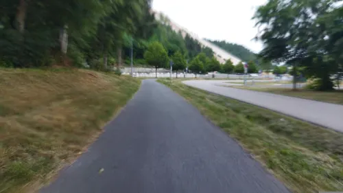
MonteCoaster - Rodelbahn am weißen Berg
Monument and historic site · 1.9 km
116 Wolfgang-Droßbach-Straße, Hirschau


60 more on the map.
Parks, trails and playgrounds16
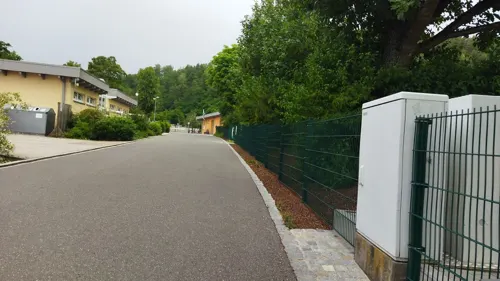
Dünenbad Monte Kaolino
Sports field and stadium · 2.0 km
Wolfgang-Droßbach-Straße, Hirschau
May-Sep 09:00-20:00

Naturbad Schnaittenbach
Sports field and stadium · 4.5 km
13 Badstraße, Schnaittenbach
May-Sep 09:00-20:00


4 more on the map.
Restaurants and cafes35
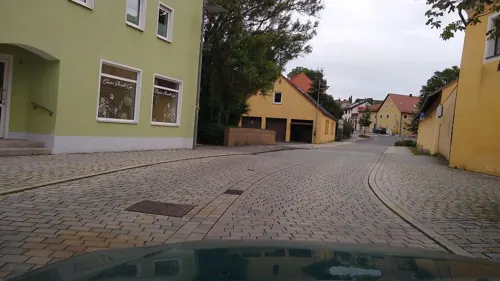
Schlosshotel Hirschau
Restaurant · German
1 Hauptstraße, Hirschau
Mo, Tu, We, Sa 10:00-23:00; Fr 16:00-23:00;Su 09:00-23:00; Th Off
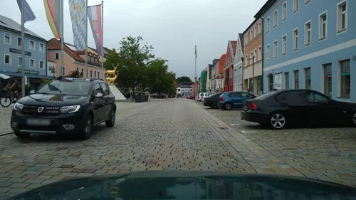
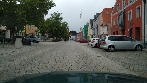
Goldener Hirsch
Restaurant · German
61 Hauptstraße, Hirschau
Mo, Th-Fr 17:00-22:00; Sa 11:30-22:00; Su, PH 10:30-20:00
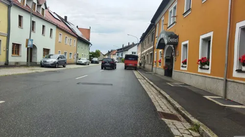
Hotel-Gasthof Haas
Restaurant · German · 4.1 km
20 Hauptstraße, Schnaittenbach
Su-Fr 06:30-14:30,17:00-23:00; Sa off

taverne-korfu2
Restaurant · Greek · 1.3 km
77 Wolfgang-Droßbach-Straße, Hirschau
We-Mo 17:00-22:00; Su,PH 11:00-14:00, 17:00-22:00
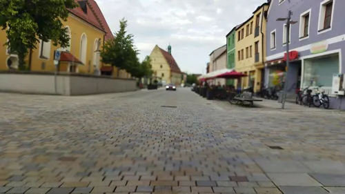
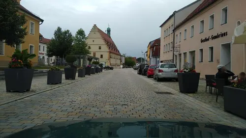
Eiscafé Venezia
Cafe · Ice Cream
83 Hauptstraße, Hirschau
Feb-Oct Tu-Su 10:00-22:00; PH 10:00-22:00
Hüthäusl
Restaurant · Regional · 6.4 km
4 Zur Vilsquelle, Freihung
We-Fr 17:00-22:00; Sa,Su,PH 10:00-23:00; Mo,Tu Off


Pizzeria Pino
Restaurant · Italian
22 Georg-Schiffer-Straße, Hirschau
Mo-Su 11:00-14:00,17:00-24:00
Rödlaser Berghütte
Restaurant · Regional · 5.2 km
4, Hirschau
Su 10:00-20:00; Th-Sa 15:00-22:00
23 more on the map.
Where to stay5
Churches and places of worship33
St. Johannes Baptist
Church · Roman Catholic · 5.6 km
10 Dorfstraße, Freihung
Dorfkirche St. Josef Massenricht
Church · Roman Catholic · 5.9 km
15, Hirschau
Herz Jesu
Church · Roman Catholic · 7.3 km
2 Hirschauer Straße, Kohlberg
Shopping7
Gas and EV charging2
Schools, colleges and libraries5
Healthcare3
Map of Hirschau
199 places. The map loads OpenStreetMap tiles when you open it.
Getting there and nearby towns
Verkehrslandeplatz Bayreuth (BYU) is the nearest airport with scheduled flights listed in OpenStreetMap, 54 km away.
- Amberg 13 km southwest, about 13 min by car
- Kümmersbruck 14 km south, about 14 min by car
- Sulzbach-Rosenberg 15 km west, about 15 min by car
- Wernberg-Köblitz 16 km east, about 16 min by car
- Pfreimd 18 km east, about 18 min by car
- Nabburg 20 km southeast, about 20 min by car
- Neustadt an der Waldnaab 27 km northeast, about 27 min by car
- Pommelsbrunn 32 km west, about 32 min by car
- Windischeschenbach 32 km northeast, about 32 min by car
- Pegnitz 37 km northwest, about 37 min by car
Drive times are estimates from straight-line distance, not routes.
Local news
Headlines from INDB.
Reviews, tips and questions
Loading what members have shared...
Sources and licences
- GeoNames (CC BY 4.0): population, coordinates, regions and time zone
- Mapillary (see each image): photos
- OpenStreetMap contributors (ODbL 1.0): places, airports, map data
- Wikidata (CC0 1.0): elevation, founding date, time zone, website, landmarks and historic places
- Wikimedia Commons (see each image): photos
- Wikipedia (CC BY-SA 4.0): overview and history text
Photo credits
- Hirschau-9582, Dietrich Krieger, CC BY-SA 3.0
- Brunnen in Hirschau mit goldenen Hirschen 1, Blauloke, CC BY-SA 4.0
- Brunnen in Hirschau mit goldenen Hirschen 3, Blauloke, CC BY-SA 4.0
- Brunnen in Hirschau mit goldenen Hirschen 2, Blauloke, CC BY-SA 4.0
- Hirschau-Rathaus-Kirche, Kurt Kastner, CC BY 3.0
- Brunnen in Hirschau mit goldenen Hirschen, Blauloke, CC BY-SA 4.0
- Hirschau-Epitaph-2, Kurt Kastner, CC BY-SA 3.0
- Hirschau-Epitaph-3, Kurt Kastner, CC BY-SA 3.0
- Hirschau himmel-erd-kreuz, Regerman, CC BY-SA 4.0
- Hirschau-Epitaph-Henrich-Eggard-Schmidt-Burgsess-1716, Kurt Kastner, CC BY 3.0
- Hirschau 001, Heinrich Becher, CC BY-SA 4.0
- GER —Bayern — Oberpfalz — Hirschau — ehem. Pflegschloss (heute Schloßhotel) — Außenansicht (Baudenkmal D-3-71-127-8) 2013-04-13, Dietrich Krieger, CC BY-SA 3.0
- Hirschau-9587, Dietrich Krieger, CC BY-SA 3.0
- Hirschau-9612, Dietrich Krieger, CC BY-SA 3.0
- Hirschau-9613, Dietrich Krieger, CC BY-SA 3.0
- Hirschau-9589-Bearbeitet, Dietrich Krieger, CC BY-SA 3.0
- Hirschau-3004, Dietrich Krieger, CC BY-SA 3.0
- Hirschau-9599, Dietrich Krieger, CC BY-SA 3.0
- Hirschau-9600, Dietrich Krieger, CC BY-SA 3.0
- Hirschau-9602, DKrieger, CC BY-SA 4.0
- Hirschau G.A.-Gedächtnis-Kirche Orgel, Regerman, CC BY-SA 4.0
- 2023 Hirschau 03, Alois Köppl, Gleiritsch, CC BY-SA 3.0
- 2023 Hirschau 21, Alois Köppl, Gleiritsch, CC BY-SA 3.0
- 2023 Conrad Hirschau 01, Alois Köppl, Gleiritsch, CC BY 3.0
- Aussichtsturm Rödlas im August 2019, Václav Včelák, Public domain
- Dorfkirche Massenricht Frontansicht mit Kriegerdenkmal, Bebbe, CC BY-SA 3.0
- Mariä Himmelfahrt - Hirschau -080, DALIBRI, CC BY-SA 4.0
- 2017 Monte Kaolino 01, Derzno, CC BY-SA 4.0
- Vierzehn-Nothelfer-Kapelle Hirschau-001, DALIBRI, CC BY-SA 4.0
- Gipfelkreuz auf dem Kohlbühl (Oberpfalz), Blauloke, CC BY-SA 4.0
- Atzmannsricht 002, Heinrich Becher, CC BY-SA 4.0
- Ehenfeld 097, Dietrich Krieger, CC BY-SA 3.0
- Marienkapelle Steiningloh, Bebbe, CC BY-SA 4.0
- Weiher 001, Heinrich Becher, CC BY-SA 4.0
- Schnaittenbach-Lourdes-Kapelle, Kurt Kastner ., CC0
- KohlbergHerzJesuKirche 01, Allexkoch, CC BY-SA 4.0
- Kapelle zum Heiligen Norbert von Xanten, Bebbe, CC BY-SA 4.0
- Gipfel des Buchberg im Naabgebirge, Blauloke, CC BY-SA 4.0
- Hirschau-6090, DKrieger, CC BY-SA 4.0
- Burgstall Haldenrode bei kemnath am Buchberg, Blauloke, CC BY-SA 4.0
- Kirche St. Vitus Schnaittenbach, Sist, Attribution
- Lourdeskapelle in Schnaittenbach, Blauloke, CC BY-SA 4.0
- Kirche St Johannes Großschönbrunn Kreis Amberg, DALIBRI, CC BY-SA 2.0 de
- 2023 Hirschau 06, Alois Köppl, Gleiritsch, CC BY-SA 3.0
- Lageplan ehemalige Wasserversorgung Schnaittenbach, Blauloke, CC BY-SA 4.0
- Street-level photo, wegavision, CC BY-SA 4.0
- Street-level photo, wegavision, CC BY-SA 4.0
- Street-level photo, wegavision, CC BY-SA 4.0
- Street-level photo, changchun1, CC BY-SA 4.0
- Street-level photo, changchun1, CC BY-SA 4.0
- Street-level photo, changchun1, CC BY-SA 4.0
- Street-level photo, changchun1, CC BY-SA 4.0
- Street-level photo, wegavision, CC BY-SA 4.0
- Street-level photo, changchun1, CC BY-SA 4.0
- Street-level photo, changchun1, CC BY-SA 4.0
- Street-level photo, rnissl, CC BY-SA 4.0
- Street-level photo, SuedOstLink, CC BY-SA 4.0
- Street-level photo, changchun1, CC BY-SA 4.0
- Street-level photo, geo, CC BY-SA 4.0
- Street-level photo, changchun1, CC BY-SA 4.0
- Street-level photo, fell3, CC BY-SA 4.0
- Street-level photo, fell3, CC BY-SA 4.0
- Street-level photo, changchun1, CC BY-SA 4.0
- Street-level photo, wegavision, CC BY-SA 4.0
- Street-level photo, changchun1, CC BY-SA 4.0
- Street-level photo, changchun1, CC BY-SA 4.0
- Street-level photo, changchun1, CC BY-SA 4.0


Page built November 9, 2026. Spotted a mistake? Tell us or suggest a place.