


Why visit Hofbieber
Townapedia lists 43 museums and landmarks, 21 parks and trails, 40 places to eat, 19 places to stay and 70 attractions in and around town.
Highlights include Thanhof, Rhönhof Henkel, Milseburg and Pfundsmuseum.
Weather in Hofbieber
Forecast from MET Norway (CC BY 4.0). Full forecast
About Hofbieber
Hofbieber is a municipality in the district of Fulda, in Hesse, Germany.
From the Wikipedia article Hofbieber (this version), under CC BY-SA 4.0.
Things to do70

Thanhof
Farm and orchard · 7.9 km
Hofladen & Direktvermarktung
6 Wallingser Weg, Hofbieber
Mo-Su 06:30-21:00
Rhönhof Henkel
Farm and orchard · 7.7 km
3 Mahlertsmühle, Hofbieber
We 17:00-19:00; week 02-52/2 Sa 10:00-13:00
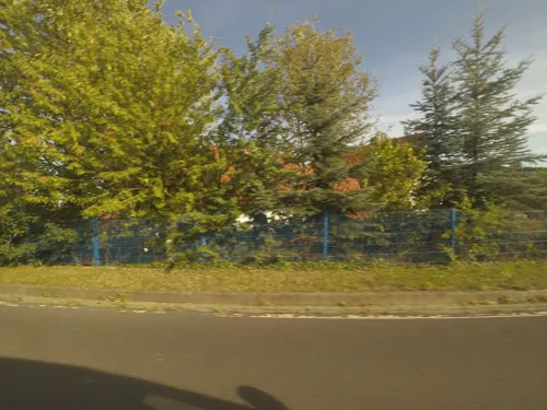
Ehresmühler Allerlei
Farm and orchard · 7.8 km
Tu 10:00-12:00,14:00-18:00; Fr 10:00-12:00,14:00-18:00; Sa 10:00-13:00

Sauers Hofladen
Farm and orchard · 6.4 km
6 Gerhardsweg, Petersberg-Böckels
Mo-Sa 08:00-18:00; Su 10:00-18:00

58 more on the map.
Museums and landmarks43

Milseburg
Monument and historic site · 6.4 km
Mountain in Hesse, Germany



Jungfernbörnchen
Monument and historic site · 7.0 km
Alter Brunnen von Wolferts, einer ca. 1350 während der Pest aufgegebenen Siedlung.

Naturkatastrophen
Monument and historic site · 5.3 km
Gedenktafel zur Erinnerung an die Naturkatastrophen im Dezember 1981 (Schnee-Eisbruch) und im November 1984 (Windwurf)
31 more on the map.
Parks, trails and playgrounds21

Haunestausee bei Marbach
Hiking and trails · 7.4 km
Südteil des Haunestausees mit Uferbereichen und südlich davon gelegenen Feuchtgebieten an der Haune, südöstlich von Marbach.







9 more on the map.
Restaurants and cafes40

Milseburghütte
Restaurant · 6.4 km
Apr-Oct: Th 11:00-18:00, Fr 11:00-21:00, Sa-Su,Mo,PH 11:00-18:00;...
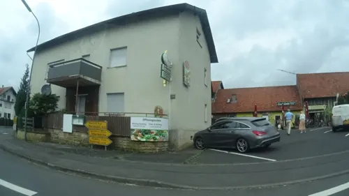
Casa Linda Pizzeria
Restaurant · Italian, Pizza · 5.0 km
1a Hauptstraße, Nüsttal
Mo-Th 16:00-23:00; Fr-Sa 11:00-14:30,17:00-23:00; Su 11:00-23:00

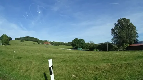
Gasthaus "Zur Steinwand"
Restaurant · Regional · 7.2 km
5a Steinwand, Poppenhausen
Mo 11:30-14:00,18:00+; Th-Fr 11:30-14:00,18:00+; Sa,Su 11:30+; Tu,We off
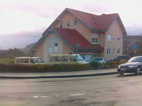
Gasthof Haunetal
Restaurant · German · 6.4 km
5 Steinhäuser Straße, Petersberg
Mo-We off; Th,Fr 17:00-23:00; Sa 14:00-23:00; Su 11:00-23:00; 2026...

Hotel & Restaurant Milseburg
Restaurant · Regional · 6.0 km
8 Milseburg, Hilders
Apr-Oct Mo-We,Fr-Su 11:30+; Nov-May Mo 15:00+; Nov-May We,Fr...

Milseburgstube
Restaurant · Regional · 6.0 km
1 Gangolfsweg, Hofbieber
Nov-Apr: Th-Su 11:00-18:00; May-Oct: We-Su 11:00-18:00
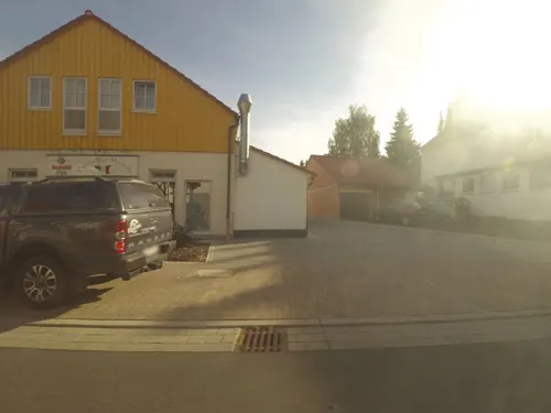
Pizza Bar Marsala
Restaurant · German, Italian · 5.6 km
14 Fuldaer Straße
Mo-Fr,Su 11:00-14:00,17:00-23:00; Sa 17:00-24:00
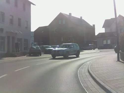
Puppenhaus am Brunnen
Restaurant · International · 5.6 km
28 Fuldaer Straße, Dipperz
We-Sa 17:30-23:00; Su,PH 11:30-14:00,17:30-23:00
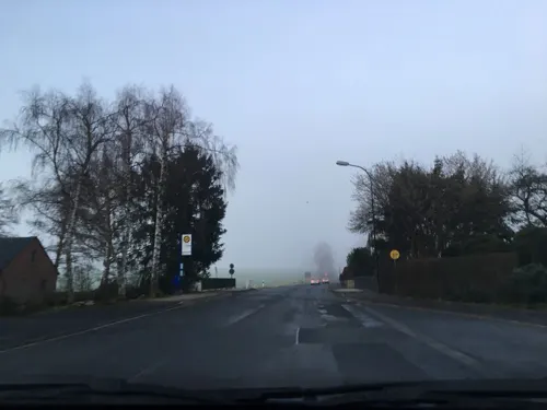


Zum Grünen Baum
Restaurant · German, Pizza · 5.8 km
2 Lindenstraße, Petersberg
Th 16:30-23:00; Fr-Sa 11:00-23:00; Su 11:00-14:00, 16:30-23:00

28 more on the map.
Where to stay19
Churches and places of worship34
Shopping8
Gas and EV charging7
Schools, colleges and libraries6
Healthcare2
Map of Hofbieber
250 places. The map loads OpenStreetMap tiles when you open it.
Getting there and nearby towns
Flugplatz Eisenach-Kindel (EIB) is the nearest airport with scheduled flights listed in OpenStreetMap, 64 km away.
- Künzell 10 km southwest, about 10 min by car
- Fulda 12 km west, about 12 min by car
- Hünfeld 11 km northwest, about 11 min by car
- Eichenzell 14 km southwest, about 14 min by car
- Neuhof 21 km southwest, about 21 min by car
- Schlitz 22 km northwest, about 22 min by car
- Bischofsheim in der Rhön 24 km southeast, about 24 min by car
- Hosenfeld 27 km west, about 27 min by car
- Niederaula 29 km northwest, about 29 min by car
- Lauterbach 31 km west, about 31 min by car
Drive times are estimates from straight-line distance, not routes.
Local news
Headlines from INDB.
Reviews, tips and questions
Loading what members have shared...
Sources and licences
- GeoNames (CC BY 4.0): population, coordinates, regions and time zone
- Mapillary (see each image): photos
- OpenStreetMap contributors (ODbL 1.0): places, airports, map data
- Wikidata (CC0 1.0): elevation, founding date, time zone, website, landmarks and historic places
- Wikimedia Commons (see each image): photos
- Wikipedia (CC BY-SA 4.0): overview and history text
Photo credits
- Hofbieber 1, Diana selbst, CC BY-SA 3.0
- Hofbieber Hofbieber Catholic Church Gate E, UuMUfQ, CC BY-SA 3.0
- Hofbieber Hofbieber Catholic Church df E, UuMUfQ, CC BY-SA 3.0
- Rhön141019-049, St. Georg, Hofbieber, Bytfisch, CC BY-SA 4.0
- Hofbieber Langenbieber Half-timbered building An der Bieber near Church f, UuMUfQ, CC BY-SA 3.0
- Carambelos en Hofbieber, Alemaña (xaneiro de 2016), Chairego apc, CC BY-SA 4.0
- Hofbieber Allmus Rimmelser Str N, UuMUfQ, CC BY-SA 3.0
- Hofbieber Allmus Rimmelser Str Backhaus d, UuMUfQ, CC BY-SA 3.0
- Hofbieber Niederbieber Bridge infrontof Church, UuMUfQ, CC BY-SA 3.0
- Hofbieber Niederbieber Tower d, UuMUfQ, CC BY-SA 3.0
- Hochschule Fulda 2021-07-25 01, Leonhard Lenz, CC0
- Oppidum Milseburg 2, Diana at German Wikipedia, CC BY-SA 3.0
- Fulda Dipperz Church St Antonius b, UuMUfQ, CC BY-SA 3.0
- Bubenbader Stein, Kreuzschnabel, CC BY-SA 3.0
- Neue Milseburghütte, Milseburg, CC BY-SA 4.0
- Hessische Rhön-Milseburg 018, Bybbisch94, Christian Gebhardt, CC BY-SA 4.0
- Blockhalde Stellberg 1, Jörg Braukmann, CC BY-SA 4.0
- Kirche von Langenbieber, GerritR, CC BY-SA 4.0
- Kirche Hofbieber-Wiesen 3 a, Verum, CC BY-SA 3.0
- Nuesttal Hofaschenbach Church SE d Feb, UuMUfQ, CC BY-SA 3.0
- Kapelle von Hofaschenbach, Ulrike Hergert, CC BY-SA 4.0
- Milseburg bei Inversionswetterlage (Ausschnitt), Milseburg, CC BY-SA 4.0
- NSG 1631041 Haunestausee bei Marbach 2020-07-25 d, Baummapper, CC BY-SA 3.0 de
- Rhön - Milseburghütte 2019-10-26 a, Baummapper, CC BY-SA 3.0 de
- Kleinsassen Pfundsmuseum8, Marius.auth, CC BY-SA 4.0
- Bubenbader Stein (Winter), Jörg Braukmann, CC BY-SA 4.0
- Rhön141019-045, Bytfisch, CC BY-SA 4.0
- Breaking the Sky Apart, RobertMeyer1205, CC BY-SA 4.0
- Rainbow Bridge to Asgard, RobertMeyer1205, CC BY-SA 4.0
- Rainbow Road Rhön, RobertMeyer1205, CC BY-SA 4.0
- Rhön141019-001 Bieberstein, Bytfisch, CC BY-SA 4.0
- Rhön141019-041, view from Bieberstein, Bytfisch, CC BY-SA 4.0
- Blick vom Gebiet westlich von Langenbieber südostwärts zum Wadberg, GerritR, CC BY-SA 4.0
- Blick über Langenbieber zum Hohlstein, GerritR, CC BY-SA 4.0
- Rhön141019-004, Bytfisch, CC BY-SA 4.0
- Milseburg und Stellberg, Jörg Braukmann, CC BY-SA 4.0
- Street-level photo, ramap, CC BY-SA 4.0
- Street-level photo, ramap, CC BY-SA 4.0
- Street-level photo, ramap, CC BY-SA 4.0
- Street-level photo, raphael, CC BY-SA 4.0
- Street-level photo, ramap, CC BY-SA 4.0
- Street-level photo, ramap, CC BY-SA 4.0
- Street-level photo, ramap, CC BY-SA 4.0
- Street-level photo, ramap, CC BY-SA 4.0
- Street-level photo, ramap, CC BY-SA 4.0
- Street-level photo, ramap, CC BY-SA 4.0
- Street-level photo, ramap, CC BY-SA 4.0
- Street-level photo, ramap, CC BY-SA 4.0
- Street-level photo, sennewald63, CC BY-SA 4.0
- Street-level photo, ramap, CC BY-SA 4.0
- Street-level photo, ramap, CC BY-SA 4.0


Page built November 9, 2026. Spotted a mistake? Tell us or suggest a place.