


Why visit Hünfeld
Townapedia lists 124 museums and landmarks, 33 parks and trails, 71 places to eat, 10 places to stay and 69 attractions in and around town.
Highlights include Appelsberg, Breiter Berg, Konrad-Zuse-Museum and Museum Modern Art.
Weather in Hünfeld
Forecast from MET Norway (CC BY 4.0). Full forecast
About Hünfeld
Hünfeld (German pronunciation: [ˈhyːnfɛlt] ) is a town in the district of Fulda, in Hesse, Germany. It is situated 16 km northeast of Fulda. In 2000, the town hosted the 40th Hessentag state festival. Hünfeld has a population of close to 16,000.
From the Wikipedia article Hünfeld (this version), under CC BY-SA 4.0.
Things to do69



57 more on the map.
Museums and landmarks124




Jagdschloß Burghaun
Monument and historic site · 3.5 km
Ehemaliges fürstäbtliches Jagdschloss und heutiges Forstamt in Burghaun
12 Schloßstraße, Burghaun

Torhaus
Monument and historic site · 3.4 km
Das Torhaus bildete einst den einzigen Zugang zur Stadt.
1 Stadtstraße, Burghaun

112 more on the map.
Parks, trails and playgrounds33

Haunestausee bei Marbach
Hiking and trails · 8.0 km
Südteil des Haunestausees mit Uferbereichen und südlich davon gelegenen Feuchtgebieten an der Haune, südöstlich von Marbach.




Kernzone des NSG Breiter Berg bei Haselstein
Hiking and trails · 7.4 km


21 more on the map.
Restaurants and cafes71

Café am Haselsee
Cafe · Regional · 0.8 km
Freizeitanlagen/Haselgrund
5 Zum Haselsee, Hünfeld
Tu-Fr 14:00-19:00; Sa,Su 09:00-19:00; Nov 01-Dec 23 Tu-Fr off; Dec...
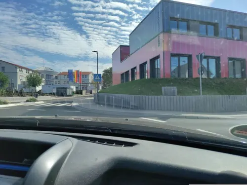
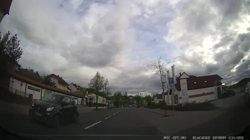
Adana - Pizzeria & Kebab Haus
Restaurant · Kebab, Pizza · 1.4 km
22 Fuldaer Straße, Hünfeld
Mo-Su 10:30-23:00

Alles André
Restaurant · Regional · 3.2 km
5 Wehrstraße, Burghaun
Mo 11:30-14:00; Tu,We off; Th-Su 11:30-14:00
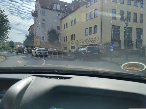
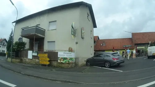
Casa Linda Pizzeria
Restaurant · Italian, Pizza · 8.0 km
1a Hauptstraße, Nüsttal
Mo-Th 16:00-23:00; Fr-Sa 11:00-14:30,17:00-23:00; Su 11:00-23:00
Landgasthof Goldener Engel
Restaurant · German · 3.1 km
9 Raiffeisenstraße, Hünfeld
Mo,Fr,Sa 18:00+, Su 10:00-14:00,18:00+
Landgasthof Zum Stern
Restaurant · German · 7.8 km
2 Biebergasse, Hünfeld
Mo-Fr 17:00-20:30; Sa,Su off
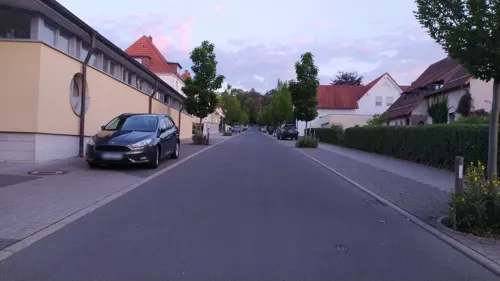
Restaurant "Gesellenstube-Olympia"
Restaurant · Greek · 1.2 km
14 Klingelstraße, Hünfeld
Tu-Sa 17:30-22:00; Su,PH 11:30-14:00,17:30-21:00
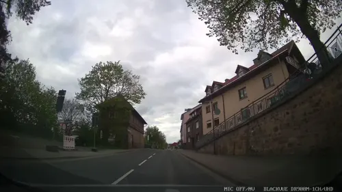
Schützenhof
Restaurant · German · 1.0 km
3 Fuldaer Berg, Hünfeld
Tu-Fr,Su 11:30-13:30,17:30+, Sa 17:30+
Waldgaststätte St. Hubertus Praforst
Restaurant · German · 4.1 km
2-4 Dr.-Detlev-Rudelsdorff-Allee, Hünfeld
We-Su 12:00-22:00
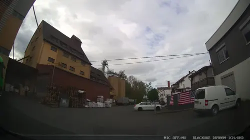


Bäckerei Happ
Bakery · 1.4 km
26 Fuldaer Straße, Hünfeld
Mo-Fr 05:00-18:00; Sa 05:00-17:00; Su 07:00-17:00
59 more on the map.
Where to stay10
Churches and places of worship49
Shopping18
Gas and EV charging11
Wingenfeld - BayWa Tankstelle Hünfeld
Gas station · 1.7 km
1 Zum Wolfsgraben, Hünfeld
Schools, colleges and libraries15
Healthcare8
Map of Hünfeld
250 places. The map loads OpenStreetMap tiles when you open it.
Getting there and nearby towns
Fritzlar Air Base (FRZ) is the nearest airport with scheduled flights listed in OpenStreetMap, 59 km away.
- Schlitz 15 km west, about 15 min by car
- Künzell 15 km south, about 15 min by car
- Eichenzell 21 km south, about 21 min by car
- Lauterbach 27 km west, about 27 min by car
- Neuhof 27 km southwest, about 27 min by car
- Bebra 33 km north, about 33 min by car
- Rotenburg an der Fulda 35 km north, about 35 min by car
- Alsfeld 36 km west, about 36 min by car
- Schlüchtern 41 km southwest, about 41 min by car
- Steinau an der Straße 46 km southwest, about 46 min by car
Drive times are estimates from straight-line distance, not routes.
Local news
Headlines from INDB.
Reviews, tips and questions
Loading what members have shared...
Sources and licences
- GeoNames (CC BY 4.0): population, coordinates, regions and time zone
- Mapillary (see each image): photos
- OpenStreetMap contributors (ODbL 1.0): places, airports, map data
- Wikidata (CC0 1.0): elevation, founding date, time zone, website
- Wikimedia Commons (see each image): photos
- Wikipedia (CC BY-SA 4.0): overview and history text
Photo credits
- Hünfeld, The original uploader was Hesse1309 at German Wikipedia . ( Original text: Hesse1309 ), CC BY-SA 3.0
- Burgruine Haselstein, Milseburg, CC BY-SA 4.0
- Lichtkopf hessisches kegelspiel vom kegelspiel radweg ds wc 30 09 2012, Dirk Schmidt (Celsius auf Wikivoyage), CC BY-SA 3.0
- Wigbertschule Haupteingang (2016-06-11), Simontawan, CC BY-SA 4.0
- Jagdschloss Burghaun 2, presse03, CC BY-SA 3.0
- NSG Breiter Berg (23), Verum, CC BY-SA 3.0
- Aussenansicht Konrad-Zuse-Museum Hünfeld, Konrad-Zuse-Museum, CC BY-SA 4.0
- Hübelsberg, GerritR, CC BY-SA 4.0
- Sandgrube am Mahlertshof 01, Arthur Diebold (mit freundlicher Genehmigung von Pina Sapper), CC BY-SA 4.0
- Huenfeld Kirchhasel Stallberg Ringwall E a, UuMUfQ, CC BY-SA 3.0
- Petersberg Marbach Church StAegidius Steeple d, UuMUfQ, CC BY-SA 3.0
- Nuesttal Hofaschenbach Church SE d Feb, UuMUfQ, CC BY-SA 3.0
- Jagdschloss Burghaun 4, surveyor54, CC BY-SA 4.0
- Torhaus, Burghaun, R.Raab, CC BY-SA 4.0
- NSG 1631041 Haunestausee bei Marbach 2020-07-25 d, Baummapper, CC BY-SA 3.0 de
- NSG Breiter Berg, Verum, CC BY-SA 3.0
- Street-level photo, deleted_user, CC BY-SA 4.0
- Street-level photo, miguel_andrade, CC BY-SA 4.0
- Street-level photo, DerMaster0815, CC BY-SA 4.0
- Street-level photo, bskater, CC BY-SA 4.0
- Street-level photo, chuck, CC BY-SA 4.0
- Street-level photo, chuck, CC BY-SA 4.0
- Street-level photo, emissary10, CC BY-SA 4.0
- Street-level photo, chuck, CC BY-SA 4.0
- Street-level photo, ramap, CC BY-SA 4.0
- Street-level photo, bskater, CC BY-SA 4.0
- Street-level photo, ramap, CC BY-SA 4.0
- Street-level photo, chuck, CC BY-SA 4.0
- Street-level photo, chuck, CC BY-SA 4.0
- Street-level photo, bskater, CC BY-SA 4.0
- Street-level photo, ramap, CC BY-SA 4.0
- Street-level photo, osmwithspace, CC BY-SA 4.0
- Street-level photo, chuck, CC BY-SA 4.0


Page built November 8, 2026. Spotted a mistake? Tell us or suggest a place.