


Why visit Niederaula
Townapedia lists 35 museums and landmarks, 7 parks and trails, 38 places to eat, 10 places to stay and 33 attractions in and around town.
Highlights include Direktvermarktung Schaake, Heussner-Turm, Burgruine Milnrode and Kulturdenkmal Lager Pfaffenwald.
Weather in Niederaula
Forecast from MET Norway (CC BY 4.0). Full forecast
About Niederaula
Niederaula is a market community in Hersfeld-Rotenburg district in northeastern Hesse, Germany, 59 km south of Kassel.
From the Wikipedia article Niederaula (this version), under CC BY-SA 4.0.
Things to do33


Heussner-Turm
Scenic view · 3.7 km
Metall-Wendeltreppe mit 127 Stufen zur Aussichtsplattform




Theatertreff Breitenbach - "Klarteckst"
Cinema and theater · 6.5 km
42 Hauptstraße, Breitenbach am Herzberg
21 more on the map.
Museums and landmarks35





23 more on the map.
Parks, trails and playgrounds7







Restaurants and cafes38

Gasthof Heinrich Herzog
Restaurant · German, Regional · 5.8 km
50 Alsfelder Straße, Bad Hersfeld
Mo-We, Fr-Su 17:00-23:00
Landgasthof Jossatal
Restaurant · Regional · 4.5 km
10 Hersfelder Straße, Breitenbach am Herzberg
Mo-Sa 07:00-11:00,17:00-21:00; Su,PH 07:00-14:00,17:00-21:00
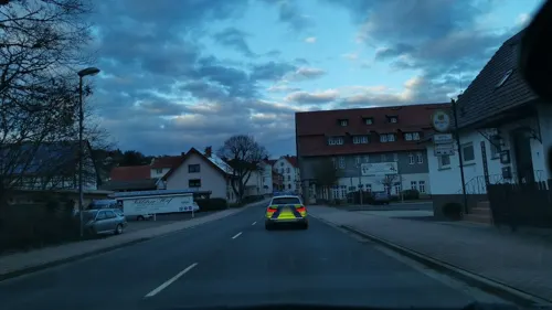
Landgasthof Zur Aulabrücke
Restaurant · International
7 Schlitzer Straße, Niederaula
Mo-Su 11:00-23:00
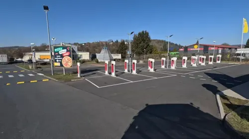
SVG Rasthaus "Hessenland"
Restaurant · International · 4.3 km
1 Hauptstraße, Kirchheim
Mo-Fr 06:00-22:00; Sa 07:00-22:00; Su,PH 08:00-22:00

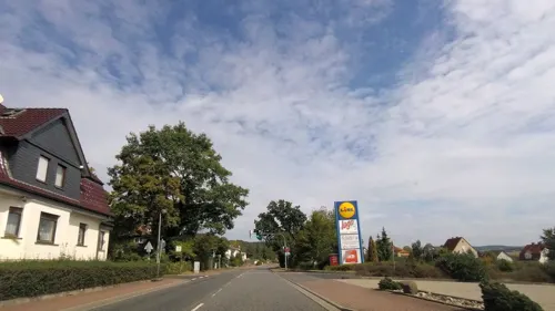
Guter Gerlach
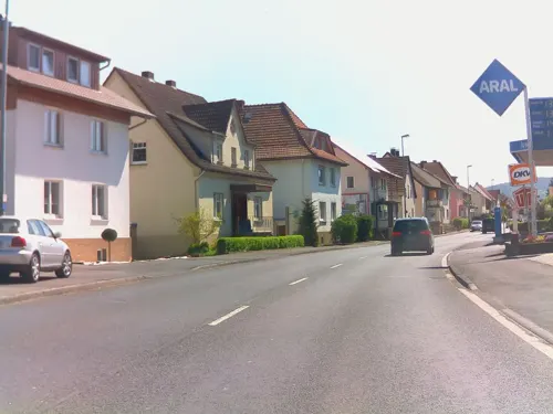
Bakery · 1.0 km
14 Hersfelder Straße, Niederaula
Mo-Fr 06:00-17:30; Sa 06:00-17:00; Su 07:30-17:00


26 more on the map.
History
In 779, Niederaula had its first documentary mention in connection with one of Charlemagne’s donations to the Hersfeld Abbey. The outlying centre of Niederjossa held a 1,225-year jubilee celebration in the first week of August 2007.
From the History section of Niederaula on Wikipedia, under CC BY-SA 4.0.
Where to stay10
Zum Jossatal
Motel and hotel · 4.5 km
17 Hersfelder Straße, Breitenbach am Herzberg
Churches and places of worship4
Evangelische Kirche
Church · Protestant · 2.8 km
7 Schloßberg, Niederaula
Shopping7
Gas and EV charging16
Schools, colleges and libraries6
Healthcare3
Burg-Apotheke
Clinic and pharmacy · 6.1 km
74 Hauptstraße, Breitenbach am Herzberg
Map of Niederaula
159 places. The map loads OpenStreetMap tiles when you open it.
Getting there and nearby towns
Fritzlar Air Base (FRZ) is the nearest airport with scheduled flights listed in OpenStreetMap, 41 km away.
- Bad Hersfeld 11 km northeast, about 11 min by car
- Schlitz 14 km south, about 14 min by car
- Hünfeld 18 km southeast, about 18 min by car
- Lauterbach 23 km southwest, about 23 min by car
- Alsfeld 24 km west, about 24 min by car
- Rotenburg an der Fulda 24 km north, about 24 min by car
- Bebra 24 km northeast, about 24 min by car
- Fulda 28 km south, about 28 min by car
- Künzell 30 km south, about 30 min by car
- Schwalmstadt 31 km northwest, about 31 min by car
Drive times are estimates from straight-line distance, not routes.
Local news
Headlines from INDB.
Reviews, tips and questions
Loading what members have shared...
Sources and licences
- GeoNames (CC BY 4.0): population, coordinates, regions and time zone
- Mapillary (see each image): photos
- OpenStreetMap contributors (ODbL 1.0): places, airports, map data
- Wikidata (CC0 1.0): elevation, founding date, time zone, website
- Wikimedia Commons (see each image): photos
- Wikipedia (CC BY-SA 4.0): overview and history text
Photo credits
- Flug -Nordholz-Hammelburg 2015 by-RaBoe 1000 - Niederaula, © Ra Boe / Wikipedia, CC BY-SA 3.0 de
- Eibe, 1, Bahnhofstraße 40, Niederaula, Landkreis Hersfeld-Rotenburg, GeorgDerReisende, CC BY-SA 4.0
- Kieferngruppe, 1, Königsberger Straße, Niederaula, Landkreis Hersfeld-Rotenburg, GeorgDerReisende, CC BY-SA 4.0
- 2017 Knüllgebirge 056 Aula bei Niederaula, Steffen 962, CC0
- 2017 Knüllgebirge 055 Aula bei Niederaula, Steffen 962, CC0
- 2017 Knüllgebirge 054 Aula bei Niederaula, Steffen 962, CC0
- Milnrode mauerreste, 2micha, CC BY-SA 3.0
- Mengshäuser Kuppe mit Kruspis, Jörg Braukmann, CC BY-SA 4.0
- Naturschutzgebiet „Alte Fulda bei Asbach“, Heinz K. S., CC BY-SA 4.0
- Bruchwiesen bei Mengshausen im Landkreis Hersfeld-Rotenburg (3), Heinz K. S., CC BY 4.0
- Schlitz Ober-Wegfurth Protestant Church df, UuMUfQ, CC BY-SA 3.0
- Heussner-Turm (NO), Jörg Braukmann, CC BY-SA 4.0
- Niederaula Hattenbach Church Schlossberg b SW, UuMUfQ, CC BY-SA 4.0
- Lager Pfaffenwald, Fundament einer Sanitärbaracke, Nenndorfer, CC BY-SA 4.0
- Gedenkkreuz Ehrenfriedhof Pfaffenwald, Nenndorfer, CC BY-SA 4.0
- Niederaula wallenfels burghuegel, 2micha, CC BY-SA 3.0
- Lagerplan Pfaffenwald, Nenndorfer, CC BY-SA 4.0
- ISS047-E-107993 - View of Earth, Earth Science and Remote Sensing Unit , Lyndon B. Johnson Space Center, Public domain
- ISS042-E-183899 - View of Earth, Earth Science and Remote Sensing Unit , Lyndon B. Johnson Space Center, Public domain
- ISS057-E-33912 - View of Earth, Earth Science and Remote Sensing Unit, NASA Johnson Space Center, Public domain
- ISS042-E-313391 - View of Earth, Earth Science and Remote Sensing Unit , Lyndon B. Johnson Space Center, Public domain
- ISS050-E-50020 - View of Earth, Earth Science and Remote Sensing Unit , Lyndon B. Johnson Space Center, Public domain
- ISS042-E-223859 - View of Earth, Earth Science and Remote Sensing Unit , Lyndon B. Johnson Space Center, Public domain
- ISS047-E-107992 - View of Earth, Earth Science and Remote Sensing Unit , Lyndon B. Johnson Space Center, Public domain
- ISS042-E-330936 - View of Earth, Earth Science and Remote Sensing Unit , Lyndon B. Johnson Space Center, Public domain
- ISS045-E-46317 - View of Earth, Earth Science and Remote Sensing Unit , Lyndon B. Johnson Space Center, Public domain
- ISS047-E-107991 - View of Earth, Earth Science and Remote Sensing Unit , Lyndon B. Johnson Space Center, Public domain
- ISS042-E-326482 - View of Earth, Earth Science and Remote Sensing Unit , Lyndon B. Johnson Space Center, Public domain
- ISS057-E-33911 - View of Earth, Earth Science and Remote Sensing Unit, NASA Johnson Space Center, Public domain
- ISS055-E-31544 - View of Earth, Earth Science and Remote Sensing Unit, NASA Johnson Space Center, Public domain
- ISS065-E-372295 - View of Earth, Earth Science and Remote Sensing Unit , Lyndon B. Johnson Space Center, Public domain
- ISS050-E-50019 - View of Earth, Earth Science and Remote Sensing Unit , Lyndon B. Johnson Space Center, Public domain
- ISS042-E-330937 - View of Earth, Earth Science and Remote Sensing Unit , Lyndon B. Johnson Space Center, Public domain
- ISS042-E-313392 - View of Earth, Earth Science and Remote Sensing Unit , Lyndon B. Johnson Space Center, Public domain
- ISS042-E-326481 - View of Earth, Earth Science and Remote Sensing Unit , Lyndon B. Johnson Space Center, Public domain
- Schlitz Richthof Richtberg Fagus 2024 Apr a, UuMUfQ, CC BY-SA 4.0
- Street-level photo, plexi32, CC BY-SA 4.0
- Street-level photo, kgvx, CC BY-SA 4.0
- Street-level photo, fdmap, CC BY-SA 4.0
- Street-level photo, changchun1, CC BY-SA 4.0
- Street-level photo, bct, CC BY-SA 4.0
- Street-level photo, klik, CC BY-SA 4.0
- Street-level photo, plexi32, CC BY-SA 4.0
- Street-level photo, ramap, CC BY-SA 4.0
- Street-level photo, ramap, CC BY-SA 4.0
- Street-level photo, kgvx, CC BY-SA 4.0
- Street-level photo, ramap, CC BY-SA 4.0
- Street-level photo, plexi32, CC BY-SA 4.0
- Street-level photo, bct, CC BY-SA 4.0
- Street-level photo, klik, CC BY-SA 4.0
- Street-level photo, DerMaster0815, CC BY-SA 4.0
- Street-level photo, ramap, CC BY-SA 4.0
- Street-level photo, ramap, CC BY-SA 4.0
- Street-level photo, changchun1, CC BY-SA 4.0
- Street-level photo, plexi32, CC BY-SA 4.0
- Street-level photo, kgvx, CC BY-SA 4.0
- Street-level photo, Hightower-, CC BY-SA 4.0
- Street-level photo, xanu, CC BY-SA 4.0
- Street-level photo, changchun1, CC BY-SA 4.0
- Street-level photo, kgvx, CC BY-SA 4.0


Page built November 9, 2026. Spotted a mistake? Tell us or suggest a place.