


Why visit Holzkirchen
Townapedia lists 23 museums and landmarks, 33 parks and trails, 76 places to eat, 6 places to stay and 10 attractions in and around town.
Highlights include Horthof, Mangfall Bridge, Grüne Marter and Nüchternbrunn.
Weather in Holzkirchen
Forecast from MET Norway (CC BY 4.0). Full forecast
About Holzkirchen
Holzkirchen (German pronunciation: [ˈhɔltsˌkɪʁçn̩] ) is a market town in Bavaria, Germany. With a population of over 16,000 (2008) it is the largest town in the Miesbach district.
From the Wikipedia article Holzkirchen, Upper Bavaria (this version), under CC BY-SA 4.0.
Things to do10

Horthof
Farm and orchard · 2.8 km
117 Roggersdorfer Straße, Holzkirchen
Tu 10:00-13:00; Fr 10:00-17:00; Sa 10:00-13:00

Erlacher Blumen- und Bauernladl
Farm and orchard · 5.2 km
Eier, Schafprodukte, Gemüse, Trauerbinderei, Hochzeitsfloristik, Saisonale Floristik, Saisonale Blumen
7 Palnkamer Weg, Dietramszell
Fr 09:00-12:00, 14:00-17:00; Sa 09:00-12:30
Hofladen Jasberg
Farm and orchard · 5.2 km
1 Jasberg, Dietramszell
Sa 08:30-12:00


Museums and landmarks23

Grüne Marter
Monument and historic site · Catholic · 6.0 km
Bildstock von 1705, wohl zur Erinnerung an das Aufgebot der Bauern; Tuffpfeiler mit Laternenaufsatz

Nüchternbrunn
Monument and historic site · 6.0 km
Wallfahrtskapelle und Klause; von 1794, nach einem Brand 1946 neu errichtet

Schloss Valley
Monument and historic site · 6.0 km
19 Graf-Arco-Straße, Valley



Frater Brettschneider
Monument and historic site · 5.9 km
Gedenkkreuz Klausners B. Brettschneider (1882 - 1947)

Gedenktafel Franz Gilgenrainer
Monument and historic site · 4.3 km
Gedenktafel mit Foto für Franz Gilgenrainer, der hier kurz vor Kriegsende bei einem Fliegerangriff zu Tode kam

11 more on the map.
Parks, trails and playgrounds33




21 more on the map.
Restaurants and cafes76
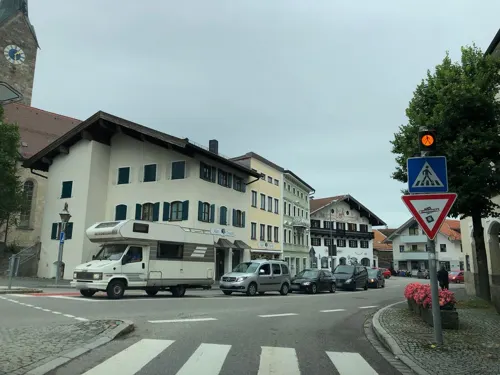

Bräustüberl Valley
Restaurant · Bavarian, Regional · 6.1 km
28 Graf-Arco-Straße, Valley
Tu-Su 11:00-22:30; Mo off
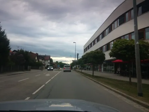
Café Bistro Weinbar Papst
Cafe · Regional, Italian, Coffee Shop, Burger, Thai · 1.0 km
56a Münchner Straße, Holzkirchen
Mo-Sa 09:00-23:00
Canton
Restaurant · Chinese
21 Rosenheimer Straße, Holzkirchen
Su-Th 11:30-15:00, 17:00-23:00; Fr, Sa 11:30-23:00
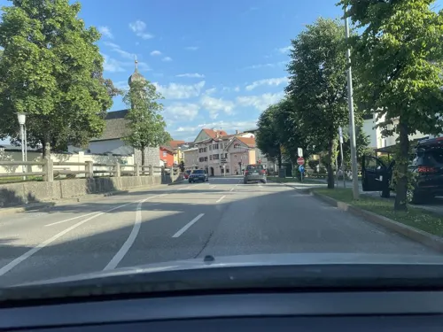
Franzetti
Cafe · Ice Cream
7a Münchner Straße, Holzkirchen
Mo-Th 12:00-18:00, Sa 12:00-21:00, Su 12:00-21:00
Gasthaus Baumann
Restaurant · Bavarian · 4.1 km
45 Bahnhofstraße, Otterfing
We-Su 11:00-24:00; Tu 17:00-24:00
Gasthof zur Post
Restaurant · Regional · 5.3 km
27 Taubenbergstraße, Warngau
Mo-Su 10:00-22:00; Tu off
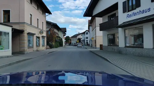
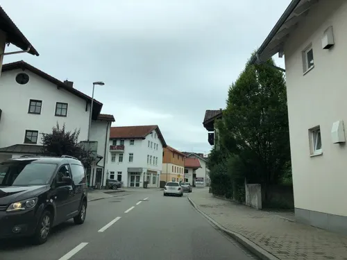
Nino
Restaurant · Italian
17 Tegernseer Straße, Holzkirchen
Th,Fr,Su,Mo 11:30-14:30,17:00-22:00; Sa 17:00-22:00
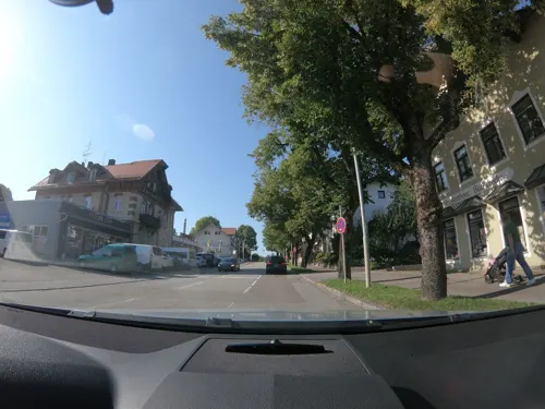
Ristorante Da Tosto
Restaurant · Italian · 0.7 km
44 Münchner Straße, Holzkirchen
Tu-Su 12:00-14:00,17:00-22:00
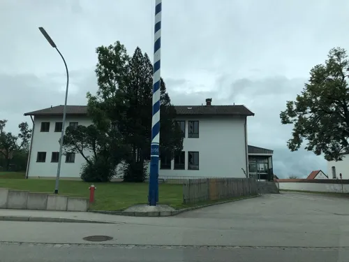


64 more on the map.
History
Holzkirchen was the location of one of the main transmitting stations for Radio Free Europe. Transmissions started in 1951 and provided the people of Eastern Europe with news from Western Europe. The transmitters had a strength of up to 135 Kilowatts and was upgraded to 150 Kilowatts in 1967. The relay transmitters were decommissioned in 1990. Final decommissioning of the Holzkirchen array was in 2004.
There were claims that the high-powered transmissions caused illnesses locally . There were also claims that it was so strong that locals could hear the radio programmes through their faucets . Subsequent to the relocation of RFE studios from Munich to Prague, the medium wave transmitter was shut down in 2001, following which the short wave transmissions continued on reduced power. The final transmissions were made in 2005, after which the transmission equipment was packed up to be sent to the Philippines and the masts were scrapped.
Nowadays Holzkirchen is well known as a location for pharmaceutical research and production. The European center of Sandoz and HEXAL are located in the industrial zone.
From the History section of Holzkirchen, Upper Bavaria on Wikipedia, under CC BY-SA 4.0.
Where to stay6
Pension Landgasthof Feickert
Motel and hotel · 3.7 km
50 Palnkamer Straße, Otterfing
Churches and places of worship35
St. Margaretha
Church · Roman Catholic · 2.8 km
112 Roggersdorfer Straße, Holzkirchen
St. Sebastian
Church · Roman Catholic · 4.5 km
1 Dorfstraße, Holzkirchen
Mariä Heimsuchung
Church · Roman Catholic · 3.7 km
123 Tölzer Straße, Holzkirchen
Mariä Opferung
Church · Roman Catholic · 4.6 km
8 Holzkirchener Straße, Osterwarngau
Shopping26
Gas and EV charging10
Schools, colleges and libraries14
Fachoberschule und Gymnasium Holzkirchen
School · 1.3 km
2-4 Jörg-Hube-Straße, Holzkirchen
Healthcare5
Seemüller Apotheke
Clinic and pharmacy · 0.6 km
1 Rosenheimer Straße, Holzkirchen
Map of Holzkirchen
238 places. The map loads OpenStreetMap tiles when you open it.
Getting there and nearby towns
Sonderflughafen Oberpfaffenhofen (OBF) is the nearest airport with scheduled flights listed in OpenStreetMap, 39 km away.
- Miesbach 14 km southeast, about 14 min by car
- Oberhaching 18 km northwest, about 18 min by car
- Taufkirchen 20 km north, about 20 min by car
- Wolfratshausen 21 km west, about 21 min by car
- Unterhaching 22 km north, about 22 min by car
- Neubiberg 23 km north, about 23 min by car
- Vaterstetten 26 km north, about 26 min by car
- Kolbermoor 27 km east, about 27 min by car
- Penzberg 28 km southwest, about 28 min by car
- Munich 30 km north, about 30 min by car
Drive times are estimates from straight-line distance, not routes.
Local news
Headlines from INDB.
Reviews, tips and questions
Loading what members have shared...
Sources and licences
- GeoNames (CC BY 4.0): population, coordinates, regions and time zone
- Mapillary (see each image): photos
- OpenStreetMap contributors (ODbL 1.0): places, airports, map data
- Wikidata (CC0 1.0): elevation, founding date, time zone, website, landmarks and historic places
- Wikimedia Commons (see each image): photos
- Wikipedia (CC BY-SA 4.0): overview and history text
Photo credits
- Holzkirchen-Marktplatz Rathaus-1, Rufus46, CC BY-SA 3.0
- Gemeindebücherei Holzkirchen am Marktplatz 1 2023-06-03, Strubbl, CC BY-SA 4.0
- Marktplatz 7 Holzkirchen, Ricardalovesmonuments, CC BY-SA 4.0
- Holzkirchen, Alte Post v NO, 4, Renardo la vulpo, CC BY-SA 4.0
- Marktplatz 10a Holzkirchen, Ricardalovesmonuments, CC BY-SA 4.0
- St. Laurentius (Holzkirchen) Annasellbtritt, Ricardalovesmonuments, CC BY-SA 4.0
- Tegernseer Straße 1 Holzkirchen 1, Ricardalovesmonuments, CC BY-SA 4.0
- Tegernseer Straße 1 Holzkirchen 2, Ricardalovesmonuments, CC BY-SA 4.0
- St. Laurentius (Holzkirchen) Altar Nebenkapelle, Ricardalovesmonuments, CC BY-SA 4.0
- Die Pfarrkirche St. Laurentius (Holzkirchen) Geschichte, Wikitarisch, CC BY-SA 4.0
- Kriegerdenkmal Holzkirchen (Upper Bavaria) 08, Wikitarisch, CC BY-SA 4.0
- Marktplatz 13 Holzkirchen, Ricardalovesmonuments, CC BY-SA 4.0
- Kriegerdenkmal Holzkirchen (Upper Bavaria) 03, Wikitarisch, CC BY-SA 4.0
- Kriegerdenkmal Holzkirchen (Upper Bavaria) 02, Wikitarisch, CC BY-SA 4.0
- Kriegerdenkmal Holzkirchen (Upper Bavaria) 04, Wikitarisch, CC BY-SA 4.0
- Kriegerdenkmal Holzkirchen (Upper Bavaria) 06, Wikitarisch, CC BY-SA 4.0
- Kriegerdenkmal Holzkirchen (Upper Bavaria) 05, Wikitarisch, CC BY-SA 4.0
- Kriegerdenkmal 1870-71 St. Laurentius (Holzkirchen, Upper Bavaria) Kontext, Wikitarisch, CC BY-SA 4.0
- Tölzer Straße 1 Holzkirchen, Ricardalovesmonuments, CC BY-SA 4.0
- Kriegerdenkmal Holzkirchen (Upper Bavaria) 07, Wikitarisch, CC BY-SA 4.0
- Rathaus Holzkirchen mit Maibaum am Marktplatz 2 2023-06-03, Strubbl, CC BY-SA 4.0
- Kriegerdenkmal auf dem Marktplatz Holzkirchen vor Kirche St. Laurentius 2023-06-03, Strubbl, CC BY-SA 4.0
- Maibaum auf dem Marktplatz Holzkirchen mit Rathaus 2023-06-03, Strubbl, CC BY-SA 4.0
- Kriegerdenkmal Holzkirchen (Upper Bavaria) 01, Wikitarisch, CC BY-SA 4.0
- Zum Oberbräu Marktplatz 18 Holzkirchen 2023-06-03, Strubbl, CC BY-SA 4.0
- St. Laurentius (Holzkirchen) Pieta, Ricardalovesmonuments, CC BY-SA 4.0
- Maibaum Holzkirchen (Upper Bavaria), Wikitarisch, CC BY-SA 4.0
- Kriegerdenkmal Holzkirchen (Upper Bavaria) 09, Wikitarisch, CC BY-SA 4.0
- 83607 Holzkirchen, Germany - panoramio, Foto Fitti, CC BY-SA 3.0
- Abt-Kaspar-Brunnen zwischen Gemeindebücherei Marktplatz 1 und Rathaus Holzkirchen Marktplatz 2 2023-06-03, Strubbl, CC BY-SA 4.0
- Rathaus Holzkirchen am Marktplatz 2 2023-06-03, Strubbl, CC BY-SA 4.0
- Marktplatz 18 Holzkirchen, Ricardalovesmonuments, CC BY-SA 4.0
- Riene Haus am Marktplatz 19 Holzkirchen 2023-06-03, Strubbl, CC BY-SA 4.0
- Marktplatz 10b (Daisenbergerstr) Holzkirchen 1, Ricardalovesmonuments, CC BY-SA 4.0
- Marktplatz 19 Holzkirchen 2, Ricardalovesmonuments, CC BY-SA 4.0
- Münchner Str 2 Holzkirchen 2, Ricardalovesmonuments, CC BY-SA 4.0
- Marktplatz 1 Holzkirchen, Ricardalovesmonuments, CC BY-SA 4.0
- Marktplatz 10b (Daisenbergerstr) Holzkirchen 2, Ricardalovesmonuments, CC BY-SA 4.0
- Marktplatz 20 Holzkirchen, Ricardalovesmonuments, CC BY-SA 4.0
- Tegernseer Straße 9 Holzkirchen, Ricardalovesmonuments, CC BY-SA 4.0
- Mangfallbruecke Jan 2008, Sir Boris, CC BY-SA 3.0
- Holzkirchen Kirche St. Laurentius, Rudolph Buch, CC0
- Wallfahrtskapelle Nüchternbrunn 2022-04-17, 2015 Michael 2015, CC BY-SA 4.0
- Kriegerdenkmal-Holzkirchen-errichtet1923-BronzegedenktafelnWWIundWWII, Ignazwrobel, CC BY-SA 3.0
- Valley Neues Schloss-1, Rufus46, CC BY-SA 3.0
- Valley Mitterdarching St. Michael, Rudolph Buch, Public domain
- Frauenkirche Osterwarngau, Edelmauswaldgeist, CC0
- Hl. Kreuz Wettlkam Otterfing-1, Rufus46, CC BY-SA 3.0
- St. Sebastian Kleinhartpenning Holzkirchen-2, Rufus46, CC BY-SA 3.0
- Heignkam St. Maria 3, Edelmauswaldgeist, CC0
- Frauenbergkapelle Sufferloh Holzkirchen-1, Rufus46, CC BY-SA 4.0
- Föching, Johann Baptist v O, 1, Renardo la vulpo, CC BY-SA 4.0
- Großhartpenning, Mariä Heimsuchung (1), Cmcmcm1, CC BY-SA 4.0
- Holzkirchen, Segenskirche, 1, Aisano, CC0
- Gruene Marter Warngau-1, Rufus46, CC BY-SA 3.0
- Gedenkstaette Franz Gilgenrainer (Fellach, Holzkirchen) Tafel, PMSchneid, CC BY-SA 4.0
- Nüchternbrunn Klause, PaulSch, CC BY-SA 4.0
- SanktMargarethaHolzkirchenOrtsteilRoggersdorfimSept2012, Ignazwrobel, CC BY-SA 3.0
- Gebäude Tölzer Straße 131 Großhartpenning aus Süden mit Bergzeit 2024-01-14, Strubbl, CC BY-SA 4.0
- Street-level photo, chuck, CC BY-SA 4.0
- Street-level photo, skiloo, CC BY-SA 4.0
- Street-level photo, chuck, CC BY-SA 4.0
- Street-level photo, chicc0, CC BY-SA 4.0
- Street-level photo, ottor, CC BY-SA 4.0
- Street-level photo, chuck, CC BY-SA 4.0
- Street-level photo, umap, CC BY-SA 4.0
- Street-level photo, chicc0, CC BY-SA 4.0
- Street-level photo, chuck, CC BY-SA 4.0
- Street-level photo, chuck, CC BY-SA 4.0
- Street-level photo, chuck, CC BY-SA 4.0
- Street-level photo, chicc0, CC BY-SA 4.0
- Street-level photo, chicc0, CC BY-SA 4.0
- Street-level photo, chuck, CC BY-SA 4.0
- Street-level photo, chicc0, CC BY-SA 4.0
- Street-level photo, ottor, CC BY-SA 4.0
- Street-level photo, lin_wang, CC BY-SA 4.0
- Street-level photo, vorwaertsimmer, CC BY-SA 4.0
- Street-level photo, chuck, CC BY-SA 4.0


Page built November 8, 2026. Spotted a mistake? Tell us or suggest a place.