


Why visit Miesbach
Townapedia lists 20 museums and landmarks, 7 parks and trails, 79 places to eat, 4 places to stay and 7 attractions in and around town.
Highlights include Hofladen Oberlinner, Kinocenter Oberland, Hinterthalhammer-Feldkapelle and Haindl-Keller.
Weather in Miesbach
Forecast from MET Norway (CC BY 4.0). Full forecast
About Miesbach
Miesbach (German: [ˈmiːsbax] ) is a town in Bavaria, Germany, and is the capital of the Miesbach district. The district is at an altitude of 697 metres above sea level. It covers an area of approximately 863.50 km2 of alpine headlands and in 2017 had a population of 11,477. The town is located 48 km southeast of Munich.
From the Wikipedia article Miesbach (this version), under CC BY-SA 4.0.
Things to do7

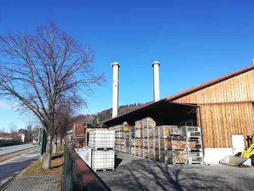
Schlierseer Bauerntheater
Cinema and theater · 6.6 km
Building in Schliersee, Upper Bavaria, Germany



Museums and landmarks20



Klenze-Schacht
Monument and historic site · 4.0 km
Förderturm des ehemaligen Bergwerks Hausham

Gedächtniskapelle
Monument and historic site
Kleine Seitenkapelle mit verschiedenen Gedenktafeln mit den Namen von Gefallenen verschiedener Kriege.


8 more on the map.
Parks, trails and playgrounds7



Restaurants and cafes79

Stadlbergalm
Restaurant · Regional · 2.6 km
114 Gunetsrain, Hausham
Mo,Tu off; We,Th,Su 12:00-20:00; Fr,Sa 12:00-22:00
Frisch aus dem Wok
Restaurant · Sushi, Asian, Thai, Vietnamese, Chinese, Curry · 3.8 km
11 Agatharieder Weg, Hausham
We-Fr 17:00-22:00; Sa 11:30-22:00; Su 11:30-22:00
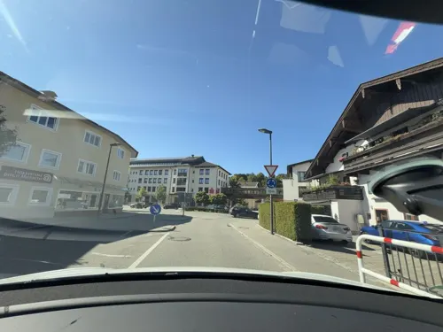
Osteria Himmisepp
Restaurant · Italian
10 Marktwinkl, Miesbach
Mo,Tu,Th,Fr 12:00-14:00,17:30+; Sa 17:30+
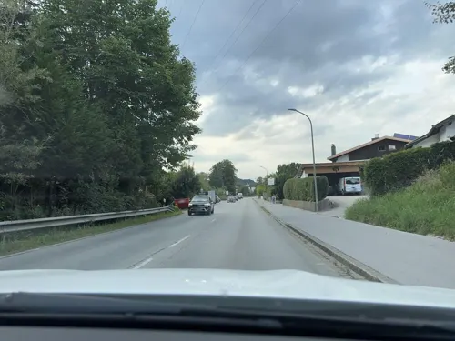

Antonius Bar
Bar and pub · 2.9 km
8a Obere Tiefenbachstraße, Hausham
Th 17:00-01:00; Fr-Sa 18:00-01:00
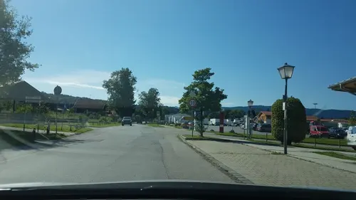


67 more on the map.
Where to stay4
Churches and places of worship25
Portiunkulakirche St. Franziskus
Church · Roman Catholic
6 Schulberg, Miesbach
Shopping23
Gas and EV charging6
Schools, colleges and libraries20
Healthcare5
Map of Miesbach
196 places. The map loads OpenStreetMap tiles when you open it.
Getting there and nearby towns
Sonderflughafen Oberpfaffenhofen (OBF) is the nearest airport with scheduled flights listed in OpenStreetMap, 52 km away.
- Raubling 21 km east, about 21 min by car
- Rosenheim 23 km east, about 23 min by car
- Oberhaching 32 km northwest, about 32 min by car
- Taufkirchen 33 km northwest, about 33 min by car
- Wolfratshausen 34 km northwest, about 34 min by car
- Penzberg 34 km west, about 34 min by car
- Unterhaching 35 km northwest, about 35 min by car
- Vaterstetten 36 km north, about 36 min by car
- Neubiberg 35 km north, about 35 min by car
- Munich 43 km northwest, about 43 min by car
Drive times are estimates from straight-line distance, not routes.
Local news
Headlines from INDB.
Reviews, tips and questions
Loading what members have shared...
Sources and licences
- GeoNames (CC BY 4.0): population, coordinates, regions and time zone
- Mapillary (see each image): photos
- OpenStreetMap contributors (ODbL 1.0): places, airports, map data
- Wikidata (CC0 1.0): elevation, founding date, time zone, website, landmarks and historic places
- Wikimedia Commons (see each image): photos
- Wikipedia (CC BY-SA 4.0): overview and history text
Photo credits
- Schlierseer Bauerntheater-1, Rufus46, CC BY-SA 3.0
- St. Anton Hausham-2, Gras-Ober, CC BY-SA 3.0
- Rathausstr. 10 Evangelisch-lutherische Pfarrkirche Miesbach-1, Rufus46, CC BY-SA 3.0
- Rosenheimer Str. 2 Haindl-Keller Miesbach-2, Rufus46, CC BY-SA 3.0
- Schulberg 6 Portiunkulakirche Miesbach-1, Rufus46, CC BY-SA 3.0
- Stadtplatzbrunnen Miesbach-1, Rufus46, CC BY-SA 3.0
- St. Margaretha Wall Warngau-11, Rufus46, CC BY-SA 4.0
- St. Erasmus (Gschwendt) 045, Kd6=dra, CC0
- St. Maria Frauenried Irschenberg-3, Rufus46, CC BY-SA 3.0
- Hausham Förderturm Bergwerk, Rudolph Buch, CC BY-SA 3.0
- Grundschule Wall Warngau-2, Rufus46, CC BY-SA 4.0
- St. Margaretha Wall Warngau-1, Rufus46, CC BY-SA 4.0
- Vogelherd (Miesbach), Wasquewhat, CC BY 4.0
- Denkmal tödl verunglückte Bergleute Bergwerk Hausham St. Anton (Hausham) 02, Wikitarisch, CC BY 4.0
- Street-level photo, epibrator, CC BY-SA 4.0
- Street-level photo, soulcover, CC BY-SA 4.0
- Street-level photo, dapiang, CC BY-SA 4.0
- Street-level photo, zmeu1804, CC BY-SA 4.0
- Street-level photo, vorwaertsimmer, CC BY-SA 4.0
- Street-level photo, soulcover, CC BY-SA 4.0
- Street-level photo, mirfak, CC BY-SA 4.0
- Street-level photo, dapiang, CC BY-SA 4.0
- Street-level photo, vorwaertsimmer, CC BY-SA 4.0
- Street-level photo, zugnomade, CC BY-SA 4.0
- Street-level photo, mirfak, CC BY-SA 4.0
- Street-level photo, epibrator, CC BY-SA 4.0
- Street-level photo, mirfak, CC BY-SA 4.0
- Street-level photo, dapiang, CC BY-SA 4.0
- Street-level photo, mirfak, CC BY-SA 4.0
- Street-level photo, santon, CC BY-SA 4.0


Page built November 8, 2026. Spotted a mistake? Tell us or suggest a place.