


Why visit Horneburg
Townapedia lists 18 museums and landmarks, 6 parks and trails, 18 places to eat, 4 places to stay and 5 attractions in and around town.
Highlights include Hofladen Duden, Poppes Kartoffeln, Handwerksmuseum and Gita Gruber.
Weather in Horneburg
Forecast from MET Norway (CC BY 4.0). Full forecast
About Horneburg
Horneburg (German pronunciation: [ˈhɔʁnəbʊʁk]; Low German: Hornborg) is a municipality west of Hamburg (Germany) in the district of Stade in Lower Saxony.
From the Wikipedia article Horneburg (this version), under CC BY-SA 4.0.
Things to do5
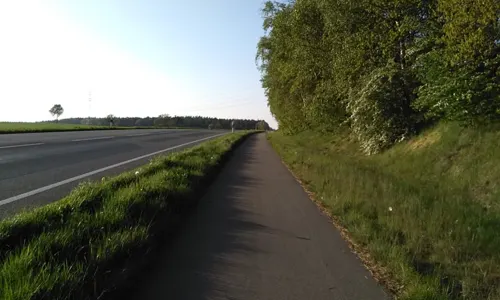
Hofladen Duden
Farm and orchard · 2.0 km
52 Stader Straße, Horneburg
Mo-Fr 07:00-18:00; Su 07:00-12:30, 16:00-18:00
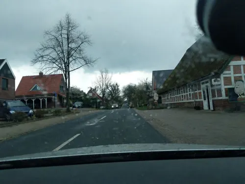
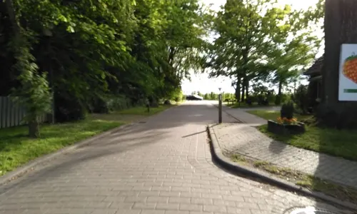
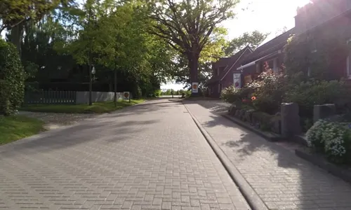

Museums and landmarks18

Handwerksmuseum
Museum · 0.8 km
Marschdamm, Horneburg
Tu 10:00-12:00; We 10:00-12:00; Th 10:00-12:00; Su[1]...



Altländer Prunkpforte
Monument and historic site · 3.1 km
56 Dorfstraße, Neuenkirchen
6 more on the map.
Parks, trails and playgrounds6

Freibad Horneburg
Sports field and stadium · 0.6 km
22 Bürgermeister-Löhden-Straße
Mo-Fr 06:00-08:30, Mo 13:00-19:30, Tu-Fr 11:00-19:30, Sa,Su,PH 09:00-18:30


Restaurants and cafes18
Antico
Restaurant · Italian, Italian Pizza
1 Im Kleinen Sande, Horneburg
Mo-Sa 12:00-14:00, 17:00-21:00; Su 12:00-21:00

Stechmann's Gasthof
Bar and pub
1 Lange Straße, Horneburg
Tu-Fr 11:30-13:30,17:00+; Sa 17:00+; Su 11:00-13:30,17:00+; Mo off

Goldene Ananas
Bar and pub
11 Bahnhofstraße, Horneburg
Tu-Th 17:00-23:00, Fr 17:00-03:00, Sa 15:00-03:00, Su 13:00-19:00
Gretchens Cafe & Lieblingsdinge
Cafe · German
Tu-Fr 09:00-18:00; Sa-Su 10:00-18:00


6 more on the map.
History
Horneburg belonged to the Prince-Archbishopric of Bremen. In 1648 the Prince-Archbishopric was transformed into the Duchy of Bremen, which was first ruled in personal union by the Swedish and from 1715 on by the Hanoverian Crown. In 1823 the Duchy was abolished and its territory became part of the Stade Region.
From the History section of Horneburg on Wikipedia, under CC BY-SA 4.0.
Where to stay4
Churches and places of worship3
Shopping4
Gas and EV charging1
Schools, colleges and libraries6
Healthcare2
Map of Horneburg
67 places. The map loads OpenStreetMap tiles when you open it.
Getting there and nearby towns
Hamburg Finkenwerder Airport (XFW) is the nearest airport with scheduled flights listed in OpenStreetMap, 17 km away.
- Jork 8 km east, about 8 min by car
- Harsefeld 8 km southwest, about 8 min by car
- Buxtehude 9 km southeast, about 9 min by car
- Hansestadt Stade 12 km northwest, about 12 min by car
- Wedel 12 km northeast, about 12 min by car
- Neu Wulmstorf 15 km east, about 15 min by car
- Sülldorf 17 km northeast, about 17 min by car
- Uetersen 21 km north, about 21 min by car
- Pinneberg 22 km northeast, about 22 min by car
- Hamburg 28 km east, about 28 min by car
Drive times are estimates from straight-line distance, not routes.
Local news
Headlines from INDB.
Reviews, tips and questions
Loading what members have shared...
Sources and licences
- GeoNames (CC BY 4.0): population, coordinates, regions and time zone
- Mapillary (see each image): photos
- OpenStreetMap contributors (ODbL 1.0): places, airports, map data
- Wikidata (CC0 1.0): elevation, founding date, time zone, website
- Wikimedia Commons (see each image): photos
- Wikipedia (CC BY-SA 4.0): overview and history text
Photo credits
- Schloss Agathenburg, Morn at English Wikipedia, CC BY-SA 3.0
- 21640 Horneburg, Germany - panoramio (5), hh oldman, CC BY 3.0
- 21640 Horneburg, Germany - panoramio (4), hh oldman, CC BY 3.0
- Bahnhof Horneburg - panoramio, hh oldman, CC BY 3.0
- 21640 Horneburg, Germany - panoramio (12), hh oldman, CC BY 3.0
- 21640 Horneburg, Germany - panoramio (6), hh oldman, CC BY 3.0
- 21640 Horneburg, Germany - panoramio (22), hh oldman, CC BY 3.0
- 21640 Horneburg, Germany - panoramio (21), hh oldman, CC BY 3.0
- 21640 Horneburg, Germany - panoramio (11), hh oldman, CC BY 3.0
- 21640 Horneburg, Germany - panoramio (13), hh oldman, CC BY 3.0
- 21640 Horneburg, Germany - panoramio (2), hh oldman, CC BY 3.0
- 21640 Horneburg, Germany - panoramio, hh oldman, CC BY 3.0
- 21640 Horneburg, Germany - panoramio (3), hh oldman, CC BY 3.0
- 21640 Horneburg, Germany - panoramio (1), hh oldman, CC BY 3.0
- Grabhügel (barrow) - panoramio, TMbux, CC BY-SA 3.0
- Nösler Grundoldendorf, DNösler, CC BY-SA 4.0
- KatharinenkircheBliedersdorf, Boereck 18:53, 30 March 2006 (UTC), Public domain
- Liebfrauenkirche Horneburg.nnw, NordNordWest, CC BY-SA 3.0 de
- Kirche Neuenkirchen, ClausNe, CC BY-SA 4.0
- Seite 38b, Joxer~dewiki, CC BY-SA 4.0
- Fire-fighting-facility node-4229497867, luepi4, CC BY 2.0
- Fire-fighting-facility node-4229507446, luepi4, CC BY 2.0
- Bahnübergang - panoramio (18), hh oldman, CC BY 3.0
- Gedenkstein - panoramio (23), hh oldman, CC BY 3.0
- Zum Gedenken der Gefallenen von Hornburg - panoramio, hh oldman, CC BY 3.0
- Fire-fighting-facility node-4083590688, luepi4, CC BY 2.0
- Fire-fighting-facility node-4229567724, luepi4, CC BY 2.0
- Bahnhofs Kiosk - panoramio, hh oldman, CC BY 3.0
- Kiosk-Cafe Dietz-Kleeblatt - panoramio, hh oldman, CC BY 3.0
- Fire-fighting-facility node-4083521934, luepi4, CC BY 2.0
- Fire-fighting-facility node-4083518262, luepi4, CC BY 2.0
- Stechmann's Gasthof - panoramio, hh oldman, CC BY 3.0
- Kreissparkasse - panoramio (3), hh oldman, CC BY 3.0
- Halal Pizza Service - panoramio, hh oldman, CC BY 3.0
- Fire-fighting-facility node-4083529337, luepi4, CC BY 2.0
- Fire-fighting-facility node-4083529574, luepi4, CC BY 2.0
- Fire-fighting-facility node-4229630259, luepi4, CC BY 2.0
- Fire-fighting-facility node-4229511487, luepi4, CC BY 2.0
- Fire-fighting-facility node-4229586484, luepi4, CC BY 2.0
- Fire-fighting-facility node-4229608545, luepi4, CC BY 2.0
- Handwerksmuseum - panoramio, hh oldman, CC BY 3.0
- Street-level photo, nesshof, CC BY-SA 4.0
- Street-level photo, veloroute_hamburg, CC BY-SA 4.0
- Street-level photo, calmapill, CC BY-SA 4.0
- Street-level photo, calmapill, CC BY-SA 4.0
- Street-level photo, veloroute_hamburg, CC BY-SA 4.0
- Street-level photo, calmapill, CC BY-SA 4.0
- Street-level photo, nesshof, CC BY-SA 4.0
- Street-level photo, calmapill, CC BY-SA 4.0
- Street-level photo, calmapill, CC BY-SA 4.0
- Street-level photo, veloroute_hamburg, CC BY-SA 4.0
- Street-level photo, calmapill, CC BY-SA 4.0
- Street-level photo, calmapill, CC BY-SA 4.0
- Street-level photo, veloroute_hamburg, CC BY-SA 4.0
- Street-level photo, calmapill, CC BY-SA 4.0
- Street-level photo, nesshof, CC BY-SA 4.0
- Street-level photo, nesshof, CC BY-SA 4.0
- Street-level photo, nesshof, CC BY-SA 4.0
- Street-level photo, calmapill, CC BY-SA 4.0
- Street-level photo, calmapill, CC BY-SA 4.0
- Street-level photo, veloroute_hamburg, CC BY-SA 4.0
- Street-level photo, veloroute_hamburg, CC BY-SA 4.0
- Street-level photo, nesshof, CC BY-SA 4.0
- Street-level photo, calmapill, CC BY-SA 4.0
- Street-level photo, nesshof, CC BY-SA 4.0
- Street-level photo, calmapill, CC BY-SA 4.0


Page built November 9, 2026. Spotted a mistake? Tell us or suggest a place.