


Why visit Isenbüttel
Townapedia lists 12 museums and landmarks, 39 parks and trails, 51 places to eat, 7 places to stay and 7 attractions in and around town.
Highlights include Verkaufsstand Kaufmann, International Wind- and Watermill Museum, Kranichsmoorsee and Anleger Wassersportclub Gifhorn.
Weather in Isenbüttel
Forecast from MET Norway (CC BY 4.0). Full forecast
About Isenbüttel
Isenbüttel is a municipality in the district of Gifhorn, in Lower Saxony, Germany. It is situated approximately 6 km southeast of Gifhorn, and 20 km north of Braunschweig.
From the Wikipedia article Isenbüttel (this version), under CC BY-SA 4.0.
Things to do7

Zier- und Speisekürbisse, Blumen, Holzsterne, Holzpilze und Brennholz
Farm and orchard · 3.7 km
Museums and landmarks12

International Wind- and Watermill Museum
Museum · 6.8 km
Museum in Gifhorn, Lower Saxony, Germany


Pottberg
Monument and historic site · 3.4 km
Der Pottberg ist ein alter Urnenfriedhof aus der Zeit von 600-400 v.Chr.

Sühnekreuz Calberlah I
Monument and historic site · 2.7 km
Sühnekreuz eines v. Campe
Sühnekreuz Calberlah II
Monument and historic site · 2.7 km
Sühnekreuz eines v. Campe
Parks, trails and playgrounds39




27 more on the map.
Restaurants and cafes51
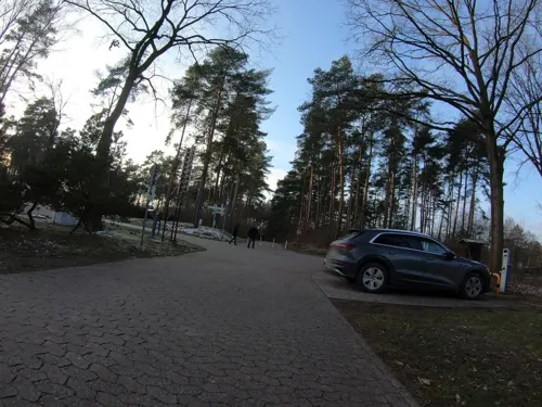
SEEHOTEL am Tankumsee
Restaurant · German · 3.6 km
2 Eichenpfad, Isenbüttel
Mo-Sa 06:30-10:00,12:00-14:00,18:00-22:30; Su...

Tang Dynasty
Restaurant · Chinese · 4.1 km
139b Braunschweiger Straße, Gifhorn
PH,We-Mo 11:30-15:00,17:00-22:00
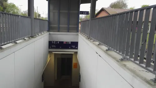
Charly´s Restaurant
Restaurant · 3.2 km
9 Am Bahnhof-Süd, Gifhorn
Tu-Fr 11:30-14:00, 17:00-21:30; Sa 16:00-21:30
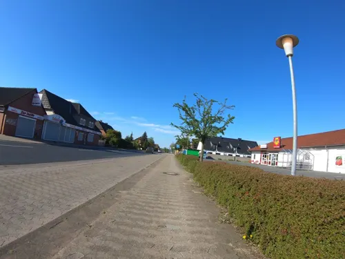
Leifert
Bakery · 4.0 km
10a Hauptstraße, Rötgesbüttel
Su 07:30-10:30; Mo-Fr 06:00-13:30; Sa 06:00-13:00
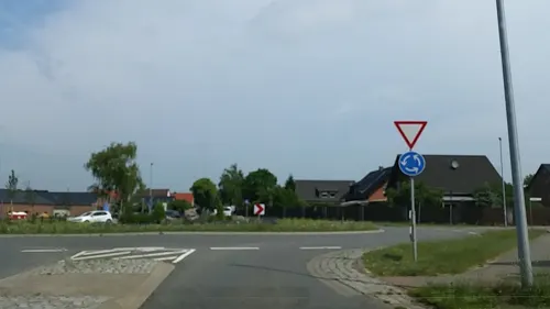
Paralia
Restaurant · Greek · 2.8 km
7 Dannenbütteler Weg
Mo-Sa 16:00-23:00; Su 12:00-14:30, 16:30-23:00
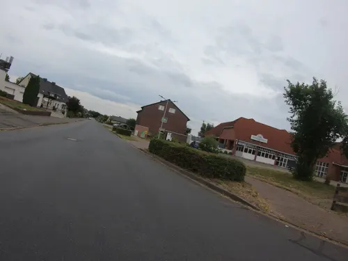
Tony's Restaurant
Restaurant · 3.3 km
16 Bahnhofstraße, Calberlah
Mo-Fr 17:00-22:00; Sa,Su 11:30-22:00
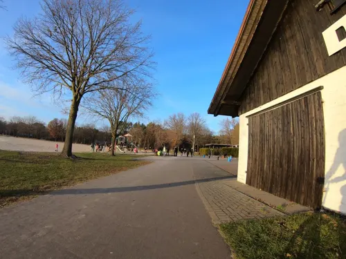
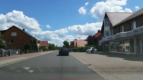
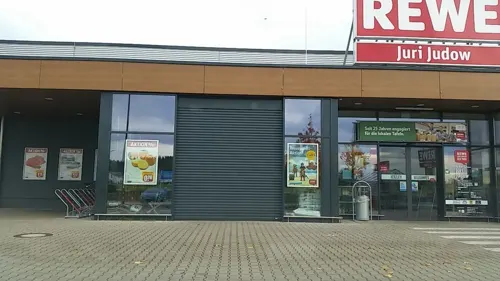


Da Mirko ImbissPizza
Restaurant · Pizza · 4.0 km
85 Hauptstraße, Calberlah
Mo off; Tu-Th 11:00-21:30; Fr 11:00-22:00; Sa 12:00-22:00; Su 12:00-21:00
39 more on the map.
Where to stay7
Churches and places of worship10
Freie Evangeliumschristen-Gemeinde
Church · Evangelical · 3.9 km
5 Am Allerkanal, Gifhorn
Albanisch-Islamischer Kulturverein e.V. Gifhorn
Place of worship · 4.1 km
20 Am Allerkanal, Gifhorn
Shopping20
Gas and EV charging4
Schools, colleges and libraries13
Healthcare4
Nordhoff-Apotheke im Gesundheitszentrum
Clinic and pharmacy
6 Wiesenhofweg, Isenbüttel
Map of Isenbüttel
167 places. The map loads OpenStreetMap tiles when you open it.
Getting there and nearby towns
Forschungsflughafen Braunschweig-Wolfsburg (BWE) is the nearest airport with scheduled flights listed in OpenStreetMap, 13 km away.
- Gifhorn 5 km north, about 5 min by car
- Sassenburg 10 km north, about 10 min by car
- Rethen 9 km southwest, about 9 min by car
- Wolfsburg 13 km east, about 13 min by car
- Lehre 13 km southeast, about 13 min by car
- Meinersen 16 km west, about 16 min by car
- Wendeburg 17 km southwest, about 17 min by car
- Braunschweig 19 km south, about 19 min by car
- Cremlingen 21 km south, about 21 min by car
- Vechelde 24 km southwest, about 24 min by car
Drive times are estimates from straight-line distance, not routes.
Local news
Headlines from INDB.
Reviews, tips and questions
Loading what members have shared...
Sources and licences
- GeoNames (CC BY 4.0): population, coordinates, regions and time zone
- Mapillary (see each image): photos
- OpenStreetMap contributors (ODbL 1.0): places, airports, map data
- Wikidata (CC0 1.0): elevation, founding date, time zone, website, landmarks and historic places
- Wikimedia Commons (see each image): photos
- Wikipedia (CC BY-SA 4.0): overview and history text
Photo credits
- Isenbüttel Rathaus, Axel Hindemith, Public domain
- Mühlenmuseum Gifhorn Panorama, No machine-readable author provided. ArtMechanic assumed (based on copyright claims)., CC BY-SA 3.0
- Kranichsmoorsee, TeWeBs, CC BY-SA 4.0
- Rötgesbüttel Grundschule (2), Reise Reise, CC BY-SA 4.0
- Calberlah Kapelle 1, Kirchenfan, CC0
- Bornsiek 2022-1, Kirchenfan, CC0
- EdesbüttelerRiedeDüker2ESKHehlenriede, Okernick, CC0
- Infotafel Pottberg (Wasbüttel), Rabanus Flavus, CC0
- Street-level photo, m4p1ll4ry, CC BY-SA 4.0
- Street-level photo, ibanez, CC BY-SA 4.0
- Street-level photo, sunnyteater, CC BY-SA 4.0
- Street-level photo, tian, CC BY-SA 4.0
- Street-level photo, aceini, CC BY-SA 4.0
- Street-level photo, m4p1ll4ry, CC BY-SA 4.0
- Street-level photo, m4p1ll4ry, CC BY-SA 4.0
- Street-level photo, m4p1ll4ry, CC BY-SA 4.0
- Street-level photo, tian, CC BY-SA 4.0
- Street-level photo, m4p1ll4ry, CC BY-SA 4.0
- Street-level photo, ibanez, CC BY-SA 4.0
- Street-level photo, tian, CC BY-SA 4.0
- Street-level photo, m4p1ll4ry, CC BY-SA 4.0
- Street-level photo, m4p1ll4ry, CC BY-SA 4.0
- Street-level photo, tian, CC BY-SA 4.0
- Street-level photo, tian, CC BY-SA 4.0
- Street-level photo, m4p1ll4ry, CC BY-SA 4.0
- Street-level photo, tian, CC BY-SA 4.0
- Street-level photo, tian, CC BY-SA 4.0
- Street-level photo, m4p1ll4ry, CC BY-SA 4.0
- Street-level photo, m4p1ll4ry, CC BY-SA 4.0
- Street-level photo, tian, CC BY-SA 4.0
- Street-level photo, m4p1ll4ry, CC BY-SA 4.0
- Street-level photo, m4p1ll4ry, CC BY-SA 4.0
- Street-level photo, ibanez, CC BY-SA 4.0
- Street-level photo, m4p1ll4ry, CC BY-SA 4.0
- Street-level photo, m4p1ll4ry, CC BY-SA 4.0

Page built November 9, 2026. Spotted a mistake? Tell us or suggest a place.