


Kaldenkirchen, Germany
Kaldenkirchen is a town of 10,090 people in North Rhine-Westphalia, Germany.
Why visit Kaldenkirchen
Townapedia lists 109 museums and landmarks, 35 parks and trails, 63 places to eat, 7 places to stay and 13 attractions in and around town.
Highlights include Brunen, Chico Spargelhof, Haus Baerlo (Burg) and Leuther Mühle.
Weather in Kaldenkirchen
Forecast from MET Norway (CC BY 4.0). Full forecast
About Kaldenkirchen
Kaldenkirchen (Limburgish: Kaldekerke) is a town in North Rhine-Westphalia in Germany, situated close to the Dutch border at Venlo. It is part of the municipality of Nettetal.
From the Wikipedia article Kaldenkirchen (this version), under CC BY-SA 4.0.
Things to do13

Brunen
Farm and orchard · 2.4 km
Tomatos
15b Busch, Nettetal
Tu-Fr 09:00-12:30,14:00-18:30; Sa 08:30-14:00
Chico Spargelhof
Farm and orchard · 2.1 km
Spargel
228a Steyler Straße, Nettetal
Apr-Jun: Mo 11:00-18:00; Tu-Fr 09:00-18:00; Sa 09:00-17:00; Su 10:00-14:00
Bonnacker Spargel- & Erdbeerhof
Farm and orchard · 1.6 km
186 Steyler Straße, Nettetal
Mo-Fr 08:30-18:00; Sa 08:30-16:00; Su 08:30-12:30
Hofladen Clemens
Farm and orchard · 1.9 km
19 Am Hellenberg, Nettetal
Apr-Jul Mo-Sa 09:00-18:30; Apr-Jul Su 09:00-17:00; Aug-Oct Mo-Sa...
Hofladen Wilms
Farm and orchard · 1.4 km
Vegtables, eggs
Tu-Th 08:30-17:30; Fr 08:00-17:30; Sa 08:00-14:00

Werner-Jaeger-Forum
Cinema and theater · 5.1 km
Theater hall in North Rhine-Westphalia, Germany
Joosten's Bauern & Floristiklädchen
Farm and orchard · 3.1 km
9 Hülst, Brüggen
Mo-Fr 09:00-18:30; Sa 08:00-14:00

Onze Beestenboel
Zoo and aquarium · 2.2 km
35 Auxiliatrixweg, Venlo
We 13:30-16:30; Fr 10:00-16:30; Su 10:00-16:30



1 more on the map.
Museums and landmarks109

Haus Baerlo (Burg)
Monument and historic site · 2.8 km
Erwähnt 1326 als adeliges Lehngut; früher mit Graben und Wall bewehrtes, festes Haus; markierte die Grenze zum Herzogtum Geldern.

Leuther Mühle
Monument and historic site · 3.7 km
Bei der Leuther Mühle handelt es sich um ein mit „1738“ bezeichnetes zweigeschossiges Backsteingebäude mit Nebenbauten. Das alte...
Tüschenmühle
Monument and historic site · 4.1 km
1-geschossig mit nicht durchgezogenen Achsen und Krüppelwalmdach; Backstein mit Ankersplinten; von 1752 noch die Fassade und ein Teil...

Älterer Jüdischer Friedhof Kaldenkirchen
Cemetery
1557 Quadratmeter große, umzäunte und von Hecken umstandene Begräbnisplatz; von vor 1843 bis 1923 belegt, wurde 1924 durch den Friedhof...
Dö schwoarten Herrjott
Monument and historic site · 3.2 km
Hochkreuz aus Tuff mit Korpus und Inschriftsowie mit Konsole mit Weihwasserbecken


Jüdischer Friedhof Akazienweg
Cemetery · 1.0 km
Eingezäunte Rasenfläche; im hinteren Bereich in zwei Reihen 13 Grabsteine und -platten; 3 Original, alle anderen hingegen Neu- bzw....


Museum van Bommel van Dam
Museum · 5.5 km
Museum in Venlo, the Netherlands

97 more on the map.
Parks, trails and playgrounds35





23 more on the map.
Restaurants and cafes63
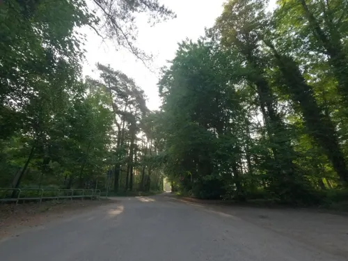
Hayatt Nettetal Galgenvenn
Restaurant · Oriental · 2.4 km
77 Knorrstraße, Nettetal
Sa-Su 12:00-22:00; Mo,We-Fr 16:00-22:00; Tu off
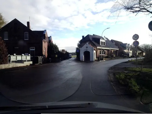
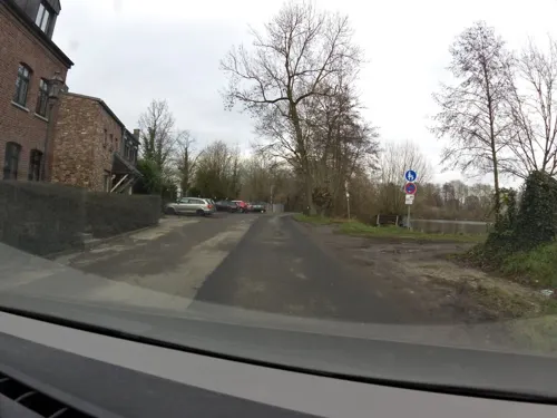
Lüthemühle
Restaurant · German, Mediterranean · 3.9 km
50 Lindenallee, Nettetal
Mo-Th 08:00-23:00; Fr-Sa 08:00-00:00; Su 08:00-21:00
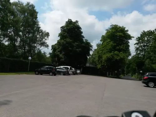
PURiNO De Wittsee
Restaurant · Italian · 2.9 km
25 Am Wittsee, Nettetal
Mo-Th 17:00-22:30; Fr 17:00-23:00; Sa 09:30-23:00; Su,PH 09:30-22:30
Restaurant Birkenhof
Restaurant · International · 4.0 km
60 Heerstraße, Nettetal
Mo-Fr 11:00-23:00; Sa-Su 09:00-23:00

Restaurant Olympia
Restaurant · Greek · 1.3 km
69 Buschstraße, Nettetal
Tu-Sa 16:30-22:00; PH,Su 12:00-21:00




51 more on the map.
History
The earliest reference to “Caldenkirken” appears in a document dated 1206.
Until 1794 the city belonged to the Duchy of Jülich. After the Congress of Vienna in 1814 Kaldenkirchen lay within the borders of Prussia. In In 1856 King Frederick William IV of Prussia permitted the use of “town” for this city. 1903 the German Emperor Wilhelm II permitted the city arms.
The synagogue was destroyed during the Kristallnacht. The city was evacuated during the last weeks of the Second World War. In 1947 a fire destroyed 90% of the surrounding forest.
In 1961 Kaldenkirchen had a population of 6305, 23% of whom were refugees. On 1 January 1970 Kaldenkirchen became part of the newly founded city of Nettetal.
Families from Kaldenkirchen were among the earliest emigrants to Pennsylvania. In 1683 thirteen German families emigrated on the ship Concord sailing from Rotterdam to Philadelphia. These families were members of the Religious Society of Friends (aka "Quakers") and Mennonites. Most were from the town of Krefeld, but some were from Kaldenkirchen. These thirteen families founded Germantown. Subsequent emigrants from Kaldenkirchen to Germantown included Paulus and Gertrude Kuster, the great-great-great-great-grandparents of U.S. Army colonel George Armstrong Custer.
From the History section of Kaldenkirchen on Wikipedia, under CC BY-SA 4.0.
Where to stay7
Churches and places of worship15
Shopping11
Gas and EV charging13
Schools, colleges and libraries8
Healthcare5
Map of Kaldenkirchen
250 places. The map loads OpenStreetMap tiles when you open it.
Getting there and nearby towns
Düsseldorf-Mönchengladbach Airport (MGL) is the nearest airport with scheduled flights listed in OpenStreetMap, 23 km away.
- Nettetal 6 km east, about 6 min by car
- Schwalmtal 12 km south, about 12 min by car
- Niederkrüchten 13 km south, about 13 min by car
- Straelen 14 km north, about 14 min by car
- Viersen 15 km southeast, about 15 min by car
- Kempen 16 km east, about 16 min by car
- Tönisvorst 21 km east, about 21 min by car
- Wegberg 21 km south, about 21 min by car
- Mönchengladbach 23 km southeast, about 23 min by car
- Krefeld 25 km east, about 25 min by car
Drive times are estimates from straight-line distance, not routes.
Local news
Headlines from INDB.
Reviews, tips and questions
Loading what members have shared...
Sources and licences
- GeoNames (CC BY 4.0): population, coordinates, regions and time zone
- Mapillary (see each image): photos
- OpenStreetMap contributors (ODbL 1.0): places, airports, map data
- Wikidata (CC0 1.0): elevation, founding date, time zone, website, landmarks and historic places
- Wikimedia Commons (see each image): photos
- Wikipedia (CC BY-SA 4.0): overview and history text
Photo credits
- Kaldenkirchen, Kriegerdenkmal, O.Falkner, CC BY-SA 3.0
- Kaldenkirchen StClemens HlMatthias 9740 201906, Karlunun, CC BY-SA 4.0
- Kaldenkirchen sunset - panoramio, siwko, CC BY 3.0
- Kaldenkirchen sunset - panoramio - siwko, siwko, CC BY 3.0
- Kaldenkirchen Splitterschutzzelle 01, Kurwal, CC BY-SA 4.0
- Kaldenkirchen Eurobahn ET 7 09 naar Hamm (25642227070), Rob Dammers, CC BY 2.0
- Station Kaldenkirchen, Vexer070, CC BY-SA 4.0
- Werner-Jaeger-Halle, Filo64, Public domain
- Raadhuis Tegelen, Torval, CC BY-SA 3.0
- Venlo LimburgsMuseum01, Markus Schweiss, CC BY-SA 3.0
- Impressie museum van Bommel van Dam - zicht vanuit station, CommunicatieMVBVD, CC BY-SA 4.0
- Sequoiafarm Sequoia sempervirens, Sverrir Mirdsson, CC BY-SA 3.0
- 1920s Abdij O.L.Vrouw Onbevlekt Ontvangen (Abdij Ulingsheide), Anonymous Unknown author, Public domain
- Leuther Mühle 1, Käthe u. Bernd Limburg, www.limburg-bernd.de, CC BY-SA 3.0 de
- Kaldenkirchen, prot. kerk, RomkeHoekstra, CC BY-SA 4.0
- Breyell - Pfarrkirche St. Lambertus - panoramio ShiftN, Edgar El, CC BY 3.0
- Wasser.Blick 10 Rohrdommelfläche 01, Clisch, CC BY-SA 4.0
- Wasser.Blick 11 - de Wittsee 01, Clisch, CC BY-SA 4.0
- Rittergut Baerlo, Käthe u. Bernd Limburg, www.limburg-bernd.de, CC BY-SA 3.0 de
- Weiher Mühle 2, Käthe u. Bernd Limburg, www.limburg-bernd.de, CC BY-SA 3.0 de
- Kaldenkirchen, Kirche St. Clemens, O.Falkner, CC BY-SA 3.0
- 2025 Stolpersteine Nettetal Cohen Abraham, Graph Pixel, CC0
- 2025 Stolpersteine Nettetal Cohen Else, Graph Pixel, CC0
- 2025 Stolpersteine Nettetal Cohen Erich, Graph Pixel, CC0
- Nettetal Naturdenkmal I 4.03, S601GIS, CC BY-SA 4.0
- With a most friendly driver.(Politiebusje II) - Flickr - Generaal Gibson, Bart from Amstelveen, Holland, CC BY 2.0
- Uitzicht op spoor 1, Vexer070, CC BY-SA 4.0
- Zijkant station + kaartjes automaat, Vexer070, CC BY-SA 4.0
- Zijkant station, Vexer070, CC BY-SA 4.0
- Tunnels richting Viersen en Venlo, Vexer070, CC BY-SA 4.0
- Tunnel richting Venlo, Vexer070, CC BY-SA 4.0
- Uitzicht op spoor 2, Vexer070, CC BY-SA 4.0
- Uitzicht vanaf spoor 3 richting Venlo, Vexer070, CC BY-SA 4.0
- Breyell DBC 193 333 Unit Cargo (49720326183), Rob Dammers, CC BY 2.0
- Breyel DBS 189 023 met Unit Cargo richting Nederland (21865899454), Rob Dammers, CC BY 2.0
- A61 B7 B221, Saviour1981, CC BY-SA 3.0
- Street-level photo, gboellertz, CC BY-SA 4.0
- Street-level photo, poxonline, CC BY-SA 4.0
- Street-level photo, hektor1989, CC BY-SA 4.0
- Street-level photo, rausk, CC BY-SA 4.0
- Street-level photo, zoegglmeyr, CC BY-SA 4.0
- Street-level photo, joopjrvdl, CC BY-SA 4.0
- Street-level photo, joopjrvdl, CC BY-SA 4.0
- Street-level photo, rausk, CC BY-SA 4.0
- Street-level photo, gboellertz, CC BY-SA 4.0
- Street-level photo, joopjrvdl, CC BY-SA 4.0
- Street-level photo, joopjrvdl, CC BY-SA 4.0
- Street-level photo, hektor1989, CC BY-SA 4.0
- Street-level photo, poxonline, CC BY-SA 4.0
- Street-level photo, joopjrvdl, CC BY-SA 4.0
- Street-level photo, joopjrvdl, CC BY-SA 4.0
- Street-level photo, joopjrvdl, CC BY-SA 4.0
- Street-level photo, poxonline, CC BY-SA 4.0
- Street-level photo, joopjrvdl, CC BY-SA 4.0


Page built November 8, 2026. Spotted a mistake? Tell us or suggest a place.