


Nettetal, Germany
Nettetal is a town of 42,417 people in North Rhine-Westphalia, Germany, founded in January 1, 1970.
Why visit Nettetal
Townapedia lists 187 museums and landmarks, 82 parks and trails, 126 places to eat, 20 places to stay and 26 attractions in and around town.
Highlights include Hofkäserei Konnen, Landhof Hermans, Stammenmühle and Textilmuseum Die Scheune.
Weather in Nettetal
Forecast from MET Norway (CC BY 4.0). Full forecast
About Nettetal
Nettetal (German pronunciation: [ˈnɛtətaːl] , lit. 'Nette Valley') is a town in the district of Viersen, North Rhine-Westphalia, Germany. It is situated in the Lower Rhine region.
From the Wikipedia article Nettetal (this version), under CC BY-SA 4.0.
Photos of Nettetal


Things to do26
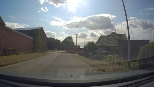
Hofkäserei Konnen
Farm and orchard · 4.8 km
Ziegenkäse, Ziegenmilcheis, Ziegenlammfleisch, Wurstwaren
211 Mörtelsstraße, Grefrath
Mo-Fr 09:00-18:00; Sa 10:00-17:00
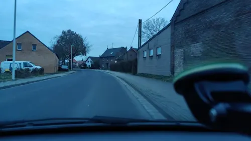
Landhof Hermans
Farm and orchard · 3.4 km
Spargel, Erdbeeren und Kartoffeln
32 Dyck, Nettetal
Mo-Su 09:00-18:00
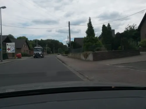
Spargel- und Erdbeerhof Heyman
Farm and orchard · 3.5 km
75 Dyck, Nettetal
Apr-Jun: Mo-Sa 08:00-19:00; Apr-Jun: Su 09:00-18:00

Werner-Jaeger-Forum
Cinema and theater · 1.0 km
Theater hall in North Rhine-Westphalia, Germany

Festhalle Viersen
Cinema and theater · 10.3 km
Theatre, concert and multi-purpose hall in Viersen, Germany


Brunen
Farm and orchard · 4.0 km
Tomatos
15b Busch, Nettetal
Tu-Fr 09:00-12:30,14:00-18:30; Sa 08:30-14:00
Hofladen Helfeshof
Farm and orchard · 0.9 km
Eier,Kartoffeln,Gemüse,Hähnchen,Kürbisse
15 Wevelinghoven, Nettetal
Mo-Fr 09:00-18:30; Tu off; We off; Sa 09:00-13:00
Hofladen Clemens
Farm and orchard · 5.2 km
19 Am Hellenberg, Nettetal
Apr-Jul Mo-Sa 09:00-18:30; Apr-Jul Su 09:00-17:00; Aug-Oct Mo-Sa...
Hofladen Wilms
Farm and orchard · 6.3 km
Vegtables, eggs
Tu-Th 08:30-17:30; Fr 08:00-17:30; Sa 08:00-14:00
Kürbishof Draack
Farm and orchard · 5.6 km
8 Grefrather Landstraße, Wachtendonk
von September bis Anfang November ganztägig
14 more on the map.
Museums and landmarks187

Stammenmühle
Monument and historic site · 1.8 km
Turmwindmühle, Backstein geschlämmt mit Haubendach und Holzflügeln. Flügel 2007 rekonstruiert.


Burg Ingenhoven
Monument and historic site · 1.3 km
Herrenhaus, dreigeschossig in 3:4 Achsen, Backstein mit Sandsteingewänden und Ankersplinten, hohes Walmdach mit vier runden Ecktürmchen;...

Schloss Krickenbeck
Monument and historic site · 4.2 km
Mitte des 13. Jahrhunderts bedeutende niederrheinische Wasserburg; nach Brand als dreiflügelige Anlage in Neu-Renaissance-Formen...

Haus Baerlo (Burg)
Monument and historic site · 3.2 km
Erwähnt 1326 als adeliges Lehngut; früher mit Graben und Wall bewehrtes, festes Haus; markierte die Grenze zum Herzogtum Geldern.

Leuther Mühle
Monument and historic site · 3.8 km
Bei der Leuther Mühle handelt es sich um ein mit „1738“ bezeichnetes zweigeschossiges Backsteingebäude mit Nebenbauten. Das alte...

Nelsen - Mühle
Monument and historic site · 2.0 km
Ehemalige 3-flügelige Mühle, davon erhalten der vordere Winkelbau mit 2-geschossigem Backsteinwohnhaus in 4 Achsen mit Rundbogenfenster...

Teufelstein
Monument and historic site · 4.9 km
Findling (tertiärer Quarzit); Maße ca. 160 × 120 × 30 cm Der Stein hat die Form eines ungleichmäßigen Vierecks. auch ND30
Tüschenmühle
Monument and historic site · 4.1 km
1-geschossig mit nicht durchgezogenen Achsen und Krüppelwalmdach; Backstein mit Ankersplinten; von 1752 noch die Fassade und ein Teil...

Jüdischer Friedhof Süchteln
Cemetery · Nondenominational · 6.1 km
Der Friedhof wurde 1749 in Benutzung genommen als Nachfolger eines älteren Friedhofs. 1931 fand die letzte Beisetzung statt. 1955 wurde...

Kreiskriegerdenkmal
Monument and historic site · 6.1 km
Kriegerdenkmal für die in den Kriegen 1864, 1866 und 1870/71 Gefallenen des Kreises Kempen
closed
Schaager Mühle
Monument and historic site · 4.9 km
Windmühle ohne Flügel, Backstein, mit Nebengebäuden aus Backstein
175 more on the map.
Parks, trails and playgrounds82

Niederrheinisches Freilichtmuseum
Sports field and stadium · 5.0 km
1 Am Freilichtmuseum, Grefrath
Apr-Oct: Tu-Su 10:00-18:00; Nov-Mar: Tu-Su 10:00-16:00


Krickenbecker Seen und Kleiner De Wittsee
Hiking and trails · 2.4 km


Viersen sculpture collection
Park · 10.0 km
Sculpture museum in Viersen, Germany

70 more on the map.
Restaurants and cafes126
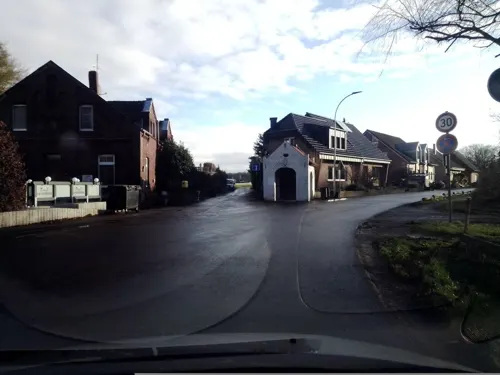
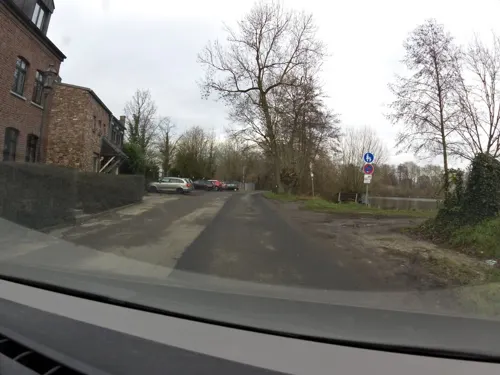
Lüthemühle
Restaurant · German, Mediterranean · 2.2 km
50 Lindenallee, Nettetal
Mo-Th 08:00-23:00; Fr-Sa 08:00-00:00; Su 08:00-21:00
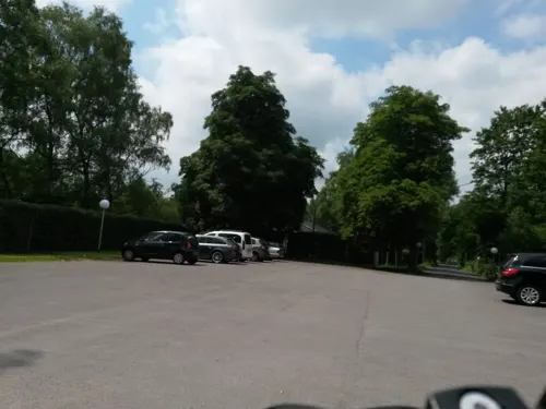
PURiNO De Wittsee
Restaurant · Italian · 3.2 km
25 Am Wittsee, Nettetal
Mo-Th 17:00-22:30; Fr 17:00-23:00; Sa 09:30-23:00; Su,PH 09:30-22:30
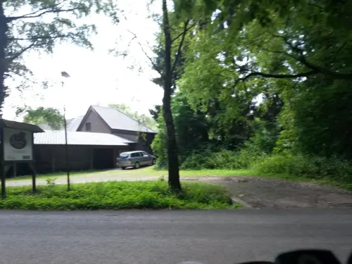
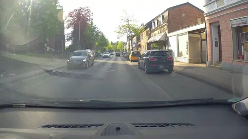
Pizzeria Fratelli
Restaurant · Italian · 1.1 km
1a Wevelinghover Straße, Nettetal
Mo-Fr 11:00-14:00,17:00-22:30; Sa,Su 14:30-22:30
Restaurant Birkenhof
Restaurant · International · 5.5 km
60 Heerstraße, Nettetal
Mo-Fr 11:00-23:00; Sa-Su 09:00-23:00
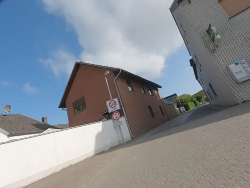
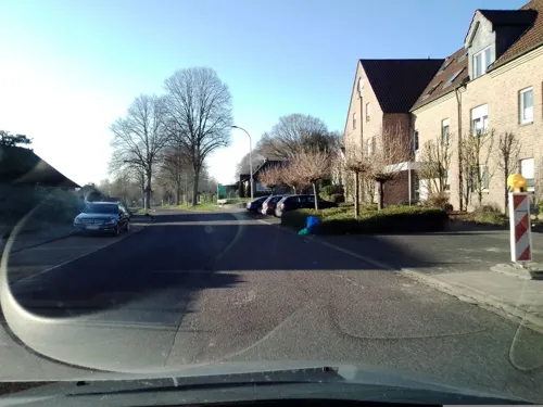
Hotel & Restaurant Am Krickenbecker See
Restaurant · German · 3.6 km
"nur für Veranstaltungen, nach Absprache"

114 more on the map.
History
Nettetal was founded on January 1, 1970, when the former townships Leuth, Breyell, Hinsbeck and former towns/cities Lobberich and Kaldenkirchen were merged. All five communities had developed around the river Nette.
Lobberich, Hinsbeck, and Leuth belonged historically to the Upper Quarter of Guelders and thus to the Southern Netherlands. During the War of the Spanish Succession, these places were occupied by Prussia, along with the other municipalities that went on to form Prussian Upper Guelders in 1713.
Kaldenkirchen, Breyell and Schaag, on the other hand, historically belonged to the Duchy of Jülich.
Nettetal originally contained five boroughs, until Schaag separated from Breyell in 1995, becoming the sixth borough.
At the time of its formation, it was considered too problematic to try and combine all five coats of arms into one, so a new coat of arm was introduced in 1971. It shows a water lily before a blue blackground, symbolizing the predominance of nature and the variety of lakes. Five water lily leaves represent the five founding boroughs of Nettetal.
From the History section of Nettetal on Wikipedia, under CC BY-SA 4.0.
More about Nettetal
Geography
Nettetal is located in the middle of the cross-border Maas-Schwalm-Nette Nature Park, along the border with the Netherlands (the northwest edges of Kaldenkirchen and Leuth touch the border), approximately 20 km (12 mi) north-west of Mönchengladbach, Germany, and 10 km (6.2 mi) south-east of Venlo, Netherlands. The Jenische, large number of a local minority lives nearby in the area.
In addition to the river Nette, peat mining from the 16th to the 19th century has resulted in the formation of twelve lakes in the municipality.
The Nette, broad forest, heath areas and lakes (see next section) make Nettetal a central resort in the Maas-Schwalm-Nette Nature Park.
Nettetal features 12 lakes, with a combined area of 179 hectares (440 acres).
From the Wikipedia article Nettetal, under CC BY-SA 4.0.
Notable people from Nettetal
- Wolfram KleinGerman footballer
Born in Nettetal, according to Wikidata (CC0). Each name links to its Wikipedia article.
Where to stay20
DJH Jugendherberge Nettetal-Hinsbeck - Zirkus-Jugendherberge
Motel and hotel · 2.7 km
1 Heide, Nettetal
Churches and places of worship51
Shopping36
Gas and EV charging17
Schools, colleges and libraries26
Healthcare19
Map of Nettetal
250 places. The map loads OpenStreetMap tiles when you open it.
Getting there and nearby towns
Düsseldorf-Mönchengladbach Airport (MGL) is the nearest airport with scheduled flights listed in OpenStreetMap, 18 km away.
- Grefrath 5 km northeast, about 5 min by car
- Kaldenkirchen 6 km west, about 6 min by car
- Viersen 10 km southeast, about 10 min by car
- Kempen 11 km northeast, about 11 min by car
- Brüggen 11 km southwest, about 11 min by car
- Schwalmtal 11 km south, about 11 min by car
- Wachtendonk 11 km north, about 11 min by car
- Niederkrüchten 14 km south, about 14 min by car
- Straelen 14 km north, about 14 min by car
- Tönisvorst 15 km east, about 15 min by car
Drive times are estimates from straight-line distance, not routes.
Towns near Nettetal


Keep exploring
Local news
Headlines from INDB.
Reviews, tips and questions
Loading what members have shared...
Sources and licences
- GeoNames (CC BY 4.0): population, coordinates, regions and time zone
- Mapillary (see each image): photos
- OpenStreetMap contributors (ODbL 1.0): places, airports, map data
- Wikidata (CC0 1.0): elevation, founding date, time zone, website, landmarks and historic places
- Wikimedia Commons (see each image): photos
- Wikipedia (CC BY-SA 4.0): overview and history text
Photo credits
- Krickenbeck Blick vom Park, An-d, CC BY-SA 3.0
- Nettetal Lobberich Wasserturm 2026, Oberlausitzerin64, CC BY-SA 4.0
- Radweg im Neubaugebiet. Nettetal-Lobberich - geo.hlipp.de - 20707, Udo und Joan Fugel on geo.hlipp.de, CC BY-SA 2.0
- Nettetal-Lobberich, de watertoren Dm148 IMG 7095 2023-07-10 14.41, Michielverbeek, CC BY-SA 4.0
- Burg Ingenhoven in Nettetal-Lobberich - geo.hlipp.de - 20706, Udo und Joan Fugel on geo.hlipp.de, CC BY-SA 2.0
- MEDIMAX Nettetal, Michael Jeltsch/MEDIMAX, CC BY-SA 4.0
- Nettetal Schönkes Krüz, Kurwal, CC BY-SA 4.0
- Schlöp 1 (Nettetal-Hinsbeck) (1), DiAuras, CC BY-SA 4.0
- Ringstand Nettetal Bocholt, Kurwal, CC BY-SA 4.0
- 2015-02 Stammenmühle-Nettetal SW, Yvonne Bentele, CC BY-SA 4.0
- 2015-02 Stammenmühle-Nettetal, Yvonne Bentele, CC BY-SA 4.0
- Wegekreuz Nettetal Bocholt 17, Kurwal, CC BY-SA 4.0
- Kreuzkapelle in Nettetal-Hinsbeck - geo.hlipp.de - 20710, Udo und Joan Fugel on geo.hlipp.de, CC BY-SA 2.0
- Am Ferkensbruch bei Sassenfeld im Nettetal - geo.hlipp.de - 20703, Udo und Joan Fugel on geo.hlipp.de, CC BY-SA 2.0
- Werner-Jaeger-Halle, Filo64, Public domain
- Festhalle viersen, Ichmichi at German Wikipedia, Public domain
- Viersen - Rathauspark - Optimus II 03 ies, Frank Vincentz, CC BY-SA 3.0
- Aussichtsturm auf dem Taubenberg, Beisenkrieger, CC BY-SA 4.0
- Lobberich, kasteel foto2 2009-07-05 13.47, Michielverbeek, CC BY-SA 3.0
- St. Peter (Boisheim) (1) ShiftN, Rudolfo42, CC BY-SA 4.0
- Innenhof Dorenburg, Mino1997, CC BY-SA 3.0
- Leuther Mühle 1, Käthe u. Bernd Limburg, www.limburg-bernd.de, CC BY-SA 3.0 de
- Grefrath StLaurentius, Stefan Probst, Stp78 at de.wikipedia, CC BY-SA 3.0
- TextilScheune, Bodoklecksel, CC BY-SA 3.0
- St. Sebastian (Westansicht), Gymnocephalus, CC BY-SA 3.0
- Kaldenkirchen, prot. kerk, RomkeHoekstra, CC BY-SA 4.0
- 2019 02 17 NSG Burgbruch (VIE-032) 3, Rudolfo42, CC BY-SA 4.0
- 2019 02 24 NSG Nettbruch (VIE-019) 6, Rudolfo42, CC BY-SA 4.0
- Nettetal-Hinsbeck Johanniskapelle, Graph Pixel, CC0
- Rittergut Baerlo, Käthe u. Bernd Limburg, www.limburg-bernd.de, CC BY-SA 3.0 de
- Teufelsstein Heronger Buschberge, Roggenstubs, CC BY-SA 4.0
- Weiher Mühle 2, Käthe u. Bernd Limburg, www.limburg-bernd.de, CC BY-SA 3.0 de
- 2019 01 19 NSG Grutbend (VIE-015) 2, Rudolfo42, CC BY-SA 4.0
- Wankumer Heide 04 NRW, TDG-Foto, CC BY-SA 4.0
- Glabbacher Bruch 2015, Tuxyso, CC BY-SA 3.0
- 2019 02 24 NSG Nettbruch (VIE-019) 1, Rudolfo42, CC BY-SA 4.0
- 2019 06 28 Oberer Breyeller See (1), Rudolfo42, CC BY-SA 4.0
- 2019 06 28 Unterer Breyeller See (2), Rudolfo42, CC BY-SA 4.0
- Dornbusch, ich, Public domain
- Boisheim kirche, Ichmichi at German Wikipedia, CC BY-SA 3.0
- Kaldenkirchen, Kirche St. Clemens, O.Falkner, CC BY-SA 3.0
- Nelsenmühle 2, Käthe u. Bernd Limburg, www.limburg-bernd.de, CC BY-SA 3.0 de
- Hinsbeck kirche, Ichmichi at German Wikipedia, CC BY-SA 3.0
- Breyell - Pfarrkirche St. Lambertus - panoramio ShiftN, Edgar El, CC BY 3.0
- 2015-02 Stammenmühle Nettetal-Schild, Yvonne Bentele, CC BY-SA 4.0
- Schloss Krickenbeck Innenhof, Mino1997, CC BY-SA 3.0 de
- Street-level photo, poxonline, CC BY-SA 4.0
- Street-level photo, joopjrvdl, CC BY-SA 4.0
- Street-level photo, joopjrvdl, CC BY-SA 4.0
- Street-level photo, zoegglmeyr, CC BY-SA 4.0
- Street-level photo, rausk, CC BY-SA 4.0
- Street-level photo, poxonline, CC BY-SA 4.0
- Street-level photo, hektor1989, CC BY-SA 4.0
- Street-level photo, rausk, CC BY-SA 4.0
- Street-level photo, poxonline, CC BY-SA 4.0
- Street-level photo, joopjrvdl, CC BY-SA 4.0
- Street-level photo, joopjrvdl, CC BY-SA 4.0
- Street-level photo, joopjrvdl, CC BY-SA 4.0
- Street-level photo, joopjrvdl, CC BY-SA 4.0
- Street-level photo, joopjrvdl, CC BY-SA 4.0
- Street-level photo, joopjrvdl, CC BY-SA 4.0
- Street-level photo, zuse, CC BY-SA 4.0
- Street-level photo, rausk, CC BY-SA 4.0
- Street-level photo, joopjrvdl, CC BY-SA 4.0
- Street-level photo, zoegglmeyr, CC BY-SA 4.0
- Street-level photo, rausk, CC BY-SA 4.0
- Street-level photo, joopjrvdl, CC BY-SA 4.0
- Street-level photo, joopjrvdl, CC BY-SA 4.0
- Street-level photo, joopjrvdl, CC BY-SA 4.0


Page built November 9, 2026. Spotted a mistake? Tell us or suggest a place.