


Karlsdorf-Neuthard, Germany
Karlsdorf-Neuthard is a town of 9,329 people in Baden-Wurttemberg, Germany.
Why visit Karlsdorf-Neuthard
Townapedia lists 6 museums and landmarks, 8 parks and trails, 51 places to eat, 5 places to stay and 6 attractions in and around town.
Highlights include erdbeermund, Schäffner Landkost-Hofladen, Kohlplattenschlag and Wilhelmsäcker.
Weather in Karlsdorf-Neuthard
Forecast from MET Norway (CC BY 4.0). Full forecast
About Karlsdorf-Neuthard
Karlsdorf-Neuthard is a municipality in the district of Karlsruhe in Baden-Württemberg, Germany.
From the Wikipedia article Karlsdorf-Neuthard (this version), under CC BY-SA 4.0.
Things to do6
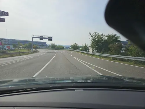
erdbeermund
Cinema and theater · 2.3 km
1d Simon-Hegele-Straße, Karlsdorf-Neuthard
Mo-Th 09:00-00:00; Fr,Sa 09:00-01:00; Su 10:00-23:00
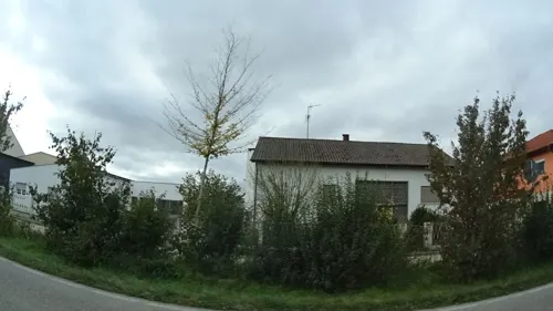
Schäffner Landkost-Hofladen
Farm and orchard · 2.8 km
19 Neutharder Straße, Bruchsal
Tu,Th,Fr 09:00-18:00; Sa 08:00-16:00

Spargelhof Heneka
Farm and orchard · 1.0 km
69 Hauptstraße, Karlsdorf-Neuthard
Apr-Jun Su 08:00-13:00; Apr-Jun Mo-Sa,PH 08:00-18:00; Jan-Mar,Jul-Dec off
s'Hoflädle
Farm and orchard · 2.9 km
25 Spechaastraße, Stutensee
Sa 08:30-12:30,08:30-12:00

Museums and landmarks6

Altes Rathaus Karlsdorf / Heimatmuseum
Monument and historic site · 0.8 km
56 Amalienstraße, Karlsdorf-Neuthard

Parks, trails and playgrounds8





Restaurants and cafes51
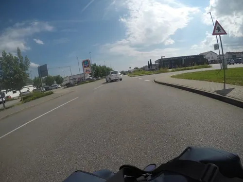
Bäcker Görtz
Bakery · 1.8 km
1 Erich-Keßler-Straße, Karlsdorf-Neuthard
Mo-Fr 05:30-18:30; Sa 06:00-17:00; Su,PH 07:30-12:00
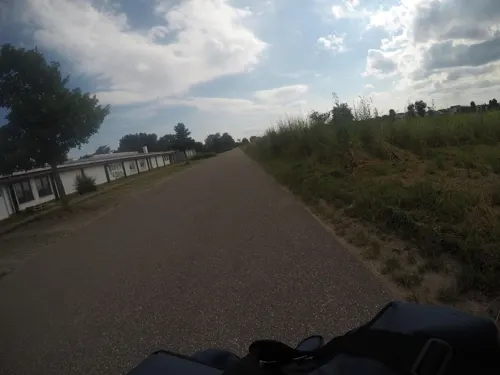
Hellas Salute
Restaurant · Mediterranean, Greek, Italian, Pizza · 0.6 km
2 Altenbürgzentrum, Karlsdorf-Neuthard
Tu-Sa 17:00-23:00; Su,PH 12:00-22:00

Imperium Spöck
Restaurant · German · 3.0 km
103 Spechaastraße, Stutensee
Tu-Fr 11:00-14:00,17:00-21:45; Sa 14:00-21:45; Su,PH 12:00-20:45
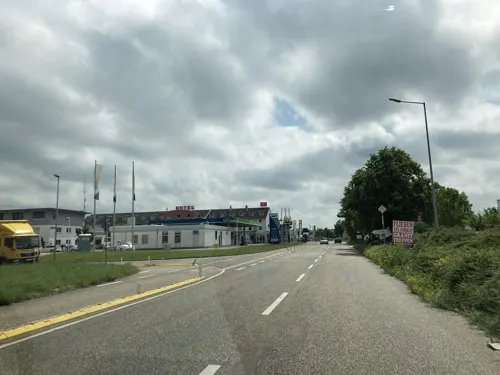
Kaiserpalast
Restaurant · Chinese · 2.4 km
17 Kammerforststraße, Bruchsal
Mo-Su 11:30-15:00,17:30-23:30
Parduzi
Restaurant · Mediterranean · 2.6 km
1 Otto-Lilienthal-Weg, Bruchsal
Tu-Fr 17:00-21:30; PH,Sa-Su 11:00-21:00; Mo off
Pizzeria Forum
Restaurant · Italian · 1.2 km
2 Kohlfahrtstraße
We-Sa 17:30-22:00; Su,PH 11:30-14:00, 17:30-21:30; Mo,Tu off

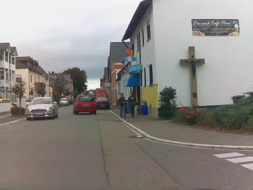
Bäckerei und Konditorei Thollembeek
Bakery · 1.2 km
7 Bahnhofstraße, Karlsdorf-Neuthard
Mo-Fr 05:30-18:00; Sa 05:30-13:00; Su 08:00-11:00
Richard Nussbaumer
Bakery · 2.7 km
23 Waldhornstraße, Stutensee
Mo-Fr 06:00-18:00; Sa 06:00-13:00; Su,PH 08:00-11:00
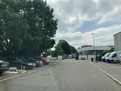
Billard Sportpark
Bar and pub · 2.2 km
5 Molzaustraße, Bruchsal
Mo-Fr 16:00-00:00; Sa,Su 14:00-00:00; PH "varies, check homepage"


39 more on the map.
History
The municipality of Karlsdorf-Neuthard was formed by a voluntary merger of the villages of Karlsdorf and Neuthard on January 1, 1975.
Karlsdorf was founded in 1813, when Dettenheim residents, who frequently experienced floods from the river Rhine, resettled on approval of Karl, Grand Duke of Baden within the confines of Altenbürg. The new settlement was named in honour of the Grand Duke.
Neuthard was documented for the first time in 1281. The village belonged to the Bishopric of Speyer and was assigned to the Grand Duchy of Baden in 1803.
From the History section of Karlsdorf-Neuthard on Wikipedia, under CC BY-SA 4.0.
Where to stay5
Churches and places of worship10
St. Sebastian
Church · Roman Catholic · 1.3 km
67 Kirchstraße, Karlsdorf-Neuthard
Maria-Hilf-Kapelle
Church · Roman Catholic · 2.9 km
16 Neutharder Straße, Bruchsal
Shopping12
Gas and EV charging15
Schools, colleges and libraries7
Healthcare3
Map of Karlsdorf-Neuthard
123 places. The map loads OpenStreetMap tiles when you open it.
Getting there and nearby towns
City-Airport Mannheim (MHG) is the nearest airport with scheduled flights listed in OpenStreetMap, 38 km away.
- Graben-Neudorf 5 km northwest, about 5 min by car
- Bruchsal 5 km east, about 5 min by car
- Hambrücken 6 km north, about 6 min by car
- Ubstadt-Weiher 8 km northeast, about 8 min by car
- Linkenheim-Hochstetten 9 km west, about 9 min by car
- Weingarten 9 km south, about 9 min by car
- Eggenstein-Leopoldshafen 11 km southwest, about 11 min by car
- Philippsburg 12 km northwest, about 12 min by car
- Waghäusel 13 km north, about 13 min by car
- Kronau 12 km northeast, about 12 min by car
Drive times are estimates from straight-line distance, not routes.
Local news
Headlines from INDB.
Reviews, tips and questions
Loading what members have shared...
Sources and licences
- GeoNames (CC BY 4.0): population, coordinates, regions and time zone
- Mapillary (see each image): photos
- OpenStreetMap contributors (ODbL 1.0): places, airports, map data
- Wikidata (CC0 1.0): elevation, founding date, time zone, website
- Wikimedia Commons (see each image): photos
- Wikipedia (CC BY-SA 4.0): overview and history text
Photo credits
- Kohlplattenschlag von Sueden, Rolf Thum, CC BY-SA 2.0 de
- Naturschutzgebiet Wilhelmsäcker Stutensee, Getuem, CC BY-SA 4.0
- Stutensee Spoeck Evangelische Kirche 20070524, Rudolf Stricker, CC BY-SA 3.0
- Karlsdorf Kath Kirche, Baden er, CC BY-SA 3.0
- Neuthard Kirche, Jens Dutzi, CC BY-SA 3.0 de
- Stutensee Spoeck Katholische Kirche 20070524, Rudolf Stricker, CC BY-SA 3.0
- Landappbw 760874 1820 St. Jakobus Karlsdorf, Martin Hahn, CC0
- Pfinzkanal, Fußgängerbrücke und Wehr bei Karlsdorf, Hozro, CC0
- Pfinz-Korrektion bei Neuthard (4), Hozro, CC0
- Alte Pfinz, Abzweig von der Pfinz-Korrektion, Hozro, CC0
- Neuthard, St. Sebastian, Orgel (1) (cropped 2), Subbass1, CC BY-SA 4.0
- Neuthard, St. Sebastian, Orgel (1), Subbass1, CC BY-SA 4.0
- Neuthard, St. Sebastian, Orgel (2), Subbass1, CC BY-SA 4.0
- Neuthard, St. Sebastian, Orgel (1) (cropped), Subbass1, CC BY-SA 4.0
- Neuthard, St. Sebastian, Orgel (3), Subbass1, CC BY-SA 4.0
- Saalbach, Aquädukt über den Saalbachkanal, Hozro, CC0
- Saalbach, Aquädukt über den Saalbachkanal (5), Hozro, CC0
- Street-level photo, mfa, CC BY-SA 4.0
- Street-level photo, knistertoni, CC BY-SA 4.0
- Street-level photo, tasmaniadevil, CC BY-SA 4.0
- Street-level photo, mfa, CC BY-SA 4.0
- Street-level photo, lllooommm, CC BY-SA 4.0
- Street-level photo, mfa, CC BY-SA 4.0
- Street-level photo, ramap, CC BY-SA 4.0
- Street-level photo, toho, CC BY-SA 4.0
- Street-level photo, mfa, CC BY-SA 4.0
- Street-level photo, ramap, CC BY-SA 4.0
- Street-level photo, tasmaniadevil, CC BY-SA 4.0
- Street-level photo, tasmaniadevil, CC BY-SA 4.0
- Street-level photo, mfa, CC BY-SA 4.0
- Street-level photo, tasmaniadevil, CC BY-SA 4.0
- Street-level photo, tasmaniadevil, CC BY-SA 4.0
- Street-level photo, Hightower-, CC BY-SA 4.0
- Street-level photo, dns_vlpt, CC BY-SA 4.0
- Street-level photo, dns_vlpt, CC BY-SA 4.0
- Street-level photo, tasmaniadevil, CC BY-SA 4.0
- Street-level photo, tasmaniadevil, CC BY-SA 4.0
- Street-level photo, tasmaniadevil, CC BY-SA 4.0
- Street-level photo, knistertoni, CC BY-SA 4.0
- Street-level photo, tasmaniadevil, CC BY-SA 4.0


Page built November 9, 2026. Spotted a mistake? Tell us or suggest a place.