


Linkenheim-Hochstetten, Germany
Linkenheim-Hochstetten is a town of 11,599 people in Baden-Wurttemberg, Germany.
Why visit Linkenheim-Hochstetten
Townapedia lists 22 museums and landmarks, 27 parks and trails, 66 places to eat, 2 places to stay and 2 attractions in and around town.
Highlights include Biolandhof Ritz, Gemüsebau Kammerer Hofladen, Heimatmuseum Leopoldshafen and Museumsfähre "Sophie".
Weather in Linkenheim-Hochstetten
Forecast from MET Norway (CC BY 4.0). Full forecast
About Linkenheim-Hochstetten
Linkenheim-Hochstetten (German pronunciation: [ˈlɪŋkŋ̍haɪ̯m ˈhoːxˌʃtɛtn̩]) is a municipality in the district of Karlsruhe, Baden-Württemberg, Germany. It is situated on the right bank of the Rhine, 17 km north of Karlsruhe.
From the Wikipedia article Linkenheim-Hochstetten (this version), under CC BY-SA 4.0.
Things to do2

Biolandhof Ritz
Farm and orchard · 1.1 km
36 Bahnhofstraße, Linkenheim-Hochstetten
Tu-Fr 10:00-12:00; Fr 15:00-18:00; Sa 09:00-12:30
Museums and landmarks22




Projekt Venezuela
Monument and historic site · 4.0 km
Stadtattrappe im 2. Weltkrieg https://web.archive.org/web/20181116043303/https://www.landesarchiv-bw.de/web/45655
10 more on the map.
Parks, trails and playgrounds27

15 more on the map.
Restaurants and cafes66
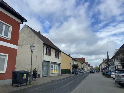
Grüner Baum
Restaurant · Greek · 1.2 km
15 Karlsruher Straße, Linkenheim-Hochstetten
Mo 17:00-23:00; We-Fr 17:00-23:00; Sa 16:00-23:00; Su,PH 12:00-21:00
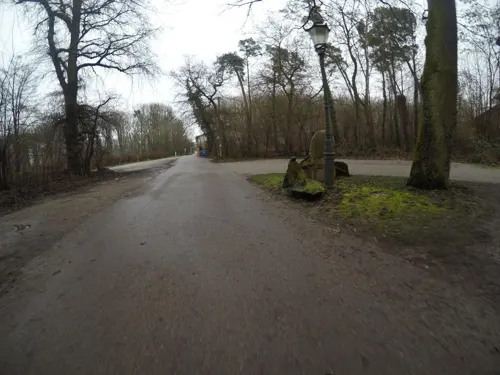

Kaori
Restaurant · Sushi, Asian, Vietnamese
3 Carré am Markt, Linkenheim-Hochstetten
Tu-Su 11:30-14:00, 17:00-22:00
Marianne's Flammkuchen
Restaurant · Regional · 2.2 km
8 Friedrichstaler Straße, Linkenheim-Hochstetten
Mo off; Tu-Sa 17:00+; Su, PH 16:00+
Pizzeria FV Hochstetten
Restaurant · Pizza, Italian · 1.9 km
46 Waldstraße, Linkenheim-Hochstetten
Tu,Th-Sa 16:00-22:30; We 16:00-23:00; Su 11:30-21:30
Pizzeria Sofia
Restaurant · Pizza · 3.8 km
17 Heidelberger Straße, Eggenstein-Leopoldshafen
Mo-Su 16:00-22:00
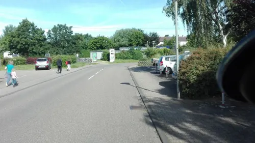
Restaurant Medita
Restaurant · Mediterranean · 4.0 km
1 Mannheimer Straße, Eggenstein-Leopoldshafen
Tu-Sa 16:30-22:30; Su,PH 11:30-14:00,16:30-21:00
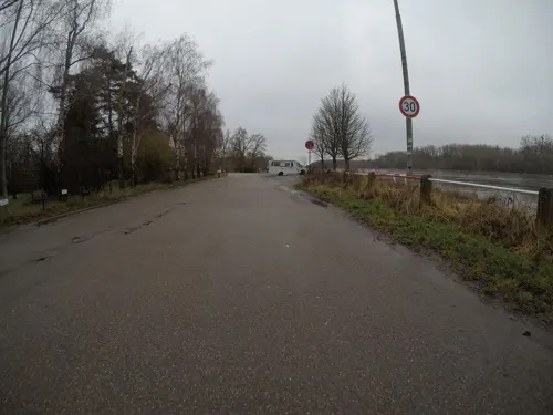
Rheinblick
Restaurant · Pizza, Regional, Pasta · 3.9 km
101 Fahrstraße zum Rhein, Eggenstein-Leopoldshafen
Tu-Su 11:30-20:00
Rheinschänke Leimersheim
Restaurant · Regional · 3.9 km
26 Rheinstraße, Leimersheim
Tu,Th,Fr 17:00-21:00; Sa,Su 12:00-21:00
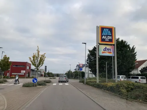
Bäckerei Hatz
Bakery
5 Am Wall, Linkenheim-Hochstetten
Mo-Fr 06:00-17:00; Sa 06:00-14:00; Su 07:00-12:00; PH closed

Café Vogelliebe
Cafe · 1.3 km
1 Am Altrhein, Linkenheim-Hochstetten
Mo off; Tu-Fr 09:00-15:00; Sa-Su, PH 09:00-18:00
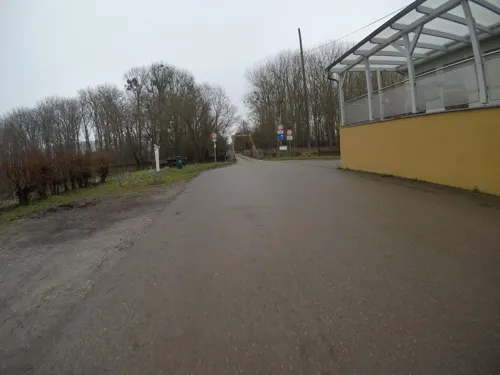


Das LETL
Restaurant · 3.1 km
1, Linkenheim-Hochstetten
We-Fr 11:30-15:00,17:30-23:00; Sa 11:30-23:00; Su 11:30-17:00
54 more on the map.
Where to stay2
Churches and places of worship13
Evangelische Kirche Leopoldshafen
Church · Protestant · 4.0 km
10 Tullastraße, Eggenstein-Leopoldshafen
Evangelische Kirche Linkenheim
Church · Protestant · 0.9 km
66 Karlsruher Straße, Linkenheim-Hochstetten
Freie evangelische Gemeinde Hochstetten
Church · Protestant
1 Albert-Schweitzer-Straße, Linkenheim-Hochstetten
Evangelische Kirche Liedolsheim
Church · Protestant · 3.5 km
60 Hauptstraße, Dettenheim
Evangelischer Gemeinschaftsverband AB, Bezirk Hardt
Church · Lutheran · 3.6 km
4 Bachstraße, Dettenheim
Shopping12
Selak Delikatessen
Grocery · 4.0 km
1 Mannheimer Straße, Eggenstein-Leopoldshafen
Gas and EV charging6
Schools, colleges and libraries15
Grundschule Christliche Schule Hardt
School · Protestant · 0.9 km
49 Karlsruher Straße, Linkenheim-Hochstetten
Realschule & Gymnasium Christliche Schule Hardt
School · Protestant
8 Albert-Schweitzer-Straße, Linkenheim-Hochstetten
Healthcare3
Curie Apotheke
Clinic and pharmacy · 4.0 km
15 Hardtstraße, Eggenstein-Leopoldshafen
Map of Linkenheim-Hochstetten
168 places. The map loads OpenStreetMap tiles when you open it.
Getting there and nearby towns
City-Airport Mannheim (MHG) is the nearest airport with scheduled flights listed in OpenStreetMap, 39 km away.
- Eggenstein-Leopoldshafen 5 km south, about 5 min by car
- Philippsburg 12 km north, about 12 min by car
- Karlsruhe 14 km south, about 14 min by car
- Bruchsal 14 km east, about 14 min by car
- Waghäusel 15 km northeast, about 15 min by car
- Ubstadt-Weiher 16 km east, about 16 min by car
- Ettlingen 21 km south, about 21 min by car
- Sankt Leon-Rot 21 km northeast, about 21 min by car
- Bretten 24 km southeast, about 24 min by car
- Hockenheim 24 km northeast, about 24 min by car
Drive times are estimates from straight-line distance, not routes.
Local news
Headlines from INDB.
Reviews, tips and questions
Loading what members have shared...
Sources and licences
- GeoNames (CC BY 4.0): population, coordinates, regions and time zone
- Mapillary (see each image): photos
- OpenStreetMap contributors (ODbL 1.0): places, airports, map data
- Wikidata (CC0 1.0): elevation, founding date, time zone, website, landmarks and historic places
- Wikimedia Commons (see each image): photos
- Wikipedia (CC BY-SA 4.0): overview and history text
Photo credits
- Linkenheim, Evangelische Kirche, Rauenstein, CC BY-SA 3.0
- Karlsruhe Uni Hauptgebaeude, AlterVista at German Wikipedia, CC BY-SA 3.0
- Myriameterstein14Rheinau, ChrisWt, CC BY 3.0
- Oberbruchwiesen 01, Joachim Lutz, CC BY-SA 4.0
- Leopoldshafen Evangelische Kirche 004, fl.schmitt, CC BY-SA 3.0
- Leopoldshafen Katholische Kirche Albertus Magnus 002, fl.schmitt, CC BY-SA 3.0
- EggLeo Heimatmuseum 1, fl.schmitt, CC0
- Hochstetten tram stop 2024-09-18 01, Entbert, CC BY-SA 4.0
- Tram at Hochstetten terminus - geo.hlipp.de - 4302, Dr Neil Clifton, CC BY-SA 2.0
- Hochstetten tram stop 2024-09-18 04, Entbert, CC BY-SA 4.0
- Hochstetten tram stop 2024-09-18 05, Entbert, CC BY-SA 4.0
- Hochstetten tram stop 2024-09-18 02, Entbert, CC BY-SA 4.0
- AVG Einsystem-Stadtbahnfahrzeug 362 in Hochstetten, 0AgentSmith, CC0
- VBK Einsystem-Stadtbahnfahrzeug 330 in Hochstetten, 0AgentSmith, CC0
- VBK Einsystem-Stadtbahnfahrzeug 342 in Hochstetten, 0AgentSmith, CC0
- VBK Einsystem-Stadtbahnfahrzeug 357 in Hochstetten, 0AgentSmith, CC0
- AVG Einsystem-Stadtbahnfahrzeug 367 in Hochstetten, 0AgentSmith, CC0
- VBK Einsystem-Stadtbahnfahrzeug 347 in Hochstetten, 0AgentSmith, CC0
- VBK Einsystem-Stadtbahnfahrzeug 329 in Hochstetten, 0AgentSmith, CC0
- VBK Einsystem-Stadtbahnfahrzeug 353 in Hochstetten, 0AgentSmith, CC0
- AVG Einsystem-Stadtbahnfahrzeug 363 in Hochstetten, 0AgentSmith, CC0
- AVG Einsystem-Stadtbahnfahrzeug 382 in Hochstetten, 0AgentSmith, CC0
- AVG Einsystem-Stadtbahnfahrzeug 395 in Hochstetten, 0AgentSmith, CC0
- VBK Einsystem-Stadtbahnfahrzeug 352 in Hochstetten, 0AgentSmith, CC0
- AVG Einsystem-Stadtbahnfahrzeug 388 in Hochstetten, 0AgentSmith, CC0
- VBK Einsystem-Stadtbahnfahrzeug 333 in Hochstetten, 0AgentSmith, CC0
- AVG Einsystem-Stadtbahnfahrzeug 365 in Hochstetten, 0AgentSmith, CC0
- AVG Einsystem-Stadtbahnfahrzeug 397 in Hochstetten, 0AgentSmith, CC0
- AVG Einsystem-Stadtbahnfahrzeug 378 in Hochstetten, 0AgentSmith, CC0
- AVG Einsystem-Stadtbahnfahrzeug 381 in Hochstetten, 0AgentSmith, CC0
- AVG Einsystem-Stadtbahnfahrzeug 390 in Hochstetten, 0AgentSmith, CC0
- AVG Einsystem-Stadtbahnfahrzeug 386 in Hochstetten, 0AgentSmith, CC0
- VBK Einsystem-Stadtbahnfahrzeug 336 in Hochstetten, 0AgentSmith, CC0
- AVG Einsystem-Stadtbahnfahrzeug 393 in Hochstetten, 0AgentSmith, CC0
- Hochstetten tram stop 2024-09-18 03, Entbert, CC BY-SA 4.0
- Gemeinschaftsschule Eggenstein Karlsruhe 15, Killarnee, CC BY-SA 4.0
- Gemeinschaftsschule Eggenstein Karlsruhe 14, Killarnee, CC BY-SA 4.0
- Altglas- und Altkleidercontainer 2, Killarnee, CC BY-SA 4.0
- Haltestelle KVV Karlsruhe 1, Killarnee, CC BY-SA 4.0
- Train stop karlsruhe 2, Killarnee, CC BY-SA 4.0
- Street-level photo, tasmaniadevil, CC BY-SA 4.0
- Street-level photo, mapper999, CC BY-SA 4.0
- Street-level photo, tasmaniadevil, CC BY-SA 4.0
- Street-level photo, mfa, CC BY-SA 4.0
- Street-level photo, mfa, CC BY-SA 4.0
- Street-level photo, ebel, CC BY-SA 4.0
- Street-level photo, dns_vlpt, CC BY-SA 4.0
- Street-level photo, tasmaniadevil, CC BY-SA 4.0
- Street-level photo, tasmaniadevil, CC BY-SA 4.0
- Street-level photo, mfa, CC BY-SA 4.0
- Street-level photo, tasmaniadevil, CC BY-SA 4.0
- Street-level photo, tasmaniadevil, CC BY-SA 4.0
- Street-level photo, tasmaniadevil, CC BY-SA 4.0
- Street-level photo, tasmaniadevil, CC BY-SA 4.0
- Street-level photo, nakaner, CC BY-SA 4.0
- Street-level photo, tasmaniadevil, CC BY-SA 4.0
- Street-level photo, dns_vlpt, CC BY-SA 4.0
- Street-level photo, nakaner, CC BY-SA 4.0
- Street-level photo, tasmaniadevil, CC BY-SA 4.0
- Street-level photo, tasmaniadevil, CC BY-SA 4.0
- Street-level photo, ramap, CC BY-SA 4.0


Page built November 8, 2026. Spotted a mistake? Tell us or suggest a place.