


Why visit Kronau
Townapedia lists 16 museums and landmarks, 16 parks and trails, 64 places to eat, 17 places to stay and 6 attractions in and around town.
Highlights include Hofladen der Landwirtschaftlichen Außenstelle Kislau, Puppenmuseum, Justizvollzugsanstalt Bruchsal - Außenstelle Kislau and Malscher Aue.
Weather in Kronau
Forecast from MET Norway (CC BY 4.0). Full forecast
About Kronau
Kronau (German pronunciation: [ˈkʁoːnaʊ]) is a municipality in the Northern Karlsruhe district in Baden-Württemberg, Germany.
From the Wikipedia article Kronau (Baden) (this version), under CC BY-SA 4.0.
Things to do6

Hofladen der Landwirtschaftlichen Außenstelle Kislau
Farm and orchard · 1.1 km

Tierpark Mingolsheim
Zoo and aquarium · 3.4 km
Mo-We 09:00-11:00, Th-Su 09:00-07:00


Museums and landmarks16
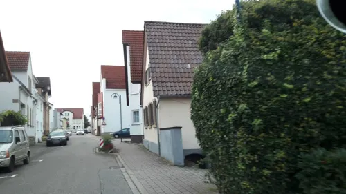
Puppenmuseum
Museum · 2.2 km
16 Monestraße, Bad Schönborn
Su, We 14:00-18:00

Justizvollzugsanstalt Bruchsal - Außenstelle Kislau
Monument and historic site · 1.2 km




4 more on the map.
Parks, trails and playgrounds16





4 more on the map.
Restaurants and cafes64
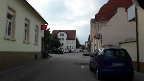
El Greco
Restaurant · Greek · 2.1 km
58 Friedrichstraße, Bad Schönborn
Tu-Sa 11:30-14:30,17:00-23:15; Su,PH 11:30-21:30

Henry´s
Restaurant · German · 2.4 km
39 Hauptstraße, Bad Schönborn
Mo-Fr 11:30-14:00, 17:30-22:30; Su 17:00-22:00
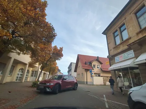
Hermes
Restaurant · Greek · 2.0 km
50 Friedrichstraße, Bad Schönborn
Tu-Fr 11:15-14:30,17:30-23:00; Sa,Su 11:15-14:30,17:00-23:00
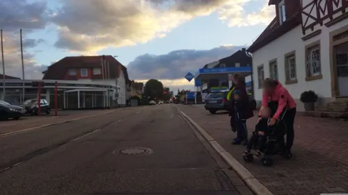
Konditorei Café Gross
Cafe · Ice Cream · 2.6 km
86 Hauptstraße, Bad Schönborn
Tu-Fr 13:00-19:00; Sa,Su,PH 11:00-19:00
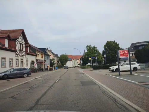
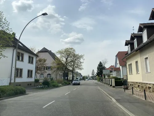
Tripizza
Restaurant · Pizza, Pasta · 1.6 km
34 Bahnhofstraße, Bad Schönborn
Tu-Fr 11:00-14:00,17:00-22:00; Sa,Su 14:30-22:00

Altuns Bäckerecke
Bakery · 1.8 km
30 Friedrichstraße, Bad Schönborn
Mo-Fr 06:30-18:00; Sa 06:30-12:30; Su off; PH off
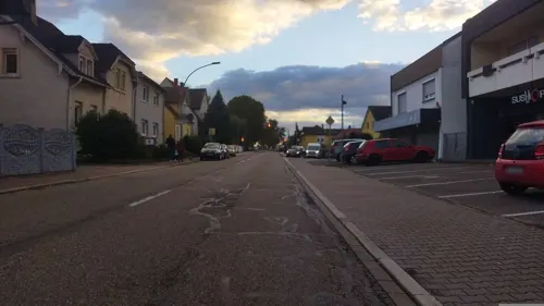
Bäcker Görtz
Bakery · 2.7 km
83 Hauptstraße, Bad Schönborn
Mo-Fr 05:30-18:30; Sa 06:00-15:00; Su 07:30-17:30
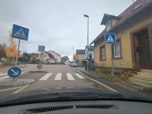


Bäcker Rutz
Bakery · 1.6 km
1 Friedrichstraße, Bad Schönborn
Mo-Fr 06:00-19:00, Sa 06:00-14:00; Su 08:00-11:00
Bäckerei & Konditorei Holzer
Bakery · 1.6 km
38 Bahnhofstraße, Bad Schönborn
Mo 05:30-12:30,14:30-18:00; Tu-Fr 06:30-12:30,14:30-18:00; We...

52 more on the map.
Where to stay17
Hotel Pension Vital Tanne
Motel and hotel · 1.8 km
43 Bruchsaler Straße, Bad Schönborn
Churches and places of worship12
St. Lambertus
Church · Roman Catholic · 2.4 km
109 Friedrichstraße, Bad Schönborn
St. Vitus
Church · Roman Catholic · 2.6 km
1 Kirchstraße, Bad Schönborn
Gralskreis Nordbaden
Place of worship · Grail Movement · 2.9 km
30 Franz-Peter-Sigel-Straße, Bad Schönborn
Neuapost. Kirche
Church · New Apostolic · 2.1 km
38 Kirchbrändelring, Bad Schönborn
Shopping11
Gas and EV charging6
Schools, colleges and libraries10
Michael-Ende-Gemeinschaftsschule
School · 2.1 km
30 Schönborn-Allee, Bad Schönborn
Healthcare9
Gotthard-Schettler-Klinik, Sigmund-Weil-Klinik
Hospital · 3.0 km
4 Prof.-Kurt-Sauer-Straße, Bad Schönborn
Map of Kronau
167 places. The map loads OpenStreetMap tiles when you open it.
Getting there and nearby towns
City-Airport Mannheim (MHG) is the nearest airport with scheduled flights listed in OpenStreetMap, 29 km away.
- Sankt Leon-Rot 5 km north, about 5 min by car
- Östringen 6 km east, about 6 min by car
- Ubstadt-Weiher 7 km south, about 7 min by car
- Rauenberg 7 km northeast, about 7 min by car
- Hambrücken 8 km southwest, about 8 min by car
- Waghäusel 9 km west, about 9 min by car
- Wiesloch 9 km northeast, about 9 min by car
- Walldorf 9 km north, about 9 min by car
- Reilingen 9 km northwest, about 9 min by car
- Bruchsal 11 km south, about 11 min by car
Drive times are estimates from straight-line distance, not routes.
Local news
Headlines from INDB.
Reviews, tips and questions
Loading what members have shared...
Sources and licences
- GeoNames (CC BY 4.0): population, coordinates, regions and time zone
- Mapillary (see each image): photos
- OpenStreetMap contributors (ODbL 1.0): places, airports, map data
- Wikidata (CC0 1.0): elevation, founding date, time zone, website
- Wikimedia Commons (see each image): photos
- Wikipedia (CC BY-SA 4.0): overview and history text
Photo credits
- Kronau Rathaus 20070602, Rudolf Stricker, CC BY-SA 3.0
- Kronau Katholische Kirche 20110117, Rudolf Stricker, Attribution
- Kronau Katholische Kirche 20070602, Rudolf Stricker, CC BY-SA 3.0
- Kronau Erich-Kästner-Schule 20110117, Rudolf Stricker, Attribution
- Kronau Erich-Kästner-Schule 20110228, Rudolf Stricker, Attribution
- Kraichbach. Polder Bad Schönborn-Kronau, Schütz am Einlass, Hozro, CC0
- Kraichbach. Polder Bad Schönborn-Kronau, Auslass Teilbecken Südwest, Hozro, CC0
- Naturdenkmal Binnendünenfeld Breiligswegäcker Kronau, Getuem, CC BY-SA 4.0
- Kraichbach. Polder Bad Schönborn-Kronau, Hochwasserentlastungsanlage, Hozro, CC0
- Kraichbach. Polder Bad Schönborn-Kronau, Auslass Teilbecken Nordost, Hozro, CC0
- Treffen1622, Freiherr von Reitzenstein, Public domain
- Mingolsheim Rochuskapelle 01, Bernhard Strominski, Public domain
- Schloss Kieslau Kronau Deutschland, Grossbildjaeger, CC BY-SA 3.0
- DSCF0893, ( Claus Ableiter ) ,, CC BY-SA 3.0
- Malscher Aue, Gabriella Schmidt, CC BY-SA 3.0
- Vituskirche katholisch Langenbrücken 2011 (retouched), 4028mdk09, CC BY-SA 3.0
- Aerial image of Schloss Kislau (view from the southeast), Carsten Steger, CC BY-SA 4.0
- Justizvollzugsanstalt - panoramio, qwesy qwesy, CC BY 3.0
- Terex-Fuchs Luftbild, Bernhard Strominski, CC BY-SA 3.0
- Hubertusstein, StromBer, CC BY-SA 4.0
- Street-level photo, tasmaniadevil, CC BY-SA 4.0
- Street-level photo, BennyTjeExplorer, CC BY-SA 4.0
- Street-level photo, agranizo, CC BY-SA 4.0
- Street-level photo, baldur80, CC BY-SA 4.0
- Street-level photo, changchun1, CC BY-SA 4.0
- Street-level photo, changchun1, CC BY-SA 4.0
- Street-level photo, karthoo, CC BY-SA 4.0
- Street-level photo, changchun1, CC BY-SA 4.0
- Street-level photo, tasmaniadevil, CC BY-SA 4.0
- Street-level photo, BennyTjeExplorer, CC BY-SA 4.0
- Street-level photo, BennyTjeExplorer, CC BY-SA 4.0
- Street-level photo, tasmaniadevil, CC BY-SA 4.0
- Street-level photo, changchun1, CC BY-SA 4.0
- Street-level photo, rausk, CC BY-SA 4.0
- Street-level photo, tasmaniadevil, CC BY-SA 4.0
- Street-level photo, agranizo, CC BY-SA 4.0
- Street-level photo, agranizo, CC BY-SA 4.0
- Street-level photo, tasmaniadevil, CC BY-SA 4.0
- Street-level photo, tasmaniadevil, CC BY-SA 4.0
- Street-level photo, BennyTjeExplorer, CC BY-SA 4.0
- Street-level photo, dns_vlpt, CC BY-SA 4.0
- Street-level photo, agranizo, CC BY-SA 4.0
- Street-level photo, littlefool, CC BY-SA 4.0


Page built November 9, 2026. Spotted a mistake? Tell us or suggest a place.