


St. Georgen im Schwarzwald, Germany
St. Georgen im Schwarzwald is a town of 13,636 people in Baden-Wurttemberg, Germany.
Why visit St. Georgen im Schwarzwald
Townapedia lists 29 museums and landmarks, 18 parks and trails, 68 places to eat, 19 places to stay and 21 attractions in and around town.
Highlights include Untermühlbachhof, Königsfeld im Schwarzwald, Deutsches Phono Museum and Kunstraum Grässlin.
Weather in St. Georgen im Schwarzwald
Forecast from MET Norway (CC BY 4.0). Full forecast
About St. Georgen im Schwarzwald
St. Georgen im Schwarzwald (German pronunciation: [ˌzaŋkt ˈɡeːɔʁɡn̩ ʔɪm ˈʃvaʁtsvalt], lit. 'St. Georgen in the Black Forest'; sometimes spelled in full as Sankt Georgen im Schwarzwald; Low Alemannic: Sanderge) is a town in Southwestern Baden-Württemberg, Germany and belongs to Schwarzwald-Baar County.
From the Wikipedia article Sankt Georgen im Schwarzwald (this version), under CC BY-SA 4.0.
Things to do21


Königsfeld im Schwarzwald
Monument and historic site · 6.5 km
Municipality in Germany

Triberg Waterfalls
Waterfall · 8.0 km
Waterfall in Black Forest, Germany

Mühllehen Mühle Ettwein
Farm and orchard · 6.5 km
15 Mühllehen, Königsfeld im Schwarzwald

Waldbühne (OpenAir Theatre)
Cinema and theater · 6.0 km
Freilicht-Theater. Bühne überdacht, Publikum nicht / Stage has roof, audience not.
9 more on the map.
Museums and landmarks29
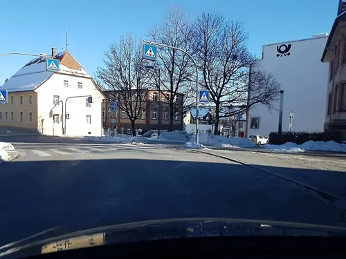
Deutsches Phono Museum
Museum
1 Bärenplatz, St. Georgen
Tu-Su,PH 11:00-17:00; Jan 1 off; Nov 1 off; Dec 25 off; easter -2 days off
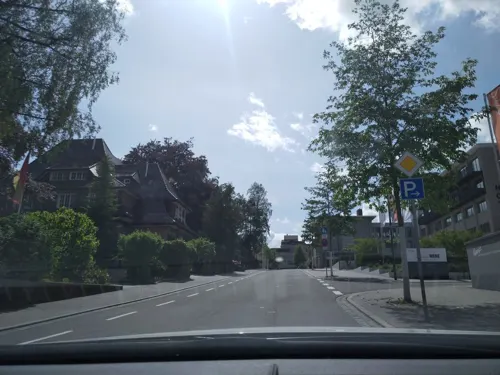

Galerie K³ | Kunst. Kultur. Königsfeld
Museum · 6.5 km
Lokale Kunstgalerie mit wechselnden Ausstellungen und Events.
1 Gartenstraße, Königsfeld im Schwarzwald
We-Fr 13:00-18:00, Sa 11:00-16:00, Su 13:00-16:00

Heimatmuseum Schwarzes Tor
Museum
37 Bahnhofstraße, St. Georgen
May-Sep Su 14:00-17:00
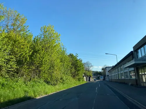

Albert Schweitzer Haus
Museum · 6.6 km
5 Schramberger Straße, Königsfeld im Schwarzwald

Kirnachmühle
Monument and historic site · 5.9 km
Original historische Mühle aus Todtmoos.
2 Mühlenplatz, Unterkirnach
17 more on the map.
Parks, trails and playgrounds18

Spielscheune
Playground · 6.0 km
Paradies für große und kleine Kinder. Mit Gästekarte gratis, sonst 4.50 (ab 3 J.)
4 Schlossbergweg, Unterkirnach
Mo,We-Fr 14:00-18:00; Sa,Su 11:00-18:00; May-Sep: Mo-Fr...

Aqualino
Sports field and stadium · 5.9 km
Hallenbad mit Gästekarte gratis. Wasser 28-30°C. Sonntag 14-18h Familientag
closed
Solara
Sports field and stadium · 6.0 km
2 Schwimmbad, Königsfeld im Schwarzwald
May 16-Sep 15 10:00-20:00

Zinzendorfpark
Park · 6.5 km
Der denkmalgeschützte Zinzendorfplatz und -park ist der zentrale städtebauliche Bezugspunkt der planmäßig angelegten Herrnhutersiedlung...



6 more on the map.
Restaurants and cafes68
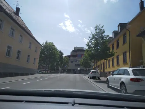
Klimperkasten
Bar and pub
LIVE WM Übertragung Sowie Catering Service: http://www.service-am-limit.de/
70 Bahnhofstraße, St. Georgen
Mo-Su 16:00-24:00

Café Art
Cafe · 6.5 km
Kuchen, Torten, Eis, Backwaren, Kaltgetränke, Snacks
2 Friedrichstraße, Königsfeld im Schwarzwald
Mo, Tu, Th-Su 10:00-22:00

Kikoo Asian Restaurant Sushi & more
Restaurant · Sushi
17 Hauptstraße, St. Georgen
Mo-Su 11:30-14:30, 17:00-22:00
Landgasthaus Waldeck
Restaurant · Regional · 3.5 km
5 Am Kreuzweg, St. Georgen im Schwarzwald
Fr 15:00-23:00; Su 11:30-21:00; Sa "Gesellschaften nach...
Mühlen-Cafe
Cafe · 5.9 km
Gemütliches Cafe-Bar-Lounge mit Sesseln, Bar, TV, Aussentische (40P+30P). Mo-Fr irgendwann wieder ab 11h?
10 Mühlenplatz, Unterkirnach
Tu-Th 14:00-21:00; Fr 14:00-22:00; Sa 14:00-21:00; Su 14:00-20:00
Restaurant Cafe Rapp
Restaurant · German · 5.0 km
22 Im Dörfle, Königsfeld im Schwarzwald
We-Su 11:30-21:30
Roßbergschänke
Restaurant · Regional
21 Roßbergstraße, St. Georgen
Mo-Tu 17:30-22:00; Th 17:30-22:00; Fr 11:30-14:00,17:30-24:00; Sa...


Seehaus
Restaurant · Italian · 0.8 km
2a Brigachstraße, St. Georgen im Schwarzwald
We-Fr 10:00-24:00; Sa 10:00-01:00; Su 10:00-22:00 open
56 more on the map.
Where to stay19
Churches and places of worship18
Kirchensaal Ev. Brüdergemeine + Ev. Kirchengemeinde
Church · Moravian · 6.6 km
3 Zinzendorfplatz, Königsfeld im Schwarzwald
Nikolauskirche
Church · Roman Catholic · 4.9 km
28 Dörfle, Königsfeld im Schwarzwald
Evangelische Kirche Langenschiltach
Church · Protestant · 4.0 km
23a Im Tal, St. Georgen
Shopping17
Gas and EV charging11
Schools, colleges and libraries13
Healthcare5
Map of St. Georgen im Schwarzwald
219 places. The map loads OpenStreetMap tiles when you open it.
Getting there and nearby towns
Lahr Airport (LHA) is the nearest airport with scheduled flights listed in OpenStreetMap, 46 km away.
- Schramberg 11 km north, about 11 min by car
- Villingen-Schwenningen 14 km southeast, about 14 min by car
- Trossingen 24 km east, about 24 min by car
- Titisee-Neustadt 25 km southwest, about 25 min by car
- Waldkirch 28 km west, about 28 min by car
- Spaichingen 30 km east, about 30 min by car
- Sulz am Neckar 34 km northeast, about 34 min by car
- Tuttlingen 39 km southeast, about 39 min by car
- Teningen 39 km west, about 39 min by car
- Singen 56 km southeast, about 56 min by car
Drive times are estimates from straight-line distance, not routes.
Local news
Headlines from INDB.
Reviews, tips and questions
Loading what members have shared...
Sources and licences
- GeoNames (CC BY 4.0): population, coordinates, regions and time zone
- Mapillary (see each image): photos
- OpenStreetMap contributors (ODbL 1.0): places, airports, map data
- Wikidata (CC0 1.0): elevation, founding date, time zone, website, landmarks and historic places
- Wikimedia Commons (see each image): photos
- Wikipedia (CC BY-SA 4.0): overview and history text
Photo credits
- StGeorgenWinter, Santalucia, CC BY-SA 4.0
- Zzpl. Kirchnsaal-1, Osingar, CC BY-SA 4.0
- Königsfeld im Schwarzwald Zinzendorfschulen Haus Spangenberg 1999 11 27, Andreas F. Borchert, CC BY-SA 4.0
- Galgen 2, HostaMadosta, CC BY-SA 3.0
- St. Georgen Lorenz Kirche, Prolineserver, CC BY-SA 3.0
- Naturschutzgebiet Gifitzenmoos, Imprimatur, CC BY-SA 4.0
- St. Jakobus Unterkirnach 20200508 144845, Vohrenbacher, CC BY-SA 4.0
- A.-Schw.-Haus-2, Osingar, CC BY-SA 4.0
- Nikolauskirche Buchenberg DJI-0373, DKrieger, CC BY-SA 4.0
- Landappbw 309641 1820 Herrnhuter Brüdergemeinde Kirchensaal Königsfeld, Harry Schneckenburger, CC0
- St. Georgen Lorenzkirche (09), Friedemann Fritsch, CC BY 4.0
- Heimatmuseum Schwarzes Tor St. Georgen (Black Forest) 9, ulfb, CC BY-SA 3.0
- Heimatmuseum Schwarzes Tor St. Georgen (Black Forest) 6, ulfb, CC BY-SA 3.0
- Heimatmuseum Schwarzes Tor St. Georgen (Black Forest) 7, ulfb, CC BY-SA 3.0
- Heimatmuseum Schwarzes Tor St. Georgen (Black Forest) 5, ulfb, CC BY-SA 3.0
- Heimatmuseum Schwarzes Tor St. Georgen (Black Forest) 2, ulfb, CC BY-SA 3.0
- Heimatmuseum Schwarzes Tor St. Georgen (Black Forest) 3, ulfb, CC BY-SA 3.0
- Heimatmuseum Schwarzes Tor St. Georgen (Black Forest) 1, ulfb, CC BY-SA 3.0
- Heimatmuseum Schwarzes Tor St. Georgen (Black Forest) 8, ulfb, CC BY-SA 3.0
- Heimatmuseum Schwarzes Tor St. Georgen (Black Forest) 4, ulfb, CC BY-SA 3.0
- Klostermauer Sankt Georgen, Rat65, CC0
- Innenraum Lorenzkirche St. Georgen von Rosette aus, Jochen Kiene, CC BY-SA 4.0
- Orgel des Lorenzkirche St. Georgen (2017), Jochen Kiene, CC BY-SA 4.0
- Angle26, Vieux RoHo, CC BY 4.0
- Nix1 triple, Vieux RoHo, CC BY 4.0
- 2nix triple, Vieux RoHo, CC BY 4.0
- St. Georgener Ortseingangsschild, Ringtonatus, CC BY-SA 4.0
- Triberger Wasserfaelle (Triberg Waterfalls) - geo.hlipp.de - 25261, Colin Smith on geo.hlipp.de, CC BY-SA 2.0
- Street-level photo, pablopita, CC BY-SA 4.0
- Street-level photo, changchun1, CC BY-SA 4.0
- Street-level photo, pablopita, CC BY-SA 4.0
- Street-level photo, changchun1, CC BY-SA 4.0
- Street-level photo, freakyuser, CC BY-SA 4.0
- Street-level photo, tasmaniadevil, CC BY-SA 4.0
- Street-level photo, tasmaniadevil, CC BY-SA 4.0
- Street-level photo, slabby, CC BY-SA 4.0
- Street-level photo, theSharon, CC BY-SA 4.0
- Street-level photo, tasmaniadevil, CC BY-SA 4.0
- Street-level photo, rausk, CC BY-SA 4.0
- Street-level photo, changchun1, CC BY-SA 4.0
- Street-level photo, pablopita, CC BY-SA 4.0
- Street-level photo, fredisz, CC BY-SA 4.0
- Street-level photo, jokie, CC BY-SA 4.0
- Street-level photo, pablopita, CC BY-SA 4.0
- Street-level photo, tasmaniadevil, CC BY-SA 4.0
- Street-level photo, slabby, CC BY-SA 4.0
- Street-level photo, tasmaniadevil, CC BY-SA 4.0
- Street-level photo, tasmaniadevil, CC BY-SA 4.0
- Street-level photo, changchun1, CC BY-SA 4.0


Page built November 8, 2026. Spotted a mistake? Tell us or suggest a place.