


Why visit Lebach
Townapedia lists 187 museums and landmarks, 25 parks and trails, 181 places to eat, 8 places to stay and 38 attractions in and around town.
Highlights include Geflügelhof Feld, City Filmstudio, Jean-Lurçat-Museum Eppelborn and Eiweiler Mühle.
Weather in Lebach
Forecast from MET Norway (CC BY 4.0). Full forecast
About Lebach
Lebach (German pronunciation: [ˈleːbax] ) is a town in the district of Saarlouis, in Saarland, Germany. It is approximately 15 km (9.3 mi) northeast of Saarlouis and 20 km (12 mi) north of Saarbrücken. As of 2023, its population was 19,095.
From the Wikipedia article Lebach (this version), under CC BY-SA 4.0.
Things to do38
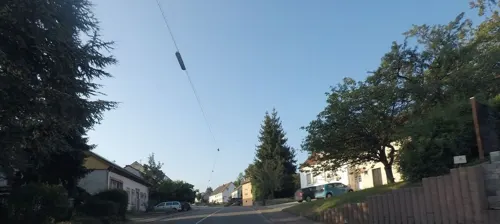
Geflügelhof Feld
Farm and orchard · 2.2 km
10 Heusweiler Straße, Lebach
Mo-Sa 08:00-12:00; Tu,Fr 13:30-18:00


26 more on the map.
Museums and landmarks187


Eiweiler Mühle
Monument and historic site · 6.4 km
Mit komplett erhaltenem Mahlwerk, gen. 1597, 1771 Zerstörung durch Hochwasser, 1776 Wiederaufbau, 1821 Umbau
2 An der Mühle, Heusweiler

Müller / Neu
Monument and historic site · Catholic · 6.8 km
Weißes Kreuz mit Metalkruzifix auf Altarsockel, Höhe ca 3 m, im Vorgarten eines alten Bauernhauses


Bachmanns-Kreuz
Monument and historic site · 5.2 km
Steinkreuz mit Metall - Kruzifix; eingebettet in einer Umgrenzungsmauer. Das sog. Bachmanns-Kreuz trägt den Hausnamen des Anwesens der...

Pestkreuz
Monument and historic site · 4.9 km
Steinkreuz mit Metalkruzifix auf Steinsockel

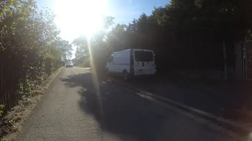
Wegekreuz Itzbach
Monument and historic site · 5.6 km
Barockes Steinkreuz mit Kruzfix auf Steinsockel wurde 1999 renoviert und mit einem Kupferdach versehen.

Wegekreuz Thewes/Rullof
Monument and historic site · 4.8 km
Das Wegekreuz wurde nach Zerstörung druch Vandalismus 2006 restauriert. In den 1970er Jahren erstmals restauriert.
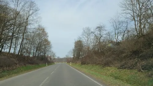
[24 versetzt]
Monument and historic site · 3.7 km
Der Stein wurde bei Bau des Nordrings in den Garten der Fam. Freichel in der Hügelstraße versetzt


175 more on the map.
Parks, trails and playgrounds25

Heidebad Schmelz
Sports field and stadium · 5.7 km
55 Zum Heidebad, Schmelz
May 13-Sep 04: 10:00-19:30; PH off; Mo off

Landschaftsschutzgebiet Im Landkreis Saarlouis - Im Bereich Der Gemeinden Saarwellingen (Und Lebach)
Hiking and trails · 6.3 km
Landschaftsschutzgebiet im Saarland mit der Kennung L 3.06.21

Quellgebiet des Köllerbaches zwischen Großwald und Kirschhofer Tal
Hiking and trails · 6.0 km
Landschaftsschutzgebiet im Saarland




13 more on the map.
Restaurants and cafes181

Botanico Finkenrech
Restaurant · Regional, German · 6.6 km
50 Tholeyer Straße
We-Sa 12:00-22:00;Su 12:00-18:00;Mo,Tu off
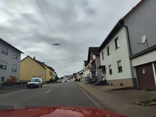
China-Restaurant Krone
Restaurant · Chinese · 4.8 km
51 Dirminger Straße, Eppelborn
Tu-Su 11:30-15:00,17:30-23:00
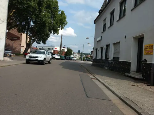
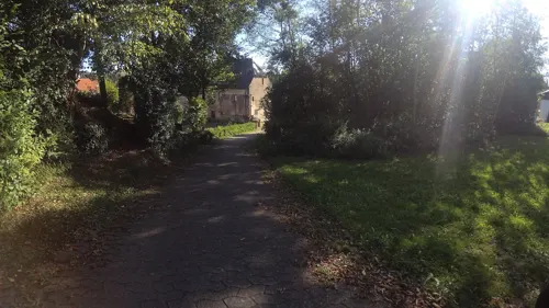
Prima Heimservice
Restaurant · Pizza, Indian · 5.5 km
123 Schaumbergstraße, Lebach
Mo-Sa 16:00-22:30, Su 11:00-14:00, Su 15:30-22:30
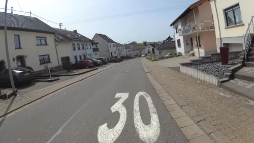
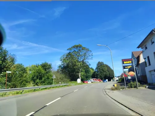
Bäckerei Bost
Bakery · 1.9 km
74a Illtalstraße, Eppelborn
Mo-Fr 05:30-18:00; Sa 05:30-12:30; Su,PH 07:00-11:00
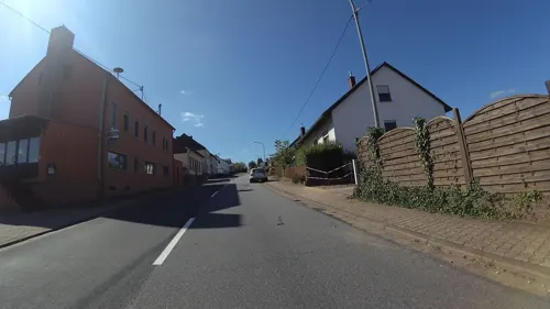
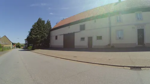
Bauernstube
Restaurant · Regional · 6.8 km
Bauernhaus, 1833, 1914 Anbau mit Wirtsstube
57 Hirteler Straße, Heusweiler
Konditorei Cafe Resch
Cafe · 4.2 km
12 Am Markt, Eppelborn
Tu-Fr 09:00-12:30,13:30-18:00; Sa 09:00-17:30; Su,PH 11:00-17:30


169 more on the map.
Where to stay8
Churches and places of worship40
Shopping31
Gas and EV charging10
Aral Tankstelle Martin Mansion
Gas station · 1.0 km
51 Saarbrücker Straße, Lebach
Schools, colleges and libraries24
Katholische Erwachsenenbildung KEB, Fortbildungsstätte Lebach
School · 0.7 km
111a Mottener Straße, Lebach
Healthcare15
Map of Lebach
250 places. The map loads OpenStreetMap tiles when you open it.
Getting there and nearby towns
Saarbrücken Airport (SCN) is the nearest airport with scheduled flights listed in OpenStreetMap, 26 km away.
- Eppelborn 4 km east, about 4 min by car
- Schmelz 5 km northwest, about 5 min by car
- Saarwellingen 10 km southwest, about 10 min by car
- Illingen 11 km southeast, about 11 min by car
- Marpingen 12 km northeast, about 12 min by car
- Tholey 12 km northeast, about 12 min by car
- Riegelsberg 12 km south, about 12 min by car
- Merchweiler 12 km southeast, about 12 min by car
- Püttlingen 14 km south, about 14 min by car
- Schwalbach 14 km southwest, about 14 min by car
Drive times are estimates from straight-line distance, not routes.
Local news
Headlines from INDB.
Reviews, tips and questions
Loading what members have shared...
Sources and licences
- GeoNames (CC BY 4.0): population, coordinates, regions and time zone
- Mapillary (see each image): photos
- OpenStreetMap contributors (ODbL 1.0): places, airports, map data
- Wikidata (CC0 1.0): elevation, founding date, time zone, website
- Wikimedia Commons (see each image): photos
- Wikipedia (CC BY-SA 4.0): overview and history text
Photo credits
- Freie Musikschule Saar Lebach, Tom-k-1973, CC BY-SA 4.0
- Wegekreuz Lebach, LoKiLeCh, CC BY 3.0
- Lebach Marktstraße 14 (2), LoKiLeCh, CC BY-SA 3.0
- Heilige Dreifaltigkeit und St. Marien (Lebach) (79873), LoKiLeCh, CC BY-SA 4.0
- Heilige Dreifaltigkeit und St. Marien (Lebach) (11740), LoKiLeCh, CC BY-SA 4.0
- LebachL1080383, Oktobersonne, CC BY-SA 4.0
- Lebach Marktstraße 12, LoKiLeCh, CC BY-SA 3.0
- 20180929 St. Marien Lebach 02, Flocci Nivis, CC BY-SA 4.0
- Heilige Dreifaltigkeit und St. Marien (Lebach) (70563), LoKiLeCh, CC BY-SA 4.0
- Heilige Dreifaltigkeit und St. Marien (Lebach) (76481), LoKiLeCh, CC BY-SA 4.0
- Heilige Dreifaltigkeit und St. Marien (Lebach) (27946), LoKiLeCh, CC BY-SA 4.0
- Heilige Dreifaltigkeit und St. Marien (Lebach) (55455), LoKiLeCh, CC BY-SA 4.0
- Heilige Dreifaltigkeit und St. Marien (Lebach) (24157), LoKiLeCh, CC BY-SA 4.0
- Heilige Dreifaltigkeit und St. Marien (Lebach) (58813), LoKiLeCh, CC BY-SA 4.0
- Lebach Pfarrgasse 7 (3), LoKiLeCh, CC BY-SA 3.0
- Lebach Pfarrgasse 17 (2), LoKiLeCh, CC BY-SA 3.0
- Lebach Schwimmbad, Lokilech, CC BY-SA 3.0
- Lebach Kath Kirche, Lokilech, CC BY-SA 3.0
- Heilige Dreifaltigkeit und St. Marien (Lebach), LoKiLeCh, CC BY-SA 4.0
- Lebach Boje Partnerstadt, Lokilech, CC BY-SA 3.0
- Lebach, Katholische Kirche Heilige Dreifaltigkeit und Sankt Marien Dm in straatzicht foto11 2017-05-28 15.40, Michielverbeek, CC BY-SA 4.0
- 20180929 St. Marien Lebach 01, Flocci Nivis, CC BY-SA 4.0
- Lebach Pfarrgasse, LoKiLeCh, CC BY-SA 3.0
- Lebach Pfarrgasse 11, LoKiLeCh, CC BY-SA 3.0
- Lebach St.Marien und Hl.Dreifaltigkeit (1), User:Cmcmcm1, CC0
- Wegekreuz in Lebach (51604), LoKiLeCh, CC BY-SA 4.0
- Wegekreuz Lebach 2, LoKiLeCh, CC BY 3.0
- Aerial view of Lebach, Germany, in February 1945 (193769281), U.S. Army Air Force photo 342-FH-3A21797-56340AC, Public domain
- Friedhof Lebach (16330), LoKiLeCh, CC BY-SA 4.0
- Friedhof Lebach (93023), LoKiLeCh, CC BY-SA 4.0
- Friedhof Lebach 7, LoKiLeCh, CC BY 3.0
- Wegekreuz in Lebach 4, LoKiLeCh, CC BY 3.0
- Friedhof Lebach (87207), LoKiLeCh, CC BY-SA 4.0
- Friedhof Lebach 6, LoKiLeCh, CC BY 3.0
- Asiatischer Garten Lebach, LoKiLeCh, CC BY-SA 4.0
- Friedhof Lebach 2, LoKiLeCh, CC BY 3.0
- Reisbach St. Marien 05, atreyu, CC BY-SA 3.0
- Steinbach St. Aloysius 02, atreyu, CC BY-SA 3.0
- Humes Maria Himmelfahrt 01, atreyu, CC BY-SA 3.0
- Gresaubach Herz Jesu 01, atreyu, CC BY-SA 3.0
- Thalexweiler St. Alban 01, atreyu, CC BY-SA 3.0
- Knorscheid Kapelle (3), LoKiLeCh, CC BY-SA 3.0
- 2020 08 Schloss Buseck, Stefan Oemisch, CC BY-SA 4.0
- 20200705 Quellgebiet des Köllerbaches zwischen Großwald und Kirschhofer Tal 03, Flocci Nivis, CC BY 4.0
- ND-086-NK-EPP - Steinrausche - Zwillingsbuche, Pascal Dihé, CC BY-SA 4.0
- 20191124Mühlenbach Schluchtentour13, Flocci Nivis, CC BY-SA 4.0
- Bauernhaus Habach - Wohnstube, Pascal Dihé, CC BY-SA 4.0
- 20200705 St. Erasmus Eiweiler 02, Flocci Nivis, CC BY-SA 4.0
- 20200705 Eiweiler Viaduct 04, Flocci Nivis, CC BY-SA 4.0
- 20200705 Eiweiler Mühle 03, Flocci Nivis, CC BY-SA 4.0
- 20200705 Kreuzweg Vogelsbornkapelle 02, Flocci Nivis, CC BY 4.0
- Lebach, Evangelische Kirche (Außenansicht) (2), Cmcmcm1, CC BY-SA 4.0
- Kirche in Primsweiler, LoKiLeCh, CC BY-SA 3.0
- Eidenborn, St. Petrus von Mailand (1), Cmcmcm1, CC BY-SA 3.0
- BettingerMphle Hof, Lokilech, CC BY-SA 3.0
- Wegkreuz Hirtel 01.1, Pelayo 08, CC BY-SA 4.0
- Wegkreuz Schellenbach 03, Pelayo 08, CC BY-SA 4.0
- Pestkreuz Buprich von 1740, Segundonome, CC BY-SA 3.0
- Wegkreuz Thewes-Rullof Thalexweiler 02, Pelayo 08, CC BY-SA 4.0
- Kirche reisbach, Loeschie, CC BY-SA 2.0 de
- Jean Lurçat par Roger Pic, Roger Pic, Public domain
- Street-level photo, teddy73, CC BY-SA 4.0
- Street-level photo, lokilech, CC BY-SA 4.0
- Street-level photo, teddy73, CC BY-SA 4.0
- Street-level photo, teddy73, CC BY-SA 4.0
- Street-level photo, elton4711, CC BY-SA 4.0
- Street-level photo, teddy73, CC BY-SA 4.0
- Street-level photo, teddy73, CC BY-SA 4.0
- Street-level photo, kalla, CC BY-SA 4.0
- Street-level photo, teddy73, CC BY-SA 4.0
- Street-level photo, teddy73, CC BY-SA 4.0
- Street-level photo, teddy73, CC BY-SA 4.0
- Street-level photo, derfred, CC BY-SA 4.0
- Street-level photo, whitechristmas, CC BY-SA 4.0
- Street-level photo, whitechristmas, CC BY-SA 4.0
- Street-level photo, teddy73, CC BY-SA 4.0
- Street-level photo, teddy73, CC BY-SA 4.0
- Street-level photo, teddy73, CC BY-SA 4.0
- Street-level photo, teddy73, CC BY-SA 4.0
- Street-level photo, teddy73, CC BY-SA 4.0
- Street-level photo, teddy73, CC BY-SA 4.0
- Street-level photo, teddy73, CC BY-SA 4.0
- Street-level photo, teddy73, CC BY-SA 4.0
- Street-level photo, teddy73, CC BY-SA 4.0
- Street-level photo, teddy73, CC BY-SA 4.0
- Street-level photo, teddy73, CC BY-SA 4.0
- Street-level photo, teddy73, CC BY-SA 4.0
- Street-level photo, lokilech, CC BY-SA 4.0
- Street-level photo, teddy73, CC BY-SA 4.0


Page built November 8, 2026. Spotted a mistake? Tell us or suggest a place.