


Why visit Merchweiler
Townapedia lists 32 museums and landmarks, 11 parks and trails, 102 places to eat, 1 place to stay and 8 attractions in and around town.
Highlights include Göttelborner Höhe, Himmelspfeil, Burg Kerpen and Ehemalige Kaffeeküch.
Weather in Merchweiler
Forecast from MET Norway (CC BY 4.0). Full forecast
About Merchweiler
Merchweiler (German pronunciation: [ˈmɛʁçvaɪlɐ]) is a municipality in the district of Neunkirchen, in Saarland, Germany. It is situated approximately 10 km (6.2 mi) west of Neunkirchen, and 15 km (9.3 mi) northeast of Saarbrücken. The municipality of Merchweiler consists of two parts: Merchweiler (village) and Wemmetsweiler (village).
From the Wikipedia article Merchweiler (this version), under CC BY-SA 4.0.
Things to do8





Museums and landmarks32


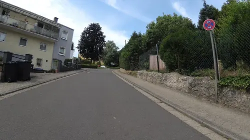
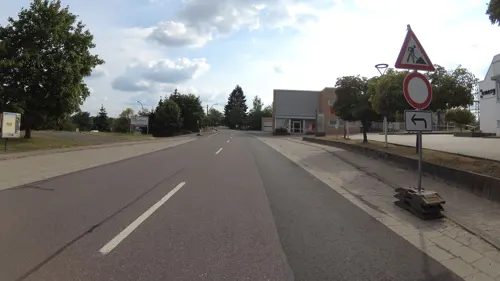

Gedenkstein an Gabriel Schramm
Monument and historic site · 1.2 km
Verunglückte 1748 an dieser sumpfigen Stelle - gedrungenes Sandsteinkreuz

Sachsenkreuz
Monument and historic site · 3.2 km
Schlichtes Kreuz auf eiem Fundament.


20 more on the map.
Parks, trails and playgrounds11


Integrativer Mehrgenerationen-Spielplatz
Playground · 3.1 km
Integrativer Mehrgenerationen-Spielplatz

Restaurants and cafes102
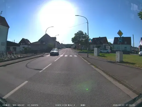
Quierschied's Döner - Pizzahaus
Restaurant · Kebab, Pizza · 2.7 km
53 Rathausstraße, Quierschied
Mo-Sa 11:00-22:00; Su 12:00-22:00
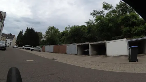
Ristorante Pizzeria Al Bacio
Restaurant · Pizza, Italian · 2.7 km
3 Rathausplatz, Quierschied
Tu-Th 17:00-22:30; Fr-Su,PH 12:00-22:30

Thai Bistro Buriram
Restaurant · Thai · 3.4 km
16 Itzenplitzstraße, Schiffweiler
11:30-14:30,17:00-22:00
Martinis
Restaurant · German · 1.3 km
Mo-We,PH 09:00-17:30; Th,Fr 09:00-23:00; Sa 17:00-23:00; Su off
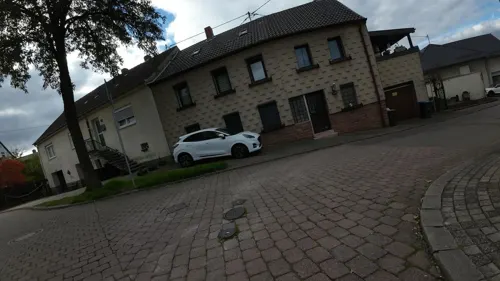
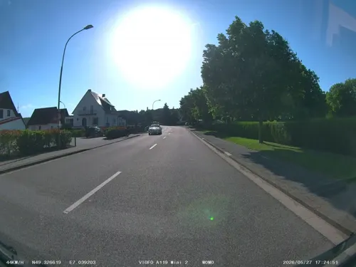
"Bernhards Currybuud" oder Alte Näherei
Restaurant · Regional · 2.7 km
126b Holzer Straße, Quierschied
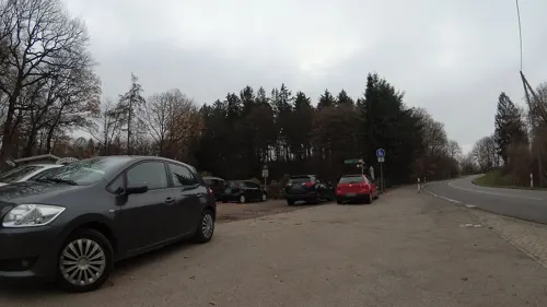
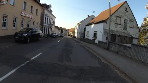


90 more on the map.
Where to stay1
Churches and places of worship14
Shopping16
Gas and EV charging5
Schools, colleges and libraries14
Grundschule Quierschied – Fischbach/Göttelborn (Standort Göttelborn)
School · 1.9 km
189 Hauptstraße, Quierschied
Healthcare11
Map of Merchweiler
214 places. The map loads OpenStreetMap tiles when you open it.
Getting there and nearby towns
Saarbrücken Airport (SCN) is the nearest airport with scheduled flights listed in OpenStreetMap, 15 km away.
- Quierschied 4 km south, about 4 min by car
- Sulzbach 6 km south, about 6 min by car
- Schiffweiler 6 km east, about 6 min by car
- Spiesen-Elversberg 7 km southeast, about 7 min by car
- Ottweiler 10 km northeast, about 10 min by car
- Riegelsberg 10 km southwest, about 10 min by car
- Marpingen 11 km north, about 11 min by car
- Saarbrücken 13 km south, about 13 min by car
- Tholey 15 km north, about 15 min by car
- Schmelz 17 km northwest, about 17 min by car
Drive times are estimates from straight-line distance, not routes.
Local news
Headlines from INDB.
Reviews, tips and questions
Loading what members have shared...
Sources and licences
- GeoNames (CC BY 4.0): population, coordinates, regions and time zone
- Mapillary (see each image): photos
- OpenStreetMap contributors (ODbL 1.0): places, airports, map data
- Wikidata (CC0 1.0): elevation, founding date, time zone, website, landmarks and historic places
- Wikimedia Commons (see each image): photos
- Wikipedia (CC BY-SA 4.0): overview and history text
Photo credits
- 20260426 Bergehalde Göttelborn 04, Flocci Nivis, CC BY 4.0
- Merchweiler von Göttelborn, LoKiLeCh, CC BY-SA 3.0
- Fördermaschinenhäuser Maybach, Zecke64, CC BY-SA 3.0
- Quierschied kath Kirche, LoKiLeCh, CC BY 3.0
- IlltalGymnasium, Lokilech, CC BY-SA 3.0
- Wemmetsweiler Kirche St.Michael 01, atreyu, CC BY-SA 4.0
- Illingen St. Stephan 03, atreyu, CC BY-SA 3.0
- Heiligenwald St. Laurentius 04, atreyu, CC BY-SA 3.0
- Maybach St. Ludwig 01, atreyu, CC BY-SA 3.0
- 20210930 Gemeindebücherei Quierschied, Flocci Nivis, CC BY 4.0
- Himmelspfeil Göttelborn 2008, Lokilech, CC BY-SA 3.0
- BurgTurmIllingen, Lokilech, CC BY-SA 3.0
- MaybachKaffeekueche, Stefan Oemisch, CC BY-SA 3.0
- Gedenkstein merchweiler 01, Pelayo 08, CC BY-SA 4.0
- Wegkreuz Heiligenwald 01, Pelayo 08, CC BY-SA 4.0
- Stollen SM 20089, Zecke64, CC BY-SA 3.0
- Lehnkreuz, Wambe78, CC BY-SA 4.0
- IllingenBergkapelleSeite, Lokilech, CC BY-SA 3.0
- Parapuzosia seppenradensis 4, -- Xocolatl 16:32, 22 April 2006 (UTC), Public domain
- Göttelborn (Quierschied), Grubensiedlung Fichtenstraße, Dguendel, CC BY 4.0
- Göttelborn (Quierschied), Grubensiedlung, Dguendel, CC BY 4.0
- Pfoertnerhaus osttor, Sim IQ, CC BY-SA 3.0
- GrubenhausGöttelborn, Lokilech at German Wikipedia, CC BY-SA 3.0
- Schacht 4 Grube Göttelborn, Ruabe, CC BY-SA 4.0
- Merchtal Erosion, LoKiLeCh, CC BY-SA 3.0
- GöttelbornBergwerksdirektion, Lokilech, CC BY-SA 3.0
- 20230722Grubensiedlung Göttelborn2, AnRo0002, CC0
- 20230722Grubensiedlung Göttelborn3, AnRo0002, CC0
- 20230722Grubensiedlung Göttelborn1, AnRo0002, CC0
- GöttelbornBergvorschule, Lokilech, CC BY-SA 3.0
- 20260426 Grubensiedlung Göttelborn, Flocci Nivis, CC BY-SA 4.0
- Merchtal (7), LoKiLeCh, CC BY-SA 3.0
- GTB-Absinkweiher, Dirk Weishaar / CAPTN HIRNI at de.wikipedia, CC BY-SA 3.0
- Goettelborn06, Sim IQ, CC BY-SA 3.0
- Goettelborn04, Sim IQ, CC BY-SA 3.0
- KaiserlindeGöttelborn, Lokilech at German Wikipedia, CC BY-SA 3.0
- 20260426 Bergehalde Göttelborn 05, Flocci Nivis, CC BY 4.0
- 20260426 Grube Göttelborn 05, Flocci Nivis, CC BY-SA 4.0
- 20260426 Grube Göttelborn 04, Flocci Nivis, CC BY-SA 4.0
- 20260426 Fördergerüst Schacht 4 03, Flocci Nivis, CC BY-SA 4.0
- Göttelborner Höhe Sender Informationen, EuropawellenNachbar, CC BY-SA 4.0
- Illingen, das Kulturforum Illipse, Dguendel, CC BY 4.0
- Street-level photo, soulcover, CC BY-SA 4.0
- Street-level photo, teddy73, CC BY-SA 4.0
- Street-level photo, teddy73, CC BY-SA 4.0
- Street-level photo, teddy73, CC BY-SA 4.0
- Street-level photo, teddy73, CC BY-SA 4.0
- Street-level photo, teddy73, CC BY-SA 4.0
- Street-level photo, teddy73, CC BY-SA 4.0
- Street-level photo, ramap, CC BY-SA 4.0
- Street-level photo, teddy73, CC BY-SA 4.0
- Street-level photo, teddy73, CC BY-SA 4.0
- Street-level photo, teddy73, CC BY-SA 4.0
- Street-level photo, teddy73, CC BY-SA 4.0
- Street-level photo, soulcover, CC BY-SA 4.0
- Street-level photo, teddy73, CC BY-SA 4.0
- Street-level photo, teddy73, CC BY-SA 4.0
- Street-level photo, teddy73, CC BY-SA 4.0
- Street-level photo, teddy73, CC BY-SA 4.0
- Street-level photo, teddy73, CC BY-SA 4.0
- Street-level photo, teddy73, CC BY-SA 4.0
- Street-level photo, teddy73, CC BY-SA 4.0
- Street-level photo, teddy73, CC BY-SA 4.0
- Street-level photo, teddy73, CC BY-SA 4.0
- Street-level photo, teddy73, CC BY-SA 4.0
- Street-level photo, teddy73, CC BY-SA 4.0
- Street-level photo, teddy73, CC BY-SA 4.0


Page built November 8, 2026. Spotted a mistake? Tell us or suggest a place.