


Leingarten, Germany
Leingarten is a town of 10,579 people in Baden-Wurttemberg, Germany.
Why visit Leingarten
Townapedia lists 33 museums and landmarks, 16 parks and trails, 83 places to eat, 6 places to stay and 15 attractions in and around town.
Highlights include Heuchelberger Warte, Bio Obsthof Gräßle, Annakreuz and Nordheimer Scheune.
Weather in Leingarten
Forecast from MET Norway (CC BY 4.0). Full forecast
About Leingarten
Leingarten (German: [ˈlaɪnɡaʁtn̩]) is a town in the district of Heilbronn, Baden-Württemberg, Germany. It is situated 7 km west of Heilbronn. It was formed 1 January 1970, when the municipalities of Großgartach and Schluchtern merged.
From the Wikipedia article Leingarten (this version), under CC BY-SA 4.0.
Things to do15

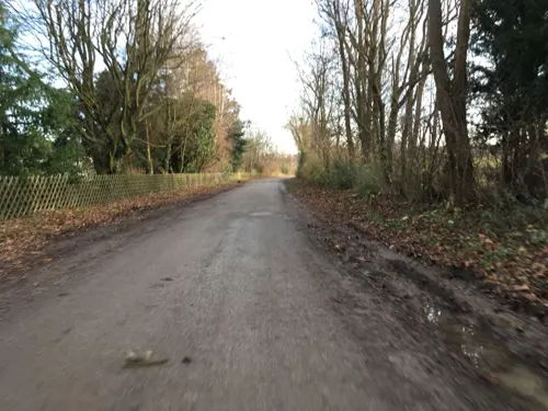
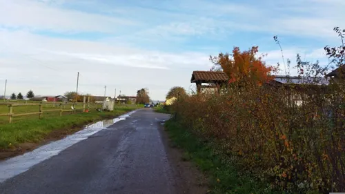
Hofladen Spanferkel- und Obsthof Wagner
Farm and orchard · 2.9 km
Th-Fr 15:00-18:00; Sa 09:00-16:00; PH off

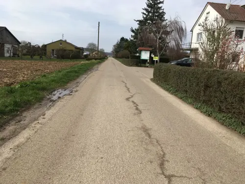

Hofladen Rampmeier
Farm and orchard · 0.9 km
1 Vorderes Hessenfeld, Leingarten
24/7

SB-Häusle Spanferkel- und Obsthof Wagner
Farm and orchard · 2.9 km
Mo-Su 08:00-20:00

3 more on the map.
Museums and landmarks33

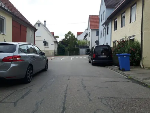

Karl-Wagenplast-Heimatmuseum
Museum · 4.3 km
1 Kelterplatz, Schwaigern
Su 15:00-17:00


Zehntscheune
Monument and historic site · 4.3 km
5 Schlossplatz, Heilbronn


Kirchbrunnen mit Kneipbecken
Monument and historic site · 1.0 km
7 Kirchbrunnengasse, Leingarten
21 more on the map.
Parks, trails and playgrounds16


Gartenanlage Bauer
Park · 4.3 km
Ist eine schöne Gartenanlage in dem Örtchen Nordheim
10 Lerchenstraße, Nordheim


4 more on the map.
Restaurants and cafes83
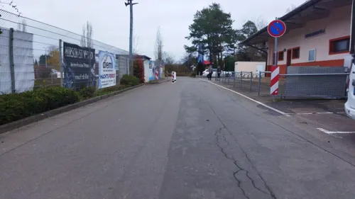
Paradies
Restaurant · Italian · 1.4 km
2 Egarten, Leingarten
Tu-Fr 11:00-14:00,17:00-00:00; Sa 12:00-00:00; Su 11:00-22:00

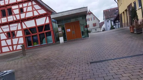
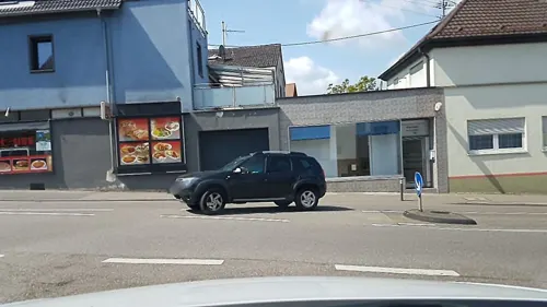
Speedy Pizza
Restaurant · Pizza · 4.3 km
2 Steinhaldestraße, Heilbronn
opening_hours=Mo-We,Fr 10:30-13:30,16:30-22:45; Th...
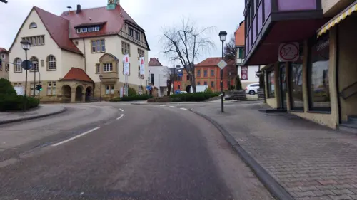
Bistro Backstüble
Bar and pub · 4.4 km
11 Marktstraße, Schwaigern
We-Th 16:00-24:00, Fr,Sa 16:00-01:00, Su 17:00-23:00

Bäckerei Keppler
Bakery · 4.4 km
2 Marktplatz, Schwaigern
Jan-Dec: Mo-Fr 06:00-18:00; Jan-Dec: Sa 06:00-13:00; Jan-Dec: Su...
Förch der Bäcker mit Café
Bakery · 4.5 km
100 Hauptstraße, Nordheim
Mo-Fr 05:30-18:00, Sa 06:00-13:00, Su 07:30-11:30


Kamizu - Kaffe Milch & Zucker
Cafe · 4.3 km
29 Schloßstraße, Schwaigern
Tu-We 09:00-18:00; Th-Fr 09:00-23:00; Sa 09:00-17:00
71 more on the map.
Where to stay6
Churches and places of worship28
Dietrich-Bonhoeffer-Kirche
Church · Protestant · 4.2 km
24 Deutschritterstraße, Heilbronn
Dreifaltigkeitskapelle
Church · Catholic · 3.9 km
51 Kapellenweg, Heilbronn
Martin-Luther-Kirche
Church · Protestant · 1.1 km
154 Eppinger Straße, Leingarten
Sankt Jakob von Nisibis
Church · Syriac Orthodox · 4.5 km
149 Schlossstraße, Heilbronn
Shopping18
Gas and EV charging14
Schools, colleges and libraries14
Healthcare8
Map of Leingarten
235 places. The map loads OpenStreetMap tiles when you open it.
Getting there and nearby towns
Manfred Rommel Airport Stuttgart (STR) is the nearest airport with scheduled flights listed in OpenStreetMap, 51 km away.
- Schwaigern 4 km west, about 4 min by car
- Heilbronn 8 km east, about 8 min by car
- Brackenheim 8 km southwest, about 8 min by car
- Lauffen am Neckar 8 km south, about 8 min by car
- Neckarsulm 9 km northeast, about 9 min by car
- Bad Rappenau 10 km north, about 10 min by car
- Bad Friedrichshall 12 km northeast, about 12 min by car
- Weinsberg 12 km east, about 12 min by car
- Eppingen 15 km west, about 15 min by car
- Besigheim 17 km south, about 17 min by car
Drive times are estimates from straight-line distance, not routes.
Local news
Headlines from INDB.
Reviews, tips and questions
Loading what members have shared...
Sources and licences
- GeoNames (CC BY 4.0): population, coordinates, regions and time zone
- Mapillary (see each image): photos
- OpenStreetMap contributors (ODbL 1.0): places, airports, map data
- Wikidata (CC0 1.0): elevation, founding date, time zone, website, landmarks and historic places
- Wikimedia Commons (see each image): photos
- Wikipedia (CC BY-SA 4.0): overview and history text
Photo credits
- Leingarten-panorama, Schmelzle, CC BY-SA 3.0
- Leingarten Mitte railway station 2025-05-10, Entbert, CC BY 4.0
- Kirche - Leingarten - geo.hlipp.de - 24797, K-H Lipp on geo.hlipp.de, CC BY-SA 2.0
- Leingarten - Großgartach - Rathaus - Ansicht in blauer Stunde, Roman Eisele, CC BY-SA 4.0
- Leingarten - Großgartach - Friedhof - Grabskulptur trauerndes Mädchen 1, Roman Eisele, CC BY-SA 4.0
- Leingarten - Großgartach - Friedhof - Grabskulptur trauerndes Mädchen 3, Roman Eisele, CC BY-SA 4.0
- Leingarten - Großgartach - Friedhof - Grabskulptur trauerndes Mädchen 2, Roman Eisele, CC BY-SA 4.0
- Leingarten - Großgartach - Friedhof - Grabskulptur trauerndes Mädchen 4, Roman Eisele, CC BY-SA 4.0
- Rathaus - Leingarten - geo.hlipp.de - 24798, K-H Lipp on geo.hlipp.de, CC BY-SA 2.0
- Leingarten - Großgartach - Japanische Blütenkirsche in Blüte mit Abendsonne (1), Roman Eisele, CC BY-SA 4.0
- Leingarten Kraichgaubahn 2024-05-12, Entbert, CC BY-SA 4.0
- Leingarten Ost railway station 2025-05-10 06, Entbert, CC BY 4.0
- Leingarten - Großgartach - Eichbott - unterer Eichbott-See - Herbstlaub auf Wasser (1), Roman Eisele, CC BY-SA 4.0
- Leingarten - Großgartach - Eichbott - unterer Eichbott-See - Weide im Januar (1), Roman Eisele, CC BY-SA 4.0
- Lein, Leingarten-Schluchtern, Mühle Geßmann, Hozro, CC0
- Leingarten - Großgartach - Eichbott - unterer Eichbott-See - Herbstlaub auf Wasser (2), Roman Eisele, CC BY-SA 4.0
- Leingarten Ost railway station 2025-05-10 05, Entbert, CC BY 4.0
- Leingarten - Großgartach - Eichbott - Arboretum - Baumstamm mit Nummer im Gegenlicht (1), Roman Eisele, CC BY-SA 4.0
- Leingarten Ost railway station 2025-05-10 04, Entbert, CC BY 4.0
- Leingarten - Großgartach - Eichbott - oberer Eichbott-See - Ansicht von Norden (1), Roman Eisele, CC BY-SA 4.0
- Leingarten Ost railway station 2025-05-10 03, Entbert, CC BY 4.0
- Leingarten - Großgartach - Eichbott - Wiese mit Herbstlaub und Bank (1), Roman Eisele, CC BY-SA 4.0
- Leingarten - Großgartach - Eichbott - oberer Eichbott-See - treibende Blätter und Spiegelung (1), Roman Eisele, CC BY-SA 4.0
- Leingarten Ost railway station 2025-05-10 02, Entbert, CC BY 4.0
- Leingarten - Großgartach - Eichbott - oberer Eichbott-See - Blick über See mit Sonnenuntergang (1), Roman Eisele, CC BY-SA 4.0
- Leingarten - Großgartach - Eichbott - Arboretum - Ansicht von WNW im Sommer - Spiegelung (1), Roman Eisele, CC BY-SA 4.0
- Leingarten - Großgartach - Eichbott - oberer Eichbott-See - Herbstlaub auf Wasser (1), Roman Eisele, CC BY-SA 4.0
- Leingarten Ost railway station 2025-05-10 01, Entbert, CC BY 4.0
- Hochschule Heilbronn mit Know Cube, Wolfgang Wehl, Public domain
- Hn-kirchhausen-zehntscheune-2015-1, Peter Schmelzle, CC BY-SA 4.0
- Kirchhausen Annakreuz 20120920 2, User:Rosenzweig, CC BY-SA 3.0
- Nordheim-bartholomaeuskirche, p.schmelzle, CC BY-SA 2.5
- Heilbronn - Kirchhausen - Dorfkern - Schloss - Ansicht von Westen (1), Roman Eisele, CC BY-SA 4.0
- Kirchhausen-ev-d-b-kirche, p.schmelzle, CC BY-SA 3.0
- Kirchhausen-dreifalt2012-1, Peter Schmelzle, CC BY-SA 3.0
- Leingarten-pankratiuskirche, peter schmelzle ( Schmelzle ), CC BY-SA 3.0
- Leingarten-martinlutherkirc, peter schmelzle ( Schmelzle ), CC BY-SA 3.0
- Schwaigern-schloss2009, Peter Schmelzle, CC BY-SA 3.0
- Hn-ehkg, p.schmelzle, CC BY-SA 3.0
- Klingenberg-ev-kirche-1736-2, p.schmelzle, CC BY-SA 2.5
- Leingarten-lorenz2009, Peter Schmelzle, CC BY-SA 3.0
- Leingarten-evmethkirche, Peter Schmelzle, CC BY-SA 3.0
- Georgskirche Massenbach Innen, Raphael Lutz, CC BY-SA 3.0
- Heuchelberger Warte-01, Muck, CC BY-SA 4.0
- Schwaigern-TierparkImLeintal060916, Joachim Köhler, CC BY-SA 3.0
- Frankenbach-johanneskirche, p.schmelzle, CC BY-SA 3.0
- Frankenbach-kirche-ev-1590, p.schmelzle, Public domain
- Frankenbacher Schotter bei Heilbronn 10, Yeerge, CC BY 4.0
- Kirchhausen-syr-jakobskirche, p.schmelzle, CC BY-SA 3.0
- Street-level photo, changchun1, CC BY-SA 4.0
- Street-level photo, changchun1, CC BY-SA 4.0
- Street-level photo, changchun1, CC BY-SA 4.0
- Street-level photo, changchun1, CC BY-SA 4.0
- Street-level photo, changchun1, CC BY-SA 4.0
- Street-level photo, changchun1, CC BY-SA 4.0
- Street-level photo, changchun1, CC BY-SA 4.0
- Street-level photo, teddy73, CC BY-SA 4.0
- Street-level photo, changchun1, CC BY-SA 4.0
- Street-level photo, changchun1, CC BY-SA 4.0
- Street-level photo, cfbolz, CC BY-SA 4.0
- Street-level photo, changchun1, CC BY-SA 4.0
- Street-level photo, changchun1, CC BY-SA 4.0
- Street-level photo, cfbolz, CC BY-SA 4.0
- Street-level photo, teddy73, CC BY-SA 4.0
- Street-level photo, changchun1, CC BY-SA 4.0
- Street-level photo, teddy73, CC BY-SA 4.0
- Street-level photo, changchun1, CC BY-SA 4.0
- Street-level photo, teddy73, CC BY-SA 4.0
- Street-level photo, changchun1, CC BY-SA 4.0
- Street-level photo, changchun1, CC BY-SA 4.0
- Street-level photo, changchun1, CC BY-SA 4.0
- Street-level photo, changchun1, CC BY-SA 4.0
- Street-level photo, changchun1, CC BY-SA 4.0
- Street-level photo, changchun1, CC BY-SA 4.0
- Street-level photo, changchun1, CC BY-SA 4.0


Page built November 8, 2026. Spotted a mistake? Tell us or suggest a place.