


Lingenfeld, Germany
Verbandsgemeinde Lingenfeld
Lingenfeld is a town of 5,433 people in Rheinland-Pfalz, Germany.
Why visit Lingenfeld
Townapedia lists 8 museums and landmarks, 3 parks and trails, 20 places to eat, 1 place to stay and 7 attractions in and around town.
Highlights include Rhine Bridge, Germersheim and Maisenberg.
Weather in Lingenfeld
Forecast from MET Norway (CC BY 4.0). Full forecast
About Lingenfeld
Lingenfeld is a Verbandsgemeinde ("collective municipality") in the district of Germersheim, Rhineland-Palatinate, Germany. The seat of the Verbandsgemeinde is in Lingenfeld.
From the Wikipedia article Lingenfeld (Verbandsgemeinde) (this version), under CC BY-SA 4.0.
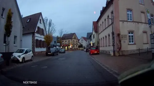
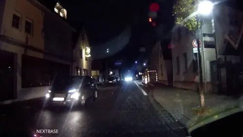
Photos of Lingenfeld


Things to do7



Hellmann
Farm and orchard · 1.9 km
7 Hauptstraße, Schwegenheim
Mo-Th 09:00-12:30,13:30-18:00; Fr 09:00-18:00; Sa 09:00-13:00

Museums and landmarks8

Südpfalz-Draisinenbahn - Endstation "Westheim 'City'"
Monument and historic site · 1.4 km

Parks, trails and playgrounds3


Restaurants and cafes20
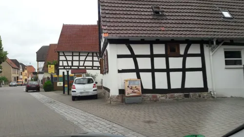
Gaststätte zum Schwanen
Restaurant · German · 1.9 km
96 Hauptstraße, Schwegenheim
Tu,We 11:00-14:00; Th-Su 11:00-14:00,17:30-22:00; Sa 17:30-22:00
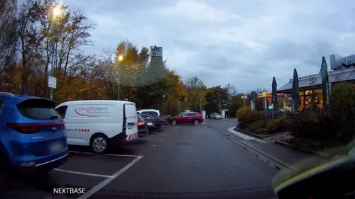
Autohof Schwegenheim
Restaurant · German · 2.5 km
24 Speyerer Straße, Schwegenheim
Mo-Su 00:00-24:00
Bäckerei Konditorei Rembor
Bakery · 0.6 km
53 Germersheimer Straße, Lingenfeld
Mo,Sa 06:00-12:30; Tu-Fr 06:00-12:30,14:30-18:00; Su 08:00-11:00
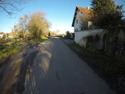
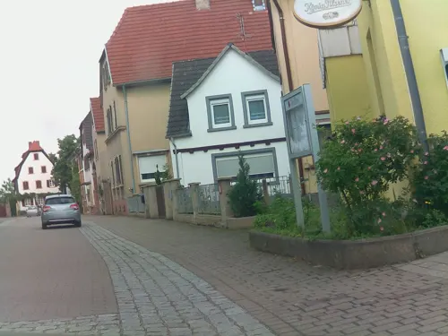
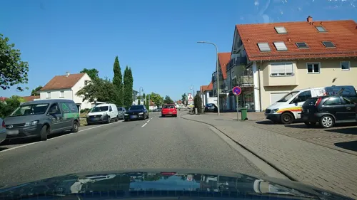
Abele
Bakery · 1.4 km
150 Germersheimer Straße, Lingenfeld
Mo off; Tu-Fr 05:30-17:00; Sa 05:30-12:00; Su 07:30-17:00
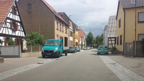
Bäckerei Hartmann
Bakery · 1.8 km
71 Hauptstraße, Schwegenheim
Tu-Fr 06:30-12:30,14:30-18:00; Sa 06:30-12:00

Restaurant Akropolis
Restaurant · Greek · 1.6 km
8 In den Heidenäckern, Lingenfeld
Mo-Sa 17:00-00:00; Su 11:30-14:30, 17:00-00:00

Bäcker Görtz
Bakery · 1.1 km
1 Robertsauer Straße, Lingenfeld
Mo-Sa 07:00-20:30; Su 08:00-11:30; PH off
Bäcker Görtz
Bakery · 1.9 km
1 Im Breiten Pfuhl, Schwegenheim
Mo-Fr 06:00-23:30; Sa 06:30-20:30; Su 07:00-11:00

Brot-Ess-Erie
Cafe · 1.4 km
150 Germersheimer Straße, Lingenfeld
Mo off; Tu-Fr 08:30-17:00; Sa 09:00-12:00; Su,PH 09:30-17:00
8 more on the map.
Where to stay1
Churches and places of worship4
Protestantische Kirche
Church · Protestant · 1.2 km
214 Kirchstraße, Westheim (Pfalz)
Shopping7
Gas and EV charging3
Schools, colleges and libraries8
Healthcare2
Apotheke Lingenfeld
Clinic and pharmacy · 1.0 km
110 Germersheimer Straße, Lingenfeld
Map of Lingenfeld
63 places. The map loads OpenStreetMap tiles when you open it.
Getting there and nearby towns
City-Airport Mannheim (MHG) is the nearest airport with scheduled flights listed in OpenStreetMap, 28 km away.
- Germersheim 5 km southeast, about 5 min by car
- Lustadt 5 km west, about 5 min by car
- Philippsburg 9 km east, about 9 min by car
- Speyer 10 km northeast, about 10 min by car
- Oberhausen-Rheinhausen 10 km east, about 10 min by car
- Rülzheim 12 km south, about 12 min by car
- Waghäusel 13 km east, about 13 min by car
- Offenbach an der Queich 12 km southwest, about 12 min by car
- Haßloch 13 km northwest, about 13 min by car
- Altlußheim 13 km northeast, about 13 min by car
Drive times are estimates from straight-line distance, not routes.
Towns near Lingenfeld


Local news
Headlines from INDB.
Reviews, tips and questions
Loading what members have shared...
Sources and licences
- GeoNames (CC BY 4.0): population, coordinates, regions and time zone
- Mapillary (see each image): photos
- OpenStreetMap contributors (ODbL 1.0): places, airports, map data
- Wikidata (CC0 1.0): elevation, founding date, time zone, website, landmarks and historic places
- Wikimedia Commons (see each image): photos
- Wikipedia (CC BY-SA 4.0): overview and history text
Photo credits
- Lingenfeld, Schwegenheimer Straße 20240511, P170, CC BY-SA 4.0
- Lingenfeld, kleiner Platz Ecke Hohesteggasse-Kautzengasse 20130402, P170, CC BY-SA 4.0
- Lingenfeld Kautzengasse 58, Rudolf Wild, CC BY-SA 4.0
- Lingenfeld, Kautzengasse 20130402, P170, CC BY-SA 4.0
- Lingenfeld, ehemaliges Sägewerksgelände nach dem Abriss 20170129, P170, CC BY-SA 4.0
- Lingenfeld, Neustadter Straße mit Bushaltestelle Altes Sägewerk 20250225, P170, CC BY-SA 4.0
- Lingenfeld, Hauptstraße mit Metzgerei Schreiner 20170129, P170, CC BY-SA 4.0
- Lingenfeld, Altspeyerer Straße 20221113, P170, CC BY-SA 4.0
- Lingenfeld, Hohesteggasse 20160406, P170, CC BY-SA 4.0
- Lingenfeld, Eisenbahnstraße (heute Altspeyerer Straße) before19130625, Unknown author Unknown author, Public domain
- Lingenfeld, ehemaliges Sägewerk 20160406 (2), P170, CC BY-SA 4.0
- Lingenfeld, ehemaliges Sägewerk 20160406, P170, CC BY-SA 4.0
- Katholische Kirche Lingenfeld 02, Immanuel Giel, CC BY-SA 3.0
- Katholische Kirche Lingenfeld 06, Immanuel Giel, CC BY-SA 3.0
- Katholische Kirche Lingenfeld 08, Immanuel Giel, CC BY-SA 3.0
- Sankt Martin Lingenfeld 02, Immanuel Giel, CC BY-SA 3.0
- Katholische Kirche Lingenfeld 05, Immanuel Giel, CC BY-SA 3.0
- Katholische Kirche Lingenfeld 03, Immanuel Giel, CC BY-SA 3.0
- Katholische Kirche Lingenfeld 04, Immanuel Giel, CC BY-SA 3.0
- Kirchturm-Lingenfeld, Immanuel Giel, CC BY-SA 3.0
- Katholische Kirche Lingenfeld 01, Immanuel Giel, CC BY-SA 3.0
- 2025-12-09 Z5-1233 Achim-Lammerts Lingenfeld-St-Martinus-Interior, Achim Lammerts (Syntaxys), CC BY-SA 4.0
- 2025-12-09 Z5-1229 Achim-Lammerts Lingenfeld-St-Martinus-Interior, Achim Lammerts (Syntaxys), CC BY-SA 4.0
- 2025-12-09 Z5-1231 Achim-Lammerts Lingenfeld-St-Martinus-Interior, Achim Lammerts (Syntaxys), CC BY-SA 4.0
- Lingenfeld, Kirche St. Martin 20120123, P170, CC BY-SA 4.0
- Lingenfeld, Hauptstraße 20170129, P170, CC BY-SA 4.0
- Lingenfeld, Gebäude Kirchstraße 16 20250225, P170, CC BY-SA 4.0
- Lingenfeld, katholisches Pfarrheim St. Martin 20250225, P170, CC BY-SA 4.0
- Lingenfeld, Café It's Time 20250225, P170, CC BY-SA 4.0
- Ortsmitte-Lingenfeld-03, Immanuel Giel, CC BY-SA 3.0
- Lingenfeld, Stettenbergstraße mit Photo & Kosmetik Weiland 20161223, P170, CC BY-SA 4.0
- Lingenfeld Rathaus 05, Immanuel Giel, CC BY-SA 3.0
- Lingenfeld, Gebäude mit Ladenlokalen an der Kirchstraße und Hauptstraße 20170128, P170, CC BY-SA 4.0
- Rheinbrücke Germersheim Eisenbahn, Eurext, CC BY-SA 3.0
- Kirche Westheim 01, Immanuel Giel, CC BY-SA 3.0
- Lingenfeld, protestantische Christuskirche 20130102, P170, CC BY-SA 4.0
- Draisinenstation-Westheim a, P170 , derivative work: Hic et nunc, CC BY 3.0
- Weihwasserkessel vor St. Martin - panoramio, Immanuel Giel, CC BY 3.0
- Auf dem Maisenberg zwischen Weingarten und Westheim 20060129, P170, CC BY-SA 4.0
- Street-level photo, mfa, CC BY-SA 4.0
- Street-level photo, teddy73, CC BY-SA 4.0
- Street-level photo, derlipper, CC BY-SA 4.0
- Street-level photo, derlipper, CC BY-SA 4.0
- Street-level photo, derlipper, CC BY-SA 4.0
- Street-level photo, mfa, CC BY-SA 4.0
- Street-level photo, mfa, CC BY-SA 4.0
- Street-level photo, derlipper, CC BY-SA 4.0
- Street-level photo, mfa, CC BY-SA 4.0
- Street-level photo, ramap, CC BY-SA 4.0
- Street-level photo, teddy73, CC BY-SA 4.0
- Street-level photo, derlipper, CC BY-SA 4.0
- Street-level photo, derlipper, CC BY-SA 4.0
- Street-level photo, mfa, CC BY-SA 4.0
- Street-level photo, wegavision, CC BY-SA 4.0
- Street-level photo, wegavision, CC BY-SA 4.0
- Street-level photo, derlipper, CC BY-SA 4.0
- Street-level photo, derlipper, CC BY-SA 4.0
- Street-level photo, derlipper, CC BY-SA 4.0
- Street-level photo, derlipper, CC BY-SA 4.0


Page built November 9, 2026. Spotted a mistake? Tell us or suggest a place.