


Why visit Lustadt
Townapedia lists 18 museums and landmarks, 6 parks and trails, 27 places to eat and 7 attractions in and around town.
Highlights include Gemüseanbau Braun, Mehlmanufaktur, Ruine Viadukt Gäubähnel and Komturei Heimbach.
Weather in Lustadt
Forecast from MET Norway (CC BY 4.0). Full forecast
About Lustadt
Lustadt is a municipality in the district of Germersheim, in Rhineland-Palatinate, Germany.
From the Wikipedia article Lustadt (this version), under CC BY-SA 4.0.
Photos of Lustadt


Things to do7
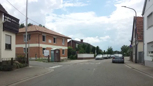
Gemüseanbau Braun
Farm and orchard · 2.6 km
82 Hauptstraße, Zeiskam
Mo,We,Su 10:00-12:00; Fr 10:00-18:00
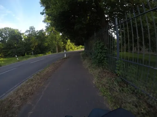
Mehlmanufaktur
Farm and orchard · 4.2 km
Holzmühle, Westheim
Mo-Fr 09:00-12:00,14:00-18:00; Sa 09:00-13:00

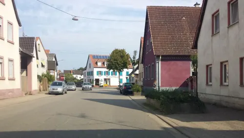


Hofladen Krebs
Farm and orchard · 1.7 km
Tu-We 09:00-12:00; Th,Fr 09:00-12:00,14:30-17:00; Sa 09:00-13:00
Museums and landmarks18



Buweabloß
Monument and historic site · 3.0 km
Buweabloss, Überlaufwehr zwischen Fuchsbach und Druslach
Renaissanceportal Schloss Friedrichsbühl
Monument and historic site · 4.1 km
Renaissanceportal - Torbogen Nachbau

6 more on the map.
Parks, trails and playgrounds6


Restaurants and cafes27
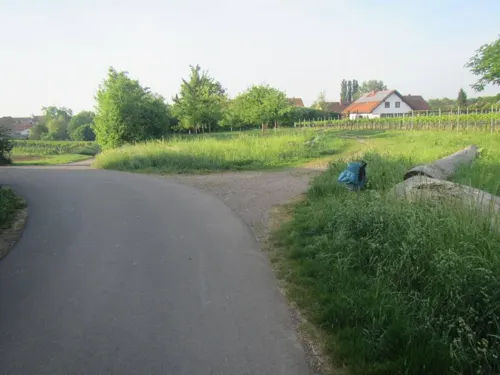
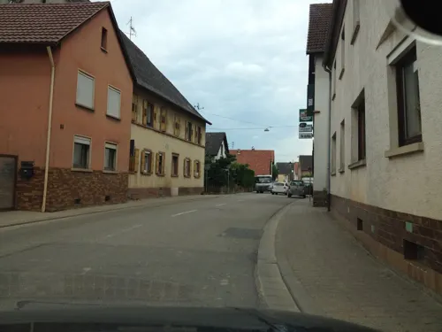
Zum Schwanen
Restaurant · Regional · 1.7 km
80 Hauptstraße, Weingarten (Pfalz)
Mo,We-Su 12:00-21:30; Tu off
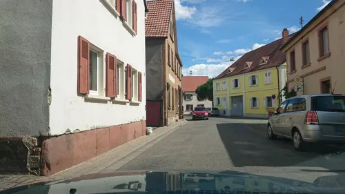
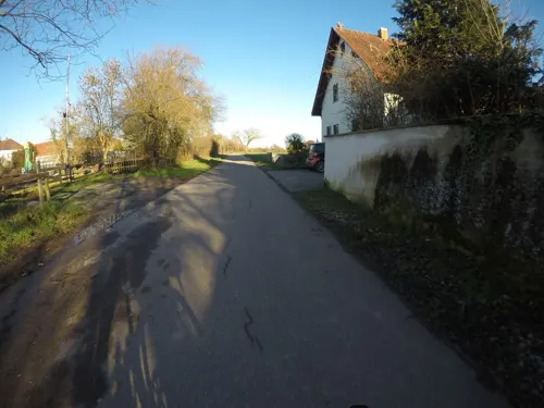

Fischrestaurant "Alte Post"
Restaurant · Fish
24 Bahnhofstraße, Lustadt
Fr,Sa 18:00+; Su 11:30-14:00,18:00+
Reiterstübchen Zeiskam
Restaurant · German · 2.9 km
nonumber Heinrich-Butz-Weg, Zeiskam
Su 11:00-14:30, 17:00-20:00; We 11:00-14:00; Th-Fr 11:00-14:00, 17:00-20:00
Stefans Restaurant
Restaurant · Italian · 3.1 km
19 Jahnstraße, Freisbach
Mo,Th-Sa 15:00-23:00; PH,Su 10:30-22:00; Tu,We off

Weingut Hünerfauth-Hecky
Brewery and winery · 4.3 km
10 Edesheimer Weg, Hochstadt (Pfalz)
Mo-Fr 09:00-12:00,13:00-18:00; Sa 09:00-12:00,13:00-17:00
Pizzeria da Leone
Restaurant · Pizza
179b Obere Hauptstraße, Lustadt
Tu-Su 11:30-14:00,17:30-22:30; Sa 17:30-22:30
15 more on the map.
Churches and places of worship14
Protestantische Kirche
Church · Protestant · 3.6 km
214 Kirchstraße, Westheim (Pfalz)
Protestantische Kirche Niederhochstadt
Church · Protestant · 4.0 km
203 Hauptstraße, Hochstadt (Pfalz)
Katholische Gemeinde St. Bartholomäus Zeiskam
Church · Roman Catholic · 2.2 km
41 Kronstraße, Zeiskam
Kirche St. Johannes Baptist
Church · Roman Catholic · 0.7 km
115 Obere Hauptstraße, Lustadt
Pfarrkirche Ss. Eucharistia
Church · Catholic · 4.3 km
1 Ackergasse, Freimersheim
DITIB Türkisch Islamische Gemeinde Lustadt e.V
Place of worship
24 Karl-Lehr-Straße, Lustadt
Shopping3
Gas and EV charging1
Schools, colleges and libraries6
Healthcare3
Map of Lustadt
85 places. The map loads OpenStreetMap tiles when you open it.
Getting there and nearby towns
City-Airport Mannheim (MHG) is the nearest airport with scheduled flights listed in OpenStreetMap, 31 km away.
- Germersheim 8 km southeast, about 8 min by car
- Offenbach an der Queich 8 km southwest, about 8 min by car
- Rülzheim 10 km south, about 10 min by car
- Landau in der Pfalz 13 km southwest, about 13 min by car
- Haßloch 13 km north, about 13 min by car
- Philippsburg 14 km east, about 14 min by car
- Speyer 14 km northeast, about 14 min by car
- Neustadt an der Weinstraße 15 km northwest, about 15 min by car
- Oberhausen-Rheinhausen 15 km east, about 15 min by car
- Böhl-Iggelheim 15 km north, about 15 min by car
Drive times are estimates from straight-line distance, not routes.
Towns near Lustadt


Local news
Headlines from INDB.
Reviews, tips and questions
Loading what members have shared...
Sources and licences
- GeoNames (CC BY 4.0): population, coordinates, regions and time zone
- Mapillary (see each image): photos
- OpenStreetMap contributors (ODbL 1.0): places, airports, map data
- Wikidata (CC0 1.0): elevation, founding date, time zone, website
- Wikimedia Commons (see each image): photos
- Wikipedia (CC BY-SA 4.0): overview and history text
Photo credits
- Lustadt-430-Obere Hauptstr 140-Rathaus-gje, Gerd Eichmann, CC BY-SA 4.0
- Lustadt, Grundschule 20250406, P170, CC BY-SA 4.0
- Lustadt, Filiale der Sparkasse Südpfalz 20250406, P170, CC BY-SA 4.0
- Lustadt, Seniorenresidenz Haus Stephan 20250406, P170, CC BY-SA 4.0
- Lustadt, Gerätehaus der Feuerwehr Lustadt 20250406, P170, CC BY-SA 4.0
- Lustadt, ...nah und gut Kissel 20170606, P170, CC BY-SA 4.0
- Lustadt, Filiale der VR Bank Südpfalz 20250406, P170, CC BY-SA 4.0
- Lustadt, Angelstraße 20180128 (1), P170, CC BY-SA 4.0
- Lustadt, Andreas-Apotheke 20250406, P170, CC BY-SA 4.0
- Lustadt, Kita Villa Murmelstein 20250406, P170, CC BY-SA 4.0
- Lustadt, Wasgau 20180102, P170, CC BY-SA 4.0
- Lustadt, Obere Hauptstraße 20170606 (1), P170, CC BY-SA 4.0
- Lustadt, Angelstraße 20180128 (2), P170, CC BY-SA 4.0
- Lustadt, Karl-Lehr-Straße 20180128 (1), P170, CC BY-SA 4.0
- Lustadt, Angelstraße 20180128 (3), P170, CC BY-SA 4.0
- Lustadt, AXA-Hauptvertretung Peter Gutzler 20250406, P170, CC BY-SA 4.0
- Lustadt, Obere Hauptstraße 20170606 (2), P170, CC BY-SA 4.0
- Lustadt, Place Rosny sur Seine - geo.hlipp.de - 24697, Paul L on geo.hlipp.de, CC BY-SA 2.0
- Lustadt, Blick zum Vereinsgelände des TC Lustadt 20180128, P170, CC BY-SA 4.0
- Lustadt, Poststraße, Vorbereitungen für die Niederlustadter Kerwe 20120808, P170, CC BY-SA 4.0
- Lustadt, Fischrestaurant Alte Post 20120429, P170, CC BY-SA 4.0
- Lustadt, Feldweg am Ortsrand 20180128, P170, CC BY-SA 4.0
- Lustadt, ehemalige Gaststätte Zur Dorfschänke 20250406, P170, CC BY-SA 4.0
- Lustadt, Untere Hauptstraße 20180102, P170, CC BY-SA 4.0
- Lustadt, Vereinsheim MGV Liederkranz 20180128, P170, CC BY-SA 4.0
- Lustadt, Blick zum ehem. Bahnhof - geo.hlipp.de - 37268, Paul L on geo.hlipp.de, CC BY-SA 2.0
- Lustadt, Karl-Lehr-Straße, Löwen-Brennerei GmbH 20180128, P170, CC BY-SA 4.0
- Lustadt, Bahnhofstraße 20170606, P170, CC BY-SA 4.0
- Lustadt, Obere Hauptstraße 20180128 (2), P170, CC BY-SA 4.0
- Blick ins Land (Lustadt 2012-04) - panoramio, Professor Phisigma, CC BY-SA 3.0
- Lustadt, Gasse zwischen Waldstraße und Obere Hauptstraße 20180128, P170, CC BY-SA 4.0
- Lustadt, Waldstraße 20180128, P170, CC BY-SA 4.0
- Lustadt, Rathaus 20170606, P170, CC BY-SA 4.0
- Lustadt, Karl-Lehr-Straße, Vereinsheim RV Edelweiß Lustadt 20180128, P170, CC BY-SA 4.0
- 141102 Komturei-Heimbach-01, BlueBreezeWiki, CC BY-SA 3.0
- Kirche Westheim 01, Immanuel Giel, CC BY-SA 3.0
- Viadukt Freisbach, Haselburg-müller, CC BY-SA 3.0
- Freimersheim prot Kirche, Rudolf Wild, CC BY-SA 4.0
- Protestatische Kirche in Hochstadt, Immanuel Giel, CC BY-SA 3.0
- Freisbach 03, Immanuel Giel, CC BY-SA 3.0
- Lustadt Wasserturm 2023, Oberlausitzerin64, CC BY-SA 4.0
- Denkmal Flurbereinigung Hochstadt 1991, Pfalz39, CC BY 4.0
- Denkmal Flurbereinigung Hochstadt 1998, Pfalz39, CC BY 4.0
- Auf dem Maisenberg zwischen Weingarten und Westheim 20060129, P170, CC BY-SA 4.0
- Zeiskamer Queichwehr, Pfalz39, CC BY-SA 4.0
- Street-level photo, teddy73, CC BY-SA 4.0
- Street-level photo, wegavision, CC BY-SA 4.0
- Street-level photo, VIA_TZ, CC BY-SA 4.0
- Street-level photo, wegavision, CC BY-SA 4.0
- Street-level photo, wegavision, CC BY-SA 4.0
- Street-level photo, mfa, CC BY-SA 4.0
- Street-level photo, mfa, CC BY-SA 4.0
- Street-level photo, mfa, CC BY-SA 4.0
- Street-level photo, wegavision, CC BY-SA 4.0
- Street-level photo, mfa, CC BY-SA 4.0
- Street-level photo, ramap, CC BY-SA 4.0
- Street-level photo, derlipper, CC BY-SA 4.0
- Street-level photo, ramap, CC BY-SA 4.0
- Street-level photo, ramap, CC BY-SA 4.0
- Street-level photo, teddy73, CC BY-SA 4.0
- Street-level photo, wegavision, CC BY-SA 4.0
- Street-level photo, teddy73, CC BY-SA 4.0
- Street-level photo, mfa, CC BY-SA 4.0
- Street-level photo, mfa, CC BY-SA 4.0
- Street-level photo, wegavision, CC BY-SA 4.0


Page built November 9, 2026. Spotted a mistake? Tell us or suggest a place.