


Why visit Lobeda
Townapedia lists 32 museums and landmarks, 28 parks and trails, 50 places to eat, 11 places to stay and 12 attractions in and around town.
Highlights include Camsdorf Bridge, Hummelsberg, Binderburg and Schloss Lobeda.
Weather in Lobeda
Forecast from MET Norway (CC BY 4.0). Full forecast
About Lobeda
Lobeda is a former independent city in Thuringia, Germany, which is now a district of Jena known as Lobeda-Old Town. It was incorporated in 1946, has just under 2000 inhabitants on an area of 3.36 square kilometers and is located just under 4.5 kilometers south of the city center.
From the Wikipedia article Lobeda (this version), under CC BY-SA 4.0.
Things to do12




Museums and landmarks32


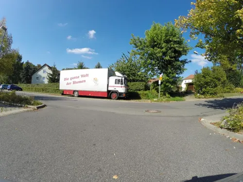
Jenaer Senfmanufaktur und Senfmuseum
Museum · 2.3 km
3 Drackendorf-Center, Jena
Tu,We,Fr 09:00-18:00; Th 10:00-18:00; Sa 10:00-13:00; Mo,Su,PH off


Planetarium Jena
Monument and historic site · 4.2 km
Planetarium in Jena, Thuringia, Germany

Dobermannsches Haus
Monument and historic site · 0.6 km
3 Nikolaus-Theiner-Straße, Jena


Klara Griefahn
Monument and historic site
Stolperstein für Dr.Klara Griefahn, geb.Hoffmann


20 more on the map.
Parks, trails and playgrounds28


Leutratal und Cospoth
Park · 4.6 km
Nature reserve in Thuringia, Germany


Stadtteilgarten Winzerla
Park · 1.4 km
Http://www.winzerla.com/wordpress/beteiligung/stadtteilgarten-2/das-projekt/


16 more on the map.
Restaurants and cafes50

Diener's
Restaurant · Regional · 1.1 km
2 Alfred-Diener-Straße, Jena
Tu-Fr 11:30-13:30, Th,Fr 17:00-20:00, Su 11:00-14:00; Mo off
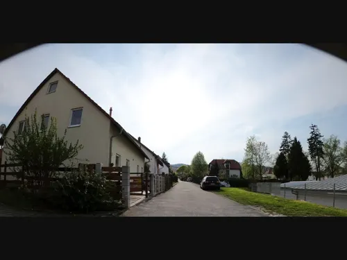
El Greco
Restaurant · Greek · 1.3 km
76 Rudolstädter Straße, Jena
Mo off; Tu-Fr 11:30-14:30,17:00-23:00; Sa-Su 11:30-23:00; PH 11:30-23:00
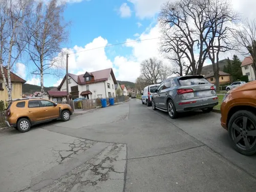
Landgaststätte "Am Goethepark"
Restaurant · German · 2.2 km
2 Am Goethepark, Jena
Tu-Sa 11:00-13:30,16:30-22:00; Su 11:00-13:30
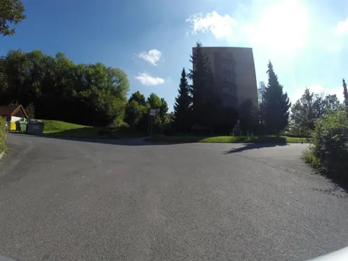
Marathon
Restaurant · Greek · 2.2 km
1 Drackendorf-Center, Jena
Mo,We-Sa 17:30-22:00; Su 11:30-14:00,17:30-21:30; Tu off
Wirtamberg
Restaurant · Regional · 2.3 km
20a Alte Dorfstraße, Jena
Mo,We,Th,Fr 17:00-21:00; Sa 11:30-22:00; Su,PH 11:30-17:00; Tu off
Am Wehr
Bar and pub · Regional
11 Göschwitzer Straße
May-Sep Tu 11:00-20:00; May-Sep We-Fr 11:00-21:00; May-Sep Sa...
Bäckerei & Konditorei Czech
Bakery · 1.3 km
1a Oßmaritzer Straße, Jena
Mo-Fr 07:00-18:00; Sa 07:00-12:00; Su,PH off
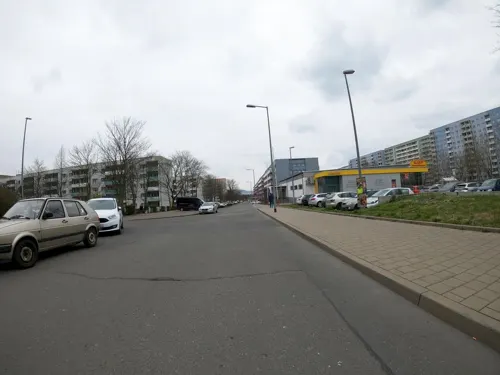


Bäckerei & Konditorei Czech
Bakery · 1.5 km
36 Fritz-Ritter-Straße, Jena
Mo-Fr 07:00-19:00; Sa 07:00-18:00; Su,PH off


Wöllnitzer-Stubn
Restaurant · Regional · 0.9 km
5 Pennickental, Jena
Mo-Fr 17:00-22:00; Sa,Su 12:00-22:00
38 more on the map.
Where to stay11
Churches and places of worship10
Dorfkirche Göschwitz
Church · Protestant · 2.0 km
Alte Hauptstraße, Jena
Dreifaltigkeitskirche
Church · Lutheran · 0.6 km
69 Geraer Straße, Jena
Shopping24
Gas and EV charging9
Schools, colleges and libraries21
Healthcare13
Map of Lobeda
210 places. The map loads OpenStreetMap tiles when you open it.
Getting there and nearby towns
Erfurt-Weimar Airport (ERF) is the nearest airport with scheduled flights listed in OpenStreetMap, 46 km away.
- Jena 4 km north, about 4 min by car
- Weimar 21 km northwest, about 21 min by car
- Pößneck 22 km south, about 22 min by car
- Rudolstadt 27 km southwest, about 27 min by car
- Naumburg 32 km northeast, about 32 min by car
- Saalfeld 32 km southwest, about 32 min by car
- Gera 34 km east, about 34 min by car
- Erfurt 41 km west, about 41 min by car
- Zeitz 41 km northeast, about 41 min by car
- Weißenfels 43 km northeast, about 43 min by car
Drive times are estimates from straight-line distance, not routes.
Local news
Headlines from INDB.
Reviews, tips and questions
Loading what members have shared...
Sources and licences
- GeoNames (CC BY 4.0): population, coordinates, regions and time zone
- Mapillary (see each image): photos
- OpenStreetMap contributors (ODbL 1.0): places, airports, map data
- Wikidata (CC0 1.0): elevation, founding date, time zone, website, landmarks and historic places
- Wikimedia Commons (see each image): photos
- Wikipedia (CC BY-SA 4.0): overview and history text
Photo credits
- Lobeda Panorama, Oglobeda ( talk ), Public domain
- 2020-04-15 19-14-47 Peterskirche Lobeda, Felix55kerstan, CC BY-SA 4.0
- Jena Haltestelle Lobeda, Reise Reise, CC BY-SA 4.0
- Tw115 09Juli2003 Lobeda, TomWed, CC BY-SA 4.0
- Church Lobeda, Jena 05, Aschroet, CC0
- Church Lobeda, Jena 03, Aschroet, CC0
- Church Lobeda, Jena 04, Aschroet, CC0
- Church Lobeda, Jena 09, Aschroet, CC0
- Church Lobeda, Jena 08, Aschroet, CC0
- Church Lobeda, Jena 07, Aschroet, CC0
- Church Lobeda, Jena 10, Aschroet, CC0
- Church Lobeda, Jena 06, Aschroet, CC0
- Ján Kollár memorial Lobeda 3, Aschroet, CC0
- Ján Kollár memorial Lobeda 2, Aschroet, CC0
- Ján Kollár memorial Lobeda 4, Aschroet, CC0
- Ján Kollár memorial Lobeda 1, Aschroet, CC0
- Church Lobeda, Jena 11, Aschroet, CC0
- Church Lobeda, Jena 13, Aschroet, CC0
- Church Lobeda, Jena 12, Aschroet, CC0
- Church Lobeda, Jena 02, Aschroet, CC0
- Church Lobeda, Jena 01, Aschroet, CC0
- Camsdorfer Bruecke, Lars0001, Public domain
- Optisches Museum Jena, The original uploader was Klingon at German Wikipedia ., CC BY-SA 3.0
- Planetarium Jena (40040), Daniel Mietchen, CC0
- Leutratal-Gesamtansicht-Nordhang, Mars 2002, CC BY-SA 3.0
- Universitäts Hauptgebäude. Jena, Vitold Muratov, CC BY-SA 3.0
- Ernst-Abbe-Gymnasium-Jena, Lars0001, CC BY-SA 4.0
- MönchsbergJ1, Hamster3, CC BY-SA 3.0
- Jena-Lobeda Johannisberg von Burgau aus, Roman Grabolle ( Krtek76 ), CC BY-SA 3.0
- Kirche Göschwitz, Michael Sander, CC BY-SA 3.0
- Dorfkirche Winzerla 2013, indeedous, Attribution
- Dreifaltigkeitskirche Jena-Burgau 2014, indeedous, Attribution
- Auferstehungskirche Drackendorf, Aschroet, CC0
- Kirche Wöllnitz, indeedous, Attribution
- Kirche Lobeda, Michael Sander, CC BY-SA 3.0
- 2019-09-08 Johann-Christoph-Friedrich-GutsMuths-Gymnasium 2, Bernard Ladenthin, CC BY 4.0
- Drackendorfer Park 2014, indeedous, Attribution
- Jena Gemeinschaftsschule Galileo, Reise Reise, CC BY-SA 4.0
- Jena Lobdeburgschule, Reise Reise, CC BY-SA 4.0
- Ernst-Haeckel-Bank Jena 4, Daniel Mietchen, CC0
- Burgau Burggraben, indeedous, Attribution
- Schloss Lobeda, Michael Sander, CC BY-SA 3.0
- Zum Bären, Oglobeda ( talk ), Public domain
- Drackendorf Trafohäuschen 2014, indeedous, Attribution
- Dobermannsches Wohnhaus, Oglobeda ( talk ), Public domain
- Klara Griefahn Stolperstein Jena, Claus Nötzold, Public domain
- Salvador-Allende-Stelen, Babett Forster, CC0
- Burgaupark Eingang Westseite 2022-11-07, Adrian Grummt, CC BY-SA 4.0
- UV-geschädigtes Polypropylen-Aluminium Fusiotherm Verbundrohr, Südbad Jena, Schleichersee 01, Kai Kemmann, CC BY-SA 4.0
- Street-level photo, 741852963, CC BY-SA 4.0
- Street-level photo, 741852963, CC BY-SA 4.0
- Street-level photo, 741852963, CC BY-SA 4.0
- Street-level photo, ahzf, CC BY-SA 4.0
- Street-level photo, 741852963, CC BY-SA 4.0
- Street-level photo, ahzf, CC BY-SA 4.0
- Street-level photo, ahzf, CC BY-SA 4.0
- Street-level photo, 741852963, CC BY-SA 4.0
- Street-level photo, 741852963, CC BY-SA 4.0
- Street-level photo, 741852963, CC BY-SA 4.0
- Street-level photo, 741852963, CC BY-SA 4.0
- Street-level photo, 741852963, CC BY-SA 4.0
- Street-level photo, 741852963, CC BY-SA 4.0
- Street-level photo, 741852963, CC BY-SA 4.0
- Street-level photo, 741852963, CC BY-SA 4.0
- Street-level photo, ahzf, CC BY-SA 4.0
- Street-level photo, changchun1, CC BY-SA 4.0
- Street-level photo, ahzf, CC BY-SA 4.0
- Street-level photo, 741852963, CC BY-SA 4.0
- Street-level photo, 741852963, CC BY-SA 4.0
- Street-level photo, 741852963, CC BY-SA 4.0


Page built November 8, 2026. Spotted a mistake? Tell us or suggest a place.