


Saalfeld, Germany
Saalfeld/Saale
Saalfeld is a town of 28,023 people in Thuringia, Germany, founded in 700.
Why visit Saalfeld
Townapedia lists 44 museums and landmarks, 21 parks and trails, 99 places to eat, 17 places to stay and 50 attractions in and around town.
Highlights include Bioladen Lindenbachhof, Rabenhügel, Stadtmuseum Saalfeld im Franziskanerkloster and Schaudenkmal Gasmaschinenzentrale.
Weather in Saalfeld
Forecast from MET Norway (CC BY 4.0). Full forecast
About Saalfeld
Saalfeld (German pronunciation: [ˈzaːlˌfɛlt] ; officially Saalfeld/Saale) is a town in Germany, capital of the Saalfeld-Rudolstadt district of Thuringia. It is best known internationally as the ancestral seat of the Saxe-Coburg and Gotha branch of the Saxon House of Wettin.
From the Wikipedia article Saalfeld (this version), under CC BY-SA 4.0.
Travel tips from other travellers: Saalfeld on Wikivoyage (CC BY-SA 4.0).
Things to do50

Bioladen Lindenbachhof
Farm and orchard · 4.9 km
Gartencafe, Bauernhof, Imkerei und Ferienwohnung
12, Kaulsdorf


38 more on the map.
Museums and landmarks44

Stadtmuseum Saalfeld im Franziskanerkloster
Museum · 0.6 km
5 Münzplatz, Saalfeld/Saale
Tu-Su 10:00-17:00



Saaltor
Monument and historic site
60 Saalstraße, Saalfeld/Saale
May-Sep: 09:00-18:00; Oct-Apr: 10:00-16:00


Hutschachtel
Monument and historic site
2 Köditzgasse, Saalfeld/Saale

32 more on the map.
Parks, trails and playgrounds21

Freibad Unterwellenborn
Sports field and stadium · 4.6 km
5 Am Freibad, Unterwellenborn
May-Jun: Mo-Su 10:00-19:00; Jul-Aug: Mo-Su 10:00-22:00; Sep: Mo-Su...



9 more on the map.
Restaurants and cafes99
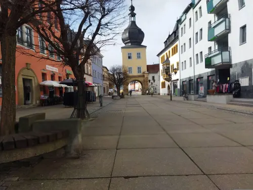
Kohinoor
Restaurant · Indian
Indisches Restaurant
8 Blankenburger Straße
Mo-Su, PH 11:00-14:00, 17:00-22:00
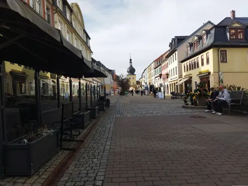
Alte Post
Restaurant · Regional
9 Blankenburger Straße, Saalfeld/Saale
Mo-We 11:00-15:00, 17:00-22:00; Fr-Sa 11:00-15:00, 17:00-22:00; Su...
Back-Shop & Cafe-Pavillon Walther
Bakery · Ice Cream · 1.4 km
68a Rainweg, Saalfeld/Saale
Mo-Fr 06:00-17:00; Sa 07:00-17:00; Su 13:00-17:00

Daddy's Diner
Diner · American · 1.8 km
8b Mittlerer Watzenbach, Saalfeld/Saale
Tu-Sa 17:00-21:00; Mo,Su,PH off

Eschenstübel
Restaurant · Regional · 1.1 km
38 Alte Gehegstraße, Saalfeld/Saale
We-Fr 15:00-23:00,Sa 14:00-23:00, Su 11:00-20:00
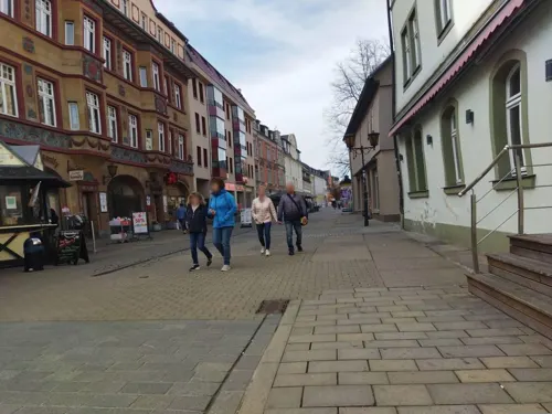
Kaffeehaus-Bäckerei-Konditorei Wenzel
Cafe
Hunde in Innenräumen erlaubt
10 Markt, Saalfeld/Saale
Mo-Sa 06:00-18:00; Su 07:00-18:00

Kolumbianische Kaffeerösterei
Cafe · Coffee Shop · 5.7 km
1b Könitzer Straße, Kaulsdorf
Th-Fr 13:00-16:00; Sa,Su 13:00-16:30


Back-Shop & Cafe City Walther
Bakery
5 Markt, Saalfeld/Saale
Mo-Fr 06:30-18:00; Sa 07:00-14:00; Su,PH off
Bohlenblick
Restaurant · 2.4 km
7 Geschwister-Scholl-Straße, Saalfeld/Saale
Mo-Sa 12:00-21:30; Su 11:30-19:30
87 more on the map.
History
Saalfeld is one of the historic towns of Thuringia, possibly founded by the 7th century around a Thuringii (Gothic) fortress today called Hoher Schwarm or Sorbenburg (Sorbs' Castle). The area was first mentioned in an 899 deed. Kitzerstein Castle standing on an eminence above the Saale River, was said to have been originally erected by the German King Henry the Fowler, although the present-day building was not built before the 16th century. In 1012 the last Ottonian emperor Henry II ceded the former Carolingian Kaiserpfalz to Count Palatine Ezzo of Lotharingia, whose daughter Richeza bequested it to the Archbishops of Cologne.
According to the local chronicler Lambert of Hersfeld, Archbishop Anno II of Cologne in 1071 established a Benedictine abbey here, which quickly became an ecclesiastical centre in eastern Thuringia but was destroyed during the German Peasants' War in 1526. A Franciscan monastery was established about 1250, which also was dissolved during the Protestant Reformation. The Hohenstaufen emperor Frederick Barbarossa had ordered the layout of an Imperial city, parts of its medieval walls and bastions are preserved up to today. Nevertheless, the citizens in 1208 had to receive town privileges from the hands of the Counts of Schwarzburg as their feudal lords.
From the History section of Saalfeld on Wikipedia, under CC BY-SA 4.0.
Where to stay17
Churches and places of worship28
Dorfkirche Aue am Berg
Church · Protestant · 4.2 km
Ortsstraße, Saalfeld/Saale
Dorfkirche Arnsgereuth
Church · Protestant · 5.6 km
13 Saalfelder Straße, Saalfeld/Saale
Gertrudiskirche
Church · Protestant · 0.9 km
1 An der Gertrudiskirche, Saalfeld/Saale
Shopping27
Gas and EV charging5
Schools, colleges and libraries31
Wissenschaftliche Bibliothek des Thüringischen Institut für Textil- und Kunststoff-Forschung e.V.
Library · 6.0 km
97 Breitscheidstraße, Rudolstadt
Medizinische Fachbibliothek der Thüringen-Kliniken "Georgius Agricola" GmbH
Library · 1.5 km
68 Rainweg, Saalfeld/Saale
Staatliche Regelschule ,,Geschwister Scholl" Interimsunterbringung
School · 5.2 km
10-12 Maxhüttenstraße, Unterwellenborn
Staatliches Gymnasium "Heinrich Böll" Saalfeld, Haus B
School · 0.8 km
15,17 Sonneberger Straße, Saalfeld/Saale
Healthcare22
Gemeinschaftspraxis Unterwellenborn
Clinic and pharmacy · 4.9 km
19 Ernst-Thälmann-Straße, Unterwellenborn
Map of Saalfeld
250 places. The map loads OpenStreetMap tiles when you open it.
Getting there and nearby towns
Erfurt-Weimar Airport (ERF) is the nearest airport with scheduled flights listed in OpenStreetMap, 47 km away.
- Jena 35 km northeast, about 35 min by car
- Sonneberg 35 km southwest, about 35 min by car
- Weimar 37 km north, about 37 min by car
- Neustadt bei Coburg 39 km southwest, about 39 min by car
- Erfurt 43 km northwest, about 43 min by car
- Kronach 45 km south, about 45 min by car
- Rödental 45 km southwest, about 45 min by car
- Suhl 48 km west, about 48 min by car
- Coburg 52 km southwest, about 52 min by car
- Hof 54 km southeast, about 54 min by car
Drive times are estimates from straight-line distance, not routes.
Local news
Headlines from INDB.
Reviews, tips and questions
Loading what members have shared...
Sources and licences
- GeoNames (CC BY 4.0): population, coordinates, regions and time zone
- Mapillary (see each image): photos
- OpenStreetMap contributors (ODbL 1.0): places, airports, map data
- Wikidata (CC0 1.0): elevation, founding date, time zone, website
- Wikimedia Commons (see each image): photos
- Wikipedia (CC BY-SA 4.0): overview and history text
Photo credits
- Stadtkirche Saalfeld, Michael Sander, CC BY-SA 3.0
- Erasmus - Reinhold - Gymnasium, Rico Nowatschin, CC BY-SA 3.0
- 140823 Märchendom Saalfelder Feengrotten, Ansgar Koreng, CC BY 3.0 de
- Wetzelstein-1-von NW, Kerstin Zapf, CC BY-SA 3.0 de
- Johanneskirche Saalfeld, Michael Sander, CC BY-SA 3.0
- -007 Landschaftsschutzgebiete in Thüringen Kulm, NoRud, CC BY-SA 3.0
- Amtsgefängnis Saalfeld 2013 außen (1), Amtsgefängnis_Saalfeld_2013_außen.jpg : indeedous derivative work: Hic et nunc, CC BY-SA 3.0
- Church Aue am Berg 1, Aschroet, CC0
- Graba - An der Gertrudiskirche, Gkphoto, CC BY-SA 3.0
- Gorndorf Ratsgasse Kirche mit Ausstattung, NoRud, CC BY-SA 4.0
- Saalfeld Pfortenstraße 12 Katholische Kirche 1, NoRud, CC BY-SA 4.0
- Saalfeld Münzplatz 5 Ehem. Franziskanerkloster,Bestandteil Denkmalensemble "Stadtkern Saalfeld-Saale", NoRud, CC BY-SA 4.0
- Saaltor Saalfeld, Michael Sander, CC BY-SA 3.0
- Landschaftsschutzgebiet Gleitsch FFH-Gebiet Saaletal zwischen Hohenwarte und Saalfeld Gleitsch V, NoRud, CC BY-SA 4.0
- Kirche Breternitz 3, Giorno2, CC BY-SA 4.0
- Bergkirche in Knobelsdorf (Saalfelder Höhe), Gkphoto, CC BY-SA 3.0
- Obernitz An der Kirche 1 Kirche mit Ausstattung, NoRud, CC BY-SA 4.0
- Church Reschwitz 1, Aschroet, CC0
- Arnsgereuth Ortsstraße Kirche mit Ausstattung II, NoRud, CC BY-SA 4.0
- -056Unterwellenborn August-Bebel-Straße 17, NoRud, CC BY-SA 4.0
- Unterwellenborn Ortsteil Röblitz Kirche, NoRud, CC BY-SA 4.0
- Eyba 23 Schloss, NoRud, CC BY-SA 4.0
- Saalfeld Bahnhof Wasserturm, Oberlausitzerin64, CC BY-SA 4.0
- Denkmal louis ferdinand2, Polemon, Public domain
- Johanneskirche Saalfeld. 2H1A5024WI, Kora27, CC BY-SA 4.0
- Aue am Berg Dorfkirche, 1996, BrThomas at German Wikipedia, CC BY-SA 3.0
- Street-level photo, changchun1, CC BY-SA 4.0
- Street-level photo, changchun1, CC BY-SA 4.0
- Street-level photo, changchun1, CC BY-SA 4.0
- Street-level photo, ottor, CC BY-SA 4.0
- Street-level photo, wegavision, CC BY-SA 4.0
- Street-level photo, atze02, CC BY-SA 4.0
- Street-level photo, changchun1, CC BY-SA 4.0
- Street-level photo, changchun1, CC BY-SA 4.0
- Street-level photo, wegavision, CC BY-SA 4.0
- Street-level photo, bbo, CC BY-SA 4.0
- Street-level photo, ramap, CC BY-SA 4.0
- Street-level photo, ramap, CC BY-SA 4.0
- Street-level photo, ramap, CC BY-SA 4.0
- Street-level photo, changchun1, CC BY-SA 4.0
- Street-level photo, ottor, CC BY-SA 4.0
- Street-level photo, wegavision, CC BY-SA 4.0
- Street-level photo, atze02, CC BY-SA 4.0
- Street-level photo, bigbug21, CC BY-SA 4.0
- Street-level photo, ottor, CC BY-SA 4.0
- Street-level photo, ramap, CC BY-SA 4.0
- Street-level photo, ramap, CC BY-SA 4.0
- Street-level photo, ramap, CC BY-SA 4.0
- Street-level photo, bbo, CC BY-SA 4.0


Page built November 8, 2026. Spotted a mistake? Tell us or suggest a place.