


Why visit Lohr am Main
Townapedia lists 134 museums and landmarks, 34 parks and trails, 68 places to eat, 12 places to stay and 42 attractions in and around town.
Highlights include Main Viaduct, Nantenbach, Buchberg, Spessartmuseum and Bayersturm.
Weather in Lohr am Main
Forecast from MET Norway (CC BY 4.0). Full forecast
About Lohr am Main
Lohr am Main (German pronunciation: [ˈloːɐ̯ ʔam ˈmaɪn], lit. 'Lohr on the Main'; officially: Lohr a.Main) or Loa (Bavarian: Loa) is a town in the Main-Spessart district in the Regierungsbezirk of Lower Franconia (Unterfranken) in Bavaria, Germany and the seat (but not a member) of the Verwaltungsgemeinschaft (municipal association) of Lohr am Main. It has a population of around 15,000.
From the Wikipedia article Lohr am Main (this version), under CC BY-SA 4.0.
Travel tips from other travellers: Lohr am Main on Wikivoyage (CC BY-SA 4.0).
Things to do42



Häusemer Hoflädle
Farm and orchard · 7.1 km
We,Fr 13:30-18:00; Sa 08:00-12:00; PH off
30 more on the map.
Museums and landmarks134

Spessartmuseum
Museum · 0.8 km
Lohrer Schloss, auch Kurmainzer Schloss genannt
1 Schloßplatz, Lohr am Main
Tu-Sa 10:00-16:00;Su,PH 10:00-17:00

Bayersturm
Monument and historic site · 0.6 km
Der letzte erhaltene Turm der ehemaligen Stadtbefestigung
15 Turmstraße, Lohr am Main
Apr-Oct Sa 10:00-12:00; Apr-Oct Su 10:00-12:00


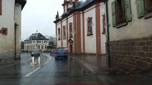
Neues Schloss
Monument and historic site · 3.3 km
Mansarddachbau mit pavillonartigen, kurzen Seitenflügeln
1 Steinbacher Straße, Lohr am Main

Burgruine und Klosterruine Schönrain
Monument and historic site · 7.6 km
Ehemaliges Kloster mit Hirsauer Priorat 1525 Verkauf an die Grafen von Rieneck und Umbau zum Schloss, nach 1601 Würzburger Amtssitz,...

Fahrzeug- und Technikmuseum Neuendorf
Museum · 6.6 km
1 Nantenbacher Straße, Neuendorf
"Mai - Ende Oktober, jeden 1. Sonntag von 11.00 - 16.00 Uhr"
Schönrain am Main
Monument and historic site · 7.6 km
Cultural heritage monument D-6-77-131-71 (0) in Gemünden am Main, Bavaria
Ahler Kram
Museum · 7.0 km
8 Am Herrenhof, Partenstein
Mar 15 - Dec 15: Su 14:00-18:00

122 more on the map.
Parks, trails and playgrounds34




22 more on the map.
Restaurants and cafes68

Frankenhof
Restaurant · German · 0.9 km
38 Sendelbacher Straße, Lohr am Main
We-Fr 17:00-20:00; Sa 17:30-20:00; Su 11:30-14:00, 17:00-20:00
Gautam India Palace
Restaurant · Indian
Restaurant, Lounge
5 Ignatius-Taschner-Straße, Lohr am Main
Su,Tu-Th 11:30-14:30,17:00-22:00; Fr-Sa 11:30-14:30,17:00-23:00
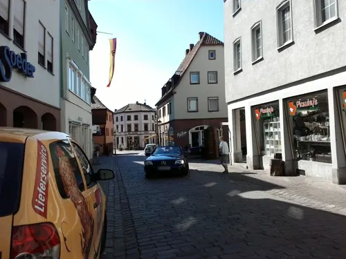
La Bruschetta
Restaurant · Italian · 0.6 km
Kleines nettes Restaurant, Pizza-service
8 Turmstraße, Lohr am Main
Tu-Su 11:00-14:00,17:00-23:00

Delphi
Restaurant · Greek · 6.7 km
2 Hauptstraße, Partenstein
Tu-Sa 17:00-22:00; Su 11:00-14:00,17:00-22:00; Mo off
Felsenkeller
Restaurant · Greek · 0.7 km
1 Valentinusberg, Lohr am Main
Mo-Su 11:30-14:00, 17:00-21:30
Gasthaus Schönbrunnen
Bar and pub · German · 0.6 km
28 Hauptstraße, Lohr am Main
Mo-We 09:00-22:00; Fr-Su 08:45-22:00
Grüner Baum
Restaurant · 0.8 km
Restaurant, Pizzeria, Lieferservice
74 Wombacher Straße, Lohr am Main
Tu-Sa 17:00-23:00;Su 10:30-23:00
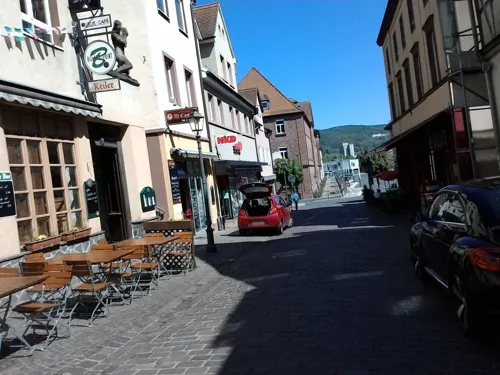
Hotel-Gasthof Krone
Restaurant · Regional · 0.7 km
2 Lohrtorstraße, Lohr am Main
11:00-14:00,17:00-23:00
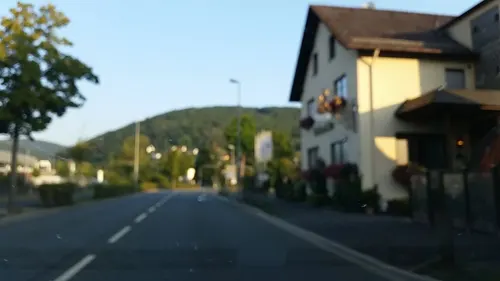
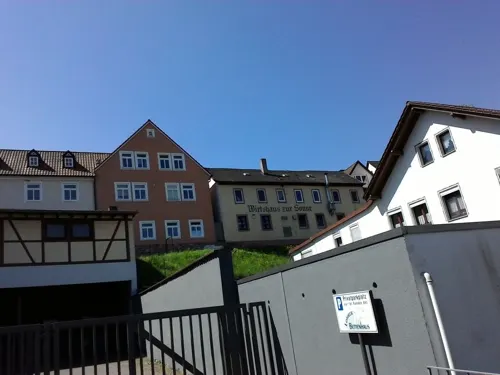


Lohrtor-Stüble
Restaurant · German, Italian Pizza · 0.7 km
3 Lohrtorstraße, Lohr am Main
Mo-Tu,Th,Sa 10:30-22:00; Su 11:00-22:00; We,Fr 11:00-22:00
56 more on the map.
History
The town of Lohr am Main was settled no later than the 8th century, and by the time of its first documentary mention in 1295 it was already the main centre of the County of Rieneck.
In 1333 Lohr was granted town rights, which can be explained by the disagreement about the inheritance of the Counts of Rieneck-Rothenfels, which had died out. Indeed, Lohr had been a "town" for quite some time already. The town lords were the Counts of Rieneck, who had been enfeoffed by the Archbishop of Mainz (evidence of this is only available beginning in 1366).
In 1559, after the last Count of Rieneck, Philipp III’s death, the fief passed to the Archbishopric of Mainz. From 1603 to 1618, during the "Recatholization" many townsfolk fell victim to persecution as witches. The former Oberamt of the Prince-Bishopric of Würzburg was secularized in favour of Prince Primate von Dalberg's Principality of Aschaffenburg and passed along with this state in 1814 (by this time it had become a part of the Grand Duchy of Frankfurt) to the Kingdom of Bavaria. In the course of administrative reform in Bavaria, the current town-level municipality came into being with the Gemeindeedikt ("Municipal Edict") of 1818.
In 1875, the Alte Mainbrücke (old Main bridge) was built. In 1936 came the new Lindig neighbourhood. In 1939, Sendelbach was amalgamated with the town.
From the History section of Lohr am Main on Wikipedia, under CC BY-SA 4.0.
Where to stay12
Churches and places of worship32
Barockkirche St. Josef
Church · Catholic · 3.3 km
16 Steinbacher Straße, Lohr am Main
St. Jakobus
Church · Roman Catholic · 3.5 km
2 St.-Jakobus-Straße, Lohr am Main
St. Bonifatius Sackenbach
Church · Catholic · 2.4 km
19 Spessartstraße, Lohr am Main
St. Michael
Church · Roman Catholic · 0.7 km
2 Kirchplatz, Lohr am Main
Shopping25
Gas and EV charging9
Auto Huth GmbH
Gas station · 1.3 km
5 Bürgermeister-Dr.-Nebel-Straße, Lohr am Main
Schools, colleges and libraries15
Bayerische Forstschule und Bayerische Technikerschule für Waldwirtschaft
School
2 Am Forsthof, Lohr am Main
Franz-Ludwig-von-Erthal-Gymnasium und Gustav-Woehrnitz-Mittelschule
School · 1.4 km
8 Nägelseestraße, Lohr am Main
Healthcare7
Buchen-Apotheke
Clinic and pharmacy · 0.9 km
7a Sendelbacher Straße, Lohr am Main
Verwaltung Klinik für Psychatrie, Psychotherapie und Psychosomatik
Clinic and pharmacy
Map of Lohr am Main
250 places. The map loads OpenStreetMap tiles when you open it.
Getting there and nearby towns
Verkehrslandeplatz Giebelstadt (GHF) is the nearest airport with scheduled flights listed in OpenStreetMap, 47 km away.
- Marktheidenfeld 16 km south, about 16 min by car
- Wertheim 26 km south, about 26 min by car
- Veitshöchheim 28 km southeast, about 28 min by car
- Mömbris 31 km west, about 31 min by car
- Würzburg 35 km southeast, about 35 min by car
- Wächtersbach 36 km northwest, about 36 min by car
- Steinau an der Straße 37 km north, about 37 min by car
- Werneck 38 km east, about 38 min by car
- Tauberbischofsheim 41 km south, about 41 min by car
- Rodenbach 42 km northwest, about 42 min by car
Drive times are estimates from straight-line distance, not routes.
Local news
Headlines from INDB.
Reviews, tips and questions
Loading what members have shared...
Sources and licences
- GeoNames (CC BY 4.0): population, coordinates, regions and time zone
- Mapillary (see each image): photos
- OpenStreetMap contributors (ODbL 1.0): places, airports, map data
- Wikidata (CC0 1.0): elevation, founding date, time zone, website, landmarks and historic places
- Wikimedia Commons (see each image): photos
- Wikipedia (CC BY-SA 4.0): overview and history text
Photo credits
- Lohr am Main, Drow69, CC BY-SA 4.0
- Nantenbach Mainbrücke Schönrain-Tunnel 2006-01-29-b, Unknown author, CC BY 2.5
- RuineSchoenrainSO, Fjellfross at German Wikipedia, CC BY-SA 3.0
- Schloss Lohr 9149 2, Sven Teschke, CC BY-SA 3.0 de
- Lohr Kirchturm, Sven Teschke, CC BY-SA 3.0
- Haaggasse Trafohaus (Lohr a. Main), Gliwi, CC BY-SA 3.0 de
- 2011 Maintal 090 Kloster Neustadt am Main, Steffen 962, CC0
- Partenstein Christuskirche 006, Tilman2007, CC BY-SA 3.0
- Lohr am Main, Hauptstraße 10-001, Tilman2007, CC BY-SA 3.0
- Kaplan-Höfling-Straße 16 (Lohr a. Main), Gliwi, CC BY-SA 3.0 de
- Kirche Pflochsbach, Joachim Jörg Heldt, CC BY-SA 4.0
- Seitenansicht St. Bonifaz (Lohr am Main-Sackenbach), Langenbergstefan, CC BY-SA 3.0
- Steinbach Barockkirche, Reise-Line, CC BY-SA 3.0
- Lohr Auferstehungskirche 001, Tilman2007, CC BY-SA 3.0
- LohrWombach02, Ammerseer, CC BY-SA 3.0
- NSG Romberg 2014 09, Bonnlander, CC BY-SA 4.0
- Steinfeld, Hausen, Filialkirche-002, Tilman2007, CC BY-SA 3.0
- Lohr Bayersturm, PetrusSilesius, CC BY 2.5
- Lohrer Schloss 08.03.2025 001, Nilaxus, CC BY-SA 4.0
- Isolatorenmuseum Lohr am Main 01, Salino01, CC BY-SA 3.0
- MSP NSG Romberg Sept2014 0, Bonnlander, CC BY-SA 3.0
- Street-level photo, Heldt, CC BY-SA 4.0
- Street-level photo, mprins, CC BY-SA 4.0
- Street-level photo, mprins, CC BY-SA 4.0
- Street-level photo, mprins, CC BY-SA 4.0
- Street-level photo, mprins, CC BY-SA 4.0
- Street-level photo, mprins, CC BY-SA 4.0
- Street-level photo, mprins, CC BY-SA 4.0
- Street-level photo, mprins, CC BY-SA 4.0
- Street-level photo, Heldt, CC BY-SA 4.0
- Street-level photo, tian, CC BY-SA 4.0
- Street-level photo, tian, CC BY-SA 4.0
- Street-level photo, ramap, CC BY-SA 4.0
- Street-level photo, Heldt, CC BY-SA 4.0
- Street-level photo, mprins, CC BY-SA 4.0
- Street-level photo, ramap, CC BY-SA 4.0
- Street-level photo, mprins, CC BY-SA 4.0
- Street-level photo, Heldt, CC BY-SA 4.0


Page built November 8, 2026. Spotted a mistake? Tell us or suggest a place.