


Why visit Mömbris
Townapedia lists 36 museums and landmarks, 6 parks and trails, 50 places to eat, 11 places to stay and 28 attractions in and around town.
Highlights include Kalmus, Bauersberg, Backes and Gräfenberg Castle.
Weather in Mömbris
Forecast from MET Norway (CC BY 4.0). Full forecast
About Mömbris
Mömbris is a municipality – since 31 January 1964 a market municipality – in the Aschaffenburg district in the Regierungsbezirk of Lower Franconia (Unterfranken) in Bavaria, Germany. With over 11,000 inhabitants, Mömbris is the district's fifth largest municipality.
From the Wikipedia article Mömbris (this version), under CC BY-SA 4.0.
Things to do28






16 more on the map.
Museums and landmarks36

Backes
Monument and historic site · 1.8 km
Historischer Dorfbrotbackofen
26 Alzenauer Straße

Gräfenberg Castle
Monument and historic site · 6.3 km
Former castle on Gräfenberg hill near Rottenberg, Germany


ehem. Bunker 145
Monument and historic site · 4.3 km
Bunker 145 der Befestigungslinie - "Wetterau-Main-Tauber-Stellung"

ehem. Bunker 146
Monument and historic site · 4.3 km
Bunker 146 der Befestigungslinie - "Wetterau-Main-Tauber-Stellung"

ehem. Bunker 147
Monument and historic site · 4.3 km
Bunker 147 der Befestigungslinie - "Wetterau-Main-Tauber-Stellung"

Ruine Burg Mömbris
Monument and historic site
Gelegentlich fälschlicherweise als Womburg bezeichnet, weil die Burg im 19. Jahrhundert noch nicht zu lokalisieren war


24 more on the map.
Parks, trails and playgrounds6



Restaurants and cafes50

Reiterstübchen
Restaurant · Regional · 2.1 km
1a, Krombach
Fr 15:00-21:00, Sa 11:30-21:30, Su 11:30-21:00

Berggasthof Hahnenkamm
Restaurant · German · 4.0 km
Restaurant und Biergarten
1 Hahnenkamm Haus, Alzenau
Tu-Sa 10:00-22:00; Mo off; Su 10:00-19:00
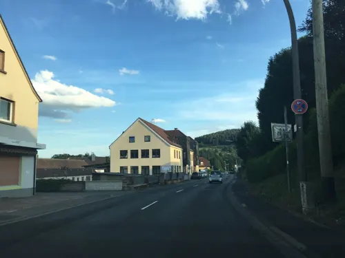
Pizzeria Riva (Abhol- und Lieferservice)
Restaurant · Italian, German, Greek
Warme Küche bis 23 Uhr
13 Schimborner Straße, Mömbris
Tu-Sa 17:00-01:00; Su 17:00-00:00
Restaurant Heimbacher Mühle
Restaurant · Regional · 2.1 km
Mit Biergarten am Mühlbach. Warme Küche bis 14:00 und ab 18:00 Uhr. Selbstgebackener Kuchen am Wochenende nachmittags
18 Heimbacher Mühle, Mömbris
We-Fr 11:30-15:00, 17:00-21:00; Sa,Su 11:30-21:00
Zum Engel
Restaurant · Regional · 5.0 km
Warme Küche Sonntags bis 14:00 und ab 16:00 Uhr
15 Schimborner Straße, Hösbach
Tu,Fr,Sa 16:00-22:00; Su 10:00-21:00
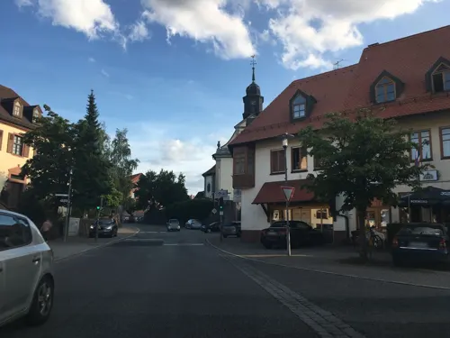
Beata's Café
Cafe
Werktags Mo - Fr 9:00 Uhr – 12:00 Uhr Frühstück ab 12:00 Uhr -14:00 Uhr Mittagstisch Wochenende Sa. 9:00 Uhr – 14:00 Uhr Frühstück So....
10 Am Markt, Mömbris
Mo 09:00-18:00, Tu off, We 09:00-18:00, Th 09:00-18:00, Fr...
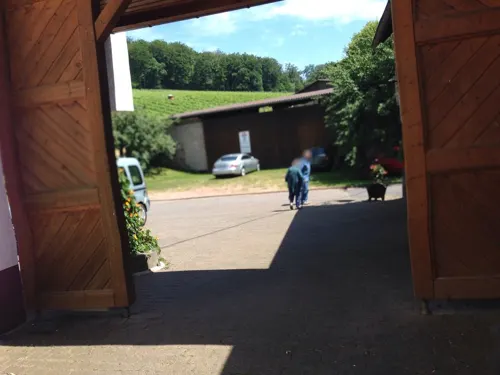
Heidis Braustüberl
Restaurant · Regional, German · 5.2 km
30 Am Heigenberg, Hösbach
Mo-Th,Su 12:00-22:00, Fr,Sa 12:00-23:00
Landgasthof "Zur Rose"
Restaurant · German · 1.1 km
12 Womburgstraße
Tu-Sa 16:30-21:30; Mo closed; Su 11:30-14:00,17:00-21:00
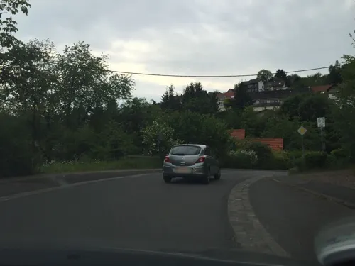
Rückersbacher Schlucht
Restaurant · 5.0 km
33 Hörsteiner Straße, Johannesberg
We-Fr 17:00+; Sa,Su,PH 11:30-22:00
Zur Sommerfrische
Restaurant · German, Pizza · 2.5 km
10 Frankenstraße, Krombach
We-Fr 11:00-14:00,17:00-22:00; Sa 15:00+; Su 11:00-21:00


Edelbrennerei A. J. Dirker
Brewery and winery · 2.8 km
108 Alzenauer Straße, Mömbris
Mo-Fr 09:00-12:00,14:30-18:00; We off; Sa 09:00-12:00
38 more on the map.
History
The Mömbris tithe court belonged until 1748, along with those of Alzenau and Hörstein and the free court to the Wilmundsheim vor der Hart (Alzenau) Markgenossenschaft (a kind of collective arrangement in which several villages jointly owned land resources). Free Märker (Markgenossenschaft dwellers) gathered every year in Alzenau to choose a Landrichter (judge) and foresters and to deal with important decisions.
The tithe courts originally had Imperial immediacy. Chairmanship was held by a tithe count chosen to serve for one year. Each village supplied, commensurately with each one's number of freemen, Schöffen (roughly “lay jurists”) whose job it was to mete out justice. In 1500, the tithe courts lost their Imperial immediacy along with its attendant privileges. Ecclesiastical jurisdiction was thereafter exercised by the Archbishopric of Mainz.
Mömbris became under the Reichsdeputationshauptschluss in 1803 part of the newly formed Principality of Aschaffenburg, ruled by Prince primate Karl Theodor von Dalberg, with which it passed in 1814 (by this time it had become a department of the Grand Duchy of Frankfurt) to Bavaria.
From the History section of Mömbris on Wikipedia, under CC BY-SA 4.0.
Where to stay11
Churches and places of worship33
Kapelle St. Wendelin
Church · Roman Catholic · 2.6 km
21 Wendelinusstraße, Mömbris
St. Wendelin
Church · Roman Catholic · 3.3 km
10 Untere Kirchgasse, Mömbris
St. Cyriakus und Valentin
Church · Roman Catholic
1 Johannesberger Straße, Mömbris
St. Lambertus und St. Sebastian
Church · Catholic · 3.2 km
10 Schulberg, Krombach
Shopping12
Gas and EV charging4
Schools, colleges and libraries7
Healthcare2
Map of Mömbris
189 places. The map loads OpenStreetMap tiles when you open it.
Getting there and nearby towns
Frankfurt Airport (FRA) is the nearest airport with scheduled flights listed in OpenStreetMap, 44 km away.
- Rodenbach 13 km northwest, about 13 min by car
- Wächtersbach 23 km northeast, about 23 min by car
- Offenbach 29 km west, about 29 min by car
- Frankfurt am Main 35 km west, about 35 min by car
- Steinau an der Straße 35 km northeast, about 35 min by car
- Roßdorf 37 km southwest, about 37 min by car
- Ober-Ramstadt 40 km southwest, about 40 min by car
- Wertheim 42 km southeast, about 42 min by car
- Rosbach vor der Höhe 43 km northwest, about 43 min by car
- Darmstadt 43 km southwest, about 43 min by car
Drive times are estimates from straight-line distance, not routes.
Local news
Headlines from INDB.
Reviews, tips and questions
Loading what members have shared...
Sources and licences
- GeoNames (CC BY 4.0): population, coordinates, regions and time zone
- Mapillary (see each image): photos
- OpenStreetMap contributors (ODbL 1.0): places, airports, map data
- Wikidata (CC0 1.0): elevation, founding date, time zone, website, landmarks and historic places
- Wikimedia Commons (see each image): photos
- Wikipedia (CC BY-SA 4.0): overview and history text
Photo credits
- Mömbris Ortsbild, Prof. emeritus Hans Schneider (Geyersberg), CC BY-SA 3.0
- St. Cyriakus in Mömbris (01), Prof. emeritus Hans Schneider (Geyersberg), CC BY-SA 3.0
- Fachwerkhaus Mömbris Rote Hohle 15, Freak-Line-Community, CC BY-SA 3.0
- Fachwerkhaus Mömbris Hauptstraße 2, Freak-Line-Community, CC BY-SA 3.0
- Fachwerkhaus Mömbris Rote Hohle 1, Freak-Line-Community, CC BY-SA 3.0
- Fachwerkhaus Mömbris Rote Hohle 7, Freak-Line-Community, CC BY-SA 3.0
- Fachwerkkapelle St Anna Mömbris1, Freak-Line-Community, CC BY-SA 3.0
- Fachwerkkapelle St Anna Mömbris, Freak-Line-Community, CC BY-SA 3.0
- Obermühle Mömbris Königsrad, Freak-Line-Community, CC BY-SA 4.0
- Obermühle Mömbris Mühlensteine, Freak-Line-Community, CC BY-SA 4.0
- Fachwerkhaus Mömbris am Markt 12, Freak-Line-Community, CC BY-SA 3.0
- Burg Mömbris 008, Commander-pirx, CC BY-SA 4.0
- Obermühle Mömbris, Freak-Line-Community, CC BY-SA 4.0
- Mömbris Johannesberger Straße 4 (01), Prof. emeritus Hans Schneider, CC BY 3.0
- Mömbris Fachwerkhaus Hauptstraße 44 (01), Prof. emeritus Hans Schneider (Geyersberg), CC BY 4.0
- Fachwerkhaus Mömbris Johannesberger Straße 4, Freak-Line-Community, CC BY-SA 3.0
- Katholische Pfarrkirche St Cyriakus Mömbris, Freak-Line-Community, CC BY-SA 3.0
- Pfarrhaus Mömbris am Markt 5, Freak-Line-Community, CC BY-SA 3.0
- Mömbris Fachwerkhaus Hauptstraße 46 (01), Prof. emeritus Hans Schneider (Geyersberg), CC BY 4.0
- Mömbris Pfarramt (01), Prof. emeritus Hans Schneider (Geyersberg), CC BY 3.0
- Bahnhofstraße 5 Mömbris, Freak-Line-Community, CC BY-SA 4.0
- Mömbris Bildstock Steinhohle 2 (01), Prof. emeritus Hans Schneider (Geyersberg), CC BY 3.0
- Burg Mömbris 004, Commander-pirx, CC BY-SA 4.0
- Fachwerkhaus Mömbris Steinhohle 4, Freak-Line-Community, CC BY-SA 3.0
- Fachwerkhaus Mömbris Friedhofstraße 2, Freak-Line-Community, CC BY-SA 3.0
- Mömbris Nähe Am Markt (01), Prof. emeritus Hans Schneider, CC BY 3.0
- Mömbris, straatzicht met die katholische Pfarrkirche Sankt Cyriakus DmD-6-71-143-7 foto72016-08-09 11.33, Michielverbeek, CC BY-SA 4.0
- Mömbris Schmiede (03), Prof. emeritus Hans Schneider (Geyersberg), CC BY 4.0
- Ölmühle Mömbris sunrise, Freak-Line-Community, CC BY-SA 4.0
- Mömbris Schmiede (02), Prof. emeritus Hans Schneider (Geyersberg), CC BY 4.0
- Gräfenberg Mauer, Freak-Line-Community, CC BY-SA 3.0
- Burg Mömbris, Freak-Line-Community, CC BY-SA 3.0
- Hahnenkamm4, Freak-Line-Community, CC BY-SA 3.0
- Heidkopf2, Freak-Line-Community, CC BY-SA 3.0
- Hüttenberger Kapelle, Freak-Line-Community, CC BY-SA 3.0
- Ruine Hüttelngesaß, Freak-Line-Community, CC BY-SA 3.0
- Randenburg Hügel, Freak-Line-Community, CC BY-SA 3.0
- Schanzenkopf3, Freak-Line-Community, CC BY-SA 3.0
- Bildeiche (Spessart), Freak-Line-Community, CC BY-SA 3.0
- Glasberg, Freak-Line-Community, CC BY-SA 3.0
- Scharfenstein (Spessart), Freak-Line-Community, CC BY-SA 4.0
- Bauersberg, Freak-Line-Community, CC BY-SA 3.0
- Herrenberg (Spessart), Freak-Line-Community, CC BY-SA 4.0
- Rabengrundkopf, Freak-Line-Community, CC BY-SA 4.0
- Feldkahl Kirche St. Johannes Nepomuk (01), Prof. emeritus Hans Schneider (Geyersberg), CC BY-SA 3.0
- Krombach Kirche (01), Prof. emeritus Hans Schneider (Geyersberg), CC BY 4.0
- Daxberg Heilig Kreuz Kirche (02), Prof. emeritus Hans Schneider (Geyersberg), CC BY-SA 3.0
- Kapelle Großhemsbach, Freak-Line-Community, CC BY-SA 3.0
- Backofen Alzenauer Straße, Freak-Line-Community, CC BY-SA 3.0
- Reichenbach, Ortskirche, Prof. emeritus Hans Schneider (Geyersberg), CC BY-SA 3.0
- Bunker 145 Michelbach (4), Freak-Line-Community, CC BY-SA 4.0
- Bunker 146 Michelbach (8), Freak-Line-Community, CC BY-SA 4.0
- Bunker 147 Michelbach, Freak-Line-Community, CC BY-SA 4.0
- Brücken Wendelinuskapelle, Gabriele Delhey, CC BY-SA 3.0
- Königshofen St. Wendelin (01), Prof. emeritus Hans Schneider (Geyersberg), CC BY-SA 3.0
- Krombach Hof Hauenstein (01), Prof. emeritus Hans Schneider (Geyersberg), CC BY 3.0
- Street-level photo, rjrrjr3, CC BY-SA 4.0
- Street-level photo, rjrrjr3, CC BY-SA 4.0
- Street-level photo, ramap, CC BY-SA 4.0
- Street-level photo, flidolin, CC BY-SA 4.0
- Street-level photo, m_groebs, CC BY-SA 4.0
- Street-level photo, troher15, CC BY-SA 4.0
- Street-level photo, troher15, CC BY-SA 4.0
- Street-level photo, ramap, CC BY-SA 4.0
- Street-level photo, ramap, CC BY-SA 4.0
- Street-level photo, m_groebs, CC BY-SA 4.0
- Street-level photo, troher15, CC BY-SA 4.0
- Street-level photo, flidolin, CC BY-SA 4.0
- Street-level photo, m_groebs, CC BY-SA 4.0
- Street-level photo, Velo63739, CC BY-SA 4.0
- Street-level photo, flidolin, CC BY-SA 4.0
- Street-level photo, rjrrjr3, CC BY-SA 4.0
- Street-level photo, ramap, CC BY-SA 4.0
- Street-level photo, rjrrjr3, CC BY-SA 4.0
- Street-level photo, flidolin, CC BY-SA 4.0
- Street-level photo, flidolin, CC BY-SA 4.0
- Street-level photo, ramap, CC BY-SA 4.0
- Street-level photo, Velo63739, CC BY-SA 4.0
- Street-level photo, m_groebs, CC BY-SA 4.0


Page built November 8, 2026. Spotted a mistake? Tell us or suggest a place.