


Meckenheim, Germany
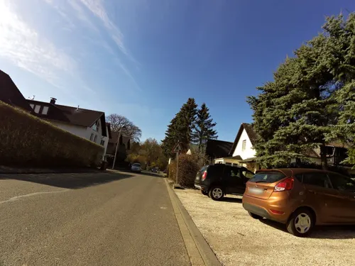
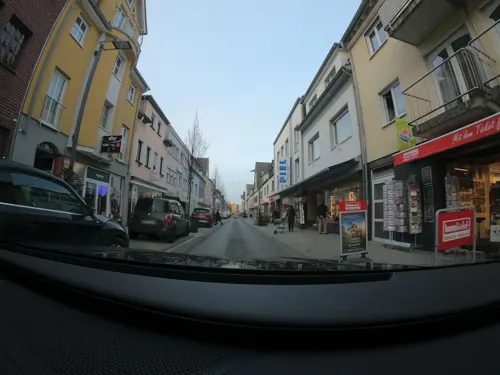
Meckenheim is a town of 25,515 people in North Rhine-Westphalia, Germany.
Why visit Meckenheim
Townapedia lists 88 museums and landmarks, 29 parks and trails, 85 places to eat, 8 places to stay and 10 attractions in and around town.
Highlights include Bauernhof Schimmel, Grafschafter Krautfabrik Werksverkauf, Kutschenmuseum Mostert and Schloss Gelsdorf.
Weather in Meckenheim
Forecast from MET Norway (CC BY 4.0). Full forecast
About Meckenheim
Meckenheim (German pronunciation: [ˈmɛkn̩haɪm] ; Kölsch: Meckem) is a town in the Rhein-Sieg district, in North Rhine-Westphalia, Germany.
From the Wikipedia article Meckenheim (this version), under CC BY-SA 4.0.
Things to do10

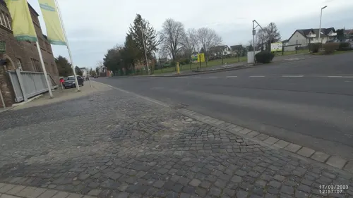
Grafschafter Krautfabrik Werksverkauf
Farm and orchard · 0.9 km
22-26 Wormersdorfer Straße, Meckenheim
Mo-Th 08:00-16:00; Fr-Su off
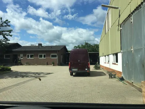
Hofladen Sonntag
Farm and orchard · 4.2 km
3 Am Burggraben, Grafschaft
Mo-Fr 09:00-18:00; Sa 09:00-14:00
Hofladen Pude-Nolden
Farm and orchard · 4.0 km
26 Zippengasse, Rheinbach
Mo-Sa 09:00-19:00

Hofladen Weißweiler
Farm and orchard · 4.4 km
1 Villiper Weg, Wachtberg
Obstbau Felten
Farm and orchard · 0.8 km
Mo-Fr 08:00-19:00; Sa 08:00-17:30; Su 09:00-17:30

Museums and landmarks88

Kutschenmuseum Mostert
Museum · 5.3 km
Kutschensammlung der Familie Mostert mit Fahrzeugen aus dem 19. Jahrhundert
4 Koblenzer Straße, Rheinbach
Mo-Th 08:00-17:00; Fr 08:00-13:00



Burg Münchhausen
Monument and historic site · 1.8 km
1 Burg Münchhausen, Wachtberg


Burg Lüftelberg
Monument and historic site · 3.3 km
7 Schloßstraße, Meckenheim

Dickbaumskreuz
Monument and historic site · Catholic · 4.2 km
Das Kreuz dienste als Wegemarke zu Zeiten des Kurfürsten Clemens August. Das Kreuz zeigt das gekrönte kurfürstliche Wappen.


76 more on the map.
Parks, trails and playgrounds29




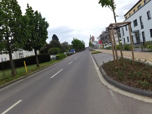

Gerichtsstraße
Playground · 1.9 km
Mar-Sep 08:00-13:00,15:00-20:00, Oct-Feb 09:00-13:00,15:00-18:00;...

Oppelner Straße
Playground · 0.7 km
Mar-Sep 08:00-13:00,15:00-20:00, Oct-Feb 09:00-13:00,15:00-18:00;...
17 more on the map.
Restaurants and cafes85
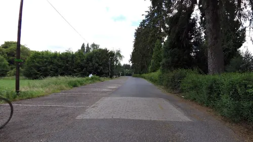
Waldgaststätte Bahnhof Kottenforst
Restaurant · German · 4.3 km
8 Bahnhof Kottenforst, Meckenheim
Tu-Su 11:00+; Mo off

Gaststätte Waldesruh
Restaurant · German, Cake, Ice Cream · 4.5 km
62 Dorfstraße, Wachtberg
Mo-Sa 12:00+; Su 11:00+
La Taverna
Restaurant · Indian · 0.6 km
80 Hauptstraße, Meckenheim
Su-Mo, We-Fr 11:30-14:30, 17:00-22:30; Sa 17:00-22:30
Reis Haus Asian Fusion
Restaurant · Asian · 0.8 km
28-30 Neuer Markt, Meckenheim
PH,Fr-Su 11:00-21:30; Tu-Th 11:00-15:00,16:00-21:30
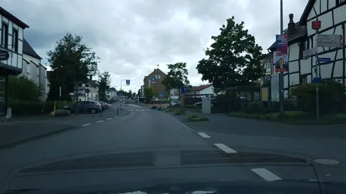
Türkmen's Pizza & Kebabhaus
Restaurant · Turkish · 2.6 km
83 Töpferstraße, Wachtberg
We-Su 11:30-21:30
Vellini - Restaurant & Bar
Restaurant · German, Regional, Burger, Pasta, Pizza, Seafood, Steak, Tapas · 1.1 km
32 Bahnhofstraße, Meckenheim
Mo-Sa 09:00-23:00, Su 10:00-23:00
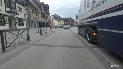
Zum Fässchen
Restaurant · Regional · 0.6 km
92 Hauptstraße, Meckenheim
We-Sa 17:00+; Su 11:30-14:00,17:00+
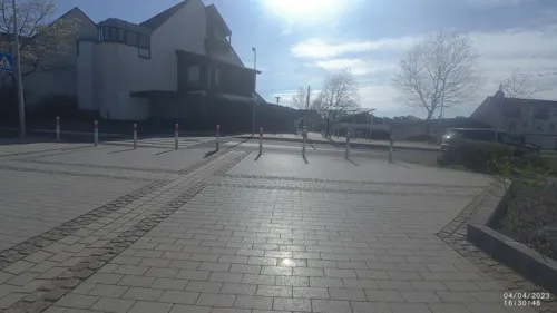


Ohm Hein
Restaurant · Regional · 3.7 km
16 Ahrstraße, Meckenheim
Mo,We,Th 17:00-22:00; Fr,Sa,Su 11:00-14:00,17:00-22:00
Pizzeria Klaus
Restaurant · Pizza, Pasta, German, Kebab · 1.9 km
9 Zypressenweg, Meckenheim
Tu-Fr 11:00-14:30, 17:00-22:00; Sa, Su, PH 12:00-22:00
73 more on the map.
History
The area around Meckenheim was already settled in the Neolithic Age. At the time of the Roman occupation of the Rhine region, an aqueduct from the Eifel to Cologne ran through the district of today's Lüftelberg. The area around Meckenheim was probably settled by the Franks in the 5th century AD, which is still reflected today in the syllables -heim and -dorf in the names of the city and its neighbouring villages. Over 300 graves from this period have been uncovered and analysed. The first documented mention dates back to 853 AD, when the property was transferred to the Cassius Monastery in Bonn.
Initially, Meckenheim was located exclusively around the Swist river, the area between Meckenheim and Merl was not or only sparsely populated. Meckenheim was granted town privileges on July 28, 1636 by Prince-elector Ferdinand of Bavaria, the Archbishop of Cologne at the time; at this time, Meckenheim belonged to the secular domain of the archbishopric, known as the Electorate of Cologne (Kurköln). On March 28, 1787, a major fire destroyed almost the entire town, which at that time had between 550 (around 1700) and 1100 (1812) inhabitants.
From the History section of Meckenheim on Wikipedia, under CC BY-SA 4.0.
Where to stay8
Churches and places of worship24
Antoniuskapelle
Church · Roman Catholic · 4.5 km
Antoniusweg, Wachtberg
St. Jakobus der Ältere
Church · Catholic · 3.7 km
30 Rheinbacher Straße, Meckenheim
St. Martin
Church · Catholic · 3.4 km
Wormersdorfer Straße, Rheinbach
Shopping27
Gas and EV charging15
Schools, colleges and libraries27
Katholische Öffentliche Bücherei St. Martin
Library · 3.4 km
16 Kantenberg, Rheinbach
Waldschule Alfter Teilstandort Meckenheim-Merl
School · 1.4 km
10 An der Alten Eiche, Meckenheim
Healthcare10
LVR-Klinik Bonn - Behandlungszentrum Meckenheim
Clinic and pharmacy · 1.0 km
42 Siebengebirgsring, Meckenheim
Map of Meckenheim
250 places. The map loads OpenStreetMap tiles when you open it.
Getting there and nearby towns
Cologne Bonn Airport (CGN) is the nearest airport with scheduled flights listed in OpenStreetMap, 28 km away.
- Wachtberg 5 km east, about 5 min by car
- Rheinbach 6 km west, about 6 min by car
- Bonn 13 km north, about 13 min by car
- Weilerswist 19 km northwest, about 19 min by car
- Sankt Augustin 21 km northeast, about 21 min by car
- Niederkassel 21 km north, about 21 min by car
- Troisdorf 22 km north, about 22 min by car
- Wesseling 23 km north, about 23 min by car
- Siegburg 23 km northeast, about 23 min by car
- Zülpich 28 km west, about 28 min by car
Drive times are estimates from straight-line distance, not routes.
Local news
Headlines from INDB.
Reviews, tips and questions
Loading what members have shared...
Sources and licences
- GeoNames (CC BY 4.0): population, coordinates, regions and time zone
- Mapillary (see each image): photos
- OpenStreetMap contributors (ODbL 1.0): places, airports, map data
- Wikidata (CC0 1.0): elevation, founding date, time zone, website
- Wikimedia Commons (see each image): photos
- Wikipedia (CC BY-SA 4.0): overview and history text
Photo credits
- Meckenheim 008x, Wolkenkratzer, CC BY-SA 4.0
- Meckenheim Evangelische Christuskirche (03), Prof. emeritus Hans Schneider (Geyersberg), CC BY 4.0
- Meckenheim Evangelische Christuskirche (02), Prof. emeritus Hans Schneider (Geyersberg), CC BY 4.0
- Meckenheim Evangelische Christuskirche (04), Prof. emeritus Hans Schneider (Geyersberg), CC BY 4.0
- Meckenheim Evangelische Christuskirche (01), Prof. emeritus Hans Schneider (Geyersberg), CC BY 4.0
- Meckenheim Merler Straße (06), Prof. emeritus Hans Schneider (Geyersberg), CC BY 4.0
- Meckenheim Merler Straße (05), Prof. emeritus Hans Schneider (Geyersberg), CC BY 4.0
- Meckenheim Dechant-Kreiten-Straße Kapelle (06), Prof. emeritus Hans Schneider (Geyersberg), CC BY 4.0
- Meckenheim Dechant-Kreiten-Straße Kapelle (01), Prof. emeritus Hans Schneider (Geyersberg), CC BY 4.0
- Meckenheim Merler Straße (03), Prof. emeritus Hans Schneider (Geyersberg), CC BY 4.0
- Meckenheim Dechant-Kreiten-Straße Kapelle (05), Prof. emeritus Hans Schneider (Geyersberg), CC BY 4.0
- Meckenheim Merler Straße (04), Prof. emeritus Hans Schneider (Geyersberg), CC BY 4.0
- Meckenheim Dechant-Kreiten-Straße Kapelle (07), Prof. emeritus Hans Schneider (Geyersberg), CC BY 4.0
- Meckenheim Dechant-Kreiten-Straße Kapelle (04), Prof. emeritus Hans Schneider (Geyersberg), CC BY 4.0
- Meckenheim Dechant-Kreiten-Straße Kapelle (03), Prof. emeritus Hans Schneider (Geyersberg), CC BY 4.0
- Meckenheim Merler Straße (02), Prof. emeritus Hans Schneider (Geyersberg), CC BY 4.0
- Stolpersteins Jakob Arensberg, Paula Arensberg, Lieselotte Arensberg, Rolf Arensberg, Neustraße 20, Meckenheim, Josef 'Jupp' Schugt (aka 'Penpen'), CC BY 4.0
- Karnevalsumzug Meckenheim 2013-02-10-2156, Slick, CC0
- Karnevalsumzug Meckenheim 2013-02-10-2132, Slick, CC0
- Karnevalsumzug Meckenheim 2013-02-10-2138, Slick, CC0
- Karnevalsumzug Meckenheim 2013-02-10-2135, Slick, CC BY-SA 3.0 de
- Karnevalsumzug Meckenheim 2013-02-10-2127, Slick, CC0
- Karnevalsumzug Meckenheim 2013-02-10-2133, Slick, CC0
- Karnevalsumzug Meckenheim 2013-02-10-2125, Slick, CC BY-SA 3.0 de
- Karnevalsumzug Meckenheim 2013-02-10-2149, Slick, CC0
- Karnevalsumzug Meckenheim 2013-02-10-2145, Slick, CC BY-SA 3.0 de
- Karnevalsumzug Meckenheim 2013-02-10-2140, Slick, CC BY-SA 3.0 de
- Karnevalsumzug Meckenheim 2013-02-10-2130, Slick, CC0
- Karnevalsumzug Meckenheim 2013-02-10-2141, Slick, CC BY-SA 3.0 de
- Karnevalsumzug Meckenheim 2013-02-10-2151, Slick, CC BY-SA 3.0 de
- Karnevalsumzug Meckenheim 2013-02-10-2126, Slick, CC BY-SA 3.0 de
- Karnevalsumzug Meckenheim 2013-02-10-2143, Slick, CC0
- Karnevalsumzug Meckenheim 2013-02-10-2148, Slick, CC0
- Karnevalsumzug Meckenheim 2013-02-10-2144, Slick, CC0
- Karnevalsumzug Meckenheim 2013-02-10-2142, Slick, CC0
- Karnevalsumzug Meckenheim 2013-02-10-2150, Slick, CC BY-SA 3.0 de
- Karnevalsumzug Meckenheim 2013-02-10-2137, Slick, CC0
- Tomburg bei Rheinbach-Wormersdorf-0593, Raimond Spekking, CC BY-SA 4.0
- Arzdorf(Wachtberg)Antoniuskapelle397, Reinhardhauke, CC BY-SA 3.0
- Adendorf-002-, Wolkenkratzer, CC BY-SA 3.0
- Aerial image of Burg Gudenau (view from the northeast), Carsten Steger, CC BY-SA 4.0
- Burg Lüftelberg 046x, Wolkenkratzer, CC BY-SA 3.0
- Schloss Gelsdorf, Michamel, Public domain
- Kottenforst09, The original uploader was Harri Beau at German Wikipedia ., CC BY-SA 3.0 de
- St Jakobus d Ä, Ersdorf-0603, Raimond Spekking, CC BY-SA 4.0
- Adendorf(Wachtberg)St.Margareta401, GFreihalter, CC BY-SA 3.0
- Flerzheim Kirche (01), Prof. emeritus Hans Schneider (Geyersberg), CC BY 3.0
- Rheinbach - Kirche in Wormersdorf, A.Savin, CC BY-SA 3.0
- St. Peter (Lüftelberg)02, Chris06, CC BY-SA 4.0
- Wolfskreuz Kottenforst 02, Hagman, CC BY-SA 3.0 de
- Meckenheim Hauptstraße Kirche (01), Prof. emeritus Hans Schneider (Geyersberg), CC BY 4.0
- Meckenheim Godesberger Straße Kapelle (01), Prof. emeritus Hans Schneider (Geyersberg), CC BY 4.0
- Lüftelberg Kapelle Kottenforststraße (05), Prof. emeritus Hans Schneider (Geyersberg), CC BY 3.0
- 2025 Friedenskirche (Meckenheim im Rheinland) (1), Chris06, CC BY-SA 4.0
- 2020-07-28-bonn-kottenforst-wallfahrtkreuz-bornheim-ahrweiler-03, Axel Kirch, CC BY-SA 4.0
- Ramershoven Schmidtheimer Straße Kirche (02), Prof. emeritus Hans Schneider (Geyersberg), CC BY 4.0
- Lüfthildis-Bildstock im Kottenforst, ToLo46, CC BY-SA 4.0
- Tomburg 2006, Mabol!, CC BY-SA 3.0
- Naturschutzgebiet Eifelfuß 01, Assenmacher, CC BY-SA 4.0
- Witterschlick Dickbaumskreuz (01), Prof. emeritus Hans Schneider (Geyersberg), CC BY 3.0
- Street-level photo, dcp, CC BY-SA 4.0
- Street-level photo, VIA_KK, CC BY-SA 4.0
- Street-level photo, VIA_DT, CC BY-SA 4.0
- Street-level photo, coha, CC BY-SA 4.0
- Street-level photo, VIA_KK, CC BY-SA 4.0
- Street-level photo, coha, CC BY-SA 4.0
- Street-level photo, Lowiekse, CC BY-SA 4.0
- Street-level photo, KernelError, CC BY-SA 4.0
- Street-level photo, bitnapper, CC BY-SA 4.0
- Street-level photo, bitnapper, CC BY-SA 4.0
- Street-level photo, raymond, CC BY-SA 4.0
- Street-level photo, dcp, CC BY-SA 4.0
- Street-level photo, Lowiekse, CC BY-SA 4.0
- Street-level photo, raymond, CC BY-SA 4.0
- Street-level photo, pepu0815, CC BY-SA 4.0
- Street-level photo, VIA_DT, CC BY-SA 4.0
- Street-level photo, VIA_DT, CC BY-SA 4.0
- Street-level photo, coha, CC BY-SA 4.0
- Street-level photo, VIA_DT, CC BY-SA 4.0
- Street-level photo, VIA_DT, CC BY-SA 4.0
- Street-level photo, Lowiekse, CC BY-SA 4.0
- Street-level photo, raymond, CC BY-SA 4.0
- Street-level photo, raymond, CC BY-SA 4.0
- Street-level photo, dcp, CC BY-SA 4.0
- Street-level photo, VIA_KK, CC BY-SA 4.0
- Street-level photo, VIA_DT, CC BY-SA 4.0
- Street-level photo, changchun1, CC BY-SA 4.0
- Street-level photo, dcp, CC BY-SA 4.0


Page built November 8, 2026. Spotted a mistake? Tell us or suggest a place.