


Why visit Olfen
Townapedia lists 29 museums and landmarks, 25 parks and trails, 78 places to eat, 15 places to stay and 5 attractions in and around town.
Highlights include Mühle Niewind, Naturparkhaus Steveraue, Haus Rönhagen and Seppenrader Schweiz.
Weather in Olfen
Forecast from MET Norway (CC BY 4.0). Full forecast
About Olfen
Olfen (German pronunciation: [ˈɔlfn̩] ) is a town in the district of Coesfeld, in North Rhine-Westphalia, Germany.
From the Wikipedia article Olfen (this version), under CC BY-SA 4.0.
Things to do5




Museums and landmarks29
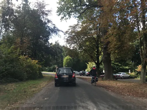




Mahnmal für die Opfer des Märzaufstandes 1920
Monument and historic site · 4.3 km
Mahnmal mit vermutlich 8 Gräbern. Restauriert 2006
17 more on the map.
Parks, trails and playgrounds25





YC Dortmund Ems e.V. Olfen
Marina and boat launch · 3.3 km
Strom, Wasser, Dusche, WC, Brötchenservice vom Hafenmeister

13 more on the map.
Restaurants and cafes78
Mutter Althoff
Restaurant · Regional · 4.0 km
42 Hauptstraße, Olfen
Mo-Tu 17:00-21:00; We-Sa 17:00-21:00; Su 12:00-20:00
Hafen Restaurant
Restaurant · Regional · 5.7 km
129 Hafenstraße
We-Sa 11:30-14:30, 17:30-22:00; Su 11:30-22:00
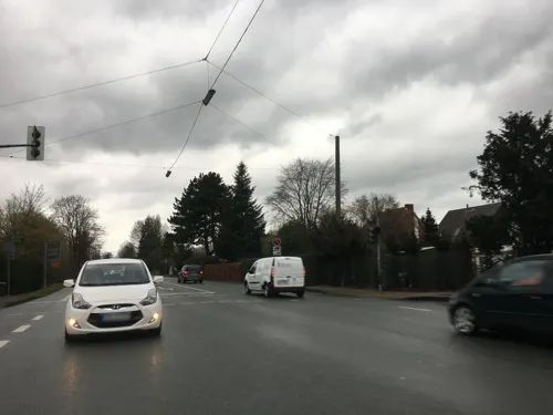
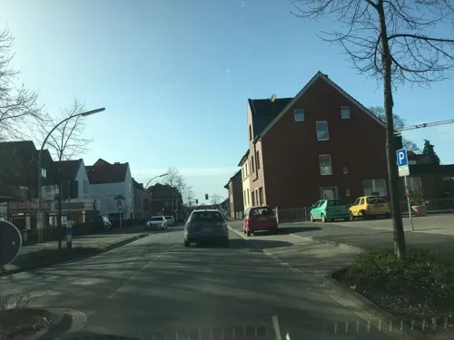
Leo's by Gino
Restaurant · Pizza
37 Bilholtstraße, Olfen
Mo-Th 12:00-22:00; Fr-Sa 12:00-23:00; Su 12:00-22:00
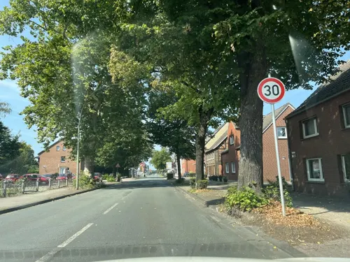
Restaurant Olympia
Restaurant · Greek · 5.4 km
1 Olfener Straße, Selm
Mo,We-Sa 17:00-23:00; Su 12:00-14:30,17:00-23:00; PH...
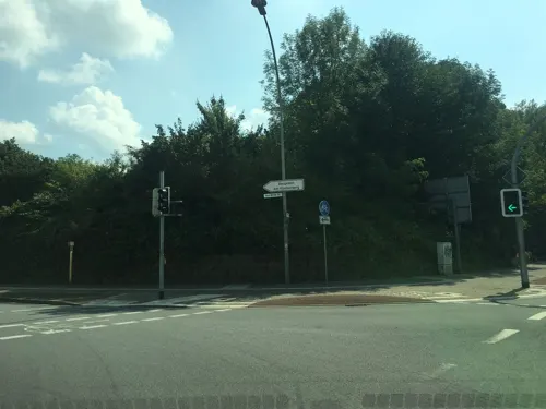
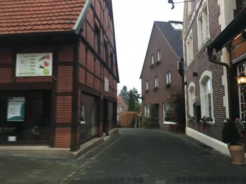
Holtermann
Bakery · 6.2 km
5 Kirchplatz, Lüdinghausen
Mo-Fr 06:30-12:30,14:00-18:00; Sa 06:00-17:00; Su 08:00-18:00
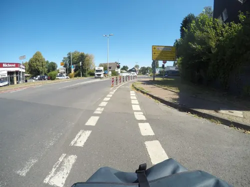
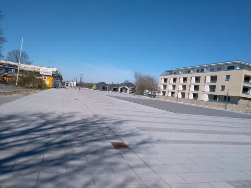
Kunstwerk Restaurant
Restaurant · Burger · 6.1 km
7 Campus, Selm
Mo-Th 08:00-23:00; Fr-Sa 08:00-01:00; Su 10:00-23:00
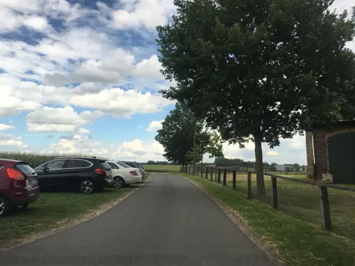

Landgasthaus Klaukenhof
Restaurant · German · 4.4 km
Innenbereich teilweise barrierefrei, ebenerdiger Zugang
51 Pelkumer Weg, Datteln
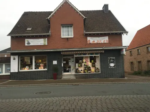


Mutter Siepe
Restaurant · 6.2 km
1 Träppken, Lüdinghausen
Tu 17:30-22:00; We-Su 12:00-14:00,17:30-22:00
66 more on the map.
History
Bishop Wolfhelm, who originated from the Ulfloa Oberhof, gave the small town its name in 889. Wolfhelm was the fourth bishop of "Mimingardeford", today called Münster.
The fire disaster of 1857, in which 142 houses were destroyed, has gone down as the "Great Fire of Olfen" in Olfen's history books.
From the History section of Olfen on Wikipedia, under CC BY-SA 4.0.
Where to stay15
Churches and places of worship13
Shopping17
Gas and EV charging9
Schools, colleges and libraries14
Healthcare6
Map of Olfen
211 places. The map loads OpenStreetMap tiles when you open it.
Getting there and nearby towns
Dortmund Airport (DTM) is the nearest airport with scheduled flights listed in OpenStreetMap, 27 km away.
- Selm 6 km east, about 6 min by car
- Waltrop 10 km south, about 10 min by car
- Recklinghausen 16 km southwest, about 16 min by car
- Werne 18 km east, about 18 min by car
- Herne 22 km southwest, about 22 min by car
- Dortmund 22 km south, about 22 min by car
- Wickede 25 km southeast, about 25 min by car
- Bochum 28 km southwest, about 28 min by car
- Unna 29 km southeast, about 29 min by car
- Gelsenkirchen 30 km southwest, about 30 min by car
Drive times are estimates from straight-line distance, not routes.
Local news
Headlines from INDB.
Reviews, tips and questions
Loading what members have shared...
Sources and licences
- GeoNames (CC BY 4.0): population, coordinates, regions and time zone
- Mapillary (see each image): photos
- OpenStreetMap contributors (ODbL 1.0): places, airports, map data
- Wikidata (CC0 1.0): elevation, founding date, time zone, website, landmarks and historic places
- Wikimedia Commons (see each image): photos
- Wikipedia (CC BY-SA 4.0): overview and history text
Photo credits
- Olfen, Ortsansicht -- 2014 -- 8890, Dietmar Rabich, CC BY-SA 4.0
- 20140601 134700 Schloss Sandfort, Olfen (DSC02384), Günter Seggebäing, Coesfeld, CC BY-SA 3.0
- Selm Friedenskirche, Unknown author, CC BY-SA 3.0
- Datteln Ahsen Haus Vogelsang, Unknown author, CC BY-SA 3.0
- Datteln Museum, Stahlkocher, CC BY-SA 3.0
- Olfen St. Vitus, Raenmaen, CC BY-SA 3.0
- Seppenrade, St.-Dionysius-Kirche -- 2013 -- 2841, Dietmar Rabich, CC BY-SA 4.0
- Ahsen 8, Velopilger, Public domain
- Ev Auferstehungskirche Seppenrade 2019-02-23, Dr. W. Strickling, CC BY-SA 4.0
- St. Marien Vinnum 2024-03-14 Olfen-1009132, Creosoph, CC BY-SA 4.0
- Luedinghausen Mon 45 Kriegerehrenmal, W.Strickling, CC BY-SA 4.0
- Olfen, Lippe -- 2014 -- 8893, Dietmar Rabich, CC BY-SA 4.0
- Olfen, Stever an der Füchtelner Mühle -- 2016 -- 3935-41, Dietmar Rabich, CC BY-SA 4.0
- OlfenAlteFahrt BrueckeStever02, NatiSythen, CC BY-SA 3.0
- Schloss Sandfort Sammlung Duncker, C. Hohe, Alexander Duncker (1813-1897), Public domain
- Olfen, Dreibogenbrücke -- 2021 -- 8900, Dietmar Rabich, CC BY-SA 4.0
- Motte Burg Wildau, Bodendenkmal B 15, Datteln-Klostern, Dr. W. Strickling, CC BY-SA 4.0
- Stolperstein Selm Auf der Sagkuhl 10 Margarete Höwische, Tomtom10, CC BY-SA 4.0
- Street-level photo, bct, CC BY-SA 4.0
- Street-level photo, descilla, CC BY-SA 4.0
- Street-level photo, descilla, CC BY-SA 4.0
- Street-level photo, awaya, CC BY-SA 4.0
- Street-level photo, descilla, CC BY-SA 4.0
- Street-level photo, descilla, CC BY-SA 4.0
- Street-level photo, mfa, CC BY-SA 4.0
- Street-level photo, awaya, CC BY-SA 4.0
- Street-level photo, descilla, CC BY-SA 4.0
- Street-level photo, descilla, CC BY-SA 4.0
- Street-level photo, descilla, CC BY-SA 4.0
- Street-level photo, descilla, CC BY-SA 4.0
- Street-level photo, poxonline, CC BY-SA 4.0
- Street-level photo, poxonline, CC BY-SA 4.0
- Street-level photo, poxonline, CC BY-SA 4.0
- Street-level photo, descilla, CC BY-SA 4.0
- Street-level photo, awaya, CC BY-SA 4.0
- Street-level photo, awaya, CC BY-SA 4.0
- Street-level photo, awaya, CC BY-SA 4.0
- Street-level photo, awaya, CC BY-SA 4.0
- Street-level photo, descilla, CC BY-SA 4.0
- Street-level photo, poxonline, CC BY-SA 4.0
- Street-level photo, poxonline, CC BY-SA 4.0
- Street-level photo, descilla, CC BY-SA 4.0
- Street-level photo, awaya, CC BY-SA 4.0
- Street-level photo, awaya, CC BY-SA 4.0
- Street-level photo, awaya, CC BY-SA 4.0


Page built November 8, 2026. Spotted a mistake? Tell us or suggest a place.