


Why visit Ottweiler
Townapedia lists 49 museums and landmarks, 14 parks and trails, 182 places to eat, 5 places to stay and 22 attractions in and around town.
Highlights include Panoramaturm Betzelhübel, Lichtenkopf, Saarländisches Schulmuseum and Spitzbunker.
Weather in Ottweiler
Forecast from MET Norway (CC BY 4.0). Full forecast
About Ottweiler
Ottweiler (German pronunciation: [ˈɔtvaɪlɐ] ) is a municipality, former seat of the district of Neunkirchen, in Saarland, Germany. It is situated on the river Blies, approx. 7 km north of Neunkirchen, and 25 km northeast of Saarbrücken.
From the Wikipedia article Ottweiler (this version), under CC BY-SA 4.0.
Things to do22





10 more on the map.
Museums and landmarks49



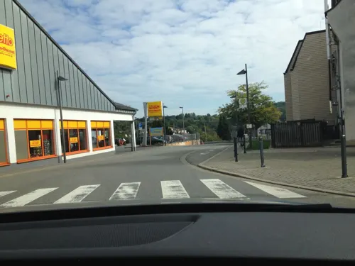
Auguste Moses
Monument and historic site · 4.2 km
Stolperstein für Auguste Moses, geb.Haas
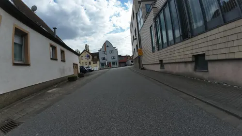

Insektenmuseum Ottweiler
Museum · 1.2 km
15 Werschweilerweg, Ottweiler
"Nach Vereinbarung"


37 more on the map.
Parks, trails and playgrounds14






2 more on the map.
Restaurants and cafes182

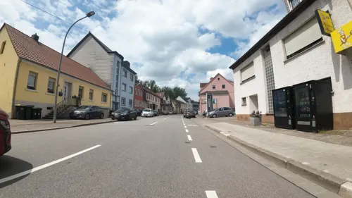
Stumm's Brauhaus
Restaurant · 6.0 km
16 Saarbrücker Straße, Neunkirchen
Mo-Th 11:30-23:00, Fr-Sa 11:30-00:00, Su 16:00-23:00
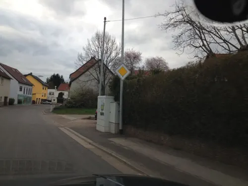
Cafe Maria
Cafe · Breakfast · 4.0 km
Mo,We,Th,Sa 08:30-12:30; Fr 08:30-12:30,15:30-20:00; Su 09:00-18:00
El Verde
Cafe · Sandwich, Coffee Shop
8 Rathausplatz, Ottweiler
Tu-Sa 10:30-13:00


170 more on the map.
Where to stay5
Churches and places of worship29
Dreifaltigkeitskirche
Church · Roman Catholic · 4.3 km
Prälat-Schütz-Straße, Neunkirchen
Ev. Kirche Wiebelskirchen
Church · 3.4 km
14 Martin-Luther-Straße, Neunkirchen
Shopping29
Gas and EV charging11
TotalEnergies Tankstelle Fürth
Gas station · 5.8 km
24 Dörrenbacher Straße, Ottweiler
Schools, colleges and libraries19
Healthcare14
Nieren- und Dialysezentrum St. Wendel
Clinic and pharmacy · 5.7 km
3 Am Hirschberg, St. Wendel
Map of Ottweiler
250 places. The map loads OpenStreetMap tiles when you open it.
Getting there and nearby towns
Saarbrücken Airport (SCN) is the nearest airport with scheduled flights listed in OpenStreetMap, 21 km away.
- Schiffweiler 4 km southwest, about 4 min by car
- Spiesen-Elversberg 10 km south, about 10 min by car
- Quierschied 13 km southwest, about 13 min by car
- Tholey 13 km northwest, about 13 min by car
- Sulzbach 14 km southwest, about 14 min by car
- Riegelsberg 20 km southwest, about 20 min by car
- Saarbrücken 22 km southwest, about 22 min by car
- Zweibrücken 23 km southeast, about 23 min by car
- Schmelz 23 km west, about 23 min by car
- Wadern 25 km northwest, about 25 min by car
Drive times are estimates from straight-line distance, not routes.
Local news
Headlines from INDB.
Reviews, tips and questions
Loading what members have shared...
Sources and licences
- GeoNames (CC BY 4.0): population, coordinates, regions and time zone
- Mapillary (see each image): photos
- OpenStreetMap contributors (ODbL 1.0): places, airports, map data
- Wikidata (CC0 1.0): elevation, founding date, time zone, website, landmarks and historic places
- Wikimedia Commons (see each image): photos
- Wikipedia (CC BY-SA 4.0): overview and history text
Photo credits
- Ottweiler Rathausplatz Alter Turm 01 2012-05-21, Fotoman2012, CC BY 3.0
- Ottweiler Widows Palace Built 1760 365, Jacquesverlaeken, CC BY-SA 4.0
- Ottweiler Widows Palace Built 1760 364, Jacquesverlaeken, CC BY-SA 4.0
- 20160416Witwenpalais Ottweiler, AnRo0002, CC0
- Bahnhof Ottweiler - panoramio, Jürgen Schneider, CC BY-SA 3.0
- 20160416Stengel Pavillon Ottweiler3, AnRo0002, CC0
- 20160416Stengel Pavillon Ottweiler2, AnRo0002, CC0
- 20160416Stengel Pavillon Ottweiler1, AnRo0002, CC0
- 20160416Wilhelm-Heinrich-Str12 Ottweiler, AnRo0002, CC0
- Ottweiler Engstrasse 11 367, Jacquesverlaeken, CC BY-SA 4.0
- Ottweiler, das Pauluseck, Dguendel, CC BY 4.0
- Ottweiler 01 2012-05-21, Fotoman2012, CC BY-SA 3.0
- Ottweiler Schlosshof 2008-05-14, Mstp77, CC0
- Ottweiler Rathausplatz Alter Turm 03 2012-05-21, Fotoman2012, CC BY 3.0
- Ottweiler Rathausplatz 01 2008-05-14, Mstp77, CC0
- Ottweiler Rathausplatz Alter Turm 02 2012-05-21, Fotoman2012, CC BY 3.0
- Ottweiler Rathausplatz 02 2008-05-14, Mstp77, CC0
- 20181014 Rathausplatz Ottweiler 02, Flocci Nivis, CC BY 4.0
- Ottweiler Altes Rathaus 2012-05-21, Fotoman2012, CC BY 3.0
- Ottweiler Brauerei. 362, Jacquesverlaeken, CC BY-SA 4.0
- 20160416Kirchstraße 3 Ottweiler1, AnRo0002, CC0
- 20160416Kirchstraße 3 Ottweiler2, AnRo0002, CC0
- Ottweiler, das Alte Rathaus, Dguendel, CC BY 4.0
- Ottweiler Schlosshof Fountain 1934 368, Jacquesverlaeken, CC BY-SA 4.0
- GymnasiumOttweiler, Unknown author, CC BY-SA 3.0
- Neunkirchen Stummsche Kapelle, Lokilech, CC BY-SA 3.0
- Wiebelskirchen Dreifaltigkeitskirche 03, atreyu, CC BY-SA 3.0
- Landsweiler-Reden Herz-Jesu-Kirche 06, atreyu, CC BY-SA 3.0
- Ottweiler Protestantische Kirche 2012-05-21, Fotoman2012, CC BY-SA 3.0
- Landsweiler-Reden, Evangelische Kirche (1), Cmcmcm1, CC BY-SA 3.0
- Evangelische. Pfarrkirche Wiebelskirchen, Gripweed, CC BY-SA 3.0
- Hangard Heilige Familie 01, atreyu, CC BY-SA 3.0
- Münchwies Herz Jesu 01, atreyu, CC BY-SA 3.0
- Hirzweiler-Welschbach St. Laurentius 02, atreyu, CC BY-SA 3.0
- Jüdischer Friedhof (Ottweiler) 2018-11-25 (01), Simon Mannweiler, CC BY-SA 4.0
- Panoramaturm Betzelhübel-2, Muck, CC BY-SA 4.0
- Bachschule, Gripweed, CC BY-SA 3.0
- 20210814 Mainzweiler Ottweiler 02, Flocci Nivis, CC BY 4.0
- OEM 4241-HDR-Bearbeitet, Oliverelm, CC BY-SA 4.0
- 20210814 Naturschutzgebiet Steinberg Oberlinxweiler Remmesweiler 09, Flocci Nivis, CC BY 4.0
- Pustkuchen Büste, Gripweed, CC BY-SA 3.0
- Neunkirchen Stummsche Reithalle, Lokilech, CC BY-SA 3.0
- Steinbach (Bei Ottweiler), Evangelische Kirche (1), Cmcmcm1, CC BY-SA 4.0
- Stennweiler, Evangelische Kirche (2), Cmcmcm1, CC BY-SA 3.0
- 20210814 Naturschutzgebiet Steinberg Oberlinxweiler Remmesweiler 10, Flocci Nivis, CC BY 4.0
- Remmesweiler, Evangelische Kirche (2), Cmcmcm1, CC BY-SA 4.0
- NeunkirchenHochbunker1, Lokilech, CC BY-SA 3.0
- Parapuzosia seppenradensis 4, -- Xocolatl 16:32, 22 April 2006 (UTC), Public domain
- Panoramaturm Betzelhübel-Aussicht, Muck, CC BY-SA 4.0
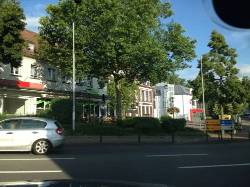
- Street-level photo, teddy73, CC BY-SA 4.0
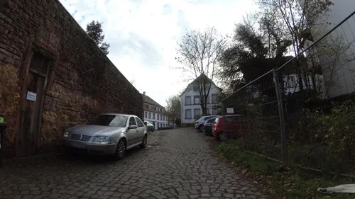
- Street-level photo, teddy73, CC BY-SA 4.0
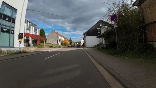
- Street-level photo, teddy73, CC BY-SA 4.0
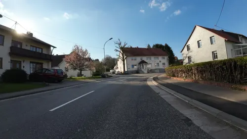
- Street-level photo, teddy73, CC BY-SA 4.0
- Street-level photo, teddy73, CC BY-SA 4.0
- Street-level photo, teddy73, CC BY-SA 4.0
- Street-level photo, teddy73, CC BY-SA 4.0
- Street-level photo, teddy73, CC BY-SA 4.0
- Street-level photo, teddy73, CC BY-SA 4.0
- Street-level photo, teddy73, CC BY-SA 4.0
- Street-level photo, teddy73, CC BY-SA 4.0
- Street-level photo, teddy73, CC BY-SA 4.0
- Street-level photo, teddy73, CC BY-SA 4.0
- Street-level photo, teddy73, CC BY-SA 4.0
- Street-level photo, teddy73, CC BY-SA 4.0
- Street-level photo, teddy73, CC BY-SA 4.0
- Street-level photo, teddy73, CC BY-SA 4.0
- Street-level photo, teddy73, CC BY-SA 4.0
- Street-level photo, teddy73, CC BY-SA 4.0
- Street-level photo, teddy73, CC BY-SA 4.0
- Street-level photo, teddy73, CC BY-SA 4.0
- Street-level photo, teddy73, CC BY-SA 4.0
- Street-level photo, teddy73, CC BY-SA 4.0
- Street-level photo, teddy73, CC BY-SA 4.0


Page built November 8, 2026. Spotted a mistake? Tell us or suggest a place.