


Why visit Mindelheim
Townapedia lists 24 museums and landmarks, 22 parks and trails, 80 places to eat, 8 places to stay and 4 attractions in and around town.
Highlights include Skyline Park, Klostergut Lohhof, Miele Museum Mindelheim and Schloss Mattsies.
Weather in Mindelheim
Forecast from MET Norway (CC BY 4.0). Full forecast
About Mindelheim
Mindelheim (German pronunciation: [ˈmɪndl̩ˌhaɪm] ; Swabian: Mindelhoi) is a town in Swabia, Bavaria, Germany. The town is the capital of the Unterallgäu district. At various points in history it was the chief settlement of an eponymous state.
From the Wikipedia article Mindelheim (this version), under CC BY-SA 4.0.
Things to do4

Skyline Park
Monument and historic site · 7.4 km
Amusement Park in Bavaria, Germany

Klostergut Lohhof
Farm and orchard · 5.1 km
Frisches Gemüse
Mo,Th, Fr 10:00-13:00, Th 15:00-17:00
Molkereiprodukte-Direktverkauf
Farm and orchard · 5.4 km
2 Gewerbestraße, Kammlach
Mo-Th 08:00-12:00,13:30-16:00; Fr 08:00-12:00; Sa,Su,PH off

Museums and landmarks24
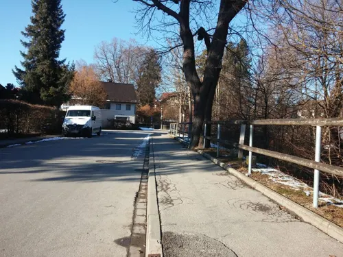
Miele Museum Mindelheim
Museum · 0.7 km
33 Georgenstraße, Mindelheim
We[1]15:00-18:00; We[3]15:00-18:00

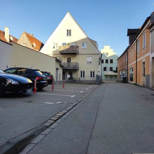


Mindelheimer Museen:Textilmuseum, Archäologiemuseum, Krippenmuseum, Carl-Millner-Galerie
Museum
4 Hermelestraße
Tu-Su,PH 10:00-12:00,14:00-17:00


12 more on the map.
Parks, trails and playgrounds22


Spielplatz Pepi-Huith-Straße
Playground · 1.0 km
Mo-Sa 08:00-21:00; Su 09:00-21:00

Standort ehem. Stephanskirche, abgetragen 1871
Park · 0.8 km
Standort ehem. Stephanskirche, abgetragen 1871

10 more on the map.
Restaurants and cafes80

Gasthaus zum Schatten
Restaurant · Regional, Burger, International · 5.0 km
15 Marktstraße, Dirlewang
Mo 17:00-23:00; Tu-We off; Th-Sa 17:00-23:00; Su 11:00-14:00,17:00-22:00
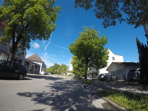
Sushi Chi
Restaurant · Asian
51 Bahnhofstraße, Mindelheim
Su-Fr 11:30-14:00; 17:00-22:00; Sa 17:00-22:00; Tu closed
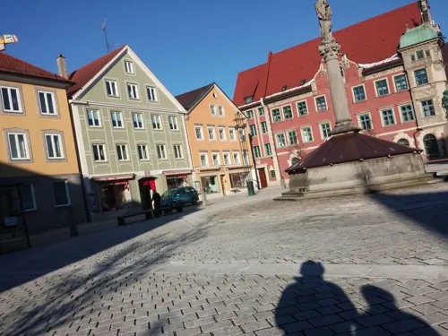



Kleines Keller Café
Cafe · 4.2 km
18 Unggenrieder Straße, Stetten
We-Th 09:00-18:00; Su 09:00-18:00; Sa 09:00-22:00
Khurram's im Reichsadler
Restaurant · Pizza, Burger, Italian, International, Steak House
2 Westernacher Straße, Mindelheim
Mo-Sa 16:00-03:00; Su, PH 11:30-02:00
Maharaja
Restaurant · Indian
3 Maximilianstraße, Mindelheim
Tu-Su 11:30-14:30, Mo-Su 15:00-23:00
68 more on the map.
History
In 1365, the Dukes of Teck-Owen came into the possession of Mindelheim but had to sell their heritage around the castle Teck to the Counts of Württemberg. The last member of that line, Louis of Teck, Patriarch of Aquileia since 1412, died in 1439.
On 18 November 1705, John Churchill, 1st Duke of Marlborough, was made Prince of Mindelheim by Emperor Joseph I. Marlborough was invested at an Imperial Diet in Innsbruck on the 24 May 1706. Mindelheim had been bought by an Elector of Bavaria in the 16th century. It was confiscated from Elector Maximilian II Emanuel in 1704 for his treachery, and effectively occupied after the Battle of Blenheim.
The Principality of Mindelheim was situated south of the Danube, 28 miles (45 km) south-west of Augsburg, and 48 miles (77 km) west of Munich. It covered an area of about 15 square miles (39 km2) and had an income of £2,000. Marlborough had to meet the cost of investiture, which was reduced to £4,500 from the usual £12–15,000. He also avoided paying the wartime imperial tax of £6,000.
From the History section of Mindelheim on Wikipedia, under CC BY-SA 4.0.
Where to stay8
Gasthof Deutsches Haus
Motel and hotel · 1.6 km
7 a Apfeltracher Straße, Mindelheim
Churches and places of worship65
St. Michael
Church · Roman Catholic · 2.7 km
3 Michaelsweg, Mindelheim
Mariä Heimsuchung
Church · Roman Catholic · 6.0 km
33 Schwabenstraße, Bad Wörishofen
Mariä Himmelfahrt
Church · Roman Catholic · 6.2 km
4 Von-Freyberg-Platz, Tussenhausen
Maria vom Berge Karmel
Church · Roman Catholic · 5.8 km
11 Kaufbeurer Straße, Dirlewang
Maria, Königin des hl. Rosenkranzes
Church · Roman Catholic · 5.6 km
1 Kirchstraße, Kammlach
Shopping27
Gas and EV charging12
Schools, colleges and libraries10
Healthcare9
Map of Mindelheim
250 places. The map loads OpenStreetMap tiles when you open it.
Getting there and nearby towns
Memmingen Airport (FMM) is the nearest airport with scheduled flights listed in OpenStreetMap, 20 km away.
- Schwabmünchen 25 km northeast, about 25 min by car
- Weißenhorn 38 km northwest, about 38 min by car
- Schongau 40 km southeast, about 40 min by car
- Vöhringen 40 km northwest, about 40 min by car
- Peiting 43 km southeast, about 43 min by car
- Stadtbergen 44 km northeast, about 44 min by car
- Augsburg 47 km northeast, about 47 min by car
- Neusäß 46 km northeast, about 46 min by car
- Bad Wurzach 47 km west, about 47 min by car
- Ulm 54 km northwest, about 54 min by car
Drive times are estimates from straight-line distance, not routes.
Local news
Headlines from INDB.
Reviews, tips and questions
Loading what members have shared...
Sources and licences
- GeoNames (CC BY 4.0): population, coordinates, regions and time zone
- Mapillary (see each image): photos
- OpenStreetMap contributors (ODbL 1.0): places, airports, map data
- Wikidata (CC0 1.0): elevation, founding date, time zone, website, landmarks and historic places
- Wikimedia Commons (see each image): photos
- Wikipedia (CC BY-SA 4.0): overview and history text
Photo credits
- Marienplatz, Mindelheim, Alemania, 2019-06-21, DD 03, Diego Delso, CC BY-SA 4.0
- Mindelheim - panoramio (5), Richard Mayer, CC BY 3.0
- GER — BY — Landkreis Unterallgäu — Mindelheim — Frundsbergstr. (Spielplatzschild) 2020, User:Mateus2019, CC BY 2.0 de
- Hungerturm in Mindelheim (3), Tournasol7, CC BY-SA 4.0
- Hungerturm in Mindelheim (2), Tournasol7, CC BY-SA 4.0
- Hungerturm in Mindelheim (1), Tournasol7, CC BY-SA 4.0
- Mindelheim, Hungerturm, 13, Renardo la vulpo, CC BY-SA 4.0
- Mindelheim - panoramio - Richard Mayer (3), Richard Mayer, CC BY 3.0
- Mindelheim, Turm St. Stephan, Südost (2017-08-01 Sp), Lothar Spurzem, CC BY-SA 2.0 de
- Mindelheim, Gasthaus Siegeshalle (2017-08-01 Sp), Lothar Spurzem, CC BY-SA 2.0 de
- Bahnhofstrasse 57 in Mindelheim (1), Tournasol7, CC BY-SA 4.0
- Mindelheim at night jm8850, user:joergens.mi, CC BY-SA 3.0
- Oberes Tor in Mindelheim (1), Tournasol7, CC BY-SA 4.0
- Oberes Tor in Mindelheim (3), Tournasol7, CC BY-SA 4.0
- Oberes Tor in Mindelheim (2), Tournasol7, CC BY-SA 4.0
- Mindelheim at night jm8835, user:joergens.mi, CC BY-SA 3.0
- Mindelheim, Friedhofskapelle, 4, Renardo la vulpo, CC0
- GER — BY — Landkreis Unterallgäu — Mindelheim — Imhofgasse (2020), User:Mateus2019, CC BY 2.0 de
- Maximilianstrasse 4-6 in Mindelheim (1), Tournasol7, CC BY 4.0
- Maximilianstrasse 7 in Mindelheim (4), Tournasol7, CC BY-SA 4.0
- Maximilianstrasse 7 in Mindelheim (2), Tournasol7, CC BY-SA 4.0
- Maximilianstrasse 7 in Mindelheim (3), Tournasol7, CC BY-SA 4.0
- Mindelheim 011, DALIBRI, CC BY-SA 4.0
- St Stephan - Mindelheim 001, DALIBRI, CC BY-SA 4.0
- Skyline Park Ueberblick, Anton Porsche, CC BY-SA 4.0
- Iglesia de la Anunciación, Mindelheim, Alemania, 2019-06-21, DD 11, Diego Delso, CC BY-SA 4.0
- Mattsies1, Richard Mayer, CC BY 3.0
- Mindelheim - Doldenhausen - Kapelle St Mauritius v SW, Flodur63, CC BY-SA 4.0
- Mattsies3, Richard Mayer, CC BY 3.0
- Mindelburg jm8965, user:joergens.mi, CC BY-SA 3.0
- Dirlewang - Helchenried, Flodur63, CC BY-SA 3.0
- Dirlewang - Mindelheimer Str - Käppele v S, Flodur63, CC BY-SA 3.0
- Memminger Str. 42 Katharinenkapelle Mindelheim-3, Rufus46, CC BY-SA 3.0
- Maximilianstr. 36 Mindelheim-1, Rufus46, CC BY-SA 3.0
- Nassenbeuren MariaSchnee S2, Flussar, CC BY-SA 4.0
- Heimenegg StWendelin aNW, Flussar, CC BY-SA 4.0
- Unterauerbach St. Michael Südostansicht, Flussar, CC BY-SA 4.0
- Mariä Heimsuchung (Dorschhausen) jm6050, user:joergens.mi, CC BY-SA 3.0
- Maria Königin des Rosenkranzes (Unterkammlach) 01, Mogadir, CC BY-SA 3.0
- Mindelheim, Johanneskirche, 6, Renardo la vulpo, CC0
- Turmuhrenmuseum in Mindelheim (1), Tournasol7, CC BY-SA 4.0
- Naturlehrgarten Mindelheim 2014 - panoramio, Stefan Wessig, CC BY 3.0
- Street-level photo, ray66, CC BY-SA 4.0
- Street-level photo, ottokar, CC BY-SA 4.0
- Street-level photo, umap, CC BY-SA 4.0
- Street-level photo, umap, CC BY-SA 4.0
- Street-level photo, ottokar, CC BY-SA 4.0
- Street-level photo, ray66, CC BY-SA 4.0
- Street-level photo, umap, CC BY-SA 4.0
- Street-level photo, umap, CC BY-SA 4.0
- Street-level photo, ente, CC BY-SA 4.0
- Street-level photo, msdess, CC BY-SA 4.0
- Street-level photo, ray66, CC BY-SA 4.0


Page built November 8, 2026. Spotted a mistake? Tell us or suggest a place.