


Why visit Weißenhorn
Townapedia lists 31 museums and landmarks, 14 parks and trails, 71 places to eat, 8 places to stay and 7 attractions in and around town.
Highlights include Historisches Stadttheater Weißenhorn, Mühlenladen Engelhardmühle, Schloss Roggenburg and Steinkreuze.
Weather in Weißenhorn
Forecast from MET Norway (CC BY 4.0). Full forecast
About Weißenhorn
Weißenhorn (German pronunciation: [ˈvaɪsn̩ˌhɔʁn] ) is a town in the district of Neu-Ulm in Bavaria. Weißenhorn is located about 22 km southeast of Ulm.
From the Wikipedia article Weißenhorn (this version), under CC BY-SA 4.0.
Things to do7
Historisches Stadttheater Weißenhorn
Cinema and theater
Theatre in Weißenhorn, Bavaria, Germany




Museums and landmarks31

Schloss Roggenburg
Monument and historic site · 6.2 km
2 Hauptstraße, Roggenburg





Prämonstratenserkloster Roggenburg
Monument and historic site · Roman Catholic · 6.0 km
19 more on the map.
Parks, trails and playgrounds14




2 more on the map.
Restaurants and cafes71
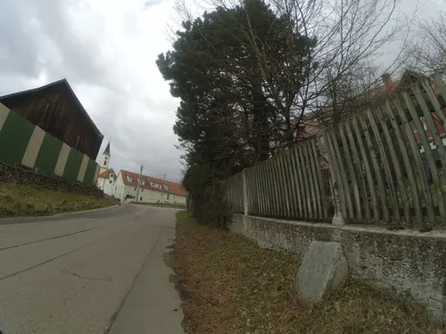
Gasthof zur goldenen Traube
Restaurant · Regional · 4.3 km
2 Dahlienstraße, Senden
Mo,Tu,Fr,Sa 17:00-24:00; PH,Su 08:00-24:00
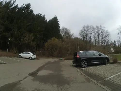
Gaststätte Sportheim
Restaurant · German, Greek, Italian · 4.8 km
Vereins-Sportheim des SSV Illerberg/Thal 1948 e.V.
19 Sandbergweg, Vöhringen
Mo off; Tu-Fr 16:00-24:00; Sa 11:00-24:00; Su 10:00-24:00

Restaurant & Cafe Habis
Restaurant · German, Regional, Coffee Shop
Restaurant und Cafe mit eigener Konditorei und bis zu 90 Plätzen. Großes Angebot an regionalen Speisen. Neben Rostbraten, Schnitzel und...
2 Memminger Straße, Weißenhorn
Mo-We 11:00-22:00; Th 11:00-18:00; Sa-Su 11:00-18:00
Bella Italia
Restaurant · Italian
20 Kaiser-Karl-Straße, Weißenhorn
We-Fr,Su,Mo 11:00-14:00,17:00-22:00; Sa 17:00-22:00; Tu off
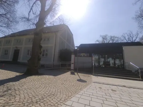
Hotel Gasthof zum Löwen
Restaurant · German
5 Martin-Kuen-Straße, Weißenhorn
Mo-Fr 11:30-14:00, 17:00-24:00; Sa 11:30-14:00, 17:30-24:00
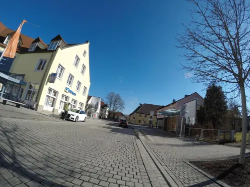
Römertaverne
Restaurant · German · 5.5 km
1 Römerweg, Pfaffenhofen an der Roth
Mo-Tu off; We-Th 17:00-22:30; Fr-Sa 17:00-24:00; Su 11:00-14:00,17:00-22:00



Café Promenade
Cafe
10 Östliche Promenade, Weißenhorn
Mo-Fr 11:00-01:00, Sa 16:00-01:00, Su 16:00-23:00

PEPITO Cafe Bistro Cocktailbar
Bar and pub · 0.6 km
33 Günzburger Straße, Weißenhorn
Nov 01-Apr 30 Mo-Su 18:00-23:00
59 more on the map.
History
Archaeologic finds prove that the area of Weißenhorn was once a settlement of the Alamanni. Also Roman artifacts and artifacts from the Stone Age have been found.
Weißenhorn was first mentioned in 1160 as villa Wizzenhorn. Starting from the thirteenth century Weißenhorn was seat of a line from the aristocratic house of the Neuffen. When it expired in 1342, Weißenhorn came into possession of the dukes of Bavaria, which had pawned Weißenhorn during the most time. 1473 Louis IX of Bavaria held court in Weißenhorn. During the Landshut War of Succession Weißenhorn came into possession of Holy Roman Emperor Maximilian I and became a provincial city of Further Austria. Maximilian transferred the possession to Jacob Fugger in 1507, due to Weißenhorns delivered and reconfirmed privileges the sovereignty rights however remained with Austria. The Fugger family, which held rule over centuries, promoted the local fustian weaving mill and made Weißenhorn into a flourishing commercial town. Besides Augsburg Weißenhorn is the only town which is officially allowed to carry the title of "Fuggerstadt" (Fugger town).
In the German Peasants' War the town was attacked at 1 April 1525 by 12,000 farmers, led by their Captain Jörg von Ingstetten ("Bauern-Jörgl"), which spared the town after successful defense of the citizen and attacked the neighbouring Roggenburg Abbey.
From the History section of Weißenhorn on Wikipedia, under CC BY-SA 4.0.
Where to stay8
Churches and places of worship50
Marienfried
Church · Catholic · 5.3 km
62 Marienfriedstraße, Pfaffenhofen an der Roth
Kapelle St. Antonius
Church · Roman Catholic · 6.3 km
2 St.-Antonius-Weg, Roggenburg
Pfarrkirche St. Martin
Church · Roman Catholic · 5.5 km
7 Kirchplatz, Pfaffenhofen an der Roth
St. Alban
Church · Roman Catholic · 4.6 km
53 Von Katzbeck-Straße, Weißenhorn
St. Dominikus
Church · Roman Catholic · 5.1 km
18 Niederhausener Straße, Pfaffenhofen an der Roth
Shopping24
Gas and EV charging8
Schools, colleges and libraries11
Grundschule Süd & Montessori-Kinderhaus
School
24 / 26 Reichenbacher Straße, Weißenhorn
Healthcare6
Map of Weißenhorn
230 places. The map loads OpenStreetMap tiles when you open it.
Getting there and nearby towns
Memmingen Airport (FMM) is the nearest airport with scheduled flights listed in OpenStreetMap, 36 km away.
- Ulm 16 km northwest, about 16 min by car
- Erbach 20 km west, about 20 min by car
- Langenau 21 km north, about 21 min by car
- Laupheim 23 km west, about 23 min by car
- Blaubeuren 30 km northwest, about 30 min by car
- Ehingen 32 km west, about 32 min by car
- Biberach an der Riß 36 km southwest, about 36 min by car
- Giengen an der Brenz 36 km north, about 36 min by car
- Herbrechtingen 35 km north, about 35 min by car
- Gerstetten 37 km north, about 37 min by car
Drive times are estimates from straight-line distance, not routes.
Local news
Headlines from INDB.
Reviews, tips and questions
Loading what members have shared...
Sources and licences
- GeoNames (CC BY 4.0): population, coordinates, regions and time zone
- Mapillary (see each image): photos
- OpenStreetMap contributors (ODbL 1.0): places, airports, map data
- Wikidata (CC0 1.0): elevation, founding date, time zone, website, landmarks and historic places
- Wikimedia Commons (see each image): photos
- Wikipedia (CC BY-SA 4.0): overview and history text
Photo credits
- Weißenhorn - Hauptplatz, Michael Vogt, CC BY-SA 3.0
- Weissenhorn Stadttheater Hofseite, Photo: Andreas Praefcke, CC BY 3.0
- Pfaffenhofen a d Roth - Marienfried - Wallfahrtskirche v NW, Flodur63, CC BY-SA 4.0
- Pfaffenhofen an der Roth, Katholische Pfarrkirche St. Martin, 006, Tilman2007, CC BY-SA 3.0
- St. Ulrich Diepertshofen, Michael Vogt, CC BY 3.0
- Katholische Kirche St. Dominikus (Niederhausen) 03, Looniverse, CC BY-SA 4.0
- Unteregg StAntonius aSW, Flussar, CC BY-SA 4.0
- Marienkapelle Illerberg, Michael Vogt, CC BY-SA 3.0
- Weißenhorn, Friedhofskirche St. Bartholomäus-001, Tilman2007, CC BY-SA 3.0
- Weissenhorn Heilig-Geist-Kirche, Photo: Andreas Praefcke, CC BY 3.0
- Steinkreuze Kaiser-Karl-Straße (Weißenhorn) 04, Looniverse, CC BY-SA 4.0
- Feldkapelle Hardergasse (Biberachzell) 05, Looniverse, CC BY-SA 4.0
- 124 Kapelle Biberachzell, Umbeebmu, CC BY-SA 4.0
- Steinkreuze Hegelhofen 01, Looniverse, CC BY-SA 4.0
- Weißenhorn, Oberhausen, Von-Katzbeck-Straße 53, 002, Tilman2007, CC BY-SA 3.0
- Katholische Kirche St. Dominikus (Niederhausen) 08, Looniverse, CC BY-SA 4.0
- Schl.Rogg, Manfi.B., CC BY-SA 4.0
- St. Ulrich Diepertshofen 01, Looniverse, CC BY-SA 4.0
- Historisches Stadttheater Weißenhorn, 5R-MFT, CC BY-SA 4.0
- Street-level photo, ray66, CC BY-SA 4.0
- Street-level photo, ray66, CC BY-SA 4.0
- Street-level photo, ray66, CC BY-SA 4.0
- Street-level photo, ray66, CC BY-SA 4.0
- Street-level photo, looniverse, CC BY-SA 4.0
- Street-level photo, looniverse, CC BY-SA 4.0
- Street-level photo, changchun1, CC BY-SA 4.0
- Street-level photo, looniverse, CC BY-SA 4.0
- Street-level photo, ray66, CC BY-SA 4.0
- Street-level photo, ray66, CC BY-SA 4.0
- Street-level photo, silanea, CC BY-SA 4.0
- Street-level photo, soulcover, CC BY-SA 4.0
- Street-level photo, soulcover, CC BY-SA 4.0
- Street-level photo, Krumapper, CC BY-SA 4.0
- Street-level photo, ray66, CC BY-SA 4.0
- Street-level photo, dsmm, CC BY-SA 4.0
- Street-level photo, looniverse, CC BY-SA 4.0
- Street-level photo, msdess, CC BY-SA 4.0
- Street-level photo, looniverse, CC BY-SA 4.0
- Street-level photo, ray66, CC BY-SA 4.0
- Street-level photo, derzornigemarkus, CC BY-SA 4.0
- Street-level photo, maturion, CC BY-SA 4.0


Page built November 8, 2026. Spotted a mistake? Tell us or suggest a place.