


Why visit Vöhringen
Townapedia lists 45 museums and landmarks, 25 parks and trails, 59 places to eat, 4 places to stay and 6 attractions in and around town.
Highlights include Historisches Stadttheater Weißenhorn, Hangelberg, Wilhelm Eckstein and Adalbert Eckstein.
Weather in Vöhringen
Forecast from MET Norway (CC BY 4.0). Full forecast
About Vöhringen
Vöhringen (German pronunciation: [ˈføːʁɪŋən] ; Swabian: Vehrenge) is a town in the district of Neu-Ulm in Bavaria, Germany. It is located on the Iller, approximately 18 km south of Ulm and 40 km north of Memmingen. It is in the Donau-Iller Region in Central Swabia (part of Upper Swabia).
From the Wikipedia article Vöhringen, Bavaria (this version), under CC BY-SA 4.0.
Things to do6

Historisches Stadttheater Weißenhorn
Cinema and theater · 6.2 km
Theatre in Weißenhorn, Bavaria, Germany


Kartoffelboutique
Farm and orchard · 4.3 km
5 Ferdinand-Lassalle-Weg, Senden
Fr 14:00-18:00; Sa 09:00-12:00

Museums and landmarks45


33 more on the map.
Parks, trails and playgrounds25





13 more on the map.
Restaurants and cafes59
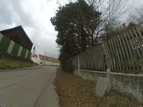
Gasthof zur goldenen Traube
Restaurant · Regional · 4.4 km
2 Dahlienstraße, Senden
Mo,Tu,Fr,Sa 17:00-24:00; PH,Su 08:00-24:00
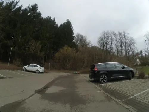
Gaststätte Sportheim
Restaurant · German, Greek, Italian · 1.9 km
Vereins-Sportheim des SSV Illerberg/Thal 1948 e.V.
19 Sandbergweg, Vöhringen
Mo off; Tu-Fr 16:00-24:00; Sa 11:00-24:00; Su 10:00-24:00
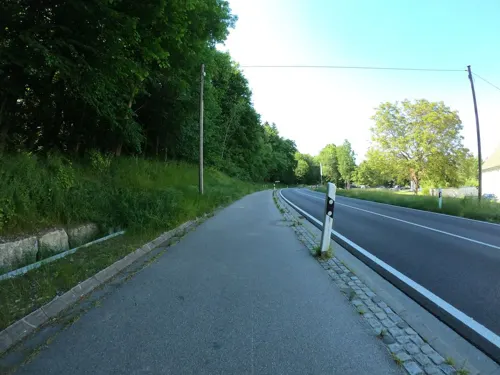
Restaurant Grüezi
Restaurant · International · 3.4 km
Restaurant & Event Location
1, Illerrieden
Mar-Oct 10:00-23:00
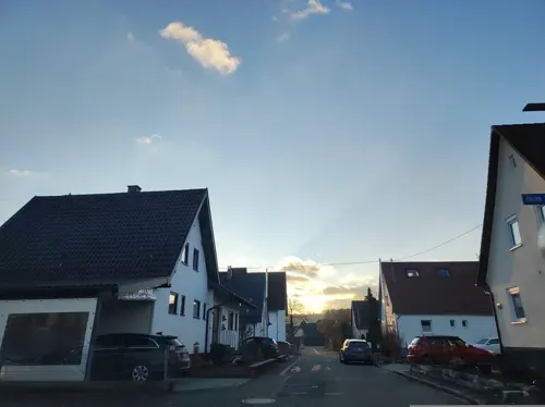
Countdown Pizza Service
Restaurant · Pizza, Indian, Salad, Pasta, Chinese, Burger, Wings, Fries · 2.1 km
72 Vöhringer Straße, Illerrieden
Mo-Sa 16:00-01:00, Su,PH 12:00-23:45
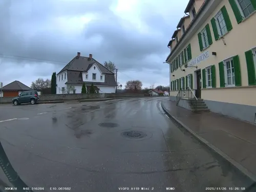
Landgasthof Krone "Schierhuber"
Restaurant · German · 4.3 km
27 Römerstraße
Th-Sa 17:30-22:00; Su 11:30-14:00,17:30-22:00

Bottega Italiana
Cafe · Italian · 2.5 km
Mo-Fr 08:00-13:30,14:30-18:30; Sa 08:00-18:30; Su 09:00-16:00
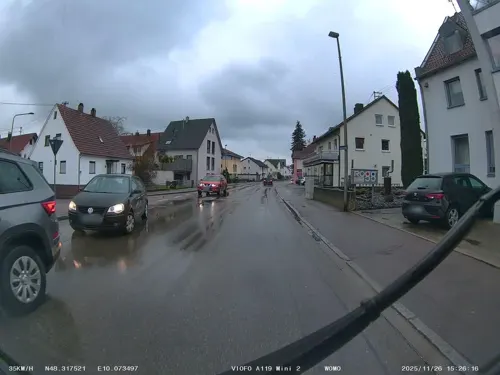
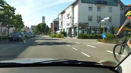
Da Peppe Bellenberg
Restaurant · Italian · 2.5 km
2 Ulmer Straße, Bellenberg
We-Sa,PH 17:00-23:00; Su 11:00-14:00,17:00-23:00
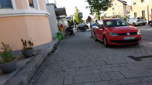
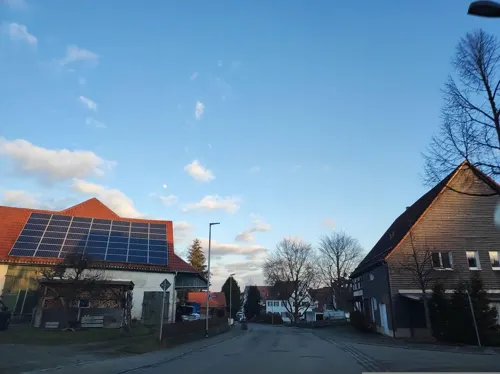
Pizzeria Schlössle
Restaurant · Pizza · 2.9 km
2 Berggasse, Illerrieden
Tu 17:00-22:00; We-Su 11:00-14:00,17:00-22:00; Mo off
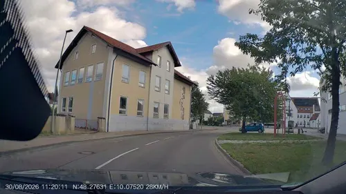


Restaurant Colosseum
Restaurant · Asian, Italian
2 Hettstedter Platz, Vöhringen
Tu-Sa 11:30-14:00,17:00-22:30; Su 11:00-14:00,17:00-22:00

Taormina
Restaurant · Italian, Pizza, Pasta
16 Ulmer Straße, Vöhringen
Mo-Su 11:30-14:00, 17:30-23:00; We off
47 more on the map.
History
The settlement of Vöhringen may have developed by the 5th or 6th century, when the Alamanni migrating from the Danube settled the Swabian river valleys. Veringen, as it is called in several 12th-century documents, underwent several changes of overlordship in the 15th century and finally became Bavarian in 1756 under Elector Max Joseph of Bavaria, earlier than the neighbouring settlements.
Vöhringen was decisively changed by industrialisation beginning in 1864, when factory owner Philipp Jakob Wieland bought the local mill, its attached workshop and the water power to run them. Wieland Group is now known worldwide and an important presence in the town.
Vöhringen became a town on 25 June 1977. At that time it already included the settlements of Illerberg, Illerzell and Thal.
From the History section of Vöhringen, Bavaria on Wikipedia, under CC BY-SA 4.0.
Where to stay4
Churches and places of worship27
Mariä Verkündigung
Church · Roman Catholic · 4.2 km
1 Heerstraße, Senden
Marienkirche
Church · Roman Catholic · 0.6 km
12 Illerstraße, Vöhringen
St. Martin
Church · Roman Catholic · 2.0 km
23 Obere Hauptstraße, Vöhringen
Zur Heiligsten Dreifaltigkeit
Church · Catholic · 4.4 km
18 Erzabt-Brechter-Straße, Illerrieden
Shopping15
Gas and EV charging5
Schools, colleges and libraries15
Healthcare5
Map of Vöhringen
206 places. The map loads OpenStreetMap tiles when you open it.
Getting there and nearby towns
Memmingen Airport (FMM) is the nearest airport with scheduled flights listed in OpenStreetMap, 34 km away.
- Weißenhorn 6 km northeast, about 6 min by car
- Ulm 15 km northwest, about 15 min by car
- Erbach 15 km west, about 15 min by car
- Laupheim 16 km west, about 16 min by car
- Langenau 24 km north, about 24 min by car
- Ehingen 26 km west, about 26 min by car
- Blaubeuren 27 km northwest, about 27 min by car
- Biberach an der Riß 30 km southwest, about 30 min by car
- Laichingen 38 km northwest, about 38 min by car
- Gerstetten 39 km north, about 39 min by car
Drive times are estimates from straight-line distance, not routes.
Local news
Headlines from INDB.
Reviews, tips and questions
Loading what members have shared...
Sources and licences
- GeoNames (CC BY 4.0): population, coordinates, regions and time zone
- Mapillary (see each image): photos
- OpenStreetMap contributors (ODbL 1.0): places, airports, map data
- Wikidata (CC0 1.0): elevation, founding date, time zone, website, landmarks and historic places
- Wikimedia Commons (see each image): photos
- Wikipedia (CC BY-SA 4.0): overview and history text
Photo credits
- Vöhringen - Illerberg 02, Franzfoto, CC BY-SA 3.0
- Vöhringen St.Michael Chorraum - panoramio, Mayer Richard, CC BY 3.0
- Vöhringen - panoramio, Mayer Richard, CC BY 3.0
- Vöhringen Turmuhr - panoramio, Mayer Richard, CC BY 3.0
- Richtfunkturm UW Vöhringen - panoramio, Mayer Richard, CC BY 3.0
- Sperlingweg (Vöhringen) IMAG9529, Trop86, CC0
- Weissenhorn Stadttheater Hofseite, Photo: Andreas Praefcke, CC BY 3.0
- St. Peter und Paul Bellenberg retouched, Unterillertaler, CC BY-SA 3.0
- St.Agatha in Illerrieden, Unterillertaler, CC BY-SA 3.0
- Witzighausen Mariae Geburt, MikeAtari, CC BY-SA 3.0
- Katholische Pfarrkirche Mariä Himmelfahrt in Au bei Illertissen, Roland Puskaric, CC BY-SA 4.0
- Senden, Wullenstetten, Kath. Pfarrkirche Mariä Verkündigung, 002, Tilman2007, CC BY-SA 3.0
- MarienkircheVöhringen2, Thomas Mirtsch, CC BY-SA 3.0
- Vöhringen Martin-Luther-Kirche 002, Tilman2007, CC BY 3.0
- Marienkapelle Illerberg, Michael Vogt, CC BY-SA 3.0
- St. Martin Illerberg, Michael Vogt, CC BY-SA 3.0
- Stolperstein für Richard Eckstein 1896-1942, Maimaid, CC BY-SA 4.0
- Wendelinuskapelle 1990, Unterillertaler, CC BY-SA 3.0
- Kirche zur Hl.Dreifaltigkeit in Dorndorf, Unterillertaler, CC BY-SA 3.0
- Stolperstein für Wilhelm Eckstein 1927-1944, Maimaid, CC BY-SA 4.0
- Stolperstein für Adalbert Eckstein 1924-1944, Maimaid, CC BY-SA 4.0
- Stolperstein für Anna Eckstein 1927-1943, Maimaid, CC BY-SA 4.0
- Stolperstein für Elisabeth Eckstein 1904-1943, Maimaid, CC BY-SA 4.0
- Stolperstein für Friederike Eckstein 1897-1943, Maimaid, CC BY-SA 4.0
- Stolperstein für Friedrich Eckstein 1930-1943, Maimaid, CC BY-SA 4.0
- Stolperstein für Gertrud Eckstein 1937-1943, Maimaid, CC BY-SA 4.0
- Stolperstein für Johannes Eckstein 1892-1943, Maimaid, CC BY-SA 4.0
- Stolperstein für Karl Egon Eckstein 1932-1943, Maimaid, CC BY-SA 4.0
- Stolperstein für Kurt Eckstein 1925-1943, Maimaid, CC BY-SA 4.0
- Stolperstein für Margarethe Eckstein 1939-1944, Maimaid, CC BY-SA 4.0
- Stolperstein für Maria Eckstein 1935-1943, Maimaid, CC BY-SA 4.0
- Stolpersteine Vöhringen Familie Eckstein, Laser-Ulm, CC BY-SA 4.0
- Fey Geburtshaus, Csar-cro, CC BY-SA 3.0
- Durchlass in der Zwiebelhaube - panoramio, Mayer Richard, CC BY 3.0
- Rathaus - panoramio - Mayer Richard (1), Mayer Richard, CC BY 3.0
- St.Michael - panoramio - Mayer Richard (1), Mayer Richard, CC BY 3.0
- Zur Michaelskirche - panoramio, Mayer Richard, CC BY 3.0
- Passage zwischen St.Michael und Kulturzentrum - panoramio, Mayer Richard, CC BY 3.0
- St.Michael - panoramio - Mayer Richard (2), Mayer Richard, CC BY 3.0
- St.Michael Westseite - panoramio, Mayer Richard, CC BY 3.0
- Kulturzentrum - panoramio, Mayer Richard, CC BY 3.0
- Street-level photo, ray66, CC BY-SA 4.0
- Street-level photo, tst, CC BY-SA 4.0
- Street-level photo, ray66, CC BY-SA 4.0
- Street-level photo, msdess, CC BY-SA 4.0
- Street-level photo, soulcover, CC BY-SA 4.0
- Street-level photo, umap, CC BY-SA 4.0
- Street-level photo, AR88, CC BY-SA 4.0
- Street-level photo, umap, CC BY-SA 4.0
- Street-level photo, msdess, CC BY-SA 4.0
- Street-level photo, soulcover, CC BY-SA 4.0
- Street-level photo, msdess, CC BY-SA 4.0
- Street-level photo, msdess, CC BY-SA 4.0
- Street-level photo, umap, CC BY-SA 4.0
- Street-level photo, mfa, CC BY-SA 4.0
- Street-level photo, msdess, CC BY-SA 4.0
- Street-level photo, umap, CC BY-SA 4.0
- Street-level photo, dapiang, CC BY-SA 4.0
- Street-level photo, ray66, CC BY-SA 4.0
- Street-level photo, changchun1, CC BY-SA 4.0
- Street-level photo, msdess, CC BY-SA 4.0
- Street-level photo, msdess, CC BY-SA 4.0
- Street-level photo, msdess, CC BY-SA 4.0


Page built November 8, 2026. Spotted a mistake? Tell us or suggest a place.