


Why visit Molbergen
Townapedia lists 59 museums and landmarks, 69 parks and trails, 112 places to eat, 21 places to stay and 9 attractions in and around town.
Highlights include Biohof Högemann, CineCenter Cloppenburg, Burg Cloppenburg and Cloppenburg Museum Village.
Weather in Molbergen
Forecast from MET Norway (CC BY 4.0). Full forecast
About Molbergen
Molbergen (German pronunciation: [ˈmɔlbɛʁɡn̩]; Low German: Molbern) is a municipality in the district of Cloppenburg, in Lower Saxony, Germany, approximately 8 km (5 mi) west of Cloppenburg.
From the Wikipedia article Molbergen (this version), under CC BY-SA 4.0.
Things to do9

Biohof Högemann
Farm and orchard · 3.6 km
14 Dorfstraße, Molbergen
09:00-18:00

Bahlmann Spargelkulturen
Farm and orchard · 0.9 km
39 Peheimer Straße, Molbergen
Mo-Fr 09:00-12:00, 16:00-19:00; Sa 09:00-12:00, 16:00-17:00; Su,PH...

Lütge Schapp
Farm and orchard · 6.3 km
Direktvermarktung (Fruchtaufstrich, Kompott, eingekochtes Gemüse, Frischgemüse, Obst), Nordische Sachen / Holzkunst
50 Huntestraße, Cloppenburg
Das Moot wächst
Scenic view · 3.7 km
Freistehender Rahmen für Fotos und Selfi-Point
Mach dir ein Bild vom Moor
Scenic view · 3.7 km
Freistehender Rahmen für Fotos und Selfi-Point
Museums and landmarks59


Cloppenburg Museum Village
Museum · 8.5 km
Open-air-museum in Cloppenburg, Lower Saxony, Germany (1934-)


Dwerschsonderling
Monument and historic site · 7.2 km
Um 20 m nach Norden umgesetztes Großsteingrab


Großsteingrab auf dem Sonderling
Monument and historic site · 7.2 km


47 more on the map.
Parks, trails and playgrounds69

Molli Bär Spielpark
Sports field and stadium · 0.8 km
2 Industriering, Molbergen
Tu-Fr 15:00-19:00; Mo off; Sa,Su,PH 10:00-19:00; Dec 24,Dec 25 off

Soestebad Cloppenburg
Sports field and stadium · 8.3 km
28 Hagenstraße, Cloppenburg
Mo 15:00-20:00; Tu 06:30-08:00,15:00-21:00; We 15:00-21:00; Th...



57 more on the map.
Restaurants and cafes112
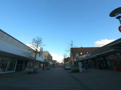
Aladin
Restaurant · Turkish · 8.1 km
8-12 Bahnhofstraße, Cloppenburg
Mo-Tu,Th-Sa 11:00-22:00; We off; Su 12:00-22:00

Bernay's
Bar and pub · 8.0 km
Café; bar; pub; liveclub
20 - 22 Mühlenstraße, Cloppenburg
Mo-Fr 11:00-18:00+; Sa 10:00-18:00+; Su 14:00-18:00+
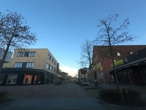
Franzmann
Restaurant · Sandwich · 8.1 km
8-12 Bahnhofstraße, Cloppenburg
Tu-Sa 10:00-22:00; Su 12:00-21:00; Mo off

Imbiss Meyer
Restaurant · German · 7.7 km
26 Löninger Straße, Cloppenburg
Tu-Sa 11:00-21:00; Su,PH 16:00-21:00; Mo off
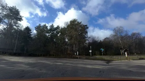
La Bella Restaurant & Hotel
Restaurant · German · 6.7 km
4 Drei-Brücken-Weg, Garrel
Restaurant: Mo - Sa 17:00 - 24:00, Su 12:00 - 22:00; Kiosk:...
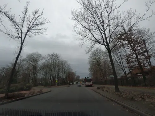
La Trattoria da Carmelo
Restaurant · Italian
19 Peheimer Straße, Molbergen
Mo-Tu off; We-Su 17:00-22:00
Pizzeria Da Capo
Restaurant · Pizza · 8.0 km
20-22 Mühlenstraße, Cloppenburg
Mo,We-Sa 12:00-22:00; Su 15:00-22:00; Tu off
Restaurant & Bauern CAFE Döpke
Restaurant · Regional · 6.7 km
1 Friesoyther Straße, Garrel
Mo off; Tu,We 09:00+; Th-Su,PH 09:00+
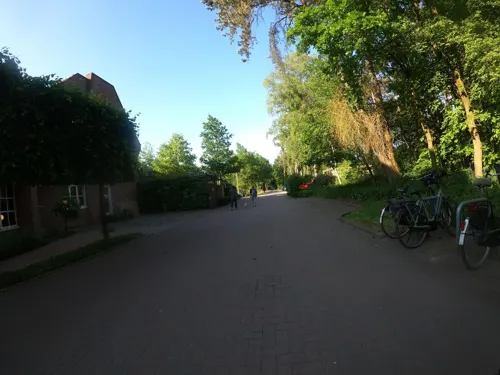
Restaurant Calluna im Hotel Heidegrund
Restaurant · Regional · 6.3 km
10 Drei-Brücken-Weg, Garrel
12:00-21:00
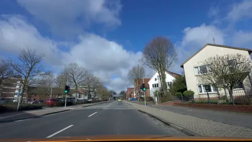


Saisonal
Restaurant · 7.8 km
So können wir traditionelle Hausmannskost, aber auch außergewöhnliche Speisen Ihnen zu einem fairen Preis servieren.
1-3 Auf dem Hook, Cloppenburg
Mo-Sa 17:30-22:00; Su 11:30-14:30; We off
100 more on the map.
Where to stay21
Churches and places of worship18
Evangelisch-lutherische Kirche
Church · Protestant · 7.7 km
11 Ritterstraße, Cloppenburg
Shopping35
Gas and EV charging21
Schools, colleges and libraries22
Healthcare14
Ambulantes Dialysezentrum - St. Josefs-Hospital Cloppenburg
Clinic and pharmacy · 7.6 km
Map of Molbergen
250 places. The map loads OpenStreetMap tiles when you open it.
Getting there and nearby towns
Flugplatz Varrelbusch (VAC) is the nearest airport with scheduled flights listed in OpenStreetMap, 10 km away.
- Cloppenburg 8 km east, about 8 min by car
- Garrel 13 km northeast, about 13 min by car
- Emstek 16 km east, about 16 min by car
- Werlte 17 km west, about 17 min by car
- Löningen 18 km southwest, about 18 min by car
- Friesoythe 19 km north, about 19 min by car
- Quakenbrück 21 km south, about 21 min by car
- Großenkneten 24 km northeast, about 24 min by car
- Dinklage 26 km southeast, about 26 min by car
- Visbek 26 km east, about 26 min by car
Drive times are estimates from straight-line distance, not routes.
Local news
Headlines from INDB.
Reviews, tips and questions
Loading what members have shared...
Sources and licences
- GeoNames (CC BY 4.0): population, coordinates, regions and time zone
- Mapillary (see each image): photos
- OpenStreetMap contributors (ODbL 1.0): places, airports, map data
- Wikidata (CC0 1.0): elevation, founding date, time zone, website, landmarks and historic places
- Wikimedia Commons (see each image): photos
- Wikipedia (CC BY-SA 4.0): overview and history text
Photo credits
- Bäker-Mühle, Marcel Niemann, CC BY-SA 4.0
- Gewerbegebiet Molbergen, Marcel Niemann, CC BY-SA 4.0
- Cloppenburg Museumsdorf Arkenstede, Corradox, CC BY-SA 3.0
- Cloppenburg castle, Carsten Niehaus ( Lumbar ), CC BY-SA 1.0
- Auf dem Sonderling, Megalithfan, CC BY-SA 4.0
- Molberger Dose (NSG WE 192) Vernässungsgebiet 05, Stammerjan, CC BY-SA 4.0
- Thülsfelder Talsperre Westufer, Corradox, CC BY-SA 3.0
- Dwerschsonderling, Megalithfan, CC BY-SA 4.0
- Kath. Pfarrkirche Lastrup, Philipp Jakob, CC BY-SA 4.0
- Saint Joseph church in Cloppenburg (1), Krzysztof Golik, CC BY-SA 4.0
- Stapelfeld Heilig-Kreuz-Kirche, Corradox, CC BY-SA 4.0
- Stolperstein Cloppenburg Garreler Weg 12 Günther Frank, Gmbo 2013, CC0
- Stolperstein Cloppenburg Auf dem Hook 2 Hannelore Sotoloff, Gmbo 2013, CC0
- Stolperstein Cloppenburg Auf dem Hook 2 Hans Willner, Gmbo 2013, CC0
- Stolperstein Cloppenburg Auf dem Hook 2 Selma Willner, Gmbo 2013, CC0
- Molberger Dose (NSG WE 192) Wollgras 01, Stammerjan, CC BY-SA 4.0
- Bäker Mühle, Marcel Niemann, CC BY-SA 4.0
- Mehrgenerationenpark, Marcel Niemann, CC BY-SA 4.0
- Street-level photo, hendel, CC BY-SA 4.0
- Street-level photo, camdrive2000, CC BY-SA 4.0
- Street-level photo, jmsbert, CC BY-SA 4.0
- Street-level photo, camdrive2000, CC BY-SA 4.0
- Street-level photo, jmsbert, CC BY-SA 4.0
- Street-level photo, VIA_KK, CC BY-SA 4.0
- Street-level photo, VIA_KK, CC BY-SA 4.0
- Street-level photo, moenk, CC BY-SA 4.0
- Street-level photo, lumbar, CC BY-SA 4.0
- Street-level photo, jmsbert, CC BY-SA 4.0
- Street-level photo, moenk, CC BY-SA 4.0
- Street-level photo, jmsbert, CC BY-SA 4.0
- Street-level photo, jmsbert, CC BY-SA 4.0
- Street-level photo, jmsbert, CC BY-SA 4.0
- Street-level photo, jmsbert, CC BY-SA 4.0
- Street-level photo, camdrive2000, CC BY-SA 4.0
- Street-level photo, camdrive2000, CC BY-SA 4.0
- Street-level photo, jmsbert, CC BY-SA 4.0
- Street-level photo, lumbar, CC BY-SA 4.0
- Street-level photo, moenk, CC BY-SA 4.0


Page built November 9, 2026. Spotted a mistake? Tell us or suggest a place.