


Why visit Münchberg
Townapedia lists 16 museums and landmarks, 21 parks and trails, 76 places to eat, 7 places to stay and 16 attractions in and around town.
Highlights include Hofliebe Eismanufaktur, Bauernhof Findeiss - Milchtankstelle, Oberfränkisches Bauernhofmuseum and Waldsteinburg.
Weather in Münchberg
Forecast from MET Norway (CC BY 4.0). Full forecast
About Münchberg
Münchberg (German pronunciation: [ˈmʏnçˌbɛʁk] ) is a small town in the Hof district of the Upper Franconia (Oberfranken) region of Bavaria, Germany.
From the Wikipedia article Münchberg (this version), under CC BY-SA 4.0.
Things to do16


4 more on the map.
Museums and landmarks16

Oberfränkisches Bauernhofmuseum
Museum · 3.7 km
May-Sep: Tu-Fr 10:00-16:00; Sa,Su 10:00-17:00; Feb-Apr,Oct01-Nov...

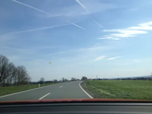




Geopark Münchberg
Monument and historic site · 0.8 km
Informationen über Aufbau und die Gesteinsvorkommen der Münchberger Gneismasse und der Gebirgszüge in der Gegend.
4 more on the map.
Parks, trails and playgrounds21



9 more on the map.
Restaurants and cafes76


Brauerei Hopfenhäusla
Restaurant · Regional, German · 1.2 km
Brauereigasstätte; Wir brauen Bernstein, Helles und Hefeweizen.
22 Schützenstraße, Münchberg
Th,Fr 17:30-23:00

Bauernhof-Café zur Geigersmühle
Cafe · Regional, Cake · 4.5 km
2 Geigersmühle, Helmbrechts
Sa-Su 14:00+; PH off
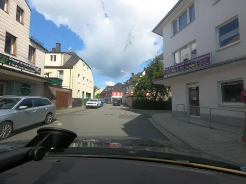
Bäckerei Fickenscher
Cafe
16 Luitpoldstraße, Münchberg
Mo-Fr 05:30-18:00; Sa 05:30-13:00; Su 07:30-11:00
Dynamite Bärlas
Restaurant · Burger, Steak, Hot Stone · 5.6 km
9 Bärlas, Weißdorf
Th 19:00-22:00; Fr-Sa 18:00-22:00; Su 11:00-15:00
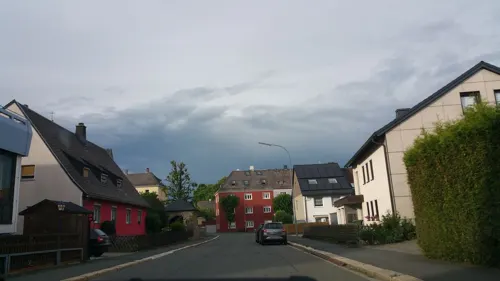
Ristorante Pizzeria Ackerklause
Restaurant · Italian · 6.9 km
7 Ackerstraße, Helmbrechts
Tu-Su 17:00-23:00
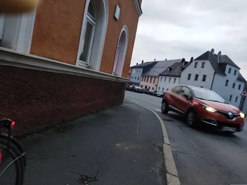

Pizzeria Da Patrizia
Restaurant · Pizza, Italian, Salad · 1.3 km
Mo,Tu 08:30-12:00,13:00-16:00; We 08:30-12:00; Th...


64 more on the map.
History
The first settlement of the area around Münchberg probably dates back to the 10th century. The origin of the name “Münchberg” is still a matter of debate. Some believe that the name derived from monks who were said to have lived in the town. That is why a monk was included in the town’s coat of arms. However, there is no prove to this theory. Documents first mentioned Münchberg as "Munchiberc" in around 1224.
Between 1938 and 1978, Münchberg was district town of the district of the same name. Because of its once-thriving textile industry, Münchberg was sometimes referred to as the “Textile Town of Bavaria.”
From the History section of Münchberg on Wikipedia, under CC BY-SA 4.0.
Where to stay7
Churches and places of worship14
Christ König-Kirche
Church · Roman Catholic · 6.9 km
47 Koloniestraße, Helmbrechts
St. Maria
Church · Evangelical · 4.3 km
2 Sparnecker Straße, Weißdorf
Shopping20
Gas and EV charging9
Schools, colleges and libraries14
Grundschule Weißdorf-Sparneck
School · 4.3 km
4 Christian-Seidel-Straße, Weißdorf
Berufsfachschule für Pflege der Kliniken Hochfranken
School
14 Ludwigstraße, Münchberg
Staatl. Berufsfachschule für Ernäherung und Versorgung Ahornberg/Sozialpflege/Kinderpflege
School · 5.5 km
2 Friedrich-Fröbel-Straße, Konradsreuth
Healthcare3
Map of Münchberg
196 places. The map loads OpenStreetMap tiles when you open it.
Getting there and nearby towns
Verkehrslandeplatz Hof-Plauen (HOQ) is the nearest airport with scheduled flights listed in OpenStreetMap, 12 km away.
- Schwarzenbach an der Saale 11 km east, about 11 min by car
- Rehau 19 km east, about 19 min by car
- Wunsiedel 23 km southeast, about 23 min by car
- Selb 24 km east, about 24 min by car
- Neustadt bei Coburg 50 km west, about 50 min by car
- Pegnitz 52 km south, about 52 min by car
- Bad Staffelstein 57 km west, about 57 min by car
- Sulzbach-Rosenberg 77 km south, about 1 h 15 min by car
- Gera 80 km north, about 1 h 15 min by car
- Jena 83 km north, about 1 h 30 min by car
Drive times are estimates from straight-line distance, not routes.
Local news
Headlines from INDB.
Reviews, tips and questions
Loading what members have shared...
Sources and licences
- GeoNames (CC BY 4.0): population, coordinates, regions and time zone
- Mapillary (see each image): photos
- OpenStreetMap contributors (ODbL 1.0): places, airports, map data
- Wikidata (CC0 1.0): elevation, founding date, time zone, website, landmarks and historic places
- Wikimedia Commons (see each image): photos
- Wikipedia (CC BY-SA 4.0): overview and history text
Photo credits
- Rathaus von Münchberg, Mamello, CC BY 3.0
- Bahnhof von Münchberg, Mamello, CC BY 3.0
- Hotel Schwarzer Adler Münchberg, Adrian Roßner, CC BY-SA 3.0
- Bahnhof mit Gleis von Münchberg, Mamello, CC BY 3.0
- Münchberg, Stadtkirche (01), Subbass1, CC BY-SA 4.0
- Münchberg, Stadtkirche (03), Subbass1, CC BY-SA 4.0
- Münchberg, Stadtkirche (02), Subbass1, CC BY-SA 4.0
- Münchberg, Stadtkirche (52), Subbass1, CC BY-SA 4.0
- Münchberg, Stadtkirche (51), Subbass1, CC BY-SA 4.0
- Münchberg, Stadtkirche (29), Subbass1, CC BY-SA 4.0
- Münchberg, Stadtkirche (30), Subbass1, CC BY-SA 4.0
- Münchberg, Stadtkirche (28), Subbass1, CC BY-SA 4.0
- Münchberg, Stadtkirche (08), Subbass1, CC BY-SA 4.0
- Kreuzbergschule von Münchberg, Mamello, CC BY 3.0
- Münchberg, Stadtkirche (12), Subbass1, CC BY-SA 4.0
- Rotes Schloss, No machine-readable author provided. Schubbay assumed (based on copyright claims)., CC BY-SA 3.0
- Uprode1, PeterBraun74 at German Wikipedia, Public domain
- Gymnasium Münchberg 3, myself, CC BY-SA 2.0 de
- Sparneck3, PeterBraun74, CC BY 3.0
- 95239 St Gallus S, KsjhDe, CC BY-SA 3.0
- Sparneck, Maria Helferin der Christen (17) (cropped), Subbass1, CC BY-SA 4.0
- Münchberg, Zum Heiligen Kreuz (02), Subbass1, CC BY-SA 4.0
- Münchberg, Neuapostolische Kirche (09), Subbass1, CC BY-SA 4.0
- Biengarten Steinkreuz II, Radler59, CC BY-SA 3.0
- 95239 Marktplatz 10, ksjh, CC BY-SA 3.0
- 95239 Marktplatz 14, KsjhDe, CC BY-SA 4.0
- Münchberg, Friedhofskirche (10), Subbass1, CC BY-SA 4.0
- Stadtkirche Münchberg, Adrian Roßner, CC BY-SA 3.0
- Gustav-Adolf-Kirche Ahornis 2, Mamello, CC BY 3.0
- Konradsreuth 2014 xy 10, PeterBraun74, CC BY-SA 4.0
- Helmbrechts, Christkönig (35), Subbass1, CC BY-SA 4.0
- Münchberg, Zur Heiligen Familie (25), Subbass1, CC BY-SA 4.0
- Weißdorf, Evang.-Luth. Pfarrkirche, 006 (cropped), Tilman2007, CC BY-SA 3.0
- Weisdorf St.Maria, Iglheaz, Public domain
- Kleinlosnitz 2014 xy 10, PeterBraun74, CC BY-SA 3.0
- 95239 St Gallus SW, KsjhDe, CC BY-SA 3.0
- St Peter - Schönbrunn WUN 061, DALIBRI, CC BY-SA 4.0
- St Peter - Schönbrunn WUN 062, DALIBRI, CC BY-SA 4.0
- St Peter - Schönbrunn WUN 060, DALIBRI, CC BY-SA 4.0
- 2020-09-22 Bella Calabria 20200922 171709, PantheraLeo1359531, CC BY-SA 4.0
- Street-level photo, tqm, CC BY-SA 4.0
- Street-level photo, b4sti4n, CC BY-SA 4.0
- Street-level photo, saschahaberkorn, CC BY-SA 4.0
- Street-level photo, changchun1, CC BY-SA 4.0
- Street-level photo, wegavision, CC BY-SA 4.0
- Street-level photo, saschahaberkorn, CC BY-SA 4.0
- Street-level photo, changchun1, CC BY-SA 4.0
- Street-level photo, b4sti4n, CC BY-SA 4.0
- Street-level photo, saschahaberkorn, CC BY-SA 4.0
- Street-level photo, changchun1, CC BY-SA 4.0
- Street-level photo, wegavision, CC BY-SA 4.0
- Street-level photo, geo, CC BY-SA 4.0
- Street-level photo, wegavision, CC BY-SA 4.0
- Street-level photo, b4sti4n, CC BY-SA 4.0
- Street-level photo, saschahaberkorn, CC BY-SA 4.0
- Street-level photo, wegavision, CC BY-SA 4.0
- Street-level photo, b4sti4n, CC BY-SA 4.0
- Street-level photo, b4sti4n, CC BY-SA 4.0


Page built November 8, 2026. Spotted a mistake? Tell us or suggest a place.