


Why visit Bremervörde
Townapedia lists 24 museums and landmarks, 16 parks and trails, 64 places to eat, 9 places to stay and 6 attractions in and around town.
Highlights include Ziegelei Pape, Bachmann-Museum Bremervörde, Beverner Wald and Delphino Familienbad.
Weather in Bremervörde
Forecast from MET Norway (CC BY 4.0). Full forecast
About Bremervörde
Bremervörde (German pronunciation: [ˌbʁeːmɐˈføːɐ̯də] ) is a town in the north of the district (Landkreis) of Rotenburg, in Lower Saxony, Germany. It is situated on the Oste river near the centre of the "triangle" formed by the rivers Weser and Elbe, roughly equidistant from the cities of Hamburg, Bremen and Cuxhaven.
From the Wikipedia article Bremervörde (this version), under CC BY-SA 4.0.
Things to do6


Museums and landmarks24


Bachmann-Museum Bremervörde
Museum
8 Amtsallee, Bremervörde
Tu-Fr 09:00-12:00,14:00-17:00; Sa,Su,PH 14:00-17:00
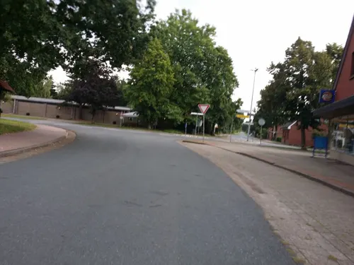
Findorff-Haus
Museum · 7.7 km
2 Iselerstraße, Bremervörde
"Mai - September: jeweils am ersten Sonntag im Monat 14:00 - 17:00...

Henriette
Monument and historic site · 6.1 km
Galerieholländer
66 Elmer Landstraße, Bremervörde

Schloss Bremervörde
Monument and historic site
8 Amtsallee, Bremervörde




12 more on the map.
Parks, trails and playgrounds16

Delphino Familienbad
Sports field and stadium · 1.0 km
36 Am Lagerberg, Bremervörde
Mo,Tu,Th 06:15-08:00,14:00-21:00; We...




4 more on the map.
Restaurants and cafes64
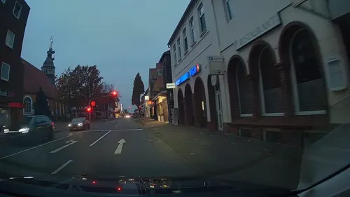

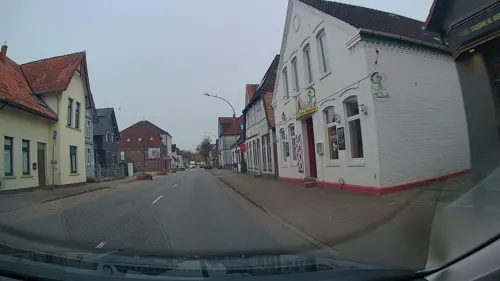
Beun
Restaurant · Asian, Sushi
113 Neue Straße, Bremervörde
11:30-22:00; Fr,Sa 11:30-22:30; "Online Bestellung nur bis 21:30"
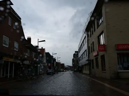
Germelmann Café
Cafe · Breakfast, Cake, Coffee Shop
12 Kirchenstraße, Bremervörde
Mo,Tu,Th,Fr 10:00-17:00; Sa,Su 09:00-18:00
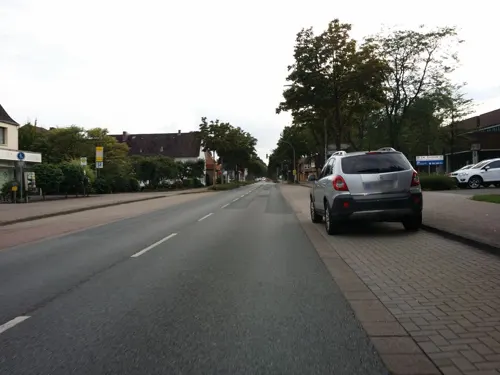
Im Sicken
Restaurant · Greek · 0.7 km
30 Gnarrenburger Straße, Bremervörde
Tu-Sa 17:00-22:00; PH,Su 12:00-14:00,17:00-22:00; Mo off
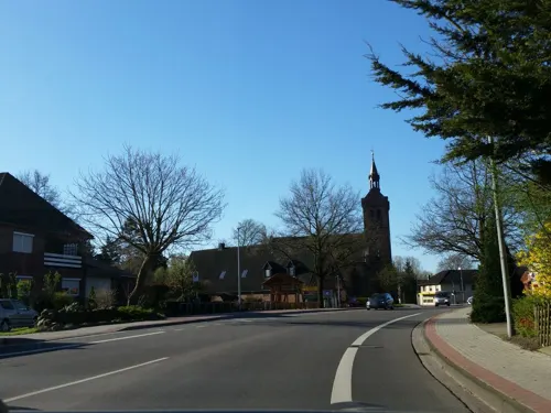
Pizzeria Pantano
Restaurant · Italian, Pizza · 5.1 km
8 Hauptstraße, Bremervörde
Mo-Tu off; We-Sa 17:30-21:00; Su 17:00-21:00
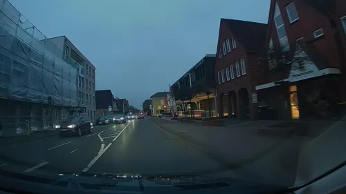
Restaurant Dubrovnik
Restaurant · Balkan, Mediterranean
36 Neue Straße, Bremervörde
Tu-Sa 11:30-14:30,17:30-22:00; Su 12:00-21:00
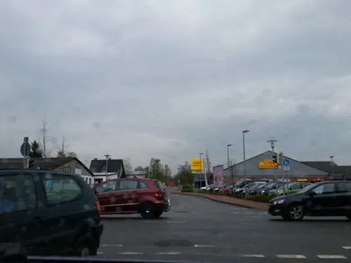

Café Kritz - Steffens Backkunst
Cafe
77 Alte Straße, Bremervörde
Mo-Fr 06:00-18:00; Sa 06:00-17:00; Su 07:00-17:00
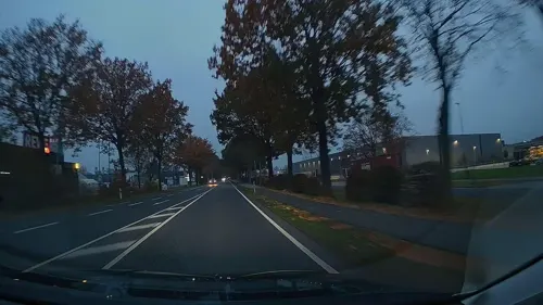
Feinbäckerei & Konditorei Barnstorff im REWE-Markt
Bakery · 2.1 km
8 Industriestraße, Bremervörde
Mo-Sa 07:00-19:00
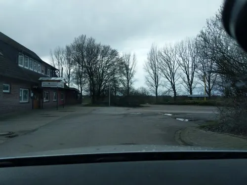


Quells Gasthof
Restaurant · 5.2 km
73 An der Chaussee, Bremervörde
Mo 16:00-24:00; Tu, Th-Su 10:00-24:00
52 more on the map.
History
By 1111 the Saxon Duke Lothair of Supplinburg, later king of the Holy Roman Empire, erected castrum vorde, the Vörde Castle at an Oste ford, important for the Oxen Way, an ancient trackway connecting Jutland with Westphalia.
Because of the strategically advantageous location between the rivers Elbe and Weser it was a matter of conflicts in the following centuries. Later it came under the control of Henry the Lion and then, in 1219, it fell under the control of the Prince-Archbishopric of Bremen, providing functions as capital with the prince-archiepiscopal residence and seat of government. The parliament, the Bremian Estates, convened at other places (usually in Basdahl), the Bremian cathedral chapter had its seat in the city of Bremen.
Maurice of Oldenburg (d. 1368), serving as Diocesan Administrator of Bremen since 1345, ruled the prince-archbishopric from Vörde. When the new Prince-Archbishop Albert II, invested in 1360, tried to depose him Maurice entrenched in Vörde Castle. Only after Albert's brothers Magnus II Torquatus, Duke of Brunswick and Lunenburg, Prince of Wolfenbüttel, and Louis, and the latter's father-in-law William II, Duke of Brunswick and Lunenburg (Celle line) and their Wolfenbüttelian and Cellean troops had beleaguered the Vörde in January 1362, Maurice signed his resignation.
From the History section of Bremervörde on Wikipedia, under CC BY-SA 4.0.
Where to stay9
Churches and places of worship15
Shopping17
Gas and EV charging8
Schools, colleges and libraries13
Healthcare6
Map of Bremervörde
178 places. The map loads OpenStreetMap tiles when you open it.
Getting there and nearby towns
Fliegerhorst Nordholz (FCN) is the nearest airport with scheduled flights listed in OpenStreetMap, 45 km away.
- Zeven 23 km south, about 23 min by car
- Hansestadt Stade 25 km northeast, about 25 min by car
- Harsefeld 24 km east, about 24 min by car
- Drochtersen 30 km northeast, about 30 min by car
- Schiffdorf 33 km west, about 33 min by car
- Loxstedt 33 km west, about 33 min by car
- Buxtehude 36 km east, about 36 min by car
- Jork 36 km east, about 36 min by car
- Osterholz-Scharmbeck 37 km southwest, about 37 min by car
- Bremerhaven 39 km west, about 39 min by car
Drive times are estimates from straight-line distance, not routes.
Local news
Headlines from INDB.
Reviews, tips and questions
Loading what members have shared...
Sources and licences
- GeoNames (CC BY 4.0): population, coordinates, regions and time zone
- Mapillary (see each image): photos
- OpenStreetMap contributors (ODbL 1.0): places, airports, map data
- Wikidata (CC0 1.0): elevation, founding date, time zone, website
- Wikimedia Commons (see each image): photos
- Wikipedia (CC BY-SA 4.0): overview and history text
Photo credits
- Bremervörde 1, Michiel1972, CC BY-SA 3.0
- St. Liborius Kirche Bremervörde, Aufgenommen von FirstAdmiral, CC BY-SA 3.0 de
- Stele Bremervörde Alte Straße, Westseite, Gerd Fahrenhorst, CC BY 4.0
- L+ Bremervörde Vogelperspektive, Felix Holzapfel-Herziger, Landschaftsarchitektur+ , Schanzenstraße 117, 20357 Hamburg, CC BY-SA 4.0
- Stele Bremervörde Alte Straße, Ostseite, Gerd Fahrenhorst, CC BY 4.0
- Bremervörde Marktplatz, Aufgenommen von FirstAdmiral ., CC BY-SA 3.0
- Bremervörde Rathaus, Aufgenommen von FirstAdmiral ., CC BY-SA 3.0
- Torfstecher (Bremervörde) 2, Gerd Fahrenhorst, CC BY 4.0
- Torfstecher (Bremervörde) 3, Gerd Fahrenhorst, CC BY 4.0
- Torfstecher (Bremervörde) 4, Gerd Fahrenhorst, CC BY 4.0
- Rathaus Bremervörde, Südflügel mit Glockenspiel und Uhr, Gerd Fahrenhorst, CC BY 4.0
- Torfstecher (Bremervörde) 1, Gerd Fahrenhorst, CC BY 4.0
- Amtsgericht Bremervörde, Aufgenommen von FirstAdmiral ., CC BY-SA 3.0
- Volksbank in Bremervörde, Gerd Fahrenhorst, CC BY 4.0
- Bunter Weg, Bahnhofstraße Bremervörde, Gerd Fahrenhorst, CC BY 4.0
- Fassadenkunst an der Nordseite der Schule Bahnhofstraße Bremervörde, Gerd Fahrenhorst, CC BY 4.0
- Kreisarchiv in Bremervörde, Gerd Fahrenhorst, CC BY 4.0
- Mario 7 (Maria Wende, Bremervörde) 1, Gerd Fahrenhorst, CC BY 4.0
- Mario 7 (Maria Wende, Bremervörde) 2, Gerd Fahrenhorst, CC BY 4.0
- Bremervörde, Züge und Bahnanlagen, Gerd Fahrenhorst, CC BY 4.0
- Bremervörde Michael, Kirchenfan, CC0
- Bahnhof Bremervörde 2019, Gerd Fahrenhorst, CC BY 4.0
- Der freundliche Metalldetektor (Bremervörde) 2, Gerd Fahrenhorst, CC BY 4.0
- Der freundliche Metalldetektor (Bremervörde) 1, Gerd Fahrenhorst, CC BY 4.0
- Station Bremervörde 2021 5, Smiley.toerist, CC BY-SA 4.0
- Station Bremervörde 2021 2, Smiley.toerist, CC BY-SA 4.0
- Station Bremervörde 2021 1, Smiley.toerist, CC BY-SA 4.0
- Station Bremervörde 2021 4, Smiley.toerist, CC BY-SA 4.0
- Station Bremervörde 2021 3, Smiley.toerist, CC BY-SA 4.0
- Bremervörde Marina North, FirstAdmiral, CC BY-SA 3.0
- Bremervörde Marina South, FirstAdmiral, CC BY-SA 3.0
- Kanurutsche Bremervörde Oste, FirstAdmiral, CC BY-SA 3.0
- Naturschutzgebiet Beverner Wald, Smarties, CC BY-SA 4.0
- Cuxhaven Fotoflugkurs 3957, Ailura, CC BY-SA 3.0
- Bremervörde, Altes Kreishaus Rückseite, No machine-readable author provided. Geoz assumed (based on copyright claims)., CC BY-SA 3.0
- Bremervörde Hospital, FirstAdmiral, CC BY-SA 3.0
- Schwinge im Naturschutzgebiet Schwingetal, Smarties, CC BY-SA 4.0
- Lausitz Luftsport- & Techniktage 2013-Hinflug by-RaBoe 0078 retusche, © Ra Boe / Wikipedia , derivative work Lämpel, CC BY-SA 3.0 de
- Naturschutzgebiet Osteschleife Hundswiesen, Smarties, CC BY-SA 4.0
- Gangolf-Kark in Örel 02, Tadü, CC BY-SA 4.0
- Christophorus-Kark in Öös 06, Tadü, CC BY-SA 4.0
- Kirche Bevern, ClausNe, CC BY-SA 4.0
- Naturschutzgebiet Elmer Berg und Ostewiesen 002, Smarties, CC BY-SA 4.0
- Bevern - Ziegelei Pape, Oxfordian Kissuth, CC BY-SA 3.0
- Windmühle "Henriette" in Bremervörde-Elm, Christian der Vierte, CC BY-SA 4.0
- Bremervörde, Altes Kreishaus Vorderseite, No machine-readable author provided. Geoz assumed (based on copyright claims)., CC BY-SA 3.0
- Stolperstein Bremervörde Iselersheim Iselerstraße 2 Annemarie Gerken, Gmbo 2013, CC0
- Stolperstein Bremervörde Iselersheim Iselerstraße 2 Stefan Szablewski, Gmbo 2013, CC0
- Vörder See mit Seemann, Natur- und Erlebnispark Bremervörde GmbH, Iris Köster, CC BY-SA 3.0
- Naturschutzgebiet Spreckenser Moor, Smarties, CC BY-SA 4.0
- Welt der Sinne, Natur- und Erlebnispark Bremervörde GmbH, Iris Köster, CC BY-SA 3.0
- Stuhmer Museum, Bremervöör, Tadü, CC BY-SA 4.0
- Street-level photo, abmap, CC BY-SA 4.0
- Street-level photo, himmelbuerger, CC BY-SA 4.0
- Street-level photo, StefanS79, CC BY-SA 4.0
- Street-level photo, StefanS79, CC BY-SA 4.0
- Street-level photo, StefanS79, CC BY-SA 4.0
- Street-level photo, abmap, CC BY-SA 4.0
- Street-level photo, calmapill, CC BY-SA 4.0
- Street-level photo, himmelbuerger, CC BY-SA 4.0
- Street-level photo, himmelbuerger, CC BY-SA 4.0
- Street-level photo, himmelbuerger, CC BY-SA 4.0
- Street-level photo, StefanS79, CC BY-SA 4.0
- Street-level photo, StefanS79, CC BY-SA 4.0
- Street-level photo, StefanS79, CC BY-SA 4.0
- Street-level photo, nesshof, CC BY-SA 4.0
- Street-level photo, himmelbuerger, CC BY-SA 4.0
- Street-level photo, nesshof, CC BY-SA 4.0
- Street-level photo, StefanS79, CC BY-SA 4.0
- Street-level photo, frankvival, CC BY-SA 4.0
- Street-level photo, nesshof, CC BY-SA 4.0
- Street-level photo, himmelbuerger, CC BY-SA 4.0
- Street-level photo, himmelbuerger, CC BY-SA 4.0
- Street-level photo, himmelbuerger, CC BY-SA 4.0
- Street-level photo, himmelbuerger, CC BY-SA 4.0
- Street-level photo, himmelbuerger, CC BY-SA 4.0
- Street-level photo, himmelbuerger, CC BY-SA 4.0
- Street-level photo, himmelbuerger, CC BY-SA 4.0
- Street-level photo, himmelbuerger, CC BY-SA 4.0


Page built November 8, 2026. Spotted a mistake? Tell us or suggest a place.