


Brunsbüttel, Germany
Brunsbüttel is a town of 13,950 people in Schleswig-Holstein, Germany.
Why visit Brunsbüttel
Townapedia lists 6 museums and landmarks, 8 parks and trails, 34 places to eat, 9 places to stay and 11 attractions in and around town.
Highlights include Metropol Kino, Alter Leuchtturm Balje, Heimatmuseum and Stadtgalerie im Elbeforum.
Weather in Brunsbüttel
Forecast from MET Norway (CC BY 4.0). Full forecast
About Brunsbüttel
Brunsbüttel (German pronunciation: [ˈbʁʊnsbʏtl̩] ; Northern Low Saxon: Bruunsbüddel) is an industrial and harbour town in the district of Dithmarschen, in Schleswig-Holstein, northern Germany that lies at the mouth of the Elbe river, near the North Sea. It is the location of the western entrance to the Kiel Canal.
From the Wikipedia article Brunsbüttel (this version), under CC BY-SA 4.0.
Travel tips from other travellers: Brunsbüttel on Wikivoyage (CC BY-SA 4.0).
Things to do11
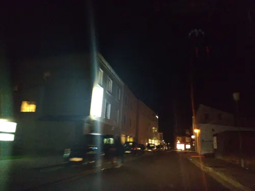
Metropol Kino
Cinema and theater · 2.3 km
2a Posadowskystraße, Brunsbüttel
"Kino, daher nur geöffnet bei Filmvorführungen"






Museums and landmarks6

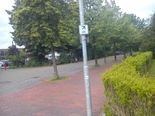
Stadtgalerie im Elbeforum
Museum · 1.2 km
5 Von-Humboldt-Platz, Brunsbüttel
Th-Sa 15:00-18:00; Su 11:00-18:00;"Nach Vereinbarung"



Parks, trails and playgrounds8

Freizeitbad Brunsbüttel
Sports field and stadium · 1.9 km
Am Freizeitbad, Brunsbüttel
Mo off;Tu-Fr 07:00-21:00;Sa-Su 10:00-19:00





Restaurants and cafes34
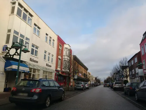
Eiscafé Italia da Salvatore
Cafe · 2.3 km
Speiseeis aus eigener Herstellung, Cappuccinos und vieles mehr im Eiscafé Italia da Salvatore.
78 Koogstraße, Brunsbüttel
Th-Tu 10:00-20:00



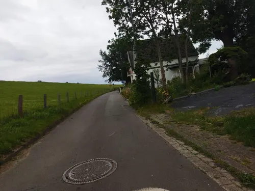
Bäckerei Balzer
Bakery · 2.2 km
66 Koogstraße, Brunsbüttel
Mo-Fr 05:00-17:00; Sa 05:00-12:00; Su 06:00-12:00
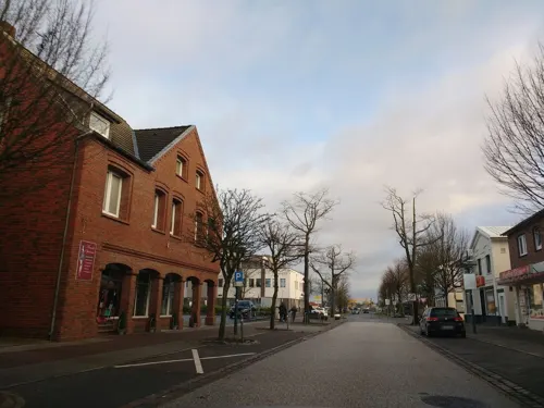
China-Bistro Hoa Mai
Restaurant · Chinese · 2.5 km
98 Koogstraße, Brunsbüttel
Mo-Su 11:30-22:00
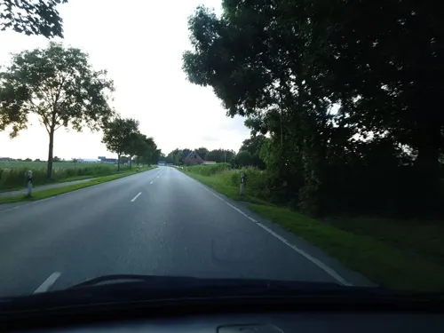
Dielenzauber Hofcafé & Dekoscheune
Cafe · 4.8 km
2 Bundesstraße, Neufeld
Fr 14:00-18:00; Sa 10:00-18:00; Su 12:00-18:00
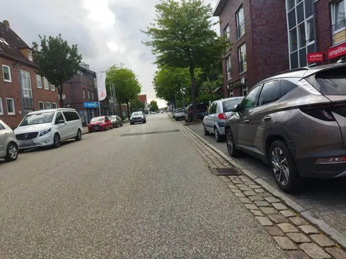
Dubrovnik
Restaurant · Greek · 1.9 km
27 Koogstraße, Brunsbüttel
Tu-Th,Sa,Su 12:00-14:00, Tu-Su 17:30-23:00; Mo off
Heuer-der Elbbäcker
Bakery · 2.4 km
75 Koogstraße, Brunsbüttel
Mo-Fr 05:00-19:00; Sa 05:00-16:00; Su 06:00-17:00


22 more on the map.
History
The earliest reference to the town is in a document dated 14 July 1286.
With the construction of the Kiel Canal (German: Nord-Ostsee-Kanal) in 1911, the town was divided in two.
During the opening days of World War II, on 4 September 1939, the No. 149 Squadron RAF carried out the second bombing of that war, targeting warships near the town.
From the History section of Brunsbüttel on Wikipedia, under CC BY-SA 4.0.
Where to stay9
Churches and places of worship4
Shopping11
Gas and EV charging5
Schools, colleges and libraries6
Healthcare4
Map of Brunsbüttel
98 places. The map loads OpenStreetMap tiles when you open it.
Getting there and nearby towns
Flugplatz Heide-Büsum (HEI) is the nearest airport with scheduled flights listed in OpenStreetMap, 32 km away.
- Glückstadt 24 km southeast, about 24 min by car
- Cuxhaven 27 km west, about 27 min by car
- Itzehoe 27 km east, about 27 min by car
- Drochtersen 28 km southeast, about 28 min by car
- Heide 33 km north, about 33 min by car
- Elmshorn 40 km southeast, about 40 min by car
- Hansestadt Stade 41 km southeast, about 41 min by car
- Uetersen 43 km southeast, about 43 min by car
- Bremervörde 46 km south, about 46 min by car
- Bremerhaven 52 km southwest, about 52 min by car
Drive times are estimates from straight-line distance, not routes.
Local news
Headlines from INDB.
Reviews, tips and questions
Loading what members have shared...
Sources and licences
- GeoNames (CC BY 4.0): population, coordinates, regions and time zone
- Mapillary (see each image): photos
- OpenStreetMap contributors (ODbL 1.0): places, airports, map data
- Wikidata (CC0 1.0): elevation, founding date, time zone, website
- Wikimedia Commons (see each image): photos
- Wikipedia (CC BY-SA 4.0): overview and history text
Photo credits
- Nord-Ostsee-Kanal Brunsbüttel, user:UlrichAAB, CC BY 3.0
- 2017-05-27 Brunsbüttel Jakobuskirche 02 Süd-Ansicht, Eduard47, CC BY-SA 4.0
- Ehem.Pastorat, Brunsbüttel, Corinna Sewtz, CC BY-SA 4.0
- Schleswig-Holstein, Brunsbüttel, Ehrenmal NIK 2401, Nightflyer, CC BY 4.0
- Schleswig-Holstein, Brunsbüttel, Ehrenmal NIK 2399, Nightflyer, CC BY 4.0
- Schleswig-Holstein, Brunsbüttel, Ehrenmal NIK 6272, Nightflyer, CC BY-SA 4.0
- Schleswig-Holstein, Brunsbüttel, Ehrenmal NIK 6272 Ausschnitt Grundungsinschrift, Nightflyer, CC BY-SA 4.0
- Schleswig-Holstein, Brunsbüttel, Ehrenmal NIK 2394, Nightflyer, CC BY 4.0
- 2017-05-27 Brunsbüttel Jakobuskirche 03 Ost-Ansicht, Eduard47, CC BY-SA 4.0
- Schleswig-Holstein, Brunsbüttel, Ehrenmal NIK 2392, Nightflyer, CC BY 4.0
- Schleswig-Holstein, Brunsbüttel, Jakobuskirche NIK 3317, Nightflyer, CC BY-SA 4.0
- St. Jakobus Brunsbüttel, Corinna Sewtz, CC BY-SA 4.0
- 2017-05-27 Brunsbüttel Jakobuskirche 01 SW-Ansicht, Eduard47, CC BY-SA 4.0
- 2017-05-27 Brunsbüttel Matthias Boie-Haus, Eduard47, CC BY-SA 4.0
- Brunsbüttel KiGa Jakobus, Peter Oldekop, CC BY-SA 3.0
- 2020-09-21 Brunsbüttel-Neufeld-Marne (74-2), Eduard47, CC BY-SA 4.0
- Schleswig-Holstein, Brunsbüttel, Fähranleger Cuxhaven NIK 7184, Nightflyer, CC BY 4.0
- Schleswig-Holstein, Brunsbüttel, Fähranleger Cuxhaven NIK 7189, Nightflyer, CC BY 4.0
- Schleswig-Holstein, Brunsbüttel, Fähranleger Cuxhaven NIK 7192, Nightflyer, CC BY 4.0
- Brunsbüttel KiGa Noahs Arche, Peter Oldekop, CC BY-SA 3.0
- Panzersperre (Brunsbüttel 1998-08) - panoramio, Professor Phisigma, CC BY-SA 3.0
- Balje 2013 by-RaBoe 015, © Ra Boe / Wikipedia, CC BY-SA 3.0 de
- Balje range lights 3160, Ein Dahmer, CC BY-SA 4.0
- Brunsbuettel 2010 5 114 (RaBoe), © Ra Boe / Wikipedia, CC BY-SA 3.0
- Brunsbuettel Molenfeuer 2 bis 4, Oberlausitzerin64, CC BY-SA 4.0
- Brunsbuettel 2010 5 012 (RaBoe), © Ra Boe / Wikipedia, CC BY-SA 3.0
- Kirche eddelak 8, Dirtsc, CC BY-SA 4.0
- 2021 Brunsbüttel Schleusenmuseum, Peter Oldekop, CC BY-SA 4.0
- 2021 Brunsbüttel Heimatmuseum, Peter Oldekop, CC BY-SA 4.0
- Alter Hafen Brunsbüttel 2021-08-01 02, Leonhard Lenz, CC0
- Balje alter Leuchtturm, Oberlausitzerin64, CC BY-SA 4.0
- Brunsbuettel Molenfeuer 1, Oberlausitzerin64, CC BY-SA 4.0
- Brunsbuettel 2010 5 004 (RaBoe), © Ra Boe / Wikipedia, CC BY-SA 3.0
- Brunsbuettel Nord-Ostssee-Kanal Schleuse Unterfeuer, Radler59, CC BY-SA 4.0
- Balje 2009 -Wildvogelreservat Nordkehdingen- by-RaBoe 003, Ra Boe, CC BY-SA 3.0
- Brunsbüttel Maria Meeresstern (2), Peter Oldekop ( Peter Werner at de.wikipedia ), CC BY-SA 3.0
- Kirche eddelak 5, Dirtsc, CC BY-SA 4.0
- Matthias Boie-Haus, Jens Rusch, CC BY-SA 3.0
- Reichenstraße 1, Corinna Sewtz, CC BY-SA 4.0
- BRB Jakobuskirche 3, Peter Oldekop at de.wikipedia ), CC BY-SA 3.0
- Dithmarschen, Neufeld, Hafen NIK 7176, -- Nightflyer ( talk ) 19:42, 28 August 2017 (UTC), CC BY-SA 4.0
- Street-level photo, fischkopp0815, CC BY-SA 4.0
- Street-level photo, changchun1, CC BY-SA 4.0
- Street-level photo, thetornado76, CC BY-SA 4.0
- Street-level photo, thetornado76, CC BY-SA 4.0
- Street-level photo, changchun1, CC BY-SA 4.0
- Street-level photo, fischkopp0815, CC BY-SA 4.0
- Street-level photo, changchun1, CC BY-SA 4.0
- Street-level photo, thetornado76, CC BY-SA 4.0
- Street-level photo, thetornado76, CC BY-SA 4.0
- Street-level photo, thetornado76, CC BY-SA 4.0
- Street-level photo, fischkopp0815, CC BY-SA 4.0
- Street-level photo, etlam, CC BY-SA 4.0
- Street-level photo, robffm, CC BY-SA 4.0
- Street-level photo, changchun1, CC BY-SA 4.0
- Street-level photo, thetornado76, CC BY-SA 4.0
- Street-level photo, matthiaswetzels, CC BY-SA 4.0
- Street-level photo, changchun1, CC BY-SA 4.0
- Street-level photo, changchun1, CC BY-SA 4.0
- Street-level photo, blockki, CC BY-SA 4.0
- Street-level photo, thetornado76, CC BY-SA 4.0
- Street-level photo, thetornado76, CC BY-SA 4.0
- Street-level photo, changchun1, CC BY-SA 4.0


Page built November 8, 2026. Spotted a mistake? Tell us or suggest a place.