


Karlstadt, Germany
Landkreis Karlstadt
Karlstadt is a town of 15,272 people in Bavaria, Germany, founded in 1862.
Why visit Karlstadt
Townapedia lists 234 museums and landmarks, 33 parks and trails, 90 places to eat, 12 places to stay and 85 attractions in and around town.
Highlights include Hofladen & Partyservice Wolf Gbr, Weingut Höfling, Landratsamt Main-Spessart and Stadtgeschichtliches Museum Karlstadt.
Weather in Karlstadt
Forecast from MET Norway (CC BY 4.0). Full forecast
Things to do85

Hofladen & Partyservice Wolf Gbr
Farm and orchard · 4.3 km
4A Hofriedgasse
Mo-Fr 09:00-18:00; Sa 09:00-13:00
Weingut Höfling
Farm and orchard · 4.1 km
14 Kellereigasse, Eußenheim
Mo-Fr 09:00-12:00, 13:00-18:00; Sa 09:00-12:00



Häusemer Hoflädle
Farm and orchard · 8.1 km
We,Fr 13:30-18:00; Sa 08:00-12:00; PH off
73 more on the map.
Museums and landmarks234

Landratsamt Main-Spessart
Monument and historic site · 0.6 km
8 Marktplatz, Karlstadt
Mo-Tu, Th 08:00-12:00, 13:30-15:30; We, Fr 08:30-12:00
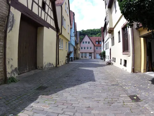


Ehemaliger Wohnturm
Monument and historic site · 0.6 km
42 Hauptstraße, Karlstadt

Ehemaliges Amtsgericht mit Wohnhaus
Monument and historic site
51 Ringstraße, Karlstadt

Maintor
Monument and historic site · 0.7 km
Stadttor, Mauertor mit Rundbogen und Hochwassermarken sowie seitlichem Rundturm

Ruine Karlsburg
Monument and historic site · 1.1 km
Mit Kellergewölbe


Schönrain am Main
Monument and historic site · 11.4 km
Cultural heritage monument D-6-77-131-71 (0) in Gemünden am Main, Bavaria

Bastionsturm
Monument and historic site
Halbrund, der inneren Mauer vorgestellt mit vorkragendem Obergeschoss, der zugehörige Erdwall auf der Stadtseite nicht erhalten
222 more on the map.
Parks, trails and playgrounds33




Yachtclub Wernfeld / Main e.V.
Marina and boat launch · 8.1 km
Main-km 216,2 LU; Strom/Wasser, Dusche/WC, Waschmaschine, Slipanlage

Sportboothafen Laudenbach
Marina and boat launch · 1.3 km
Main-km 227,5; Strom/Wasser, Tiefe: 1.8m

21 more on the map.
Restaurants and cafes90
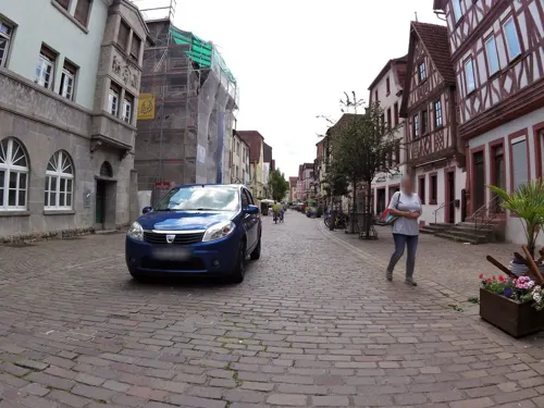
Batzenärrle - Ristorante / Pizzeria
Restaurant · Italian, Pizza · 0.7 km
Im Kellergewölbe
6 Hauptstraße, Karlstadt
We-Mo 11:30-14:00, 17:00-23:00; Th off

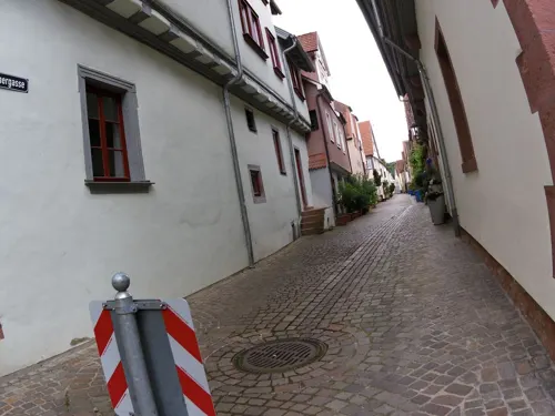
Café Denkmal
Cafe · 0.7 km
Zugang für Rollstühle durch einen Seiteneingang in der Kärnergasse.
6 Maingasse, Karlstadt
Th-Su 10:00-17:00
Da Francesco
Restaurant · Italian Pizza · 0.6 km
6 Marktplatz, Karlstadt
Th-Tu 11:30-15:00, 17:00-23:00

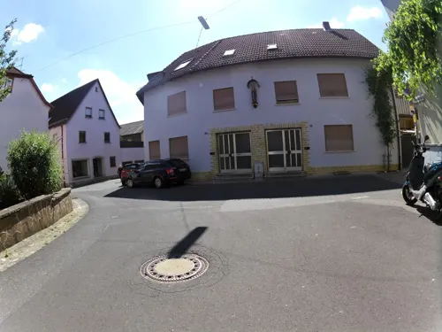
Gasthaus Durmich
Restaurant · Regional · 7.2 km
3 Heckenstraße, Zellingen
Th,Fr 18:00-20:00; Sa 17:00-19:45; Su 10:30-12:30
Pizzeria Puglia
Restaurant · Italian · 6.3 km
1 Paradiesstraße, Zellingen
Mo off; Tu-Sa 17:00-22:00; PH,Su 11:00-14:00,17:00-22:00
Pizzeria Restaurante Saupurzel Punta del Sud
Restaurant · Pizza, Italian · 0.6 km
5 Am Tiefen Weg, Karlstadt
Tu 17:00-22:00; We-Sa 11:00-14:00 , 17:00-22:00; Su 11:00-14:00 ,...
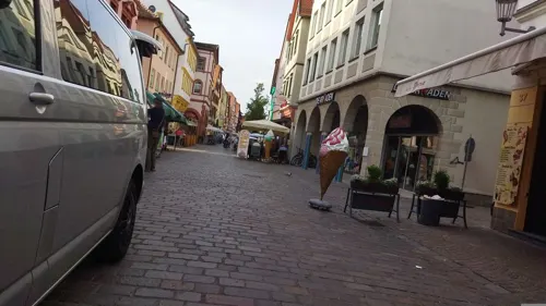
Ratskeller
Restaurant · Greek · 0.6 km
1 Marktplatz, Karlstadt
Mo-We,Th-Su 11:30-14:00,17:30-22:00; Th off
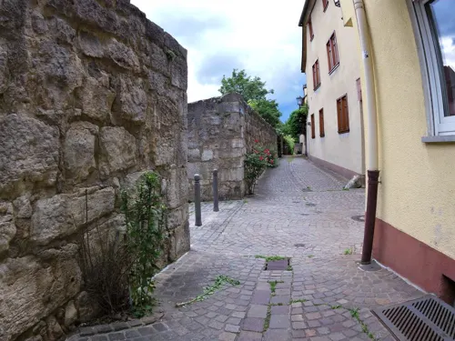
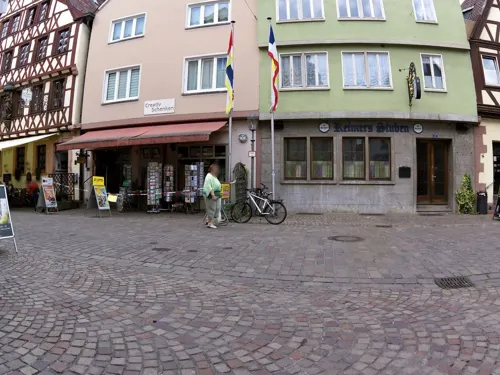
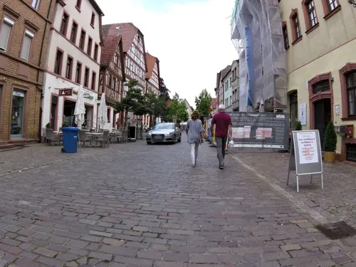


Al Bacaro
Restaurant · Italian · 0.6 km
Durchgehend warme Küche
27 Hauptstraße, Karlstadt
Tu-Su 11:30-14:00, 17:00-22:00
78 more on the map.
Where to stay12
Churches and places of worship70
St. Gertrud
Church · Roman Catholic · 9.2 km
11 Hauptstraße, Karsbach
Aserbaidschan Kultur Verein Karlstadt e.V
Place of worship · Shia · 1.0 km
4 Martellstraße, Karlstadt
Maria-Hilf-Kapelle
Church · Roman Catholic · 7.2 km
Duttenbrunner Straße, Zellingen
Shopping23
Gas and EV charging10
Schools, colleges and libraries22
Healthcare6
Map of Karlstadt
250 places. The map loads OpenStreetMap tiles when you open it.
Getting there and nearby towns
Verkehrslandeplatz Giebelstadt (GHF) is the nearest airport with scheduled flights listed in OpenStreetMap, 37 km away.
- Lohr am Main 15 km west, about 15 min by car
- Veitshöchheim 16 km southeast, about 16 min by car
- Marktheidenfeld 18 km southwest, about 18 min by car
- Würzburg 23 km southeast, about 23 min by car
- Werneck 23 km east, about 23 min by car
- Wertheim 29 km southwest, about 29 min by car
- Schweinfurt 34 km east, about 34 min by car
- Kitzingen 37 km southeast, about 37 min by car
- Tauberbischofsheim 38 km south, about 38 min by car
- Ochsenfurt 39 km southeast, about 39 min by car
Drive times are estimates from straight-line distance, not routes.
Local news
Headlines from INDB.
Reviews, tips and questions
Loading what members have shared...
Sources and licences
- GeoNames (CC BY 4.0): population, coordinates, regions and time zone
- Mapillary (see each image): photos
- OpenStreetMap contributors (ODbL 1.0): places, airports, map data
- Wikidata (CC0 1.0): elevation, founding date, time zone, website, landmarks and historic places
- Wikimedia Commons (see each image): photos
Photo credits
- Nantenbach Mainbrücke Schönrain-Tunnel 2006-01-29-b, Unknown author, CC BY 2.5
- RuineSchoenrainSO, Fjellfross at German Wikipedia, CC BY-SA 3.0
- RuHomburg1, Bonnlander, CC BY-SA 3.0
- 2020 Ruine Karlburg 04, Derzno, CC BY-SA 4.0
- Karlstadt Spitalkirche 1508, Reinhardhauke, CC BY-SA 3.0
- Karlstadt St. Andreas 1436, Reinhardhauke, CC BY-SA 3.0
- Himmelstadt-St-Jakobus-02, Störfix, CC BY-SA 3.0 de
- Karlstadt, Maintor, Stadtseite-001, Tilman2007, CC BY-SA 3.0
- Karlstadt, Hauptstraße 33-001, Tilman2007, CC BY-SA 3.0
- Karlstadt, Hauptstraße 39-001, Tilman2007, CC BY-SA 3.0
- Karlstadt, Hauptstraße 42 20170312 003, Tilman2007, CC BY-SA 4.0
- Karlstadt, Kirchplatz 3 20170312 001, Tilman2007, CC BY-SA 4.0
- Karlstadt, Marktplatz 8 20170312 001, Tilman2007, CC BY-SA 4.0
- Karlstadt, Arnsteiner Straße 3, Ev. Kirche-001, Tilman2007, CC BY-SA 3.0
- Karlstadt, Ringstraße 49 und 51, 004, Tilman2007, CC BY-SA 3.0
- Karlstadt, Mühlbach, Martellstraße 4-001, Tilman2007, CC BY-SA 3.0
- Steinfeld, Kath. Pfarrkirche Mariä Himmelfahrt und St. Bartholomäus-001, Tilman2007, CC BY-SA 3.0
- D-6-77-203-10, Kath. Friedhofskirche Maria Hilf Zellingen 20220106 0058, Tilman2007, CC BY-SA 4.0
- BY KarlstTrGeb Grainberg Herbst 03, Bonnlander, CC BY-SA 3.0
- Adonissuche (7), Keltenhuegel, CC BY-SA 4.0
- Eussenh Giebel Ansicht, Bonnlander, CC BY-SA 3.0
- BY KarlstTrGeb Blick zum Rehnützberg, Bonnlander, CC BY-SA 3.0
- NSG Mäusberg-Rammersberg-Ständelberg 2006 04, Bonnlander, CC BY-SA 4.0
- Steinfeld, Hausen, Filialkirche-002, Tilman2007, CC BY-SA 3.0
- Hauptstraße 11 Karsbach 20200614 001, Tilman2007, CC BY-SA 4.0
- Arnstein, Binsfeld, Katholische Pfarrkirche St. Nikolaus, 001, Tilman2007, CC BY-SA 3.0
- Burg Karlsburg, Gerdt at German Wikipedia, CC BY-SA 3.0
- Karlstadt St. Andreas 01, ErwinMeier, CC BY-SA 4.0
- Saupurzel 2023 Mai 25 Landschaft 01, Bonnlander, CC BY-SA 4.0
- Landschaft mit Adonisröschen im NSG Mäusberg-Rammersberg-Ständelberg im Abendlicht, Christine Meinecke, CC BY-SA 4.0
- Aerial Steinfeld Kirche P1150572a, Sigi Knoll (Lagaly de), CC BY-SA 3.0
- D-6-77-203-10, Kath. Friedhofskirche Maria Hilf Zellingen 20220106 0056, Tilman2007, CC BY-SA 4.0
- Street-level photo, zoegglmeyr, CC BY-SA 4.0
- Street-level photo, zoegglmeyr, CC BY-SA 4.0
- Street-level photo, zoegglmeyr, CC BY-SA 4.0
- Street-level photo, tian, CC BY-SA 4.0
- Street-level photo, changchun1, CC BY-SA 4.0
- Street-level photo, zoegglmeyr, CC BY-SA 4.0
- Street-level photo, zoegglmeyr, CC BY-SA 4.0
- Street-level photo, zoegglmeyr1, CC BY-SA 4.0
- Street-level photo, zoegglmeyr, CC BY-SA 4.0
- Street-level photo, zoegglmeyr, CC BY-SA 4.0
- Street-level photo, zoegglmeyr, CC BY-SA 4.0
- Street-level photo, zoegglmeyr, CC BY-SA 4.0
- Street-level photo, zoegglmeyr, CC BY-SA 4.0
- Street-level photo, tian, CC BY-SA 4.0
- Street-level photo, bufonto, CC BY-SA 4.0
- Street-level photo, zoegglmeyr1, CC BY-SA 4.0
- Street-level photo, tian, CC BY-SA 4.0
- Street-level photo, tian, CC BY-SA 4.0
- Street-level photo, tian, CC BY-SA 4.0
- Street-level photo, zoegglmeyr1, CC BY-SA 4.0
- Street-level photo, tian, CC BY-SA 4.0
- Street-level photo, frhh211, CC BY-SA 4.0
- Street-level photo, tian, CC BY-SA 4.0


Page built November 8, 2026. Spotted a mistake? Tell us or suggest a place.